Liberia: parks and protected areas
Parks and protected areas in Liberia, including Sapo and Lake Piso.
11 parks

Trace the mapped spread of protected lands and natural landscapes across Gambia's geography.
Locate parks and protected areas in The Gambia, then select a park to open its profile.
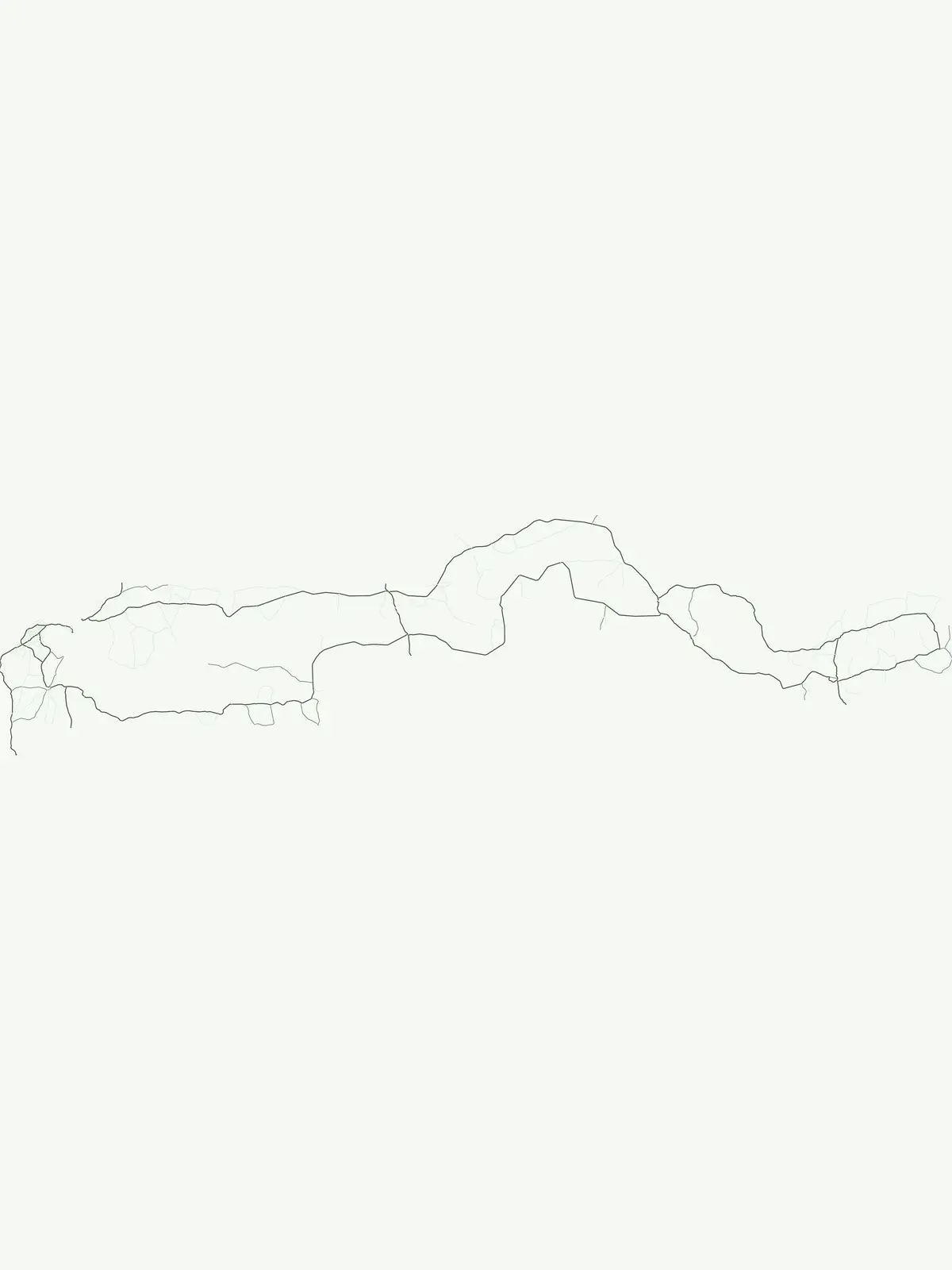
Explore mapped park locations and protected area geography across Gambia.
Interactive map of parks and protected areas in The Gambia.
Explore matching national parks through clustered map points and detailed park profiles.
Trace regional national park geography and protected landscapes across West Africa, comparing countries to Gambia.
Parks and protected areas in Liberia, including Sapo and Lake Piso.
Parks and protected areas in Guinea, including Upper Niger NP and Haut-Niger.
Parks and protected areas in Guinea-Bissau, including Orango National Park and Cufada.
Parks and protected areas in Senegal, including Niokolo-Koba and Saloum Delta.

Parks and protected areas in Sierra Leone, including GRNP and Outamba-Kilimi.
Parks and protected areas in Mauritania, including Banc d'Arguin and Diawling.
Parks and protected areas in Cabo Verde, including Fogo Park and Fogo Natural Park.
Parks and protected areas in Western Sahara, including Khnifiss.
Open the park list for The Gambia to explore locations and park characteristics.