Mori Atlas logo
Countries

Browse the geographic spread and mapped natural terrain of conservation lands across Samoa.

Samoa: parks and protected areas

Explore maps and profiles of protected areas in Samoa, including O Le Pupu-Puʿe National Park and Lanoto'o.

Samoa: parks and protected areas
Park system

Samoa Park System and Tropical Protected Area Profile

Analyzing geographic scale, tropical habitats, and conservation history across island reserves.

Compiled datasets aggregate known conservation records across Samoa to highlight median reserve sizes, volcanic habitat types, and coastal ecosystems. Evaluating these integrated metrics reveals how designation diversity and climate zones shape the preservation of diverse tropical landscapes where documented data is available.

Known protected area

54.9 km²

Area data available for 2 of 2 parks.

Median park size

27.5 km²

Median across 2 parks with known area.

Oldest known park

Established in 1978.

Largest known park

Recorded area: 50.2 km².

Designation distribution

Habitat distribution

Climate distribution

About

Trace the Mapped Geography of Samoa's Protected Landscapes and Island Conservation Areas

Discover National Parks in Samoa: Explore Protected Areas and Volcanic Landscapes of the Pacific

Explore the comprehensive atlas of national parks and protected areas across Samoa, offering a detailed view of its significant conservation landscapes. Gain geographic insight into the distribution of Samoa's diverse protected lands, including volcanic terrain and tropical forests, making it a valuable starting point for regional park discovery.

Samoa, officially the Independent State of Samoa, is a Pacific island nation located in Polynesia. It gained independence from New Zealand on January 1, 1962. The country is known for its Polynesian culture, volcanic landscapes, and traditional village governance system.

Samoa is a unitary parliamentary democracy with 11 administrative divisions. The country has a population of approximately 205,000 people, with the majority being Samoan. English and Samoan are the official languages. Samoa was a German colony until World War I, then came under New Zealand administration before achieving independence in 1962.

Largest city:Apia
Currency code:WST
ISO code:WS
Parks count
2
Capital
Apia
Area
2,831 km²
Population
205,557 (2,021)

Coastal
Island
Mountainous
Landlocked
Park atlas2 parks

Browse mapped park geography and conservation zones across Samoa's volcanic islands and tropical forests.

National Parks and Protected Areas in Samoa: Discovering Island Conservation Landscapes

Explore Samoa's national parks and protected areas, encompassing unique volcanic landscapes, vital wetland conservation sites, and expansive tropical forest reserves across its islands. This country-level atlas provides structured geographic insight, enabling users to trace the protected terrain and understand regional conservation efforts within Polynesia.
A digital illustration showing a tropical coastline with high dark volcanic cliffs, dense green forest, and ocean waves crashing against rocky outcrops at sunrise.
National parkSamoa

O Le Pupu-Puʿe National Park: Explore Samoa's Protected National Park Geography and Boundaries

Mapped terrain and protected landscape context for this Samoan national park.

Understand O Le Pupu-Puʿe National Park as a significant protected area within Samoa's archipelago. This detail entry provides essential geographic context, mapping its boundaries and situating it within the nation's protected lands. Explore the park's role as a national park and its contribution to the mapped natural landscape of Samoa.

Area
50.2 km²
Established
1978
IUCN
II
Relief
Mixed relief
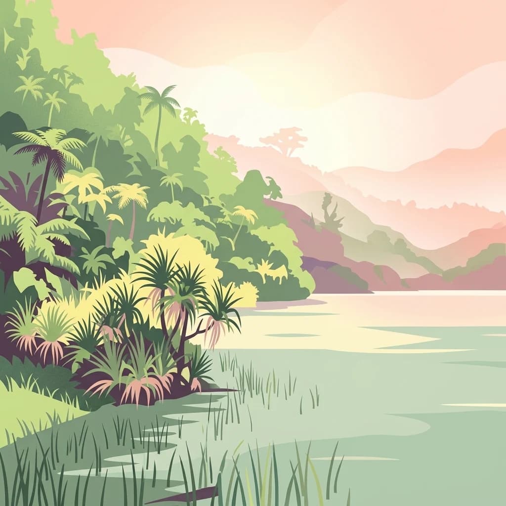
A stylized illustration of a tropical crater lake surrounded by dense green forest, palms, and grassy marshes under a soft pink sunset sky.
National parkUpolu

Lake Lanoto'o National Park: Discover Its Protected Landscape and Geographic Setting on Upolu

Explore park boundaries and regional natural terrain.

Lake Lanoto'o National Park represents a crucial protected area on the island of Upolu, Samoa. This page provides detailed geographic information, focusing on the park's mapped boundaries and its contribution to the natural landscape of the region. Understand its role as a national park and its position within the broader atlas of protected lands, offering insight into the island's unique geography.

Area
4.7 km²
Established
2003
IUCN
II
Relief
Highland
Landscape and environment

Understand how Samoa is shaped by terrain, ecosystems, and seasonal conditions

Samoa geography, nature, climate, and landscape context for park-focused travel research

Explore the physical geography, natural setting, and climate patterns of Samoa through a location-first overview built for travel research, national park discovery, and broader regional context. This section helps explain how landscapes, habitats, and environmental conditions shape what people search for, where they travel, and how they experience protected areas in Samoa.

Samoa geography and landscape

Samoa is located in the South Pacific Ocean, approximately 64 km west of American Samoa. The country consists of two main islands (Savai'i and Upolu), two smaller inhabited islands (Manono and Apolima), and several smaller uninhabited islands. The islands are volcanic in origin.

Samoa nature and environment

Samoa's landscape features volcanic mountain ranges, rainforests, and coastal ecosystems. The islands have diverse flora and fauna adapted to the Pacific island environment.

Samoa climate and seasonal conditions

Samoa has a tropical climate with wet and dry seasons. The wet season runs from November to April, with warm temperatures year-round.

Explore this place

Related topics and popular queries

Ways to explore Samoa

Useful phrases, related topics, and discovery prompts connected to Samoa.
where is samoawhat is samoasamoa geographysamoa populationsamoa capital citysamoa independencesamoan languagesamoa countryindependent state of samoapolynesia islandssouth pacificsamoan islandsoceania nationpacific island nationapia capital
Park map

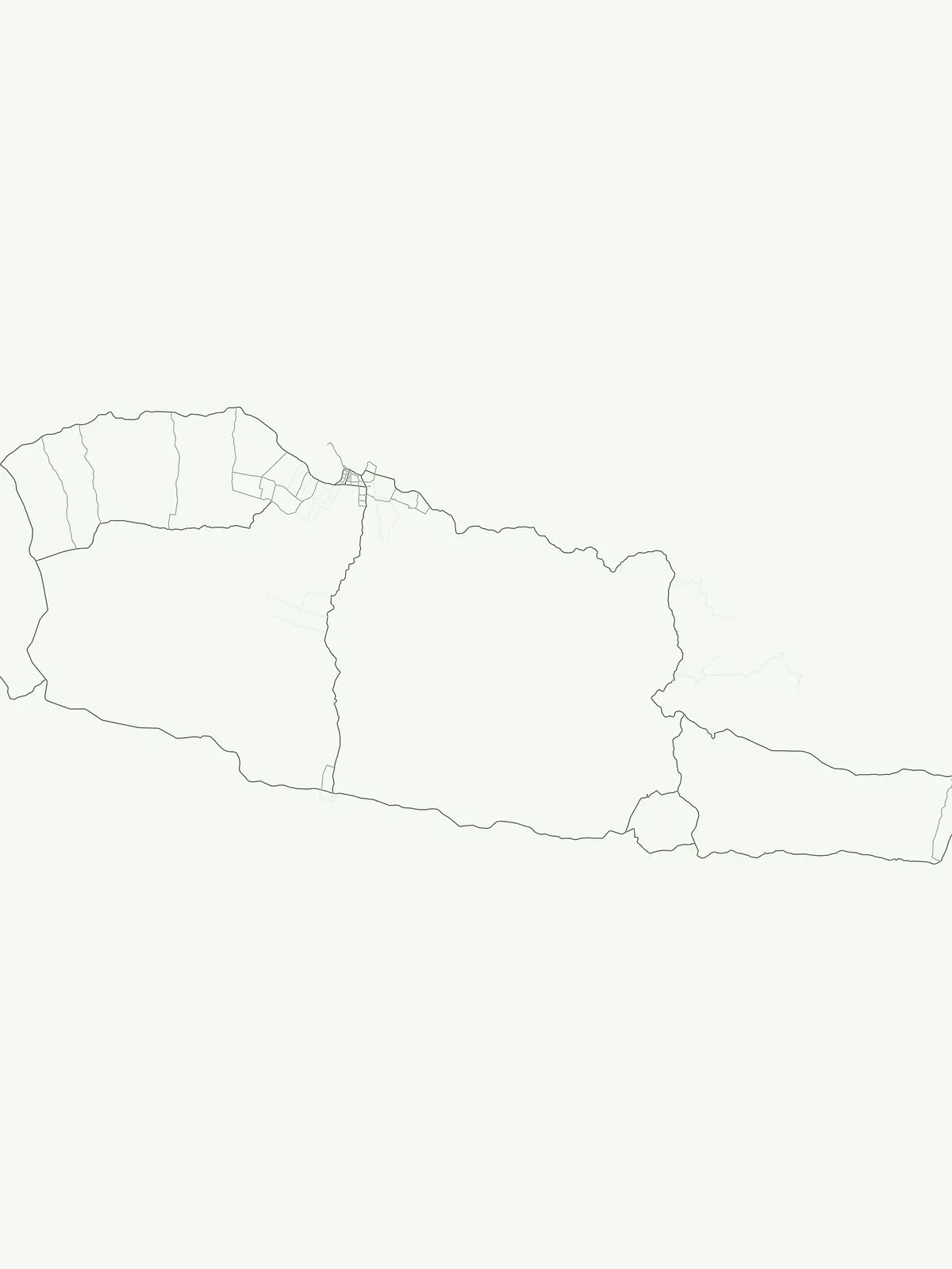
Visualize the geographic spread of Samoa's national parks and protected areas, understanding their placement across the Polynesian landscape.

Samoa National Parks Map: Trace Protected Area Locations Across the Volcanic Island Nation

Explore the mapped locations of Samoa's national parks and designated protected areas, from volcanic landscapes to wetland conservation sites, on this initial geographic overview. Uncover how these conservation zones are distributed across the Pacific island nation, then navigate to the dedicated Samoa parks map for comprehensive, detailed exploration.

Understanding Samoa's Unique Island Park Geography, Conservation Context, and Key Protected Landscapes

Frequently Asked Questions About National Parks and Protected Areas in Samoa

Discover essential information about the national parks and protected areas across Samoa, covering their geographic locations, conservation status, and unique island ecosystems. Explore common inquiries regarding Samoa's volcanic landscapes, tropical forests, and coastal protected sites to enhance your understanding of the country's natural heritage.
Other countries

Compare island geographies and explore conservation landscapes across the broader Pacific atlas.

Discover National Parks and Protected Areas in Countries Beyond Samoa

Explore national parks and protected areas in countries geographically linked to Samoa, expanding your understanding of Oceania's diverse island landscapes. Use the MoriAtlas country index to compare conservation efforts and map unique protected-area spreads across the broader Pacific region.

Australia: parks and protected areas

Parks and protected areas in Australia, including Uluru-Kata Tjuta and Uluru.

998 parks

Marshall Islands: parks and protected areas

Parks and protected areas in Marshall Islands, including Majuro and Kwajalein.

13 parks

Papua New Guinea: parks and protected areas

Parks and protected areas in Papua New Guinea, including Wilhelm and Lake Kutubu.

9 parks

Federated States of Micronesia: parks and protected areas

Parks and protected areas in Federated States of Micronesia, including Kuop Atoll and Utwe-Walung.

4 parks

Timor-Leste: parks and protected areas

Parks and protected areas in Timor-Leste, including Nino Konis Santana National Park.

1 park

Protected area types

Continue Exploring Samoa's Protected Area Classification and Geographic Context

Deepen your understanding of Samoa's protected landscapes by investigating its designation framework. Examining how park types are classified reveals crucial details about conservation priorities and the geographic distribution of protected areas across the island nation. Use this route to access specific classification data and further your atlas-based discovery of Samoa's natural heritage.

Samoa Protected Area Designations
MoriAtlas Explorer

National parks and protected areas worldwide

Find a park and explore its geography, habitats, and monthly climate.

Global natural geography