Mori Atlas logo
National parkDeep Creek National Park

Discover the rugged terrain and sweeping views of this key protected area on the Fleurieu Peninsula.

Deep Creek National Park: South Australia's Coastal Protected Landscape and Geography

Deep Creek National Park represents a vital protected coastal wilderness in South Australia, safeguarding the largest remaining tract of natural vegetation on the Fleurieu Peninsula. This national park preserves 18 kilometers of dramatic shoreline with unparalleled views across Backstairs Passage toward Kangaroo Island. Explore its rolling coastal hills and gullies, a unique landscape offering profound geographic context and a clear glimpse into Australia's southern protected coast.

coastal national parkFleurieu PeninsulaHeysen TrailAustralian native wildlifekangaroo habitatbirdwatching

Deep Creek National Park

National park

Park overview

Structured park overview, official facts, and landscape profile for Deep Creek National Park

Deep Creek National Park park facts, protected area profile, and essential visitor context

Review the core facts for Deep Creek National Park, including designation, size, terrain, visitor scale, habitats, and operating context in one park-focused overview.

About Deep Creek National Park

Deep Creek National Park occupies a significant position in South Australia's protected area network as the largest remaining natural vegetation block on the Fleurieu Peninsula. The park's coastal location on the southern edge of the mainland, facing toward Kangaroo Island across Backstairs Passage, creates a distinctive landscape of rolling hills descending to rocky shoreline and sheltered beaches. The park's conservation significance stems from its role as a refuge for native vegetation communities that have been largely cleared from surrounding farmland. The terrain features a complex topography of ridges and gullies, with the gullies supporting moisture-loving plants such as orchids and ferns, while exposed hilltops bear the marks of strong coastal winds through stunted, windswept scrub. Five camping areas provide visitors with access to this landscape, including Stringybark with its sheltered forest setting, Trig positioned centrally near hiking trails, Tapanappa with its coastal views, Cobler Hill near Blowhole Beach, and the hike-only Eagle Waterhole site along the Heysen Trail.

Quick facts and research context for Deep Creek National Park

The park was established on 30 September 1971 and was redesignated from Deep Creek Conservation Park to Deep Creek National Park in November 2021, reflecting its enhanced protected status. It spans 44.96 square kilometres and contains approximately 18 kilometres of coastline along the southern Fleurieu Peninsula. The terrain consists of rolling coastal hills with gullies supporting orchids and ferns, while hilltops feature stunted scrub and wind-shaped trees. The Heysen Trail traverses the park, providing hikers access to most of the protected area. The park receives approximately 25,000 to 30,000 visitors annually and is managed by South Australia's Department for Environment and Water.

Protection and recognition

Tracing terrestrial protection boundaries and official establishment history within the regional system

Documented Protection Status and Conservation Designations of Deep Creek National Park

Deep Creek National Park maintains a designated terrestrial protection status established in 2021 to safeguard the local regional environment. Geographic discovery tools compile official framework details, helping conservation researchers verify administrative boundaries and legal designations.

Protection details

Protection scope
Terrestrial
Designated year
2021
Transboundary protection
No
Park context

Deeper park guide and search-rich context for Deep Creek National Park

Deep Creek National Park history, landscape, wildlife, and travel context

Explore Deep Creek National Park through its history, landscape character, ecosystems, wildlife, conservation priorities, cultural context, and seasonal travel timing in a structured park guide built for atlas discovery and search intent.

Why Deep Creek National Park stands out

Deep Creek National Park is best known for its rugged coastal scenery and the spectacular views across Backstairs Passage to Kangaroo Island. The park protects the largest remaining tract of natural vegetation on the Fleurieu Peninsula, preserving what is essentially the last significant wilderness corridor in this heavily modified region. The Heysen Trail, one of Australia's most famous long-distance hiking routes, passes through the park, attracting walkers seeking to experience the coastal hills and forest environments. The park also supports substantial wildlife populations including western grey kangaroos, short-beaked echidnas, and approximately 100 bird species, making it an important habitat for native Australian fauna.

Deep Creek National Park history and protected-area timeline

The park was originally established as Deep Creek Conservation Park on 30 September 1971, designation reflecting its role in preserving coastal vegetation and wildlife habitat on the Fleurieu Peninsula. For fifty years, the area functioned under conservation park status before being elevated to national park designation. On 26 November 2021, the protected area was officially proclaimed Deep Creek National Park, marking a significant upgrade in its protection status and recognition of its ecological value. In 1980, the park was listed on the Register of the National Estate, providing additional heritage recognition of its significance. The transition to national park status in 2021 reflected accumulated understanding of the park's ecological importance and its role as the largest remaining natural vegetation area on the peninsula.

Deep Creek National Park landscape and geographic character

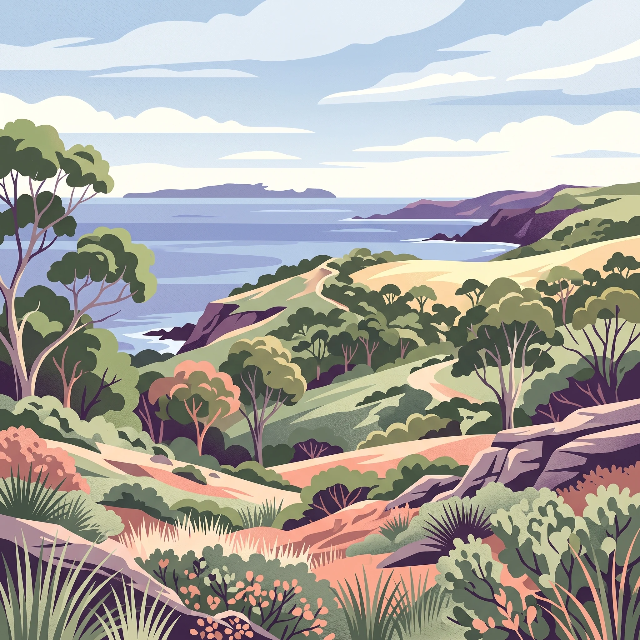
The park comprises rolling coastal hills that form the southern backdrop of the Fleurieu Peninsula, descending sharply to meet the Southern Ocean along 18 kilometres of coastline. The terrain is characterized by ridges and gullies, with the gullies deeper valleys supporting moisture-retentive environments where orchids and ferns thrive. The hilltops and ridgelines present a more exposed character, marked by stunted scrub vegetation shaped by persistent coastal winds. The coastline itself offers a variety of features including rocky headlands, sheltered coves, and beaches such as Blowhole Beach. From elevated points within the park, visitors can see across Backstairs Passage to the silhouette of Kangaroo Island on the horizon, creating a sense of connection to the larger coastal ecosystem of southern South Australia.

Deep Creek National Park ecosystems, habitats, and plant life

The park preserves the most significant remaining area of native vegetation on the Fleurieu Peninsula, representing what is essentially the last substantial wilderness corridor in a region otherwise heavily modified by agriculture and development. This preservation makes the park ecologically important far beyond its 44.96 square kilometre extent, as it protects vegetation communities that have been largely eliminated from surrounding landscapes. The diversity of habitats within the park, from sheltered gullies to exposed hilltops, supports varied plant communities including orchid species in the shaded valleys and the distinctive wind-shaped vegetation of the ridges. The park's coastal position creates an interface between terrestrial and marine environments, adding to its ecological complexity.

Deep Creek National Park wildlife and species highlights

Deep Creek National Park supports a rich diversity of native wildlife, with the park serving as an important refuge for species in a region where much of the original habitat has been cleared. Mammal residents include western grey kangaroos, which are commonly seen grazing in open areas, and short-beaked echidnas, the distinctive spiny monotreme that forages through leaf litter and soils. The birdlife is particularly notable, with around 100 species recorded within the park. This avifauna includes both resident species and migratory visitors, reflecting the park's position along the southern coast as a potential corridor for coastal bird movements. The combination of forest, scrub, and coastal habitats within the park creates diverse foraging and nesting opportunities for birds.

Deep Creek National Park conservation status and protection priorities

The park's significance within South Australia's conservation network derives from its role as the largest remaining block of natural vegetation on the Fleurieu Peninsula, a region that has experienced extensive land clearing for agriculture and settlement. This makes the park a critical refuge for native species that have lost habitat elsewhere on the peninsula. The elevation from Conservation Park to National Park status in 2021 reflects the accumulated understanding of the park's ecological value and the need for enhanced protection. The park was listed on the Register of the National Estate in 1980, providing heritage recognition of its natural values. Its coastal location and the presence of the Heysen Trail also create opportunities for environmental education and connection to nature for visitors.

Top sights and standout views in Deep Creek National Park

The spectacular coastal views across Backstairs Passage to Kangaroo Island represent one of the park's most distinctive features, visible from numerous points along the coastline and from elevated trail sections. The passing of the Heysen Trail through the park provides walkers with access to most of the protected area along one of Australia's premier long-distance hiking routes. The five camping areas offer varied experiences, from the sheltered forest setting of Stringybark to the coastal outlook of Tapanappa and the hike-only solitude of Eagle Waterhole. The wildlife viewing opportunities, particularly the chance to see kangaroos and echidnas in their natural habitat, add to the park's appeal for visitors interested in Australian native fauna.

Best time to visit Deep Creek National Park

The park can be visited year-round, though the cooler months from late autumn through winter and into early spring typically offer pleasant conditions for hiking and camping. During summer, the park can experience hot conditions typical of South Australia's Mediterranean climate, making early morning or evening activities more comfortable. The spring months often bring wildflower displays in the park's gullies, including orchid species that bloom during this season. The park's proximity to Cape Jervis, the gateway to Kangaroo Island, makes it easily combined with ferry travel to the island for visitors exploring the broader region. The camping areas operate throughout the year, though visitors should check current conditions and any fire restrictions before planning trips during the warmer months.

Park guides

Targeted coastal terrain analyses and seasonal timing references

Deep Creek National Park Focused Guides and Visitor Timing Insights

Targeted park guides provide focused reference material for understanding specific landscape features across the protected southern coastline. Published reference themes examine optimal visitation timing and seasonal climate factors for coastal trail navigation.
Monthly climate preview

Historical weather by month baselines and precipitation trends in South Australia

Deep Creek National Park Average Temperature and Monthly Climate Profile

Measured climate observations for Deep Creek National Park reveal a distinct yearly cycle, featuring warmer, drier patterns in Months 1 and 2 contrasted by cooler, wetter conditions in Months 6 and 7. Exploring the full twelve month database provides an exhaustive breakdown of historical averages, enabling precise comparison of temperature variations and daily precipitation trends.
Annual mean16 °C
13 °C20 °C
Jan20°
Feb20°
Mar19°
Apr17°
May15°
Jun14°
Jul13°
Aug13°
Sep13°
Oct15°
Nov17°
Dec18°
Warmest month
February

19.9 °C

Coolest month
August

12.6 °C

Wettest month
June

2.4 mm/day

Driest month
January

0.6 mm/day

Park location guide

Geography guide, regional context, and park location map for Deep Creek National Park

Deep Creek National Park park geography, regions, and map view in Australia

Understand where Deep Creek National Park sits in Australia through a broader geographic reading of the surrounding landscape, nearby location context, and its mapped position within the national park landscape.

How Deep Creek National Park fits into Australia

Australia is a constitutional monarchy and federal parliamentary democracy comprising six states and ten territories. With a population of nearly 28 million, it is one of the world's most urbanised countries, with most people concentrated on the eastern seaboard. The country has a high Human Development Index and is known for its cultural diversity, ancient Aboriginal heritage, and unique wildlife.

Wider geography shaping Deep Creek National Park in Australia

Australia occupies the entire Australian continent, the island of Tasmania, and numerous smaller islands. It is the world's flattest and driest inhabited continent, featuring vast deserts in the interior (the Outback), tropical rainforests along the eastern coast, and a coastline bordering the Indian and Pacific Oceans.

Map view of Deep Creek National Park

Use this park location map to pinpoint Deep Creek National Park in Australia, understand its exact geographic position, and read its mapped placement within the surrounding landscape more clearly.

Pigeon | © OpenStreetMap contributors

Location context for Deep Creek National Park

South Australia
Park atlas

Compare the diverse protected landscapes and regional park geography connected to Deep Creek National Park.

Explore More National Parks Near Deep Creek National Park on the Fleurieu Peninsula

Extend your exploration from Deep Creek National Park by browsing other protected areas, mapping their geographic spread across the Fleurieu Peninsula and surrounding coastal regions. Compare diverse conservation landscapes, understand regional contexts, and identify similar or complementary park experiences within South Australia's extensive network of natural reserves.
Wildlife reserveSouth Australia
About 10 km away#1 closest

East

Eric Bonython Conservation Park: Protected Wildlife Reserve on the Fleurieu Peninsula

Mapping native forest landscapes in South Australia

Eric Bonython Conservation Park represents a significant protected area within South Australia. Covering a compact footprint on the Fleurieu Peninsula, this wildlife reserve preserves a mature messmate stringybark forest and rare native flora, functioning as a vital reference site for original regional ecology.

Area
0.06 km²
Established
1960
IUCN
Ia
Relief
Upland
Nature reserveSouth Australia
About 25 km away#2 closest

South

Cape Willoughby Conservation Park: Coastal Reserve and Lighthouse Heritage Atlas

Protected maritime landscape on Kangaroo Island

Cape Willoughby Conservation Park sits on the eastern tip of the Dudley Peninsula in South Australia. The reserve protects a unique maritime environment where windswept coastal vegetation meets the historic Cape Willoughby Lighthouse complex. The mapped terrain focuses on the cliff top headland profile and the convergence of ocean scenery with preserved built heritage, offering a distinct example of coastal conservation land.

Area
0.18 km²
Established
1971
Relief
Lowland
Climate
Mediterranean
Nature reserveSouth Australia
About 33 km away#3 closest

Southwest

Dudley Conservation Park: Geography and Protected Habitat in South Australia

Nature reserve on Kangaroo Island with unique mallee woodland ecosystems.

Dudley Conservation Park represents a key protected area on the eastern edge of Kangaroo Island. This reserve is managed for its scientific importance, safeguarding specialized mallee scrub habitat and varied geological features including rocky limestone ridges and sandy coastal-influenced terrain.

Area
17.68 km²
Established
1970
IUCN
Ia
Relief
Upland
Nature reserveSouth Australia
About 35 km away#4 closest

Northeast

Gum Tree Gully Conservation Park: Protected Habitat and Landscape Geography

Nature reserve within the southern Mount Lofty Ranges

This nature reserve in South Australia protects a specific gully system within the Hindmarsh Tiers. Established as a focal point for the recovery of the endangered southern emu-wren, the park preserves a remnant bushland pocket that is vital for regional biodiversity conservation and landscape mapping.

Area
1.11 km²
Established
2010
IUCN
III
Climate
Mediterranean
Nature reserveSouth Australia
About 53 km away#5 closest

West

Busby Islet Conservation Park: Coastal Protected Area and Nature Reserve Mapping

Geography of a crucial seabird sanctuary in Nepean Bay

Busby Islet Conservation Park is a protected island reserve in South Australia known for its role as a breeding ground for Australian pelicans, cormorants, and various shorebird species. As a strict nature reserve, this low-lying rocky outcrop stands as a vital migratory wader roost along the north coast of Kangaroo Island, preserving essential coastal habitats through its long-standing protected status.

Area
0.17 km²
Established
1967
IUCN
Ia
Relief
Lowland
Nature reserveSouth Australia
About 54 km away#6 closest

Northeast

Finniss Conservation Park Mapping and Geographic Profile in South Australia

Exploring protected scrub and river valley landscapes

Finniss Conservation Park features a compact but topographically diverse landscape characterized by rocky outcrops, ridge systems, and dense forest associations. Located in the South Mount Lofty Ranges, this nature reserve serves as an important ecological reference point for the region. Use this geographic entry to examine the park boundaries and its position along the Heysen Trail corridor.

Area
1.23 km²
Established
1976
IUCN
III
Relief
Mountain
National parkSouth Australia
About 54 km away#7 closest

East

Coorong National Park: South Australia National Park Mapped Boundaries and Landscape Context

Explore its unique protected landscape and regional geography.

Coorong National Park in South Australia is featured here as a key protected area for geographic discovery. Users can explore the park's specific landscape characteristics, mapped boundaries, and its role within the regional geography of South Australia. This detail page supports an atlas-based understanding of protected lands, offering a focused perspective on the park's natural terrain and conservation significance within Australia.

Area
490.15 km²
Established
1967
IUCN
II
Relief
Lowland
Nature reserveSouth Australia
About 54 km away#8 closest

Northeast

Cox Scrub Conservation Park: Protected Sandy Heaths and Eucalyptus Forests in South Australia

A rare, minimally disturbed nature reserve in the Mount Lofty Ranges

Cox Scrub Conservation Park functions as a significant botanical reference point, preserving an unusual habitat of low open forest and heathland on nutrient-poor sandy soils. This South Australian nature reserve offers an intact look at the transition zone between ranges and coastal plains, supporting diverse bird species within its protected borders.

Area
5.44 km²
Established
1970
IUCN
III
Relief
Upland

Common questions about visiting, size, designation, and location context for Deep Creek National Park

Deep Creek National Park FAQs for park facts, access, geography, and protected area context

Find quick answers about Deep Creek National Park, including protected-area facts, park geography, trail and visitor context, and how the park fits into its surrounding country and regional landscape.
MoriAtlas Explorer

Continue Your Protected Areas Search Across the Global Atlas

Deepen your exploration by continuing the structured search for national parks and protected areas worldwide. Utilize the comprehensive filtering capabilities to compare different conservation landscapes and refine your understanding of global park geography. Discover more about the distribution and characteristics of protected natural areas.

Global natural geography