
Why Donau zwischen Munderkingen und Riedlingen stands out
The site is distinguished by its concentration of Danube valley habitats within a compact stretch of the upper Danube in Baden-Württemberg. Gallery floodplain forests of alder, ash, and willow along the river and its abandoned meanders are complemented by calcareous grasslands, pioneer rock communities, tufa springs, and limestone scree slopes. A particularly notable feature is the contrast between the wet, dynamic riverine habitats of the Danube floodplain and the dry, species-rich limestone habitats of the surrounding Swabian Alb slopes. This juxtaposition supports rare and protected species such as the European beaver, green besom moss, and the Green River Dragonfly (Ophigomphus cecilia), alongside orchid-rich calcareous grasslands on the valley sides. The protected area is also notable within the Baden-Württemberg Natura 2000 network for incorporating several distinct nature reserves into a single multi-part FFH site, including the Flusslandschaft Donauwiesen areas and the Braunsel valley, giving it both ecological and administrative significance.
Donau zwischen Munderkingen und Riedlingen history and protected-area timeline
The protection history of Donau zwischen Munderkingen und Riedlingen begins with an initial proposal from the Regierungspräsidium Tübingen in 2005, when the area was put forward as a candidate for inclusion in the European Natura 2000 network of protected sites. The site then progressed through the standard designation process under the EU Habitats Directive.
Formal legal protection came through a regulation of the Regierungspräsidium Tübingen issued on 5 November 2018, which officially designated the FFH site. This regulation entered into force on 11 January 2019, establishing the current boundaries, habitat protection objectives, and species protection commitments that define the site today.
Alongside this designation, the site was integrated with several pre-existing nature reserves that lie within its boundaries, including Flusslandschaft Donauwiesen, Lange Grube, Ehebach, Flusslandschaft Donauwiesen zwischen Zwiefaltendorf und Munderkingen, and Braunsel. This consolidation reflects a broader European effort to coordinate national and EU-level protection frameworks along major river corridors such as the Danube.
Donau zwischen Munderkingen und Riedlingen landscape and geographic character
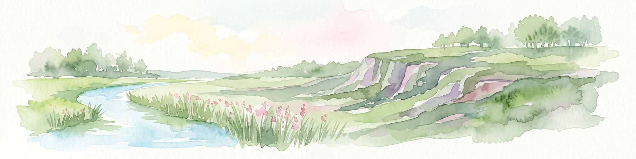
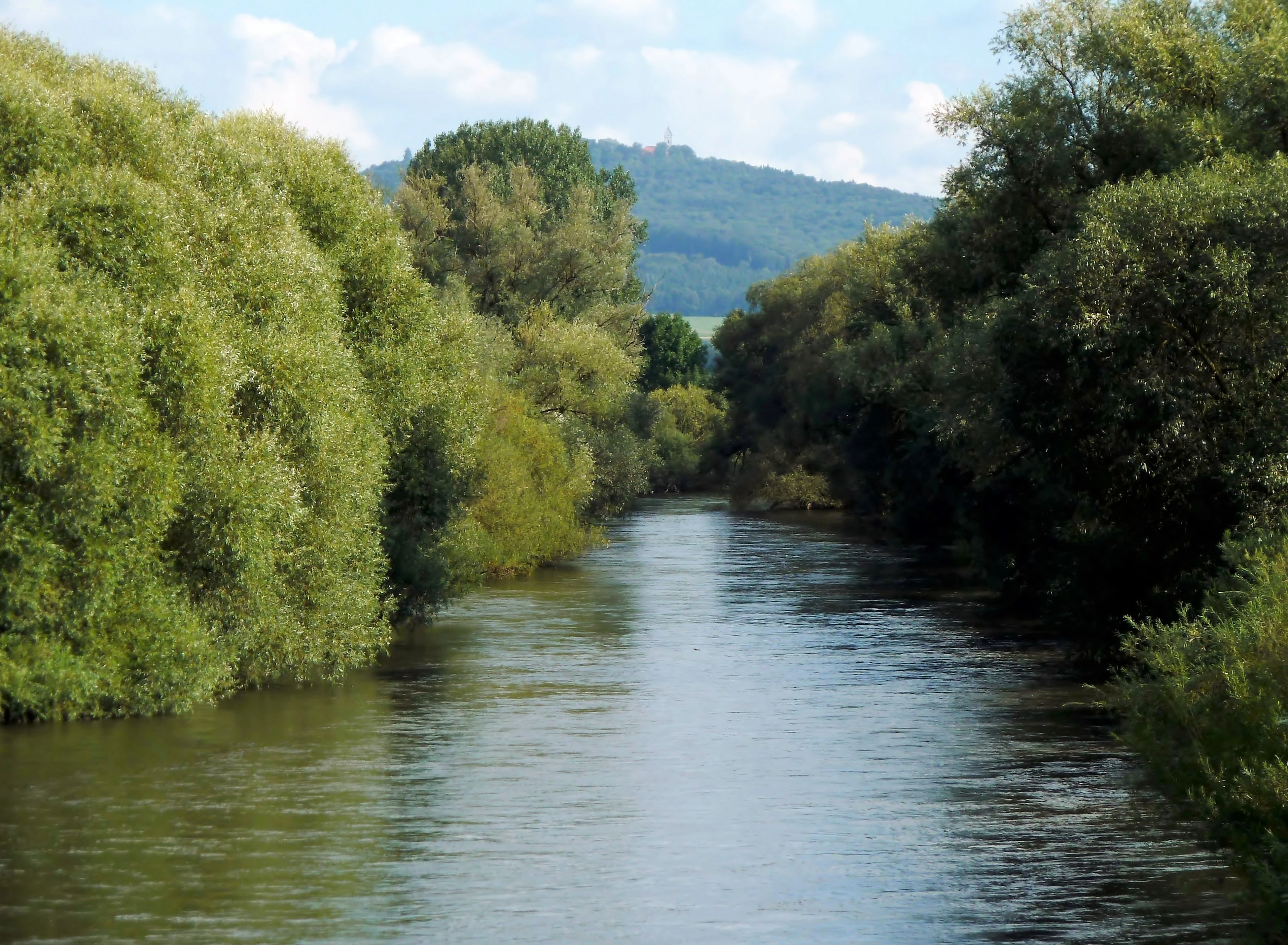
The landscape of Donau zwischen Munderkingen und Riedlingen is dominated by the upper Danube as it cuts through the limestone uplands of the eastern Swabian Alb. The river has carved a relatively narrow valley through the plateau, producing steep slopes that drop down to the floodplain, where the river itself weaves between active channels and older meander arms. The valley sides are marked by frequent rock outcrops and former quarries, while scree slopes and rocky grasslands occupy the thinner soils higher up.
Above this immediate Danube corridor, the terrain transitions into the more open landscapes of the Donau-Ablach-Platten, the Hügelland der unteren Riß, and the Mittlere Flächenalb. These rolling plateaus are comparatively low-relief and are used predominantly for agriculture, with pastures and meadows more common than woodland. The combination of the deeply incised Danube valley with the surrounding agricultural plateau gives the area a sharply defined landscape structure, where natural and semi-natural habitats are concentrated along the river and its slopes.
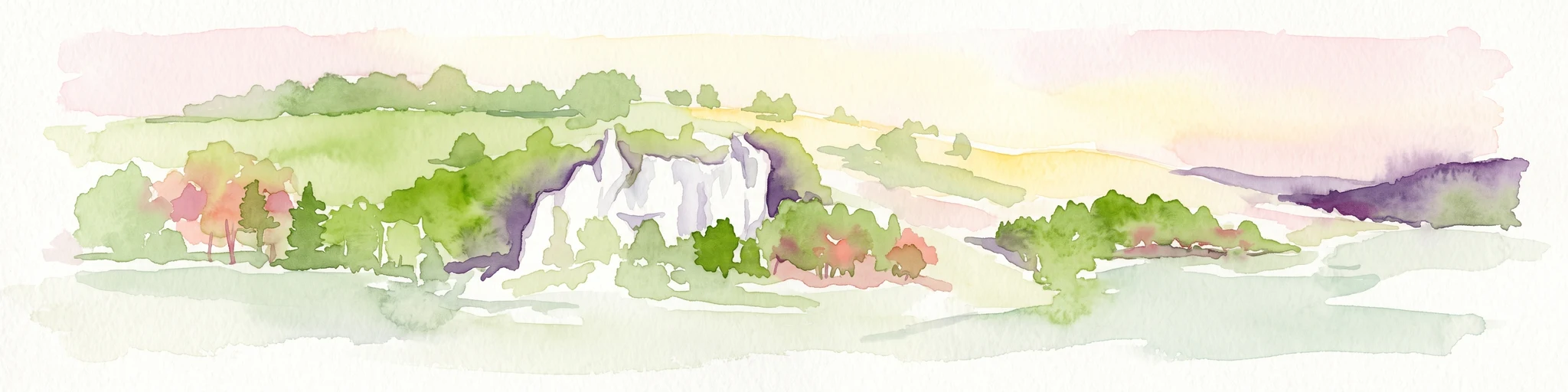
A distinctive physical feature of the site is the presence of tufa-forming springs (Kalktuffquellen) on the valley sides, where calcareous groundwater emerges at the surface and deposits mineral crusts over vegetation. Combined with small caves and rock shelters, scree fields, and exposed limestone cliffs, these features give the protected area a geomorphologically diverse character within a relatively compact zone.
Donau zwischen Munderkingen und Riedlingen ecosystems, habitats, and plant life
The ecological profile of Donau zwischen Munderkingen und Riedlingen reflects the strong ecological contrast between a dynamic river system and a dry limestone upland. Along the Danube itself, the site protects a cluster of aquatic and wetland habitats: naturally eutrophic standing waters with pondweed and frogbit vegetation, flowing stretches with submerged water-crowfoot communities, and muddy riverbanks colonized by rare pioneer plants. These wet elements are tightly linked to the floodplain, where the river has left behind old arms and shallow depressions that now support marshy vegetation.
On the slopes, the ecological character shifts to dry calcareous systems. Lichen- and moss-covered limestone cliffs, open pioneer grasslands on shallow skeletal soils, and orchid-rich semi-natural dry grasslands are among the most distinctive habitat types. Pockets of tufa-forming springs add a rare geological-biological habitat, while beech-dominated forests, including woodruff-type beechwoods and richer mixed slope forests, occupy more stable slope positions.
The site's habitat type list under the EU Habitats Directive is unusually broad for an area of its size. It includes still waters (3150), flowing waters (3260), muddy riverbanks with Chenopodion-Bidention vegetation (3270), pioneer calcareous grasslands (6110), orchid-rich calcareous grasslands (6210), tall-herb communities (6430), lowland hay meadows (6510), tufa springs (7220), limestone scree (8160), limestone cliff vegetation (8210), non-tourist caves (8310), woodruff beechwoods (9130), mixed slope forests (9180), and hardwood floodplain forests (91E0). Steppe pine forests (91U0) also occur, contributing to the unusual habitat diversity of the area.
Donau zwischen Munderkingen und Riedlingen wildlife and species highlights
Wildlife protection in Donau zwischen Munderkingen und Riedlingen spans aquatic, amphibious, and terrestrial species, reflecting the site's mix of riverine, wetland, and dry-habitat environments. Among mammals, the European beaver (Castor fiber) is one of the most recognized species, using the Danube and its still-water arms as habitat. Bats are also represented by protected species such as the western barbastelle (Barbastella barbastellus) and the greater mouse-eared bat (Myotis myotis).
In the river itself, fish and lampreys form an important part of the species inventory, including the brook lamprey (Lampetra planeri), the bitterling (Rhodeus sericeus), the streber (Zingel streber), and the bullhead (Cottus gobio). These freshwater species depend on the structural diversity of the riverbed and on connections between the main channel and oxbow or backwater areas. The crayfish species Austropotamobius torrentium, the stone crayfish, is also associated with the site's clean streams.
Amphibians and reptiles of conservation interest include the northern crested newt (Triturus cristatus) and the yellow-bellied toad (Bombina variegata), both of which depend on a combination of breeding pools and surrounding terrestrial habitats. Among invertebrates, the Green River Dragonfly (Ophigomphus cecilia) is one of the site's signature species, while the moss Dicranum viride (Grünes Besenmoos) represents a less conspicuous but ecologically significant component of the protected species.
Donau zwischen Munderkingen und Riedlingen conservation status and protection priorities
The conservation significance of Donau zwischen Munderkingen und Riedlingen lies in its combined protection of a major European river corridor and the adjacent limestone upland habitats along the upper Danube. As an FFH site within the Natura 2000 network, it contributes to the European Union's effort to maintain viable populations of habitats and species listed under the EU Habitats Directive across biogeographic regions.
The site protects a diverse set of priority and non-priority habitat types. Priority habitats within the area include orchid-rich calcareous grasslands (6210), calcareous pioneer grasslands (6110), limestone scree slopes (8160), mixed slope forests (9180), and hardwood floodplain forests with alder, ash, and willow (91E0). The presence of these priority types gives the area a heightened conservation weight within the national Natura 2000 portfolio of Baden-Württemberg.
At the regional scale, the protected area plays an important role in buffering the upper Danube against habitat fragmentation. It connects or complements adjacent FFH areas in the Alb-Donau-Kreis and Landkreis Biberach, including Donau zwischen Munderkingen und Ulm und nördliche Iller upstream and Donau zwischen Riedlingen und Sigmaringen downstream. By integrating several pre-existing nature reserves under a single designation, the site also reflects a coordinated approach to managing floodplain, slope, and plateau habitats as a coherent landscape unit.
Donau zwischen Munderkingen und Riedlingen cultural meaning and human context
The upper Danube between Munderkingen and Riedlingen has long been shaped by human activity, and cultural relationships to the landscape remain visible in the protected area's structure. The valley supports a number of historic towns and villages, including Munderkingen, Obermarchtal with its former monastery, Untermarchtal with its Augustinian convent, Rechtenstein, and Riedlingen, all of which are tightly linked to the river and the agricultural plateau above it.
Traditional land use is still influential in the area. Grassland farming dominates the surrounding plateaus, and this historic human management has helped maintain the open, species-rich character of meadows and calcareous grasslands, many of which depend on continued low-intensity use. Old quarries on the valley sides reflect historical exploitation of the limestone bedrock and now serve as habitats for rock-dwelling species.
The site also holds cultural value through its integration of named nature reserves such as Flusslandschaft Donauwiesen and the Braunsel, which reflect long-standing regional recognition of the Danube valley as a landscape of particular natural and cultural interest within Baden-Württemberg.
Top sights and standout views in Donau zwischen Munderkingen und Riedlingen
The strongest points of the Donau zwischen Munderkingen und Riedlingen protected area are its very high habitat diversity within a compact Danube valley stretch, the simultaneous presence of wet floodplain forests and dry orchid-rich limestone grasslands, and its role as a refuge for protected species ranging from the European beaver to the Green River Dragonfly.
A second defining quality is its integration of multiple nature reserves, including Flusslandschaft Donauwiesen, Lange Grube, Ehebach, Flusslandschaft Donauwiesen zwischen Zwiefaltendorf und Munderkingen, and the Braunsel valley, into a single coherent Natura 2000 site. This makes it a notable example of coordinated floodplain and slope conservation along the upper Danube.
Finally, the site's historical layer, shaped by centuries of grassland management, monastic communities along the river, and old limestone quarrying, adds a cultural dimension that complements its ecological importance and helps frame it as a landscape where natural and human history are closely intertwined.
Best time to visit Donau zwischen Munderkingen und Riedlingen
Seasonal character along the upper Danube between Munderkingen and Riedlingen is shaped largely by the agricultural calendar and the rhythm of the river. Spring and early summer bring the strongest display of meadow flowers and orchids on the calcareous slopes and dry grasslands, when warmer weather activates insect activity along the riverbanks and adjacent meadows.
Late spring and early summer tend to be the most rewarding period for observing dragonflies, butterflies, and bat emergence near the floodplain, while the water level of the Danube itself remains comparatively moderate outside of late winter and early spring melt periods. Late summer offers warmer, drier conditions that make walking along valley paths and viewing exposed rock habitats easier.
Winter brings quieter landscapes with less agricultural activity, when the valley is less disturbed and the open plateaus and forested slopes take on a more austere character. Visitors interested primarily in flowering plants and warmer-weather wildlife activity will generally find late spring through summer the most attractive, while those interested in floodplain structure and quieter walking conditions may favor late autumn and winter, subject to weather and access conditions.