
Mapping the hydrological systems, savanna marshes, and diverse riverine woodland territories
Geographic Survey of Named Natural Features and Landscapes in Chobe National Park
This geographic collection inventories the diverse natural landforms and water systems associated with Chobe National Park in Botswana. From the expansive savanna of the Savuti Marsh to the perennial Chobe River floodplains and remote Linyanti wetlands, explore the distinct landscape elements that define this protected area. Understand the spatial distribution of these features and how they create the varied terrain and habitats found across the regional environment.
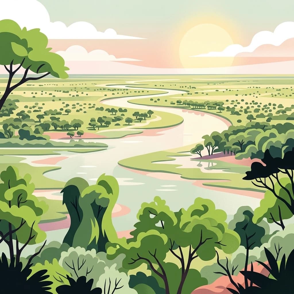
Read Chobe National Park through river, wetland, woodland, and hills
River, wetland, and woodland landmarks associated with Chobe National Park
Geographic data on river-bound landforms in Botswana.
Islands
Review the geographic data for named islands identified within Chobe National Park. This resource details the spatial arrangement of discrete landforms occurring within the park major water channels, offering insight into the hydrological and sediment-based landscape patterns found across this northern Botswana protected area.
Chobe National Park
Explore the map, landscapes, and protection details for Chobe National Park.