

Why Juraschutzzone stands out
The zone is best known for being one of Switzerland's earliest spatial planning measures, applying landscape-scale protection rules across a large portion of the Solothurn Jura rather than concentrating on a single reserve. Its defining contribution is the legal requirement that new buildings fit harmoniously into the existing townscape and landscape, preventing visually disruptive development in forested and agricultural countryside.
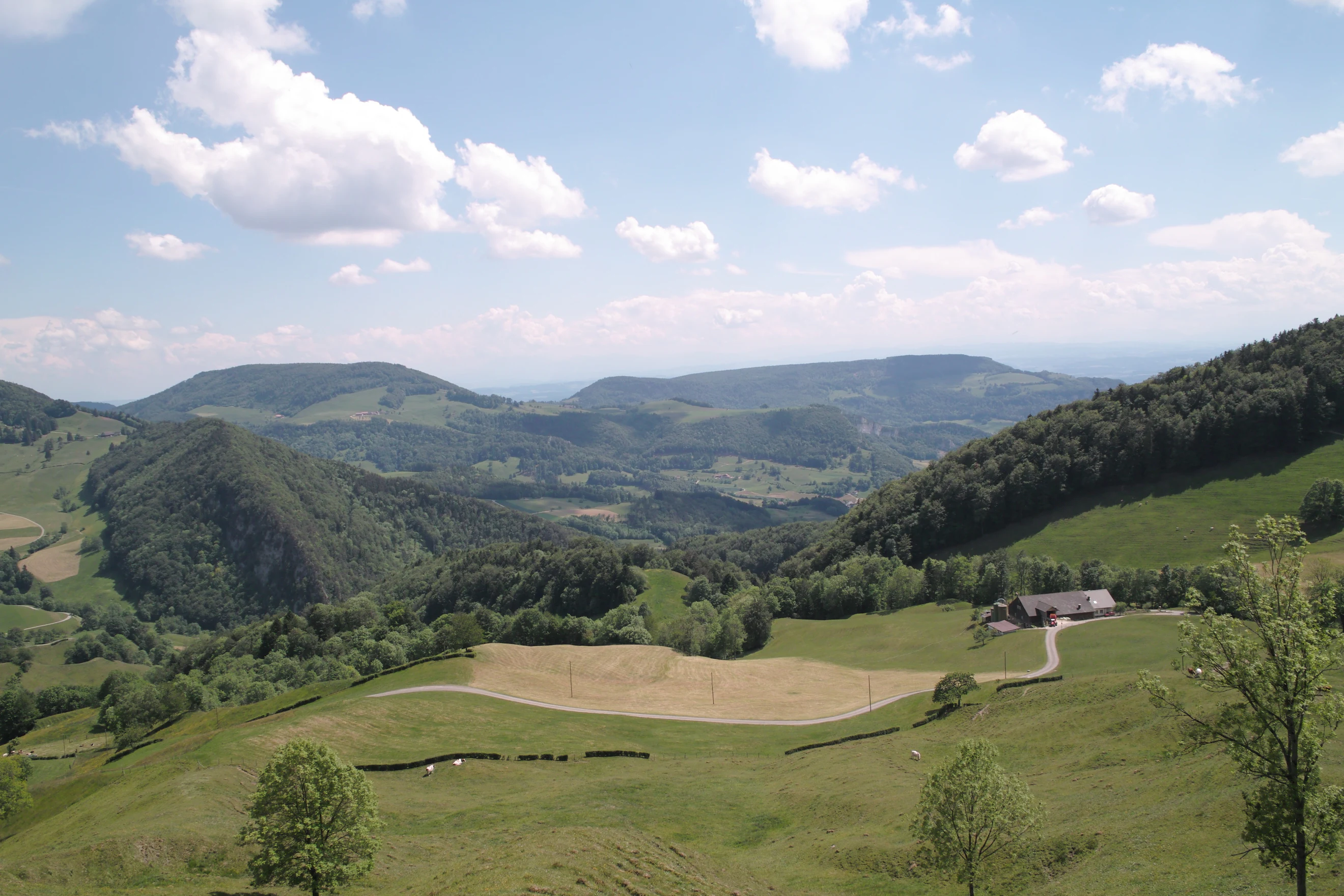
Juraschutzzone history and protected-area timeline
The Juraschutzzone was created in 1942 by a decree of the Cantonal Government of Solothurn. Its stated purpose at the time was to protect the Jura against construction that would visually disfigure the landscape. Coming decades before modern Swiss federal landscape and planning frameworks, it is regarded as one of the earliest spatial planning instruments in Switzerland.
Since its establishment, the zone has functioned as an ongoing legal tool for limiting sprawl and visually disruptive development in the forested and agricultural lands of the Solothurn Jura. Its rules, formalized through the canton's nature and heritage protection ordinance, continue to shape planning decisions affecting the cantonal Jura today.
Juraschutzzone landscape and geographic character
The Juraschutzzone follows the natural contours of the Solothurn Jura, covering a substantial share of the canton through a mix of forested ridges, agricultural valleys, and smaller hill ranges. The Solothurner Jura forms the core, with its characteristic folded limestone terrain typical of the wider Swiss Jura range.
In the western part of the affected area, near Olten, the Engelberg and the Born stand out as elevated landmarks rising above the lower Aare valley corridor. To the north, the Bucheggberg adds a further ridgeline area that is recognized in the zone's landscape framework. The inclusion of these components links the higher Jura backbone with the foothills that mark the transition toward the Swiss Mittelland, producing a varied landscape profile within a single protected designation.
Juraschutzzone conservation status and protection priorities
The Juraschutzzone is significant in conservation history because it represents one of Switzerland's earliest large-scale landscape protection efforts. By protecting almost three fifths of the canton's surface, it secures major portions of forest and agricultural land from visually disruptive development, helping preserve the ecological continuity of the Solothurn Jura.
Its conservation logic is firmly aesthetic and landscape-oriented rather than species-focused. The ordinance guides new construction so that buildings integrate with local character and do not impair the townscape or landscape image, supporting long-term landscape integrity in one of the most heavily forested and farmed parts of the Canton of Solothurn.
Juraschutzzone cultural meaning and human context
The Solothurn Jura has long been shaped by a close relationship between agricultural land use, village settlement patterns, and the surrounding forested ridges. The Juraschutzzone reflects a strong regional identity rooted in this relationship, with landscape protection framed around the cultural value of the existing townscape and countryside rather than around strict nature reserve ideals. The canton's early adoption of such an instrument also reflects a broader Swiss tradition of cantonal responsibility for landscape and heritage protection.
Top sights and standout views in Juraschutzzone
Standout features of the Juraschutzzone include its unusually large geographic scope for a single protection designation at the cantonal level, covering roughly 470 square kilometers of the Canton of Solothurn. The Engelberg and Born hills near Olten and the Bucheggberg ridge bring notable topographic diversity into the protected landscape, while the broader Solothurner Jura provides the forested and agricultural backbone.
The zone is also distinctive for its statutory rule that new buildings must integrate visually with their surroundings, a principle that has shaped decades of planning decisions in the region. The presence of the Regional Nature Park Thal within its boundaries further reinforces its role as a framework for landscape-scale quality rather than a single focal protected site.