Why Rapa Nui National Park stands out
Rapa Nui National Park is world-renowned for its monumental moai statues, the massive stone figures carved by the Rapa Nui people that represent ancestral figures believed to bestow spiritual power upon living leaders. The park contains both standing and fallen moai, as well as numerous unfinished statues remaining in the Rano Raraku quarry where they were carved from distinctive yellow-brown volcanic tuff. Beyond the statues, the park protects the volcanic crater lakes of Rano Kau and Rano Raraku, the ceremonial village of Orongo associated with the Birdman cult, and extensive archaeological sites including ahu (stone platforms) distributed along the coastline. The island's extreme isolation and the remarkable creative achievement of transporting hundreds of massive statues across the landscape without wheeled vehicles or animals make this one of humanity's most fascinating cultural landscapes.
Rapa Nui National Park history and protected-area timeline
Rapa Nui National Park was created by the Chilean government in 1935, establishing protection for the island's extraordinary archaeological heritage. Prior to this, the native Rapa Nui people had been confined to a reserve area near the capital Hanga Roa while the remainder of the island was leased to sheep ranchers. The movement for Rapa Nui autonomy began in 1964, and the sheep farming lease was terminated during the 1980s, leading to the entire island being declared a historic park. Between 1972 and 2015, the National Forest Corporation (CONAF) administered the park, with co-management with the Ma'u Henua community in 2016. On December 1, 2017, former President Michelle Bachelet formally returned the park to the indigenous Rapa Nui people, granting administrative control to the Ma'u Henua Polynesian Indigenous Community for 50 renewable years. This transfer marked the first time revenue generated by the park would be invested on the island itself for conservation of both natural and cultural heritage. In October 2022, a significant forest fire caused irreparable damage to wetlands and moai statues within the archaeological site.
Rapa Nui National Park landscape and geographic character
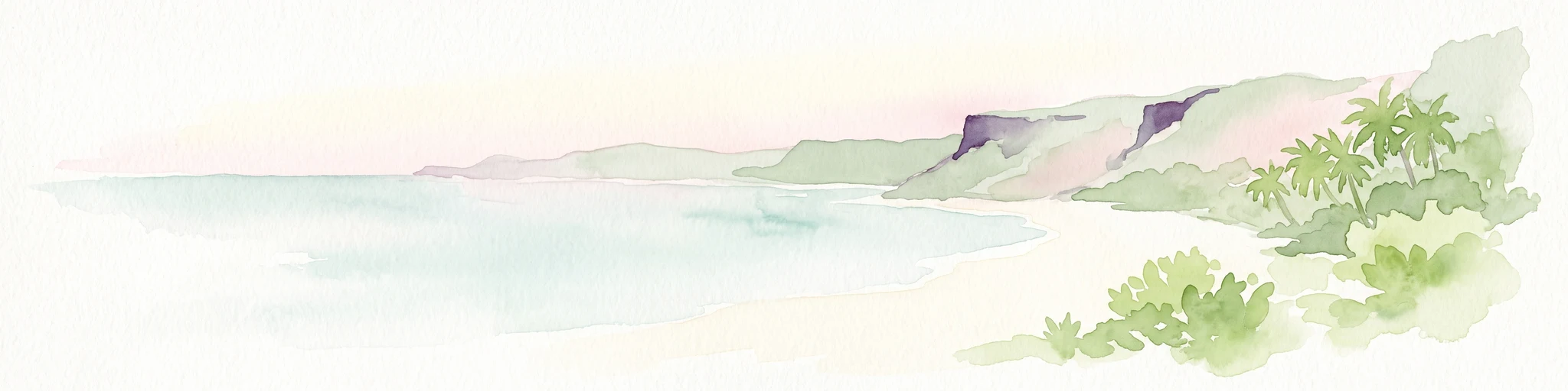
Rapa Nui National Park features a distinctive triangular volcanic landscape shaped by three extinct volcanoes: Terevaka in the northwest, Poike in the northeast, and Rano Kau in the south. The terrain varies from sea level to approximately 300 meters in elevation, with rugged coastlines, volcanic craters, and rolling hills defining the island's topography. The park contains several significant volcanic crater lakes, including Rano Kau with its dramatic inner crater wall and Rano Raraku, the quarry where most moai were carved, which now contains both finished and unfinished statues. The coastline features mixed sandy beaches such as Anakena and rocky shores with cliffs and sea caves. The landscape is largely grass-covered today, though the underlying volcanic rock and crater formations create a stark, beautiful setting for the archaeological monuments. The island's extreme isolation means the park experiences no significant light pollution, and the surrounding Pacific waters are remarkably clear.
Rapa Nui National Park ecosystems, habitats, and plant life
The ecological character of Rapa Nui National Park reflects both the island's extreme isolation and its dramatic ecological transformation over centuries. Before Polynesian settlement around the 4th century, the island supported an extensive forest including the toromiro tree (Sophora toromiro) and the Jubaea palm, the latter used to make devices for transporting the massive moai statues. Carbon dating indicates the Jubaea palm survived until the 17th century before disappearing. Today, the island is almost completely grass-covered with only scattered ornamental trees and shrubs. Of approximately 150 recorded plant species, 45 are endemic, though only three endemic grass species dominate the landscape. Ferns remain well-represented with four endemic species among the 15 recorded. The island's fauna is limited due to its isolation, with only rodents and carnivores as native mammals, while marine turtles visit the coastal waters and two terrestrial lizard species persist. Four bird species, including the frigatebird, red-tailed tropicbird, and Kermadec petrel, visit the island.
Rapa Nui National Park wildlife and species highlights
Wildlife in Rapa Nui National Park is limited by the island's extreme isolation in the southeastern Pacific. The island's only native mammals are rodents and carnivores, with no native terrestrial mammals present at the time of human arrival. The surrounding Pacific waters support marine turtles, with three species recorded in the area, and the clear waters offer good diving opportunities to observe reef fish and coral formations. Four bird species regularly visit the island: the frigatebird (Fregata nubor), red-tailed tropicbird (Phaethon rubricauda), and Kermadec petrel represent the primary avian presence, along with one additional species. Two terrestrial lizard species are found on the island, including Lepidodactylus lugubris and Ablepharus boutoui poecilopleurus. The limited terrestrial fauna makes the park's significance primarily cultural rather than ecological, though the marine environment around the island supports diverse fish and coral communities accessible through diving activities.
Rapa Nui National Park conservation status and protection priorities
Rapa Nui National Park presents unique conservation challenges combining archaeological preservation with ecological restoration. Though declared a national park in 1935, effective management did not begin until the 1980s due to inadequate funding, prompting international conservation agencies to provide financial and technical support. The World Monument Fund began working at the site in 1968, and UNESCO's World Heritage designation in 1995 brought additional resources and attention. Conservation priorities include protecting the moai statues from erosion and visitor damage, managing invasive plant species introduced for livestock grazing, and addressing fire threats that have caused damage to both archaeological sites and wetlands. The park is zoned for different uses including primitive zones, extensive use zones, and intangible archaeological zones. The 2017 transfer of administrative control to the Ma'u Henua Indigenous Community represents a landmark in indigenous conservation, with park revenues now invested locally in heritage protection.
Rapa Nui National Park cultural meaning and human context
Rapa Nui National Park preserves the cultural heritage of the Rapa Nui people, who settled the island sometime between 300 and 1200 AD, creating one of the most isolated yet sophisticated Polynesian civilizations. The moai statues represent the clan's most revered ancestors, believed to bestow mana (spiritual power) upon living leaders. These massive figures were carved from volcanic tuff at the Rano Raraku quarry and erected on coastal ahu platforms facing inland to watch over villages. The period between 1837 and 1864 saw all standing statues toppled, likely during tribal wars, though most have since been restored to their platforms with international assistance. The Birdman cult that later emerged centered on Orongo, located on a ridge between the ocean and Rano Kau crater, representing a major religious transition from ancestor worship to a competition-based ritual system. The island's earliest name was Te Pito o Te Henua (the navel/end of the world), reflecting its isolated position at the edge of the Polynesian world.
Top sights and standout views in Rapa Nui National Park
Rapa Nui National Park offers extraordinary highlights including the monumental moai statues at sites like Ahu Tongariki with its row of 15 standing figures, Ahu Akivi with its ocean-facing moai, and the restored complex at Ahu Tahai. The Rano Raraku quarry provides the most visually striking landscape, where dozens of moai in various stages of completion stand against the crater wall. The Rano Kau crater offers spectacular views and access to the Orongo ceremonial village associated with the Birdman cult. The Ana Kai Tangata cave contains ancient rock paintings, while the island's beaches such as Anakena provide contrast to the volcanic terrain. The park's sister park relationship with Teide National Park in Spain reflects its volcanic island heritage. The combination of archaeological wonder, volcanic landscape, and living indigenous culture makes this one of the world's most distinctive protected areas.
Best time to visit Rapa Nui National Park
Rapa Nui National Park can be visited year-round due to its warm sub-tropical climate, though the period from October to April brings southeast trade winds and represents the warmer summer season with temperatures averaging 24°C. The winter months from May to September see slightly cooler temperatures around 19°C and more rainfall, though precipitation remains moderate at about 1,250 millimeters annually. The dry season from November to March generally offers better conditions for outdoor exploration and photography, while the wetter winter months bring greener vegetation but more overcast skies. Peak visitor numbers typically occur during the Chilean summer and major holidays, so those seeking a quieter experience might consider visiting during the shoulder seasons. The island's remote location means weather patterns can change rapidly, and the interplay between volcanic landscape, clear Pacific waters, and the monumentally eerie moai creates a powerful atmosphere regardless of season.