
Why Wainuiomata Regional Park stands out
Wainuiomata Regional Park is best known for its position at the edge of one of the most extensive lowland native forest remnants in the lower North Island, and for the role it plays alongside the Wainuiomata Water Collection Area as part of Wellington's drinking water catchment. The park's identity is shaped by the combination of river valley scenery, accessible walking tracks including bridges across the Wainuiomata River, and the restored wetland habitat at the historic Lower Dam. The presence of kiwi within the reserve adds a further layer of conservation significance, reinforcing the park's role as a protected natural area close to an urban centre.
Wainuiomata Regional Park history and protected-area timeline
The hills and valleys around what is now Wainuiomata Regional Park have a longer human history. Māori used the landscape as a corridor to travel between the Wairarapa and Wellington Harbour, recognising the natural route through the valley well before European settlement.
In the mid-nineteenth century, European settlers including the Sinclair family began logging the lower valley for timber, with some of that early activity taking place on the land that now forms the regional park. Remnants of old logging tramways and construction camps still remain within the reserve, marking this phase of the valley's history.
The next major chapter came in the 1880s, when an earth dam and pipeline were built to harvest fresh water from the Wainuiomata and Ōrongorongo Rivers. This infrastructure was central to the establishment of the broader Wainuiomata Water Collection Area and shaped the valley for over a century.
In the 1970s, a geological survey route was constructed to investigate rock structures and the potential for damming the Wainuiomata River further upstream. Although the dam was never built, the route now serves the public as the Tana Umaga Track. In 2007, flooding at the Lower Dam site reshaped the area into a wetland, and in August 2021 a volunteer-run native plant nursery opened in the park. Wellington Regional Council also conducted a public consultation on the park's future in 2020. The park's name was officially changed from Wainuiomata Recreation Area to Wainuiomata Regional Park in January 2022.
Wainuiomata Regional Park landscape and geographic character
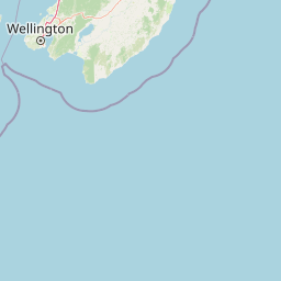
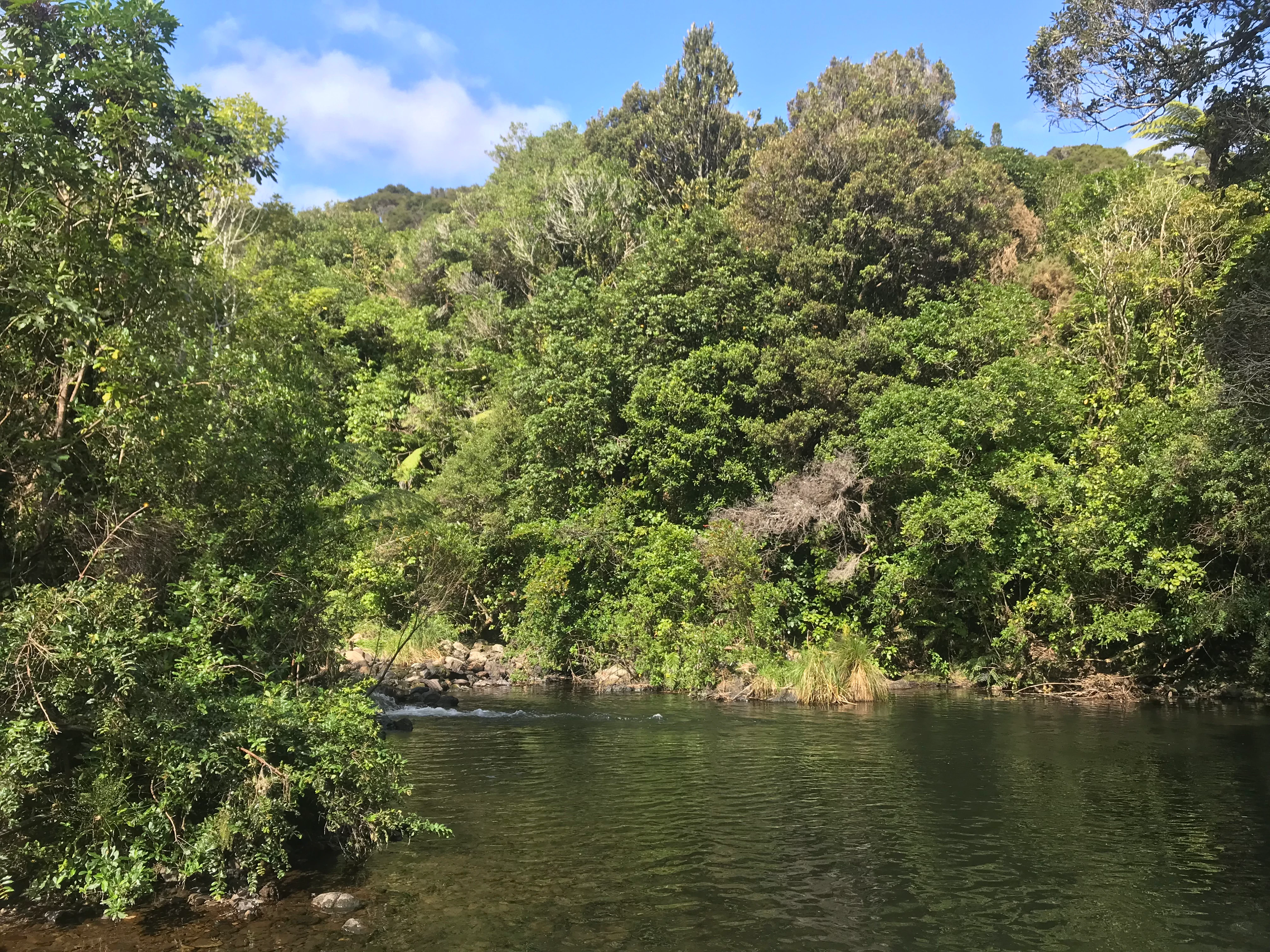
Wainuiomata Regional Park sits within a river-carved valley framed by hills, with the Wainuiomata River as the central landscape feature. The terrain rises from lowland flats near the Lower Dam up into steeper country that blends into the broader Remutaka Forest Park to the east.
The valley contains a mix of regenerating native bush, older stands of native trees, patches of planted gum trees, and open clearings associated with former logging and dam construction activity. Footbridges and a swingbridge cross the river at several points, allowing visitors to move between both sides of the valley without disturbing the bush.
Key localised landforms include the Lower Dam and its surrounding wetland, the swimming hole along the river, the creek valleys of Nikau Creek and Sledge Track Creek, and viewpoints that open up the broader Wainuiomata Valley. The combination of enclosed bush, river flats, and elevated viewpoints gives the park a layered, varied feel despite its compact footprint.
Wainuiomata Regional Park ecosystems, habitats, and plant life
The park lies on the margin of one of the largest lowland native forest blocks in the lower North Island, so its ecological character is defined by continuity with much larger areas of native bush in the surrounding water catchment and Remutaka Forest Park.
Vegetation patterns reflect both the valley's history and its recovery. Native podocarp species and associated broadleaf forest dominate the regenerating bush, while stands of gum trees, open areas, and regenerating native growth reflect the transition from past logging and dam construction to active restoration. The 2021 native plant nursery highlights the park's role in expanding native cover in the area.
In lower-lying areas, the wetland that formed at the Lower Dam after the 2007 flood has become an important freshwater habitat within the park, providing habitat variety alongside the river and creek systems. The overall ecological profile combines lowland forest, river ecosystems, and wetland edge habitats.
Wainuiomata Regional Park wildlife and species highlights
The most notable wildlife signal at Wainuiomata Regional Park is the presence of kiwi within the reserve. This is significant because kiwi rarely survive in such close proximity to major urban areas, indicating that predator management or habitat quality within the broader forest block is sufficient to sustain them.
Beyond kiwi, the park's combination of lowland native forest, the river and its tributaries, and the constructed wetland at the Lower Dam supports a typical mix of Wellington hill-country birds, forest-dwelling invertebrates, and freshwater life associated with the Wainuiomata River system. The wetland adds habitat for waterbirds and wetland-margin species, complementing the bush environments higher in the valley.
Wainuiomata Regional Park conservation status and protection priorities
Wainuiomata Regional Park plays an important conservation role because it protects a section of one of the largest lowland native forest complexes in the lower North Island, immediately adjacent to a growing urban area. Its location next to the Wainuiomata Water Collection Area means that conservation management here directly overlaps with the protection of high-quality drinking water catchments.
The presence of kiwi shows that the surrounding forest continues to host nationally significant species, and the park's predator-managed environment has therefore become a refuge close to Wellington. Active restoration is supported through the native plant nursery, which builds capacity for replanting native species including rimu, kahikatea, miro, mataī, rewarewa, coprosma, and carex.
The wetland created at the Lower Dam in 2007 extends the park's conservation value by adding freshwater habitat and ecological diversity, while the public tracks, bridges, and water museum help connect visitors to these conservation themes.
Wainuiomata Regional Park cultural meaning and human context
The park sits within a landscape long used by Māori as a route between the Wairarapa and Wellington Harbour, and that earlier travel corridor shapes how the valley is understood locally. The valley's name and its role in Māori travel patterns are part of why the area retains cultural significance beyond its modern recreational function.
European settlement brought large-scale timber harvesting to the lower valley in the mid-1800s, followed a few decades later by major water supply infrastructure. The old logging tramways, dam construction camp remains, and the surviving Lower Dam combine to give the park a tangible layer of colonial and industrial history, layered on top of the older Māori associations with the land.
Top sights and standout views in Wainuiomata Regional Park
The park's strongest drawcards are its access to large, contiguous lowland native forest, its river-valley walking tracks with swingbridges and footbridges, and the popular swimming hole on the Wainuiomata River. Short, well-graded tracks such as the Lower Dam Walk and Gums Loop Track make the area approachable for families, while more immersive routes through native bush offer a deeper bush experience.
The historic Lower Dam, the restored wetland, and the water museum add both a heritage and a habitat dimension, and the presence of kiwi in the reserve gives the park a conservation profile that is unusual for a site so close to Wellington. Combined with the volunteer-run native plant nursery, the park packs a surprising range of natural, historical, and conservation features into a compact valley setting.
Best time to visit Wainuiomata Regional Park
The park's character shifts noticeably between warmer and cooler months. Summer brings longer opening hours, drier tracks, and more inviting conditions at the river swimming hole, making it the most popular time for casual visitors and families using the easier, family-friendly tracks.
Winter can feel quieter and wetter, with shorter opening hours, but the bush, river, and wetland often feel more atmospheric, and the Lower Dam and tracks through regenerating forest take on a different mood in cooler conditions. Spring and early summer sit between these extremes and can be rewarding for anyone interested in active restoration at the native plant nursery or in observing the wetland habitat as it evolves.