
Mori Atlas logo
Nature reserveWupper bei Radevormwald

Geographic boundaries and riparian ecosystems along the meandering Wupper river valley

Wupper bei Radevormwald Nature Reserve: Protected River Landscapes in Oberbergischer Kreis

(Naturschutzgebiet Wupper bei Radevormwald)

Wupper bei Radevormwald encompasses a protected stretch of the Wupper river valley, where near-natural riparian woodlands and meandering watercourses create a distinct ecosystem in the Bergisches Land. This nature reserve, integral to the Natura 2000 network, preserves a transition between impounded water reaches and free-flowing river dynamics. By tracing the valley corridor, observers can understand the interplay between old-growth gallery forests and the diverse habitats that support river-dependent species.

river valleyriparian forestbeech forestalder floodplain forestmeandering riverNatura 2000
A flat-style digital illustration showing a waterfall cascading into a river surrounded by pine trees, cliffs, and a distant mountain under a soft sun.

Wupper bei Radevormwald

Nature reserve

Park overview

Structured park overview, official facts, and landscape profile for Wupper bei Radevormwald

Wupper bei Radevormwald park facts, protected area profile, and essential visitor context

Review the core facts for Wupper bei Radevormwald, including designation, size, terrain, visitor scale, habitats, and operating context in one park-focused overview.

About Wupper bei Radevormwald

Wupper bei Radevormwald is a nature reserve dedicated to preserving the natural character of a key stretch of the Wupper river as it flows through the Bergisches Land, a hilly, wooded region in the German federal state of North Rhine-Westphalia. Covering around 120 hectares, the protected area runs along the Wupper valley within the municipal territory of Radevormwald, beginning below the Wuppertalsperre dam at Krebsöge and extending northward toward the Wuppertal district of Beyenburg. It is bordered on its eastern edge by the L 414 regional road.

The river itself is the defining landscape element of the reserve. Near the Dahlhausen impoundment, the Wupper is slowed to a near-still flow, producing broad muddy banks, small near-natural islands and accumulations of driftwood. Further downstream, the river meanders vigorously through sections of sandy, gravelly and partly muddy riverbed, while in other stretches it has been straightened and narrowed, resulting in faster-flowing water. Together these contrasting river moods give the area a strong ecological gradient within a compact territory.

Ecologically, the reserve is anchored by its near-natural riparian woodland. Sites close to the water support site-appropriate gallery forests, while the slopes carry beech-oak and Luzula beech forest with substantial amounts of old and decaying wood, supplemented by smaller patches of black alder floodplain forest. These habitats have led to the reserve's international designation as part of the EU Natura 2000 Habitats Directive site "Wupper östlich Wuppertal", with its own identifier DE-4709-301 and a FFH area of about 125 hectares. The national code GM-057 corresponds to a globally registered World Database on Protected Areas entry under ID 329731, and it is classified in IUCN terms as a Category IV Habitat/Species Management Area.

For visitors and walkers, the reserve is also a waypoint within the region's dense hiking network. Trails along the left riverbank link a parking area at the Beyenburg reservoir with the dam of the Wuppertalsperre near Wilhelmstal, marked by the diamond "6" trail blaze, a half-mill-wheel symbol, the Bergischer Streifzug "Tuchmacherweg" route and the local "Rund um Radevormwald" loop. These trails pass cultural elements as well as natural ones, ranging from the historic Vogelsmühle cloth-manufacturing site to distinctive eroded riverbank trees at Wilhelmstal, and give the reserve a dual character as a conservation area and a cultural landscape feature.

Quick facts and research context for Wupper bei Radevormwald

Wupper bei Radevormwald is a German nature reserve (Naturschutzgebiet) of roughly 120.8 hectares in the Oberbergischer Kreis district of North Rhine-Westphalia. It lies within the city area of Radevormwald, northwest of the town center, following the Wupper river valley. The reserve was placed under protection in 2003 and largely coincides with part of the larger FFH site "Wupper östlich Wuppertal" under the EU Habitats Directive, identified by the code DE-4709-301 with a FFH-area of about 125 hectares.

It is administered under the regional landscape plan by the Untere Landschaftsbehörde Oberbergischer Kreis and is registered nationally as protected area GM-057 and globally in the World Database on Protected Areas under ID 329731. Its elevation ranges from approximately 200 to 270 meters above sea level, and the landscape combines a partially dammed, slow-flowing river section near the Dahlhausen impoundment with strongly meandering free-flowing stretches further downstream.

Protection and recognition

Examine the verified terrestrial protection scope and conservation designation records for Wupper bei Radevormwald.

Wupper bei Radevormwald Protection Status and Documented International Recognition Data

Terrestrial protection status records for Wupper bei Radevormwald outline the documented boundaries and official designation framework associated with the protected landscape. Verified conservation data details the administrative scope and international recognition parameters assigned to the natural area.

Protection details

Protection scope
Terrestrial
Transboundary protection
No
WDPA ID
329731
Park context

Deeper park guide and search-rich context for Wupper bei Radevormwald

Wupper bei Radevormwald history, landscape, wildlife, and travel context

Explore Wupper bei Radevormwald through its history, landscape character, ecosystems, wildlife, conservation priorities, cultural context, and seasonal travel timing in a structured park guide built for atlas discovery and search intent.

Why Wupper bei Radevormwald stands out

The reserve is best known for protecting one of the most ecologically valuable sections of the Wupper river east of Wuppertal, where the watercourse alternates between a calm, impounded reach with muddy banks and small wooded islands and an energetic, strongly meandering free-flowing section. This combination of near-natural river dynamics and associated gallery forests is the defining feature of the area. It is also recognized for its beech-oak and Luzula beech forests with large amounts of old and dead wood, small black alder floodplain forests, and a rich riparian flora and fauna. The area is closely linked to the Natura 2000 network, and the presence of recovering beaver populations and rare bird species such as kingfisher, white-throated dipper, black stork and red kite gives the reserve a particular significance for river and woodland conservation in the region.
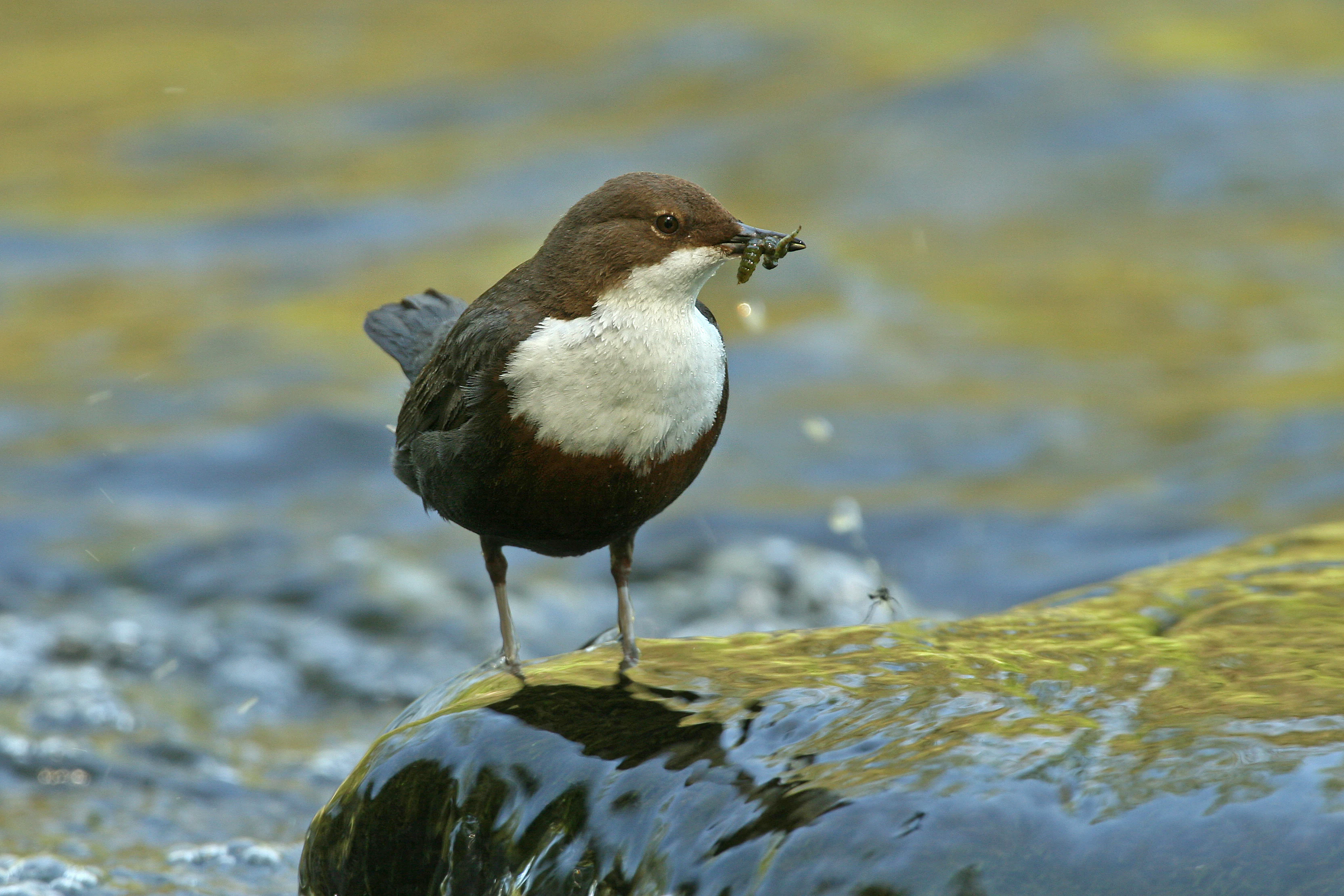
A white-throated dipper bird standing on a wet, mossy rock in a river, holding a small insect in its beak.
A white-throated dipper, identified by its distinctive white chest and dark brown plumage, perched on a rock in the Wupper river with food in its beak.

Wupper bei Radevormwald history and protected-area timeline

The Wupper bei Radevormwald reserve was formally placed under nature protection in 2003, with its boundaries and provisions anchored in the regional landscape plan (Landschaftsplan) administered by the Untere Landschaftsbehörde of the Oberbergischer Kreis. Its establishment reflected growing recognition of the ecological value of this particular stretch of the Wupper river and the need to safeguard its near-natural course, gallery forests and associated habitats from further alteration.

Shortly after its initial designation, the reserve was integrated in 2005 into the broader European Natura 2000 network as part of the Habitats Directive site "Wupper östlich Wuppertal", linking local protection efforts with international conservation commitments. Its centuries of industrial activity in the region, documented at sites such as the old Vogelsmühle cloth-manufacturing location on the riverbank, form an older, pre-conservation layer of cultural landscape, but the protected area itself is a product of early twenty-first century nature-protection policy in North Rhine-Westphalia.

Wupper bei Radevormwald landscape and geographic character

The landscape of Wupper bei Radevormwald is shaped by the Wupper river valley itself, a narrow, wooded corridor carved into the rolling hills of the Bergisches Land. Elevations within the reserve run from about 200 meters at the lower stretches to roughly 270 meters above sea level on the surrounding slopes, giving the river course a gentle gradient and the valley a sense of enclosure by forest and slope.

The river presents two clearly contrasting characters. In the southern, impounded reach influenced by the Dahlhausen weir, the Wupper spreads out into slow-moving water with muddy banks, small forested islands and significant accumulations of dead wood, creating an almost pond-like character in places. To the north, the river emerges as a vigorously meandering stream with sandy-gravelly, partly muddy riverbed stretches that have carved out sinuous curves into the valley floor. Other sections have been straightened and channelized in the past, producing narrower, faster-flowing channels that contrast with the free stretches and underline how human modification and natural recovery sit side by side here.

Along the banks, the slopes carry beech-oak woodland, Luzula beech forest and small patches of black alder floodplain forest, their trees often leaning dramatically over the water or sculpted into bizarre shapes by past flooding. Quarry faces and rock outcrops near Dahlhausen add vertical, mineral elements to an otherwise soft, forest- and water-dominated scene.
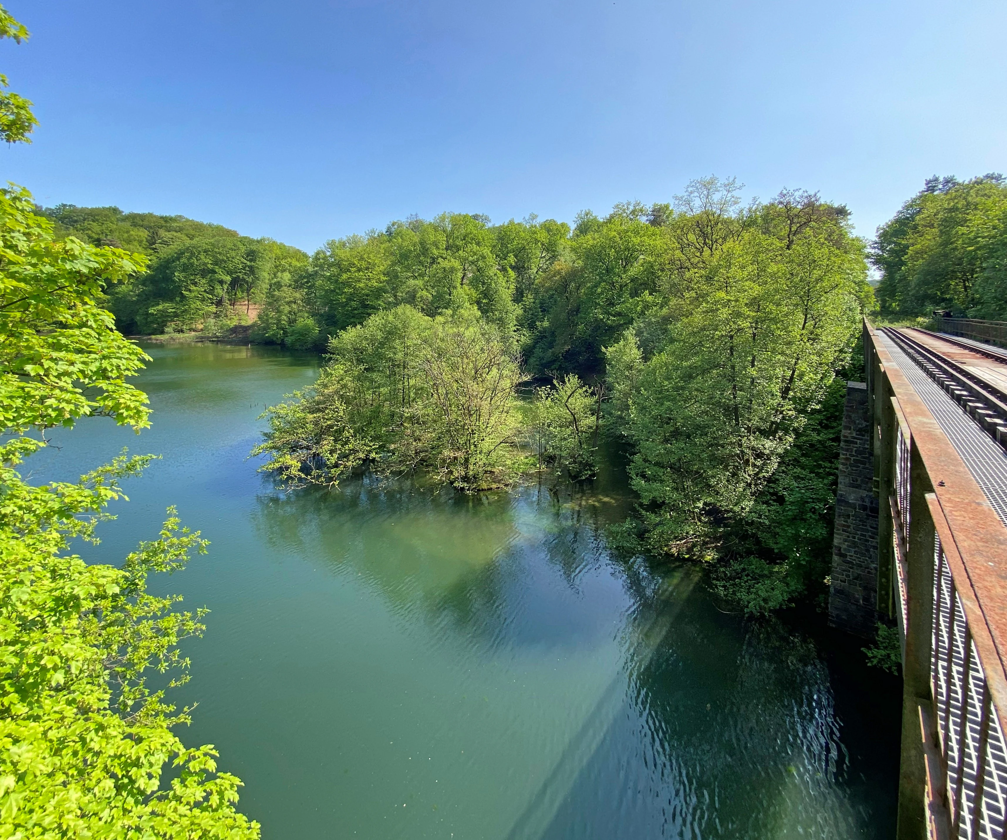
A high-angle view of the Wilhelmstal railway bridge crossing a section of the Wupper river, surrounded by lush green forest in summer.
The Wilhelmstal railway bridge spanning the Wupper river within the nature reserve.

Wupper bei Radevormwald ecosystems, habitats, and plant life

The reserve's ecological identity is tightly bound to the near-natural condition of the Wupper river and its associated forests. The combination of meandering free-flowing sections, a quiet impounded reach with muddy banks, gravelly spawning substrates and woodland margins produces a range of aquatic and semi-aquatic habitats within a relatively small area.

Forests form the second pillar of the reserve's ecology. Site-appropriate beech-oak woodland, Luzula beech forest with large amounts of old and decaying wood, and smaller patches of black alder floodplain forest line the river and extend up the slopes, providing both aquatic shading and a continuous woodland habitat complex. The structural richness of these forests, including standing and fallen dead wood, supports countless invertebrates, cavity-nesting birds and other woodland species.

The riverside vegetation includes notable marsh and wet-meadow plants, among them yellow flag iris and marsh marigold, as well as flowering plants of the herb layer such as the rampion bellflower and bistort. Totholz-rich banks and the interplay of slow and fast water create a mosaic of microhabitats that the reserve's management, under the regional landscape plan, seeks to maintain against further channelization or loss of riparian woodland.
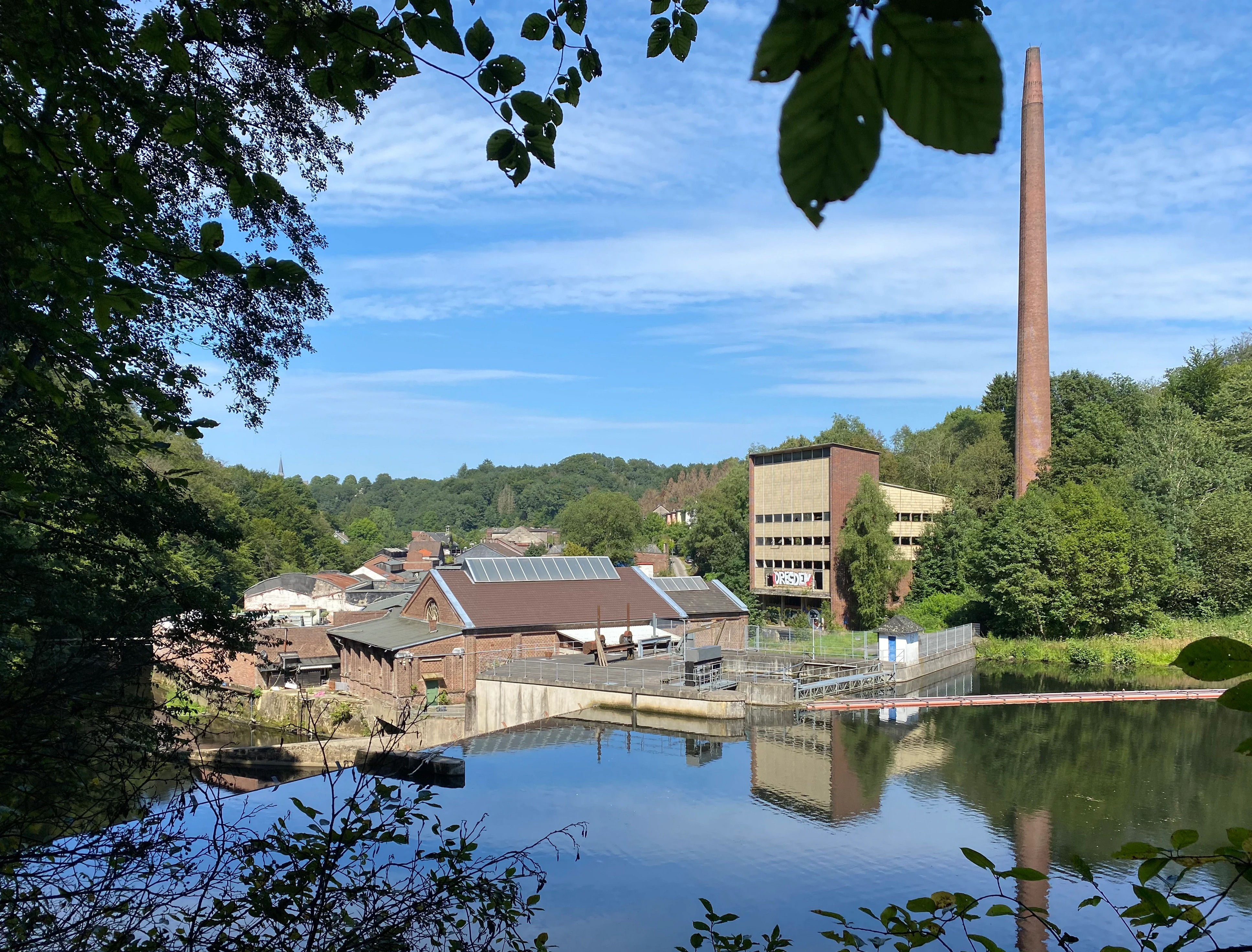
A view of the industrial Stauanlage Dahlhausen dam and brick building on the Wupper river, framed by trees in the foreground, with a tall industrial chimney visible under a bright sky.
The industrial Stauanlage Dahlhausen dam on the Wupper river near Radevormwald.

Wupper bei Radevormwald wildlife and species highlights

The reserve supports an unusually rich range of wildlife for its size, owing to its combination of intact river habitats and old riparian forests. Signs of beaver activity have been recorded along the Wupper at locations such as Oede-Schlenke, indicating that this large aquatic mammal has moved into the reserve and is actively shaping the riverbank environment.

Birds are particularly prominent. Kingfisher and white-throated dipper are characteristic of the river and its banks, while black stork and red kite can be seen in the wider airspace over the valley. Eagle owls are reported by observers as likely inhabitants of the rock faces and old quarry walls near Dahlhausen, where suitable nesting and roosting conditions exist. Groups of Canada geese are also present on the calmer, impounded water near Wilhelmstal, illustrating the reserve's importance for a mix of sedentary and seasonal waterfowl.

Beyond these headline species, the mosaic of floodplain forest, dead wood and structurally varied riverbank is widely understood to host many other rare or sensitive animals typical of near-natural low-mountain river systems in central Europe, contributing to the area's identified value within the Natura 2000 network.
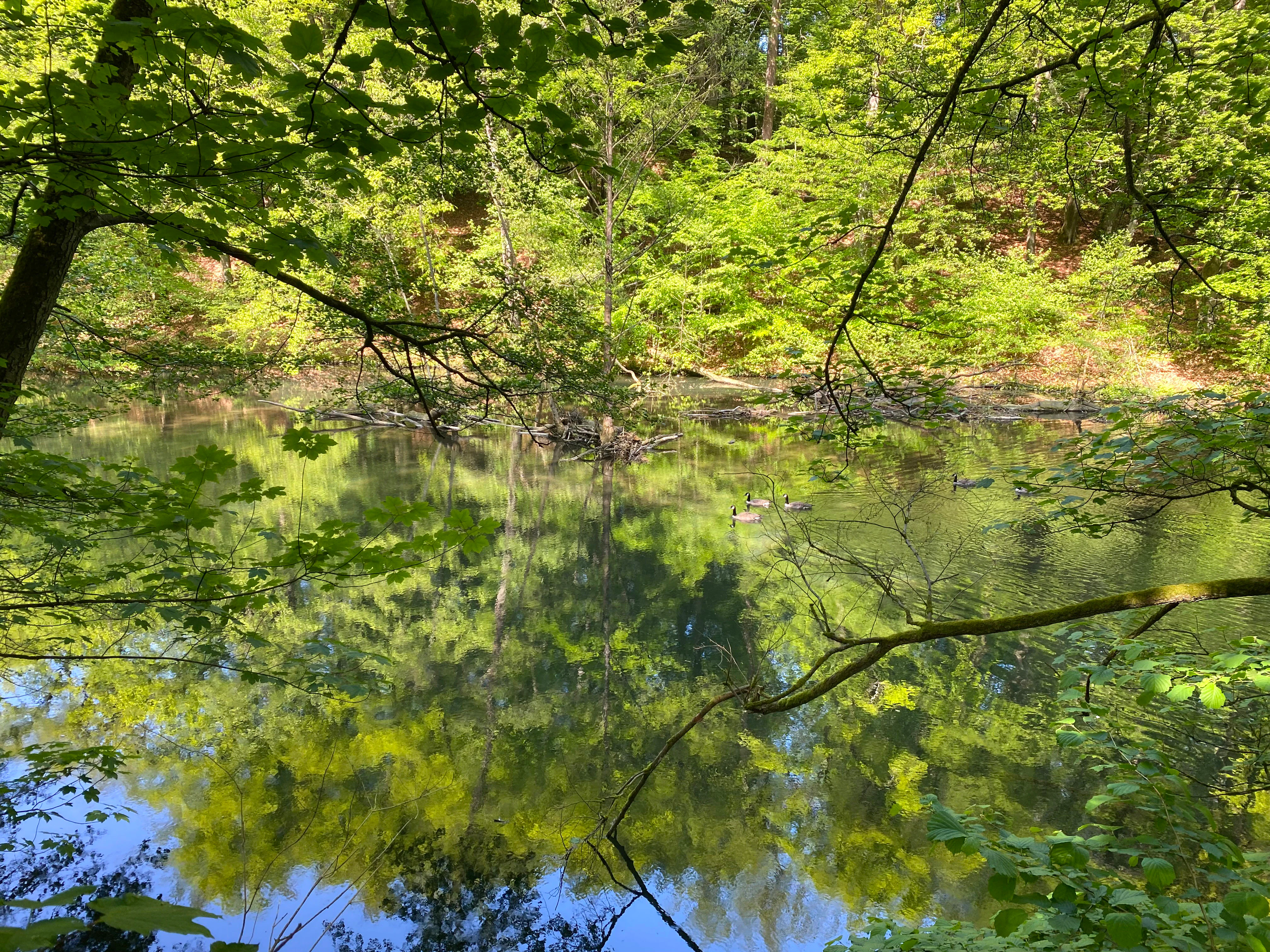
A view through lush green forest trees looking down at a calm river section with Canada geese swimming on the water surface.
Canada geese swimming in the Wupper river near Wilhelmstal.

Wupper bei Radevormwald conservation status and protection priorities

Conservation importance is central to the identity of Wupper bei Radevormwald. The reserve is the principal national designation protecting this stretch of the Wupper valley and is anchored in the regional landscape plan, which sets out management objectives and constraints for the area. It is officially classified as a Category IV Habitat/Species Management Area, recognizing that the primary goal is to maintain particular habitats and species assemblages rather than to leave the area entirely unmanaged.

Internationally, the reserve forms part of the EU Natura 2000 network through its overlap with the Habitats Directive site "Wupper östlich Wuppertal" (DE-4709-301), giving legal protection standards that align with European biodiversity policy. This status is shared at the global level through its listing in the World Database on Protected Areas under ID 329731 and the national register as GM-057.

The conservation focus centers on preserving the near-natural course of the Wupper and its associated gallery and slope forests, retaining dead wood and old trees as habitat features, and protecting rare or sensitive species such as kingfisher, white-throated dipper, black stork, red kite and recovering beaver populations. Management under the Untere Landschaftsbehörde Oberbergischer Kreis aims to maintain the contrasts between impounded, meandering and straightened river sections as habitat gradients, rather than homogenizing the river into a single channel type.

Wupper bei Radevormwald cultural meaning and human context

Although the reserve is primarily valued for its natural character, the Wupper river has long been a thread of cultural and industrial history in the Bergisches Land. The Vogelsmühle site on the Wupper within the protected area is a reminder of the region's cloth-manufacturing traditions, with old industrial structures now standing within a landscape that has returned to a more natural state.

Local place names such as Wilhelmstal, Dahlerau, Beyenburg and Krebsöge reflect a layered settlement and economic history along the river, marked in turn by mills, forges, small-scale industry and, later, water-power generation associated with the Wuppertalsperre. The reserve today sits within this cultural-landscape backdrop, where a working heritage of river use is balanced against contemporary recognition of the Wupper's ecological value.
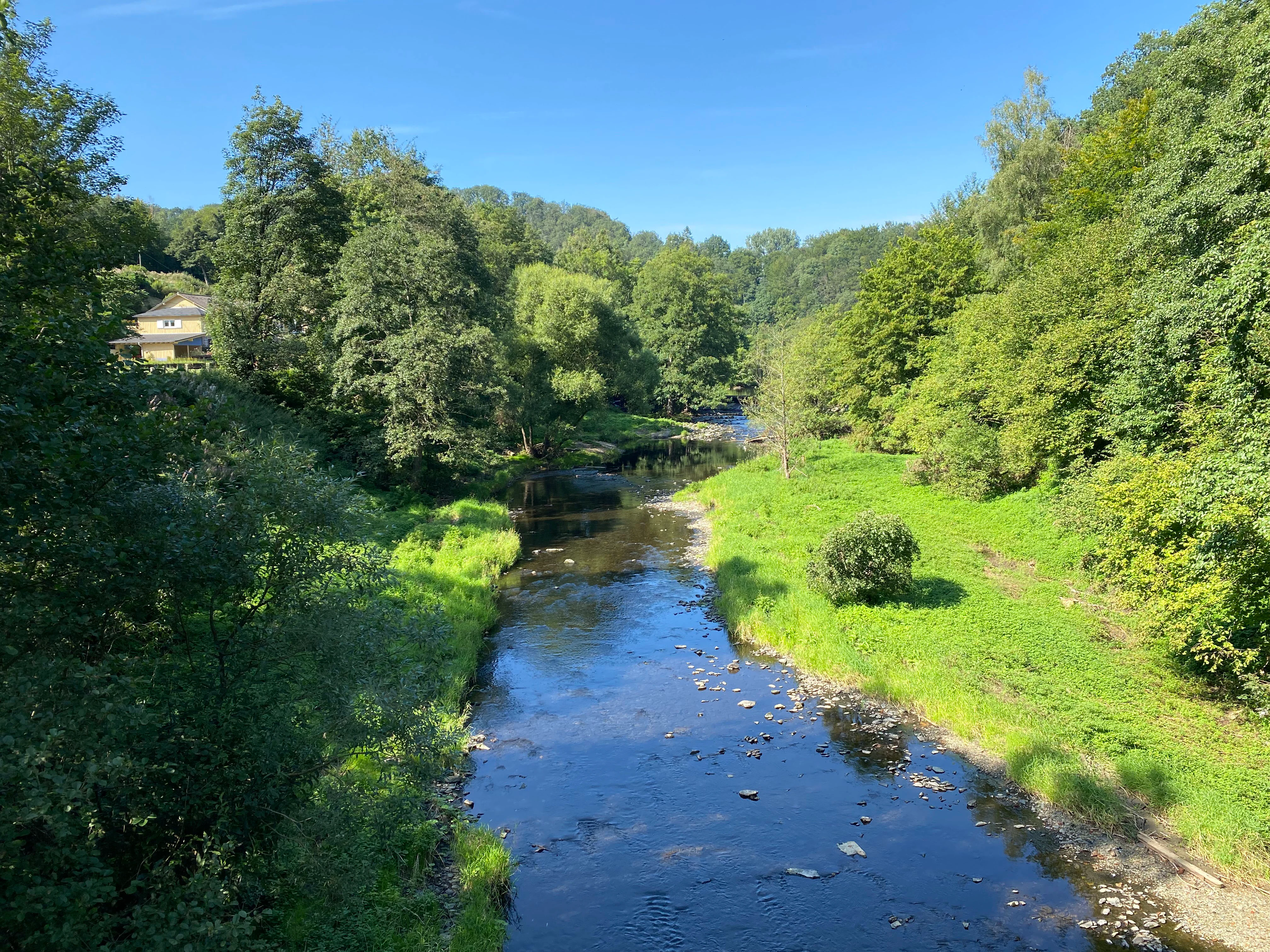
A calm, narrow river flows through a vibrant green valley, flanked by dense trees and shrubs under a clear blue sky, with a small house visible on the left bank.
The Wupper river flowing through the lush greenery of the nature reserve in Dahlerau, Radevormwald.

Top sights and standout views in Wupper bei Radevormwald

A near-natural Wupper valley that combines slow impounded water, strongly meandering free-flowing stretches and site-appropriate beech-oak and alder floodplain forests within a compact 120-hectare reserve; inclusion in the EU Natura 2000 Habitats Directive site "Wupper östlich Wuppertal" and IUCN Category IV recognition, layered over a centuries-long regional history of cloth-making, milling and small-scale industry along the river.
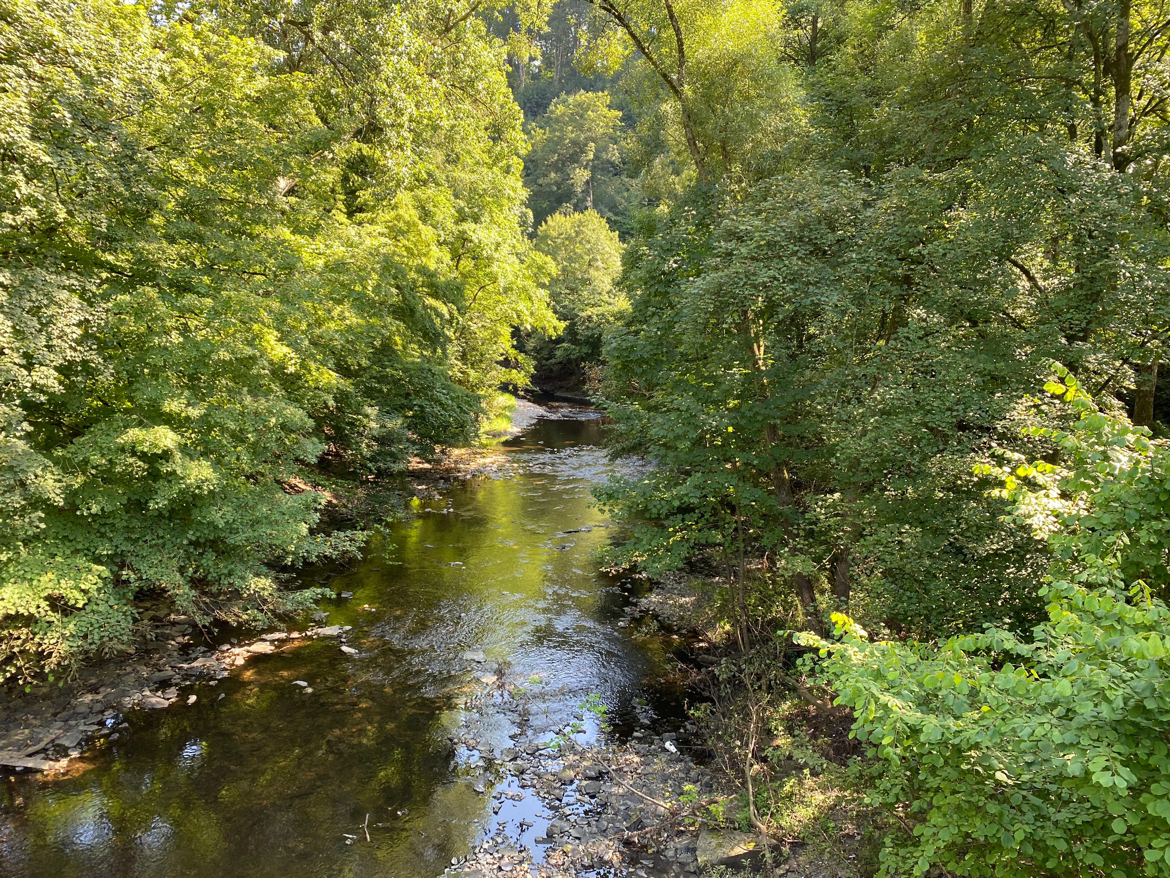
A calm, narrow river flows through a dense, leafy deciduous forest on a sunny day.
The Wupper river flowing through a lush, tree-lined valley near Dahlerau.

Best time to visit Wupper bei Radevormwald

The reserve's character varies with season. Spring brings fresh green to the riverside forests and is a strong time for listening for returning birds along and above the Wupper, while summer offers dense foliage, warm conditions for walking the length of the river trail between Beyenburg and Wilhelmstal, and good chances to observe dragonflies, kingfishers and other river species in the shallower, slower reaches. Autumn turns the beech and oak canopy into rich colors and is a rewarding period for the visual contrast of forest and water, as well as for observing beaver and other wildlife along the banks. Winter generally presents quieter conditions along the river, with leafless woodland providing clearer sightlines over the meanders and impounded water, although visitors should expect typical western German winter weather with cool temperatures and damp conditions underfoot.

Monthly climate preview

Long-term representative temperature and precipitation averages recorded at benchmark coordinates

Wupper bei Radevormwald Climate Normals and Annual Weather Patterns

Representative coordinate data for Wupper bei Radevormwald reveals a measured annual temperature range from near freezing winter minimums to warm summer highs alongside steady monthly precipitation records. Examining the complete twelve-month climate profile provides detailed historical normals for temperature and precipitation rhythms across the protected landscape.
Annual mean9 °C
0 °C18 °C
Jan
Feb
Mar
Apr
May13°
Jun16°
Jul18°
Aug18°
Sep14°
Oct
Nov
Dec
Warmest month
July

18.3 °C

Coolest month
January

0.3 °C

Wettest month
December

3 mm/day

Driest month
April

1.8 mm/day

Park location guide

Geography guide, regional context, and park location map for Wupper bei Radevormwald

Wupper bei Radevormwald park geography, regions, and map view in Germany

Understand where Wupper bei Radevormwald sits in Germany through a broader geographic reading of the surrounding landscape, nearby location context, and its mapped position within the national park landscape.

How Wupper bei Radevormwald fits into Germany

Germany is a federal republic in Western and Central Europe with a population of over 83 million across sixteen constituent states. It is Europe's largest economy by nominal GDP and a major global exporter and importer. The capital is Berlin, and the country borders Denmark, Poland, Czech Republic, Austria, Switzerland, France, Luxembourg, Belgium, and the Netherlands.

Wider geography shaping Wupper bei Radevormwald in Germany

Germany is located in Western and Central Europe, spanning 357,022 km². It borders Denmark to the north, Poland and the Czech Republic to the east, Austria and Switzerland to the south, and France, Luxembourg, Belgium, and the Netherlands to the west. The country has coastlines on the Baltic Sea and North Sea to the north, with the Alps located in the southern region.

Map view of Wupper bei Radevormwald

Use this park location map to pinpoint Wupper bei Radevormwald in Germany, understand its exact geographic position, and read its mapped placement within the surrounding landscape more clearly.

Pigeon | © OpenStreetMap contributors

Location context for Wupper bei Radevormwald

Nordrhein-WestfalenOberbergischer Kreis

Visual exploration of river valleys, riparian forests, and protected habitats

Wupper bei Radevormwald Photos and Landscape Scenery

Visual documentation of Wupper bei Radevormwald reveals the intricate terrain of a protected river valley and its surrounding beech woodland. Detailed photography captures the contrasting character of meandering streams, impounded waters, and intact riparian habitats.

A white-throated dipper bird standing on a wet, mossy rock in a river, holding a small insect in its beak.

A bright blue and orange common kingfisher perched on a thin tree branch, looking to the right against a softly blurred green forest background.

A high-angle view of the Wilhelmstal railway bridge crossing a section of the Wupper river, surrounded by lush green forest in summer.

A view of the industrial Stauanlage Dahlhausen dam and brick building on the Wupper river, framed by trees in the foreground, with a tall industrial chimney visible under a bright sky.

A view through lush green forest trees looking down at a calm river section with Canada geese swimming on the water surface.

A view through trees looking out over a river winding through a green meadow with a wooded hillside in the background.

A calm, narrow river flows through a vibrant green valley, flanked by dense trees and shrubs under a clear blue sky, with a small house visible on the left bank.

A calm, narrow river flows through a dense, leafy deciduous forest on a sunny day.

A calm, reflective section of the Wupper river surrounded by dense green deciduous forest, with overhanging tree branches and a partially submerged log in the water.

A tree with a thick, curved trunk leans over the calm, reflective surface of the Wupper river, surrounded by lush green foliage.

A tree trunk on a riverbank with a large, clean wedge-shaped gnaw mark at the base, indicating beaver activity.

Park atlas

Explore surrounding protected landscapes and compare regional river valley conservation areas.

Parks near Wupper bei Radevormwald: Discover Related Protected Areas and River Valleys

Browsing parks near Wupper bei Radevormwald reveals similar protected river valleys, meandering watercourses, and riparian forest ecosystems across the wider Bergisches Land region. Expanding the search helps connect individual valley reserves to broader regional conservation networks and mapped natural geography.
Nature reserveNordrhein-Westfalen
About 1.2 km away#1 closest

West

Wilhelmsthaler und Haller Bachtal Nature Reserve: Bergisches Land Landscape and Map

A study of protected stream valleys and habitat mosaics in North Rhine-Westphalia.

Located in Remscheid, the Wilhelmsthaler und Haller Bachtal nature reserve protects a diverse array of interconnected stream-side and grassland habitats. This area demonstrates the ecological value of traditional valley landscapes in the Bergisches Land, providing essential connectivity for rare flora and local stream ecosystems through its unique relief and water corridors.

Area
0.103 km²
Established
2003
IUCN
IV
Relief
Upland
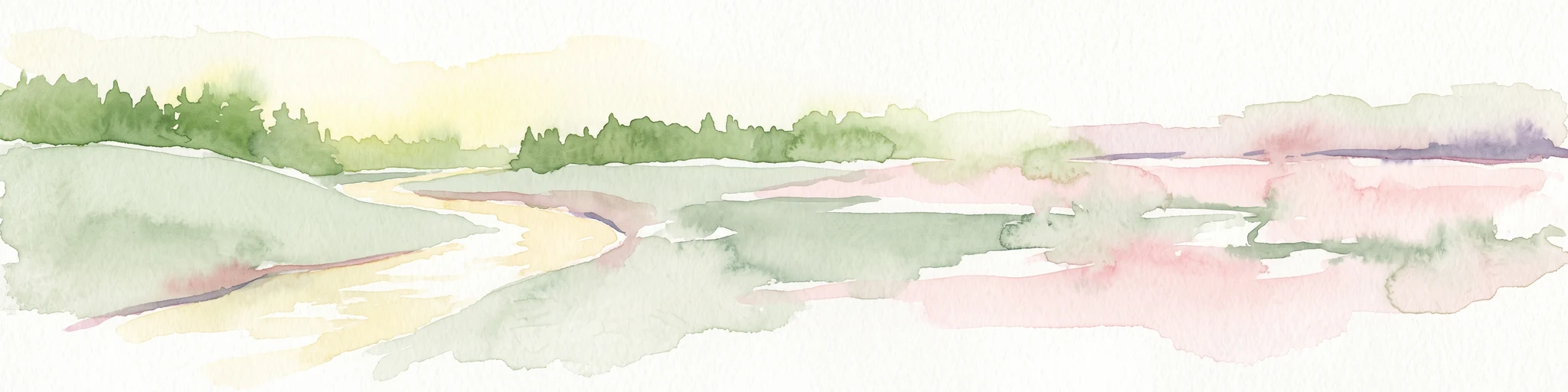
A horizontal watercolor painting depicting a meandering stream flowing through open, green, and pink-toned marshy grasslands bordered by a distant treeline.
Nature reserveNordrhein-Westfalen
About 3.9 km away#2 closest

North

Spreeler Bachtal Nature Reserve: Geography and Protected Valley Landscapes

An upland nature reserve in the Bergisches Land region of Germany.

This nature reserve centers on the meandering Spreeler Bach, a gravel-bedded stream defining a diverse protected area in North Rhine-Westphalia. The terrain includes wet meadows, spring-fed grassland, and managed deciduous forests on steeply rising valley slopes. It serves as a prime example of targeted habitat conservation within the larger slate landscapes of the Bergisches Land, straddling administrative boundaries between Radevormwald and Ennepetal.

Area
0.21 km²
Established
2019
IUCN
IV
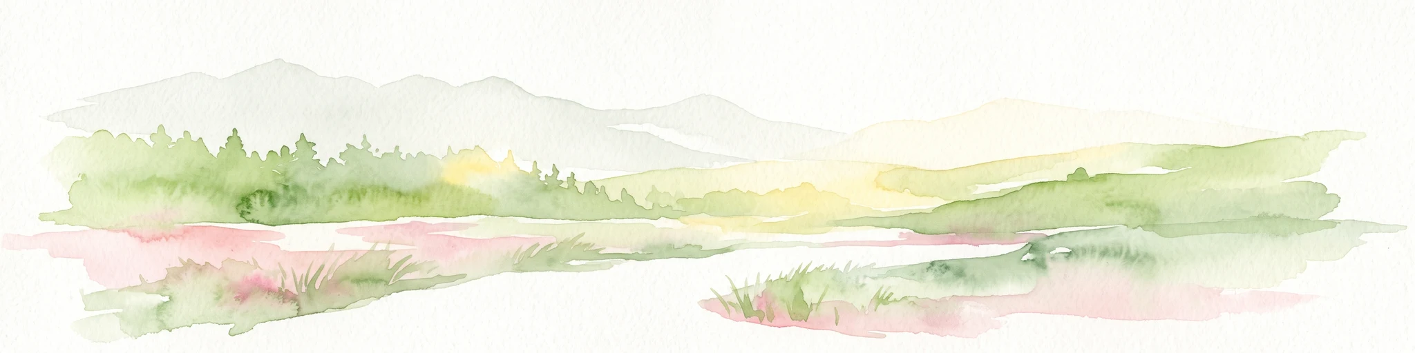
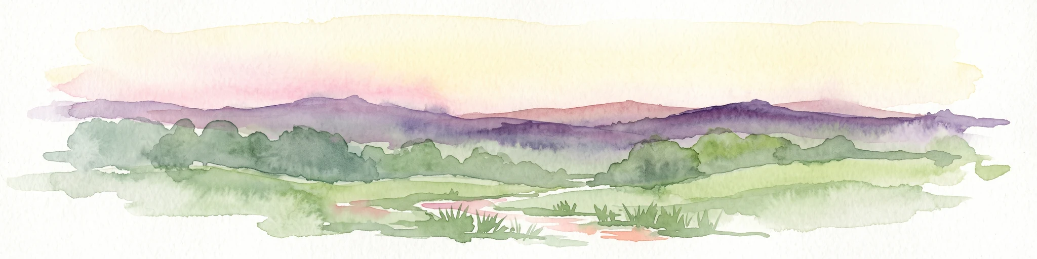
A soft watercolor illustration of a green valley with a central stream or river winding through meadows towards distant hills.
Nature reserveOberbergischer Kreis
About 5.2 km away#3 closest

Southeast

Leiverbachtal und Talhänge: Protected Stream Valley and Forest Habitat in Oberbergischer Kreis

Examining the geography of a Bergisches Land nature reserve

Leiverbachtal und Talhänge stands as a significant nature reserve within the Oberbergischer Kreis, defined by its near-natural meandering stream and diverse riparian ecosystem. The site offers a detailed look at floodplain meadows, slope forest transitions, and the ongoing shift toward broadleaf woodland within the German Mittelgebirg landscape.

Area
0.92 km²
Established
2006
IUCN
IV
Relief
Upland
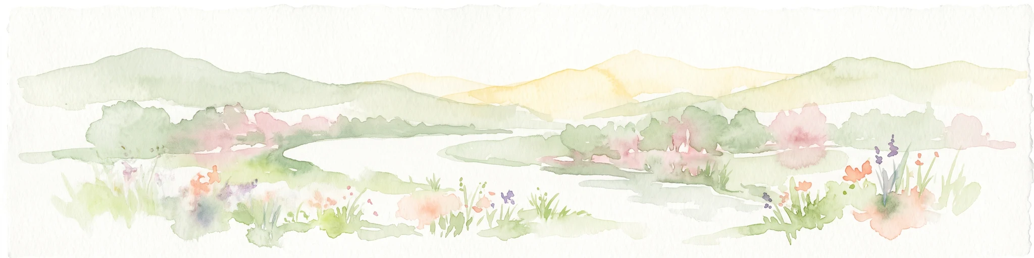
A wide watercolor illustration showing a winding river flowing through a green valley with pink and purple flowers in the foreground and soft yellow hills in the background.
Nature reserveNordrhein-Westfalen
About 6.8 km away#4 closest

West

Leyerbachtal Nature Reserve: A Protected Valley and Industrial Heritage Site in Remscheid

An alluvial landscape and low-mountain stream corridor in Germany

Leyerbachtal serves as a vital protected corridor featuring a meandering brook, expansive gravel banks, and species-rich wet meadows. Located in the heart of the Bergisches Land, this nature reserve integrates high-value ecological habitats with the historic industrial remnants of Remscheid's water-powered past.

Area
0.151 km²
Established
2003
IUCN
IV
Nature reserveNorth Rhine-Westphalia
About 8.4 km away#5 closest

South

Wupperaue bei Westenbrücke Nature Reserve Landscape and Geographic Mapping

Protected riparian floodplain in the Oberbergischer Kreis

This nature reserve protects a vital 2.3 kilometer segment of the Wupper river valley. Its landscape is characterized by a mosaic of wet meadows, alder and willow stands, and riparian corridors, providing a crucial stepping-stone habitat within the Hückeswagen area of North Rhine-Westphalia.

Area
0.318 km²
Established
2013
IUCN
IV
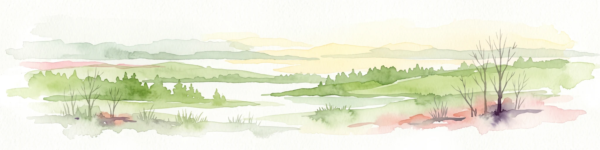
Watercolor painting of a rolling rural landscape with distant purple hills, green meadows, and trees, with a soft yellow sky.
Nature reserveNordrhein-Westfalen
About 8.9 km away#6 closest

West

Naturschutzgebiet Oelingrather und Grunder Bachtal: Regional Valley Conservation Atlas

Deep-dive into the stream networks of Nordrhein-Westfalen

Naturschutzgebiet Oelingrather und Grunder Bachtal is defined by its two parallel V-shaped valleys and diverse aquatic habitats. This reserve preserves a vital mosaic of wet meadows, nutrient-poor grasslands, and deciduous forests that function as an essential stepping-stone within the regional ecological network of the Bergisches Land.

Area
0.222 km²
Established
2003
IUCN
IV
Relief
Upland
A watercolor painting showing a soft, stylized landscape of a meadow with low rolling hills in the background.
Nature reserveNordrhein-Westfalen
About 11 km away#7 closest

Southwest

Naturschutzgebiet Orchideenwiese bei Heintjeshammer: Regional Nature Reserve and Landscape Atlas

Examining meadow diversity and protected habitats in North Rhine-Westphalia

Spanning roughly 4.3 hectares on a hillside above the Eschbach valley, this nature reserve protects a rare assemblage of wetland, heathland, and wooded siefen habitats. It remains a key focus for understanding the distribution of species-rich grassland ecosystems that persist in the rolling topography of the Bergische Hochfläche.

Area
0.043 km²
Established
2000
IUCN
IV
Relief
Upland
Nature reserveNordrhein-Westfalen
About 13 km away#8 closest

Southwest

Wupper und Wupperhänge südlich Müngsten Protected Nature Reserve and River Valley Geography

Mapped river slopes and protected forest landscapes in Nordrhein-Westfalen

This nature reserve protects a 2.8 kilometer stretch of the Wupper valley, defined by steep ravines, rocky slate outcrops, and ancient broadleaf forests. As an important habitat for local river-dependent flora and fauna, the area offers a structured look at low mountain landscape ecology and complex hydraulic stream networks in the Bergisches Land region.

Area
1.443 km²
Established
2003
IUCN
IV

Common questions about visiting, size, designation, and location context for Wupper bei Radevormwald

Wupper bei Radevormwald FAQs for park facts, access, geography, and protected area context

Find quick answers about Wupper bei Radevormwald, including protected-area facts, park geography, trail and visitor context, and how the park fits into its surrounding country and regional landscape.
MoriAtlas Explorer

Continue Your Protected Areas Search Across the Global Atlas

Deepen your exploration by continuing the structured search for national parks and protected areas worldwide. Utilize the comprehensive filtering capabilities to compare different conservation landscapes and refine your understanding of global park geography. Discover more about the distribution and characteristics of protected natural areas.

Global natural geography