
Discover the structured categories of protected lands across Malawi and their geographic distribution.
Malawi's Protected Area Designations: National Parks and Reserve Classifications
Navigate the diverse protected landscape of Malawi through its classification systems. This route focuses on the represented designation groups, such as National Parks, allowing for a structured understanding of conservation areas. Explore the unique categories that define Malawi's natural heritage and use this atlas-driven approach to discover the geographic context of its reserves and parks.
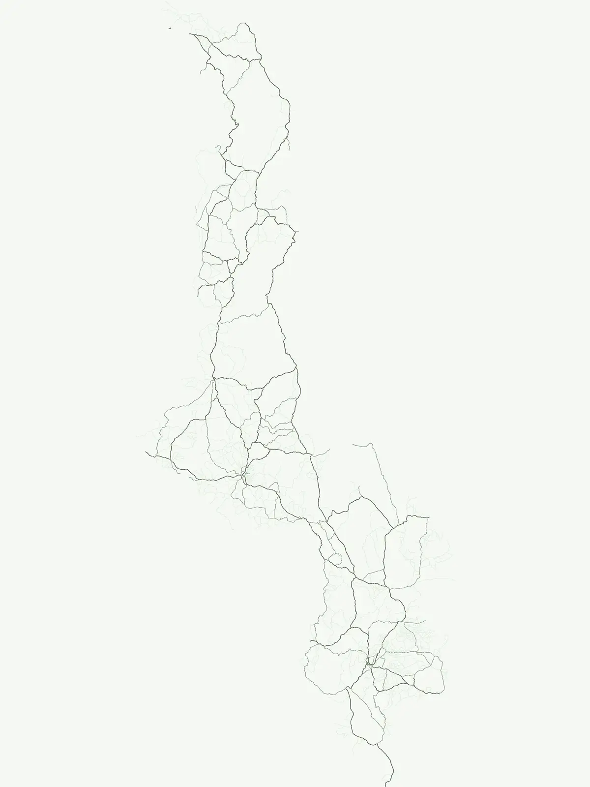
Understand the protected-area structure and diverse park types across Malawian geography.
Browse Malawi's Protected Area Designations and National Park Categories
Explore the protected area designations and national park categories that define Malawi's conservation landscape, including iconic sites like Lake Malawi National Park. Mapping these designation types reveals how the country's diverse terrain, from its vast lake to inland plains, is protected and managed for long-term conservation.
- Represented designations
- 4
- Mapped parks
- 15
Leading designation
National park
Malawi's Protected Area Landscape: Uncovering its National Park Designations
Malawi's protected area system is notably characterized by its National Park designation, providing a structured view of its primary conservation landscapes. Explore how this focused approach defines the country's park geography, encompassing critical terrestrial habitats and significant portions of Lake Malawi's aquatic protected areas.
Browse mapped boundaries and regional geography of protected areas.
National park
This atlas component provides detailed geographic context for Malawi's National Parks, highlighting the country's commitment to landscape conservation and biodiversity. Each park is presented with its mapped boundaries, contributing to a comprehensive understanding of protected areas within Southeastern Africa. Explore the distribution and geographical significance of these nationally recognized parks to gain insight into Malawi's natural resource management.
Regional conservation and wildlife habitat protection
Wildlife reserve
Examine the geographic layout of wildlife reserves in Malawi, identifying critical conservation corridors and protected habitats. This atlas-focused overview helps users trace the extent of land set aside for ecosystem health and wildlife protection within the country.
Regional mapping of protected nature and biodiversity reserves
Nature reserve
Access a structured overview of nature reserves in Malawi, focusing on their role in long-term habitat preservation and ecological stability. This resource maps the specific boundaries and regional significance of these protected lands, clarifying their contribution to the country landscape.
Regional mapping of protected natural sites and reserves.
Protected area
Access a structured index of protected areas in Malawi that hold conservation significance. This resource maps various reserves and natural sites, providing a clear geographic view of landscape protection efforts across the national territory for informed research and regional exploration.
Continue Exploring Malawi's National Parks and Protected Landscapes
Deepen your understanding of Malawi's natural geography by continuing to explore its extensive network of national parks and protected areas. This country-level view supports detailed atlas discovery, allowing you to trace the distribution of conservation lands and their unique landscape characteristics across the region.