Mori Atlas logo
Countries

Navigate the geographic boundaries and unique natural terrain of the Antarctic Treaty protected zones.

Antarctica: parks and protected areas

Explore maps and profiles of protected areas in Antarctica, including Mawson's Huts and Scullin Monolith.

Related tags

polar continentSouthern OceanAntarctic ice sheetpolar wildlifescientific research
Park system

Antarctica Park System and Protected Area Profile

Evaluating scale, age, and environmental distributions across known regional records

Calculations from current atlas records reveal combined protected area, median park dimensions, and historical establishment patterns. Environmental metrics map designation types, coastal habitats, and climate zones across known polar reserves.

Known protected area

28.6 km²

Area data available for 4 of 8 parks.

Median park size

5.1 km²

Median across 4 parks with known area.

Oldest known park

Established in 1912.

Largest known park

Recorded area: 18 km².

Designation distribution

Habitat distribution

Climate distribution

About

Explore mapped park geography and protected landscapes across the continent.

Antarctica Protected Areas and National Parks Atlas

Browse national parks and protected areas in Antarctica through a comprehensive regional geography database. Access structured location data and mapped terrain to navigate polar conservation zones and coastal reserves.

Centered on the South Pole, Antarctica is the highest, driest, coldest and windiest continent. Almost all of its land is buried beneath ice, yet its coasts and surrounding ocean sustain globally significant colonies of penguins, seals and seabirds.

Antarctica has no permanent native population or sovereign government. Scientific stations operate under a system of international cooperation anchored by the Antarctic Treaty, while the treaty's Environmental Protocol designates the continent as a natural reserve devoted to peace and science. Human activity is concentrated at scattered coastal and inland research bases, leaving most of the continent remote and only intermittently visited.

Parks count
8

Park atlas8 parks

Explore mapped protected landscapes and coastal reserves across the continent

Antarctica Park List and Protected Areas Directory

Browse specialized protected areas, ice free terrain, and seabird breeding colonies located throughout Antarctica. Access comprehensive regional profiles to examine the geographic distribution of remote polar conservation zones.
A pale, minimalist watercolor illustration of soft rolling green hills, a tree line, and a body of water in the foreground, against a plain white background.
Protected areaAustralian Antarctic Territory

Mawson's Huts Protected Area: Antarctic Heritage and Coastal Geographic Landscape

Historic polar structures in the Australian Antarctic Territory

Located at Cape Denison, Mawson's Huts represents a rare preserved footprint of the Heroic Era of Antarctic exploration. The site encompasses specialized scientific buildings set against a challenging coastal landscape, offering insight into the logistical history of polar science within the Australian Antarctic Territory.

Established
1912
Relief
Lowland
Climate
Polar
Access
Remote access
A stylized illustration of rolling green hills in the foreground leading to a deep valley surrounded by purple and pink mountain peaks under a soft sky.
Protected areaMac. Robertson Land

Scullin Monolith Protected Area in East Antarctica: Coastal Geography and Habitat Atlas

Ice-free coastal terrain and regional seabird breeding grounds

Scullin Monolith represents a singular landmark of exposed rock along the glaciated coastline of Mac. Robertson Land. Stretching from Mikkelsen Peak toward Douglas Bay, this crescent-shaped promontory remains essential for understanding East Antarctic coastal geography and the dense avian populations that rely on its rare snow-free terrain and protective vertical cliffs.

Established
1931
Relief
Upland
Climate
Polar
Access
Remote access
Protected areaAntarctica

Clark Peninsula: Antarctic Protected Landscape and Coastal Geographic Atlas

Ice-free rocky terrain on the Budd Coast of Wilkes Land

Clark Peninsula provides a window into the unique geography of East Antarctica, featuring exposed rocky outcrops, coastal coves, and significant glacial moraines. As a dedicated protected area, the site supports long-term ecological research and provides a critical habitat for seabird colonies, offering a detailed look at the interface between continental ice and the Southern Ocean.

Area
9.4 km²
Relief
Lowland
Climate
Polar
Access
Remote access
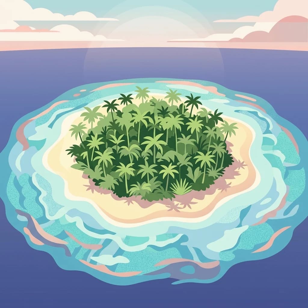
A digital illustration of a small, round island covered in palm trees, surrounded by blue water and white sand.
Protected areaEast Antarctica

Amanda Bay Protected Area: Geography and Coastal Ice Mapping in East Antarctica

Glacial inlets, emperor penguin colonies, and stable sea ice

Amanda Bay offers a focused look at the remote East Antarctic coastline, characterized by the Hovde Glacier, Flatnes Ice Tongue, and recurring stable sea ice. This protected area serves as a vital habitat for thousands of emperor penguins and illustrates the complex relationship between glacial cliffs and coastal marine environments across the Prydz Bay margin.

Area
18 km²
Established
1957
Relief
Lowland
Climate
Polar
An illustration of a small tropical island with palm trees and a sandy beach surrounded by clear turquoise water.
Protected areaAntarctica

Ardery Island: Protected Coastal Geography and Antarctic Seabird Habitats

Rugged terrain and avian conservation in the Windmill Islands

Ardery Island represents a compact, rocky protected area within the Antarctic landscape. Known for its steep cliffs and essential seabird colonies, this island serves as a focal point for ecological study along the Budd Coast, offering a distinct example of high-latitude coastal geography.

Relief
Upland
Climate
Polar
Access
Remote access
Scope
Mixed
A stylized flat illustration of a lush tropical island with palm trees, surrounded by shallow turquoise water, set against a soft pastel sunset sky.
Protected areaMac. Robertson Land

Rookery Islands Protected Area: Mac. Robertson Land Polar Landscape Atlas

Coastal rocky terrain and international seabird conservation zone

Located in western Holme Bay, the Rookery Islands form a protected rocky archipelago along the Mawson Coast. This site functions as a key reference area for polar seabird populations, including Adélie penguins and southern giant petrels, while providing a clear contrast to the high-relief mountain ranges of the Antarctic mainland.

Area
0.89 km²
Relief
Lowland
Climate
Polar
Access
Remote access
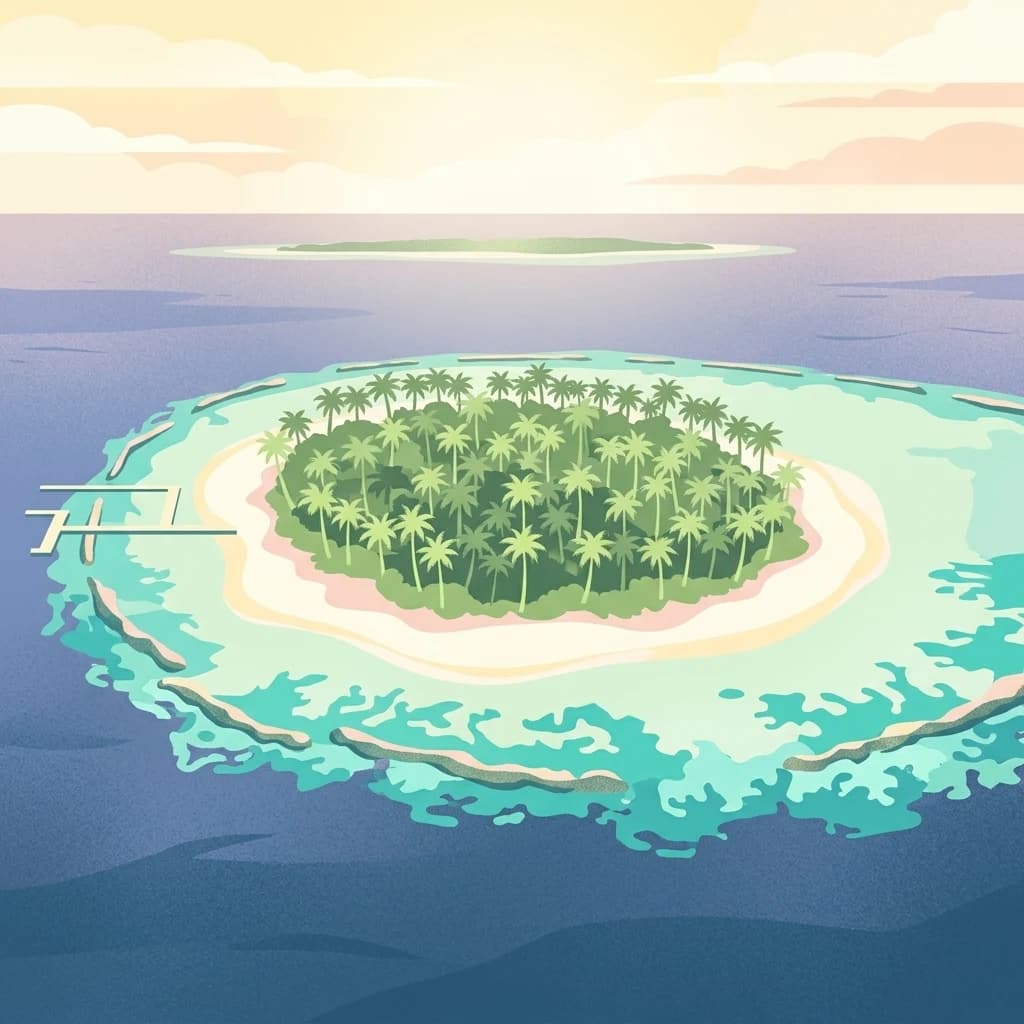
A stylized digital illustration of a small, densely forested island surrounded by shallow turquoise water and a darker ocean, with a wooden pier extending to the shore.
Protected areaAntarctica

Frazier Islands Protected Area: Geographic Boundaries and Antarctic Coastal Context

Rocky island terrain within the Vincennes Bay coastal region

Examine the rugged profile of the Frazier Islands, a group of three ice-free rocky outcrops rising from the Southern Ocean. Their protected status and specialized role as a rare continental seabird breeding ground offer a distinct lens into the regional geography and conservation landscapes of East Antarctica.

Relief
Lowland
Climate
Polar
Access
Remote access
Scope
Marine
Wildlife reserveAntarctica

Taylor Rookery Wildlife Reserve: Antarctic Protected Landscape and Research Site

Mapping a unique land-based penguin colony on the Mawson Coast.

Located on the Mawson Coast of East Antarctica, Taylor Rookery is a protected wildlife reserve of high scientific importance. This site serves as a vital benchmark for emperor penguin population studies, featuring a rare landscape of rocky outcrops that support land-based breeding. Its unique geography, framed by Taylor Glacier and the Colbeck Archipelago, provides a stable environment for observing one of the most monitored polar colonies in the region.

Area
0.26 km²
Relief
Lowland
Climate
Polar
Access
Remote access
Landscape and environment

Understand how Antarctica is shaped by terrain, ecosystems, and seasonal conditions

Antarctica geography, nature, climate, and landscape context for park-focused travel research

Explore the physical geography, natural setting, and climate patterns of Antarctica through a location-first overview built for travel research, national park discovery, and broader regional context. This section helps explain how landscapes, habitats, and environmental conditions shape what people search for, where they travel, and how they experience protected areas in Antarctica.

Antarctica geography and landscape

The continent surrounds the geographic South Pole and is separated from other landmasses by the Southern Ocean. A vast ice sheet conceals mountain ranges, basins and plains, exceeds four kilometres in thickness in places and flows outward through glaciers and floating ice shelves. The Transantarctic Mountains divide East and West Antarctica, while the Antarctic Peninsula reaches north toward South America.

Antarctica nature and environment

Life on land is sparse and highly specialized: lichens, mosses, algae, fungi and microorganisms occupy the limited ice-free ground. Biological abundance is much greater at the coast and in the Southern Ocean, where krill supports food webs that include penguins, petrels, seals and whales. Protected sites such as Amanda Bay, the Frazier Islands and Taylor Rookery safeguard breeding colonies and unusually sensitive habitats.

Antarctica climate and seasonal conditions

Antarctica is a polar desert. The high interior is exceptionally cold and dry, whereas the coast is somewhat milder, windier and snowier; fierce katabatic winds descend from the ice sheet. Summer brings continuous or near-continuous daylight across much of the continent, while winter is dominated by darkness and a great seasonal expansion of sea ice.

Explore this place

Related topics and popular queries

Ways to explore Antarctica

Useful phrases, related topics, and discovery prompts connected to Antarctica.
why is Antarctica covered in icewhat wildlife lives in Antarcticaprotected areas in Antarcticahow cold is the Antarctic continentgeography beneath the Antarctic ice sheetwhat does the Antarctic Treaty protectAntarctica continentAntarctic protected areasSouthern Ocean wildlifeAntarctic ice sheet geographypenguin breeding coloniesAntarctic Treaty environment
Park map

Explore mapped park distribution and coastal protected areas across Antarctica

Antarctica National Parks Map and Protected Areas Atlas

Interactive map previews display regional protected areas and coastal park locations across Antarctica, highlighting polar terrain and wildlife habitats. Detailed geographic positioning helps researchers and explorers analyze protected landscapes within the broader continental atlas.

Explore structured insights into protected landscapes, coastal terrain, and regional park distribution across Antarctica.

Antarctica National Parks FAQ: Common Questions on Protected Areas and Geography

Navigating protected areas and remote terrain requires reliable geographic context regarding ice-free zones and coastal habitats. These frequently asked questions clarify the regional distribution of protected zones, rocky coastlines, and seabird breeding colonies across Antarctica.
Other countries

Compare polar territories and browse global protected landscapes across regional borders.

Explore Other Countries with Protected Areas and National Parks Near Antarctica

Connecting polar terrain with international territories allows researchers and travelers to compare protected landscapes across global borders. Expanding regional boundaries helps locate national parks and wildlife reserves in nearby countries.

South Africa: parks and protected areas

Parks and protected areas in South Africa, including Kruger and Addo.

109 parks

Namibia: parks and protected areas

Parks and protected areas in Namibia, including Etosha and Namib-Naukluft.

21 parks

Lesotho: parks and protected areas

Parks and protected areas in Lesotho, including Sehlabathebe and Ts'ehlanyane.

4 parks

Protected area types

Examine the Classification of Antarctica Protected Area Designations

Understand the systematic framework used to categorize protected territories across the continent. MoriAtlas helps you navigate between distinct designation families to better visualize how specific wildlife reserves and protected areas define the geography of Antarctica.

Antarctica Protected Area Designations
MoriAtlas Explorer

National parks and protected areas worldwide

Find a park and explore its geography, habitats, and monthly climate.

Global natural geography