
Mori Atlas logo
Park guides

Focused insights on alpine terrain, seasonal access, and landscape exploration within the Southern Alps

Expert Guides and Regional Planning Resources for Aoraki / Mount Cook National Park

Access a structured collection of resources designed to support thorough engagement with Aoraki / Mount Cook National Park. These guides clarify seasonal conditions, access patterns, and the distinct alpine geography of this protected wilderness area in the Canterbury Region.

Related tags

Southern AlpsGlacial landscapeWorld Heritage siteMountain peaksAlpine environment

New Zealand's Alpine Heartland: Glaciers, Peaks, and World Heritage

Aoraki / Mount Cook National Park

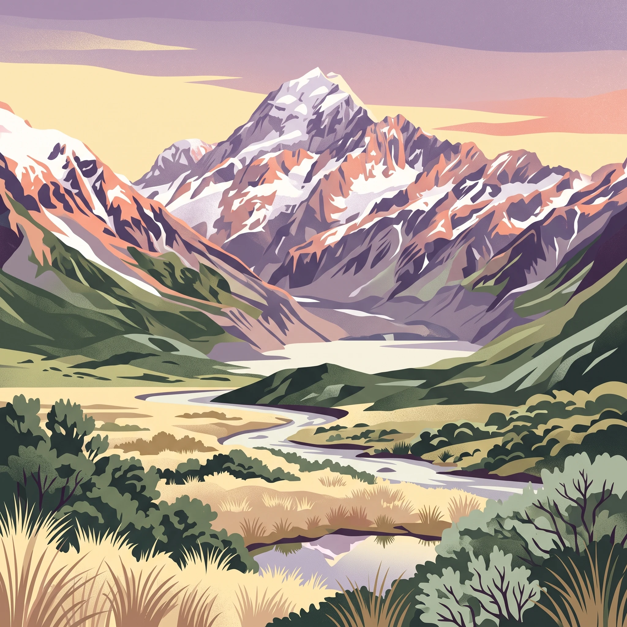
Aoraki / Mount Cook National Park represents New Zealand's most significant alpine protected area, encompassing a landscape of extraordinary geological and ecological diversity along the Main Divide of the Southern Alps. The park stretches approximately 60 kilometers along the southern Alps, protecting the southeastern side of this major mountain range. At its heart stands Aoraki / Mount Cook, the nation's highest mountain at 3,724 meters, surrounded by a collection of peaks that form one of the most concentrated alpine environments in the world. The park's landscape is fundamentally shaped by glaciation, with glaciers covering 40 percent of the terrain and leaving behind the characteristic U-shaped valleys visible throughout the Hooker and Tasman Valleys. Beyond the dramatic mountain scenery, the park supports remarkable biodiversity, with over 400 plant species and approximately 35 bird species recorded within its boundaries. The area holds deep significance for Ngāi Tahu, whose traditional connections to the landscape are reflected in the dual naming of geographic features throughout the park. The park also serves as a gateway to one of New Zealand's most significant landscapes, with Mount Cook Village providing visitor facilities and access to the extensive network of walking tracks and mountaineering routes that explore this remarkable alpine environment.

Location
New Zealand
Park type
National park
Established
1953
Area
707 km²
Highest point
3,724 m
Aoraki / Mount Cook National Park Protected Landscape
1 guide

Compare thematic resources and seasonal visit planning references.

Published Guides for Aoraki / Mount Cook National Park

Browse the complete collection of published guides covering Aoraki / Mount Cook National Park for targeted park research. Each focused resource addresses specific visitor inquiries regarding optimal seasons, weather conditions, and landscape photography opportunities.
MoriAtlas Explorer

Continue Exploring the Geographic Identity of Aoraki / Mount Cook National Park

Deepen your understanding of Aoraki / Mount Cook National Park's unique protected landscape and its place within the Southern Alps' complex geography. Examine its mapped features, glacial terrain, and regional context to grasp its full environmental significance. This structured approach offers insights into the park's natural formation and its role as a critical protected area within New Zealand's atlas of natural landscapes.