
Mori Atlas logo
Nature reserveApalachicola National Estuarine Research Reserve

Analyzing the ecological boundaries and coastal terrain of a vital Gulf of Mexico protected area.

Apalachicola National Estuarine Research Reserve: Mapped Landscapes and Estuarine Geography of Florida

Apalachicola National Estuarine Research Reserve encompasses a complex, water-defined environment along the Florida Gulf Coast where Apalachicola Bay serves as a critical junction for biological diversity. The reserve protects a mosaic of oyster reefs, seagrass beds, and tidal marshes that define the local estuarine transition zone. Scientific focus on benthic habitat mapping and water quality monitoring provides a detailed understanding of the submerged terrain and the shifting salinity patterns that sustain this working coastal landscape.

estuarycoastal reservegulf of mexicoapalachicola bayoyster reefsseagrass beds
A flat-style digital illustration showing a winding river flowing through a deep valley, with a waterfall cascading from a high cliff and evergreen trees lining the landscape.

Apalachicola National Estuarine Research Reserve

Nature reserve

Park overview

Structured park overview, official facts, and landscape profile for Apalachicola National Estuarine Research Reserve

Apalachicola National Estuarine Research Reserve park facts, protected area profile, and essential visitor context

Review the core facts for Apalachicola National Estuarine Research Reserve, including designation, size, terrain, visitor scale, habitats, and operating context in one park-focused overview.

About Apalachicola National Estuarine Research Reserve

The Apalachicola National Estuarine Research Reserve sits along Florida's Gulf Coast, encompassing waters and habitats associated with Apalachicola Bay, a broad, shallow, and exceptionally productive estuarine system. The reserve's defining purpose is to protect the biological diversity of the bay along with the economic and ecological value of its natural resources, ensuring that the conditions which make the estuary so productive remain intact.

Apalachicola Bay is shaped by the mixing of freshwater flowing out of the Apalachicola River system with salty Gulf waters, creating a gradient of estuarine habitats that range from freshwater tidal reaches to open bay. Oyster reefs, seagrass beds, and expansive tidal marshes all contribute to a food web that supports both resident and migratory species. The reserve's footprint covers representative examples of these habitats, allowing researchers and managers to study the bay as an integrated system rather than as isolated patches.

The reserve is administered in cooperation with the National Oceanic and Atmospheric Administration's National Estuarine Research Reserve System, and it functions as a living laboratory where scientific work, environmental education, and coastal management intersect. The combination of monitoring infrastructure, GIS capacity, and an engaged local community makes the Apalachicola Reserve an important node for estuarine science in the southeastern United States.

Quick facts and research context for Apalachicola National Estuarine Research Reserve

The Apalachicola National Estuarine Research Reserve is a federal-state partnership in Florida's panhandle region that protects Apalachicola Bay, one of the most productive estuaries in the northern Gulf of Mexico. It is a working reserve where conservation, commercial fishing, and applied research coexist, and where the health of the estuary is directly tied to a regionally significant seafood industry. Long-term monitoring, habitat mapping, and GIS-based coastal management tools are central to how the reserve operates.

Protection and recognition

Examine documented marine protection details and official conservation designations.

Apalachicola National Estuarine Research Reserve Protection Status And Marine Scope

Apalachicola National Estuarine Research Reserve maintains a defined marine protection scope without additional international recognition listings. Review structured conservation facts and administrative parameters for this coastal protected area.

Protection details

Protection scope
Marine
Transboundary protection
No
Park context

Deeper park guide and search-rich context for Apalachicola National Estuarine Research Reserve

Apalachicola National Estuarine Research Reserve history, landscape, wildlife, and travel context

Explore Apalachicola National Estuarine Research Reserve through its history, landscape character, ecosystems, wildlife, conservation priorities, cultural context, and seasonal travel timing in a structured park guide built for atlas discovery and search intent.

Why Apalachicola National Estuarine Research Reserve stands out

The Apalachicola Reserve is best known for safeguarding Apalachicola Bay, a highly productive Gulf of Mexico estuary whose oyster reefs, seagrass beds, and tidal marshes support a major commercial fishery. The reserve's tight connection between estuarine biodiversity and a working seafood economy gives it a distinctive identity within the National Estuarine Research Reserve System. Its long-running focus on fisheries science, benthic habitat mapping, and water-quality monitoring has also made it a reference site for estuarine research.
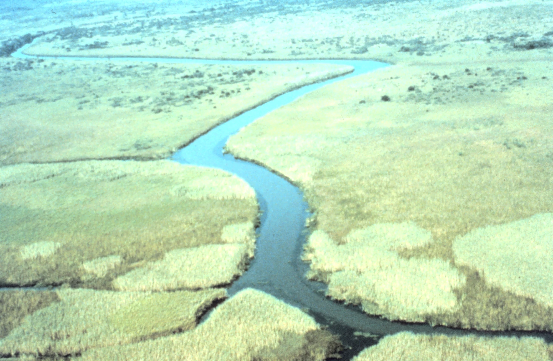
A high-angle aerial view of a winding river channel cutting through extensive salt marshes and wetlands.
An aerial perspective of the marshy waterways within the Apalachicola National Estuarine Research Reserve.

Apalachicola National Estuarine Research Reserve history and protected-area timeline

The Apalachicola National Estuarine Research Reserve was established as part of the National Estuarine Research Reserve System, a federal-state partnership created to protect and study estuarine environments in the United States. Over time, the reserve built up a layered set of programs, from water-quality monitoring stations and benthic habitat mapping in Apalachicola Bay to fisheries-focused research and educational outreach. Its history reflects a steady investment in long-term datasets, GIS tools, and place-based learning that allow managers and scientists to track changes in the estuary over years and decades.

The reserve's development has also been shaped by the close relationship between the bay and the surrounding communities. Because a large share of local livelihoods depend on fishing in reserve waters, the reserve's research and monitoring programs have consistently emphasized the practical management of commercial fisheries, including studies of the estuarine food chain that ultimately supports oyster, shrimp, and finfish harvests.

Apalachicola National Estuarine Research Reserve landscape and geographic character

The landscape of the Apalachicola Reserve centers on Apalachicola Bay itself: a broad, shallow embayment on Florida's Gulf Coast where the Apalachicola River once delivered freshwater and sediment in large quantities, shaping the bay's salinity patterns and bottom structure. The bay's bottom is a mosaic of oyster reef, seagrass, and soft sediment, while its edges grade into tidal marshes, mudflats, and fringing uplands that together define the estuarine transition zone.

Landforms in and around the reserve are largely low-lying and water-defined. There are no dramatic elevations; instead, the scenery is shaped by expansive open water, tangled marsh, and the sinuous channels that convey tidal flow. Wetland edges and submerged aquatic vegetation contribute to much of the visible texture of the bay, while the productive shallows that make the system so productive are also an important part of how the bay is experienced by visitors and researchers.

Apalachicola National Estuarine Research Reserve ecosystems, habitats, and plant life

The reserve's ecological identity is defined by a productive, river-influenced Gulf of Mexico estuary. Apalachicola Bay supports a mosaic of estuarine habitats, including intertidal and subtidal oyster reefs, seagrass meadows, soft-bottom communities, tidal marshes, and adjacent uplands. These habitats interlock to form a continuous gradient from freshwater to marine conditions, giving the reserve unusually high habitat diversity for a coastal protected area of its size.

The estuary's high productivity underpins much of its ecological importance. Nutrient-rich freshwater inflows historically fueled the growth of phytoplankton, microalgae, and seagrass, which in turn support filter-feeding oysters, grazing marine invertebrates, and a rich community of small forage species. The result is an estuarine food web with strong bottom-up energy flow, where the integrity of upstream hydrology, water quality, and benthic habitat is closely linked to the overall health of the system.

Apalachicola National Estuarine Research Reserve wildlife and species highlights

Apalachicola Bay supports a rich estuarine food web that includes commercially and ecologically important shellfish, finfish, and forage species. Oysters are a keystone biological and economic species, forming reef structures across the bay that provide habitat for many other organisms. Shrimp, crabs, and assorted finfish species move through the estuary at different life stages, taking advantage of the marshes and seagrass beds as nursery habitat before moving toward the open Gulf.

Beyond the invertebrates and fish, the reserve's marshes and shallow waters attract wading birds, shorebirds, and a variety of waterfowl, along with the predator species that follow them. Across the food web, the reserve's value is not just in the presence of these species individually, but in the way the interconnected habitats of the bay sustain them through their full life cycles.

Apalachicola National Estuarine Research Reserve conservation status and protection priorities

From a conservation perspective, the Apalachicola Reserve matters because it protects one of the most productive estuaries in the northern Gulf of Mexico at a moment when coastal ecosystems face intensifying pressure. Apalachicola Bay's combination of high biodiversity, major commercial fishery value, and tight coupling to its watershed gives it outsized regional importance, and the reserve's long-term presence helps anchor a sustained, science-based management response.

The reserve contributes to conservation through continuous water-quality monitoring, detailed benthic habitat mapping, and research aimed at understanding the estuarine food chain that supports commercial fisheries. Its GIS infrastructure allows researchers and coastal managers to visualize habitat change over time, supporting decisions about oyster reef restoration, freshwater inflow management, and broader ecosystem stewardship. Educational programming extends this conservation reach into the community, helping link local understanding of the bay to long-term stewardship.

Apalachicola National Estuarine Research Reserve cultural meaning and human context

The cultural context of the Apalachicola Reserve is inseparable from the working waterfront traditions of the Florida panhandle. Apalachicola has a long identity as a fishing community, and a large share of residents still depend on the bay's seafood resources for their livelihood. This gives the reserve a distinctly working-coast character, where protection of the estuary is understood not as an abstract ecological goal but as the foundation of a regional economy and way of life.

Top sights and standout views in Apalachicola National Estuarine Research Reserve

A federal-state estuarine reserve focused on Apalachicola Bay in the Florida panhandle, protecting both biological diversity and a regionally significant fishing economy. Distinctive strengths include extensive benthic habitat mapping, long-term water-quality monitoring, a sophisticated GIS capability, and research that links the estuarine food chain directly to commercial fisheries management.

Best time to visit Apalachicola National Estuarine Research Reserve

Because the reserve's value lies in its estuarine ecosystems rather than season-specific scenery, visits can be rewarding across much of the year. Cooler months often bring comfortable conditions for outdoor exploration and good birdwatching along the marshes and bay edges, while warmer months highlight the bay's productivity and active fishing culture. Visitors interested in seeing the estuary at its most biologically expressive may find spring and early summer appealing, when many estuarine species are most active, though conditions can vary year to year.
Monthly climate preview

Track long-term temperature ranges and monthly precipitation patterns across the reserve coordinate.

Apalachicola National Estuarine Research Reserve Climate Normals And Weather By Month

Historical data records monthly average temperatures spanning from fifteen degrees up to twenty-eight degrees Celsius alongside varying daily precipitation rates. Examining the full twelve-month profile provides deeper context for long-term meteorological patterns at a representative coordinate.
Annual mean22 °C
15 °C29 °C
Jan15°
Feb16°
Mar18°
Apr21°
May24°
Jun27°
Jul28°
Aug29°
Sep27°
Oct24°
Nov20°
Dec17°
Warmest month
August

28.6 °C

Coolest month
January

15 °C

Wettest month
August

6.8 mm/day

Driest month
May

2.2 mm/day

Park location guide

Geography guide, regional context, and park location map for Apalachicola National Estuarine Research Reserve

Apalachicola National Estuarine Research Reserve park geography, regions, and map view in United States of America

Understand where Apalachicola National Estuarine Research Reserve sits in United States of America through a broader geographic reading of the surrounding landscape, nearby location context, and its mapped position within the national park landscape.

How Apalachicola National Estuarine Research Reserve fits into United States of America

The United States of America is a federal presidential republic and one of the world's largest countries by area and population. It consists of 50 states across a vast territory spanning multiple time zones, with its capital in Washington, D.C. and largest city in New York City. The nation has a diverse economy, influential political system, and significant cultural and military presence globally.

Wider geography shaping Apalachicola National Estuarine Research Reserve in United States of America

The United States occupies a vast territory in North America, bordered by Canada to the north and Mexico to the south. The 48 contiguous states stretch from the Atlantic to the Pacific Ocean, while Alaska occupies the northwestern region and Hawaii is an archipelago in the Pacific. The country encompasses diverse terrain including the Rocky Mountains, Appalachian Mountains, Great Plains, and extensive river systems.

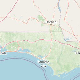
Map view of Apalachicola National Estuarine Research Reserve

Use this park location map to pinpoint Apalachicola National Estuarine Research Reserve in United States of America, understand its exact geographic position, and read its mapped placement within the surrounding landscape more clearly.

Pigeon | © OpenStreetMap contributors

Location context for Apalachicola National Estuarine Research Reserve

Florida

Visual reference for coastal habitats, bay waters, and tidal marsh landscapes

Apalachicola National Estuarine Research Reserve Photos and Protected Scenery

Examinations of Apalachicola National Estuarine Research Reserve images reveal the intricate network of oyster reefs, seagrass beds, and tidal marshes defining the Gulf Coast. Visualizing these protected estuarine environments helps researchers and visitors understand local habitat character and coastal geography more clearly.

A high-angle aerial view of a winding river channel cutting through extensive salt marshes and wetlands.

Park atlas

Compare nearby coastal wetlands, estuarine reserves, and surrounding natural landscapes

Parks Near Apalachicola National Estuarine Research Reserve and Regional Protected Areas

Browse protected areas and coastal reserves situated across the surrounding region to compare regional habitats. Discover adjacent natural landscapes and evaluate ecological connections beyond Apalachicola National Estuarine Research Reserve.
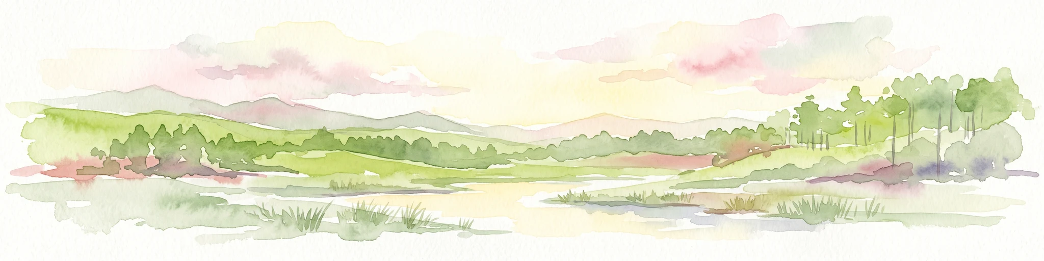
A watercolor illustration of a coastal landscape with a sandy shoreline, soft green dunes, and a gentle pink horizon against a white background.
Protected landscapeFlorida
About 170 km away#1 closest

West

Gulf Islands National Seashore: Mapped Landscapes and Protected Coastal Geography

Coastal terrain across Florida, Alabama, and Mississippi.

Spanning diverse units across the Gulf Coast, Gulf Islands National Seashore preserves dynamic barrier islands and mainland reserves. This geographic profile traces the quartz-sand beaches, maritime ecosystems, and historic defense networks that form this protected landscape, providing context on its unique geologic and environmental evolution.

Area
548.179 km²
Established
1971
IUCN
V
Visitors
8.3M annual
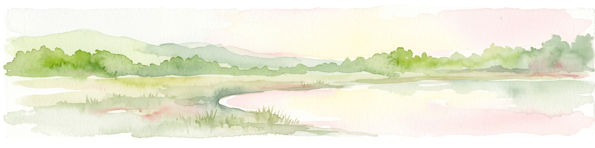
A watercolor painting showing a soft, stylized landscape with rolling green hills, a small river or stream, and a hazy sky at sunrise or sunset.
Protected landscapeFlorida
About 194 km away#2 closest

East

Osceola National Forest: Mapping the Protected Landscapes and Geography of Northeast Florida

Pine flatwoods, cypress swamps, and historic wilderness terrain

Osceola National Forest serves as a protected landscape in northeast Florida, defined by its extensive pine flatwoods and cypress-hardwood swamp mosaics. The forest provides vital habitat for wildlife like the Florida black bear and red-cockaded woodpecker, while preserving significant historical narratives. Its geography, marked by low elevations and slow-moving water, creates an expansive natural environment for ecological observation and regional exploration.

Area
772.67 km²
Established
1931
Relief
Lowland
Climate
Subtropical
A horizontal watercolor painting depicting a soft-toned, light-filled forest landscape with a calm body of water in the foreground and rolling treed hills in the background.
Protected landscapeFlorida
About 293 km away#3 closest

East

Ocala National Forest: A Comprehensive Look at Florida's Largest National Forest Landscape

Protected scrub ecosystems and hydric river networks

Explore the geographic expanse of Ocala National Forest, the oldest national forest east of the Mississippi. This protected area features the vast Big Scrub, a unique sand pine ecosystem that anchors a diverse terrain of longleaf pine, blackwater rivers, and crystal-clear springs across multiple Florida counties.

Area
1,741.96 km²
Established
1908
Relief
Lowland
Climate
Subtropical
Protected landscapeMacon County
About 317 km away#4 closest

North

Tuskegee National Forest: A Protected Landscape in Macon County, Alabama

Mapped geography and forest terrain in the American South

Tuskegee National Forest represents a concentrated pocket of protected land in Macon County, Alabama. As the smallest national forest in the country, it provides a dense network of trails and stream terraces that demonstrate how compact forests sustain regional biodiversity and outdoor recreation.

Area
45.54 km²
Established
1959
Relief
Upland
Climate
Subtropical
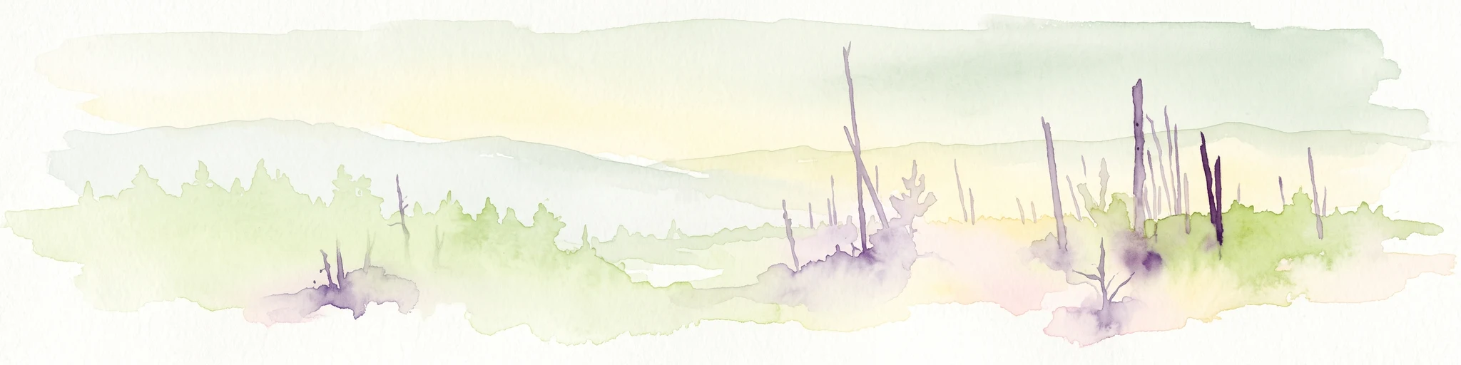
A pale watercolor landscape painting featuring silhouetted dead trees against a soft, light-colored prairie background.
Wildlife reserveMarion County
About 317 km away#5 closest

East

Juniper Prairie Wilderness: Wildlife Reserve Geography and Mapped Protected Landscapes

Central Florida ecological preserve in Marion County

Covering over 13,000 acres, Juniper Prairie Wilderness preserves a transition of ecosystems from dry pine scrub to wet sawgrass flats. This wildlife reserve in Marion County provides essential protection for the Juniper River drainage basin and its first-magnitude springs, offering a dense study of central Florida natural history and terrain.

Area
54 km²
Established
1984
IUCN
Ib
Relief
Lowland
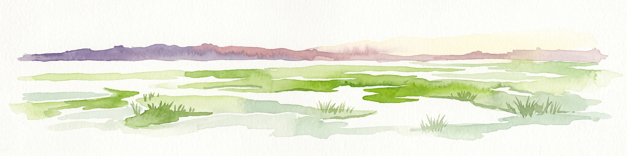
A horizontal watercolor painting depicting a flat, green coastal marsh with distant purple hills under a pale sky.
Wildlife reserveMississippi
About 344 km away#6 closest

West

Grand Bay National Estuarine Research Reserve: Mississippi Coastal Protected Area Geography

Mapping estuarine ecosystems and coastal forest mosaics

Focusing on the interface between the Mississippi Sound and terrestrial habitats, this reserve protects a vital expanse of estuarine waters, oyster reefs, and pine savanna. Its geography highlights the dynamic interaction of tidal channels, shoreline erosion, and fire-dependent ecosystems within the broader Gulf of Mexico coastal region.

Area
74 km²
Established
1999
IUCN
IV
Relief
Lowland
A soft watercolor painting of a coastal scene with sandy dunes, pine trees, and palmetto bushes against a pale, warm-toned sky.
Protected areaGeorgia
About 347 km away#7 closest

East

Cumberland Island National Seashore: Protected Barrier Island Geography and Mapping

A wild coastal landscape on the southeastern Georgia shoreline

Cumberland Island National Seashore stands as a significant protected area on the Atlantic coast, defined by its lack of paved roads and vehicle-free status. The geography spans a complex array of habitats, including maritime forests, tidal creeks, and salt marshes, anchored by historic estates. This protected landscape represents an essential case study in coastal barrier island ecology and preserved historic environments.

Area
147.368 km²
Established
1972
IUCN
II
Visitors
60.3K annual
Nature reserveFlorida
About 350 km away#8 closest

East

Guana Tolomato Matanzas National Estuarine Research Reserve: Florida Nature Reserve Atlas

Protected estuarine geography and coastal river convergence

Discover the geographic complexity of this research-driven protected area, where freshwater and saltwater environments converge along the Florida coastline. The reserve features an intricate network of tidal creeks, pine flatwoods, and coastal dunes, providing a unique look into the regional ecology of the Carolinian marine bioregion and its significant role in maritime conservation science.

Area
296.46 km²
Established
1999
IUCN
IV
Relief
Lowland

Common questions about visiting, size, designation, and location context for Apalachicola National Estuarine Research Reserve

Apalachicola National Estuarine Research Reserve FAQs for park facts, access, geography, and protected area context

Find quick answers about Apalachicola National Estuarine Research Reserve, including protected-area facts, park geography, trail and visitor context, and how the park fits into its surrounding country and regional landscape.
MoriAtlas Explorer

Continue Your Protected Areas Search Across the Global Atlas

Deepen your exploration by continuing the structured search for national parks and protected areas worldwide. Utilize the comprehensive filtering capabilities to compare different conservation landscapes and refine your understanding of global park geography. Discover more about the distribution and characteristics of protected natural areas.

Global natural geography