Mori Atlas logo
Nature reserveGuana Tolomato Matanzas National Estuarine Research Reserve

A regional estuarine convergence spanning river corridors, coastal marshes, and maritime habitats.

Guana Tolomato Matanzas National Estuarine Research Reserve Protected Landscape and Geography

The Guana Tolomato Matanzas National Estuarine Research Reserve represents a complex mosaic of protected ecosystems where the Guana, Tolomato, and Matanzas river systems meet the Atlantic Ocean in northeast Florida. This expansive nature reserve encompasses over seventy thousand acres of diverse terrain, including brackish impoundments like Guana Lake, pine flatwoods, maritime hammocks, and barrier-beach dune fields. As a core component of the regional Carolinian marine bioregion, the area provides essential habitat for estuarine wildlife and serves as a vital calving ground for the North Atlantic right whale.

estuarine reservecoastal reserveriver estuarymangrovespine flatwoodsmaritime hammock

Guana Tolomato Matanzas National Estuarine Research Reserve

Nature reserve

Park overview

Structured park overview, official facts, and landscape profile for Guana Tolomato Matanzas National Estuarine Research Reserve

Guana Tolomato Matanzas National Estuarine Research Reserve park facts, protected area profile, and essential visitor context

Review the core facts for Guana Tolomato Matanzas National Estuarine Research Reserve, including designation, size, terrain, visitor scale, habitats, and operating context in one park-focused overview.

About Guana Tolomato Matanzas National Estuarine Research Reserve

Guana Tolomato Matanzas National Estuarine Research Reserve is a large coastal protected area in northeast Florida that was established to conserve the ecological character of where three river systems meet the Atlantic Ocean. Stretching across parts of St. Johns and Flagler counties, with St. Augustine as its nearest city, the reserve includes upland habitats behind the barrier shoreline as well as the estuarine waters and marshes of the Guana, Tolomato, and Matanzas rivers.

The reserve is part of NOAA's National Estuarine Research Reserve system, a nationwide network designed for long-term research, monitoring, and education in estuarine environments. GTM represents the east Florida portion of the Carolinian bioregion, a North American coastal classification zone defined by warm-temperate marine influence and distinctive plant and animal communities. Within this framework, the reserve functions as both a working scientific site and a place where the public can engage with coastal ecology directly through visitor facilities, trails, and education programs.

A defining characteristic of GTM is the diversity of habitats compressed into one reserve system. Uplands include pine flatwoods, maritime hammocks, coastal strands, dunes, and mangrove communities, while the lower portions embrace saltwater estuaries, brackish impoundments, and freshwater lake environments. The reserve also integrates land-based preserves such as the Guana Tract, Pellicer Creek Aquatic Preserve, Washington Oaks Gardens State Park, Faver-Dykes State Park, Fort Matanzas National Monument, and several smaller conservation areas, creating an unusually broad and connected conservation landscape along northeast Florida.

The reserve's mission explicitly links research and stewardship, emphasizing the use of monitoring and scientific findings to guide land management and public education. By weaving university research programs, state agency administration, federal oversight through NOAA, and active community participation, GTM operates as more than a passive reserve. It is an applied coastal laboratory where biodiversity conservation, water quality monitoring, sea level research, and endangered species protection all take place within the same boundary that welcomes visitors to explore its trails and waterways.

Quick facts and research context for Guana Tolomato Matanzas National Estuarine Research Reserve

The Guana Tolomato Matanzas National Estuarine Research Reserve is among roughly thirty National Estuarine Research Reserves administered under NOAA, and is one of three such reserves in Florida. It was federally designated in 1999 and now encompasses about 73,000 acres of coastal and inland habitat across St. Johns and Flagler counties.

The reserve sits between St. Augustine and Jacksonville along State Road A1A, where the Guana, Tolomato, and Matanzas rivers meet the Atlantic Ocean. It is managed by the Florida Department of Environmental Protection's Florida Coastal Office and is connected to a wider network of state aquatic preserves, conservation areas, national monuments, and university research institutions along the northeast Florida coast.

Protection and recognition

Documented protection history and management scope established in 1999

Guana Tolomato Matanzas National Estuarine Research Reserve Protection Status

Guana Tolomato Matanzas National Estuarine Research Reserve maintains a mixed protection scope established through designated records from 1999. Structured conservation tracking compiles management details and official administrative recognition for this protected landscape.

Protection details

Protection scope
Mixed
Designated year
1999
Transboundary protection
No
Park context

Deeper park guide and search-rich context for Guana Tolomato Matanzas National Estuarine Research Reserve

Guana Tolomato Matanzas National Estuarine Research Reserve history, landscape, wildlife, and travel context

Explore Guana Tolomato Matanzas National Estuarine Research Reserve through its history, landscape character, ecosystems, wildlife, conservation priorities, cultural context, and seasonal travel timing in a structured park guide built for atlas discovery and search intent.

Why Guana Tolomato Matanzas National Estuarine Research Reserve stands out

The reserve is best known for protecting a major estuarine transition zone where multiple Florida rivers meet the Atlantic Ocean, creating a mosaic of saltwater, brackish, and freshwater habitats within a single reserve boundary. It also plays a notable role in whale conservation, hosting one of the few known calving grounds for the endangered North Atlantic right whale off the U.S. southeast coast. Beyond its estuarine identity, GTM is recognized for encompassing unusually varied coastal habitats, including pine flatwoods, maritime hammocks, coastal strands, dunes, and mangroves, all within a contiguous reserve system. Its combination of research-driven management, on-site environmental education, and collaboration with universities such as the University of North Florida's Whitney Laboratory gives it a profile that is more scientific and stewardship-oriented than most conventional parks.
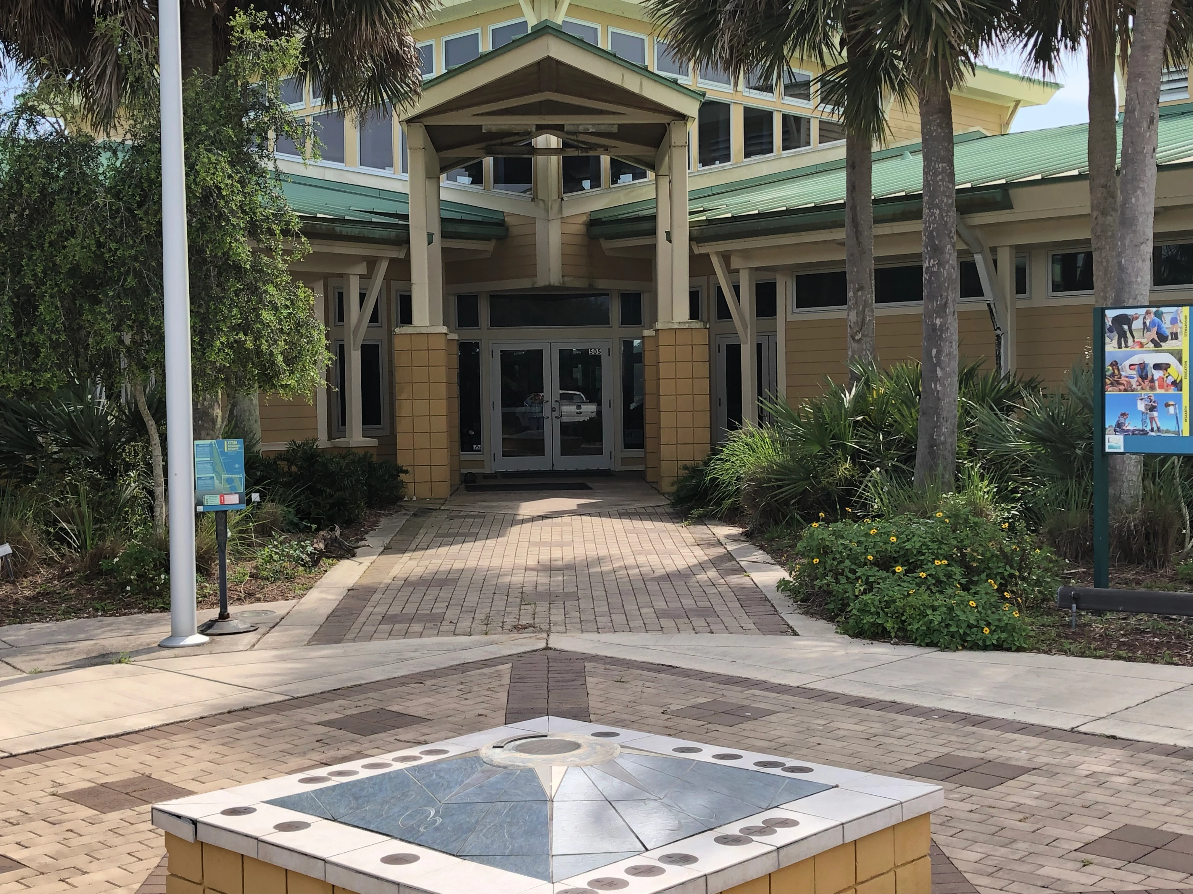
The entrance to the visitor center building at Guana Tolomato Matanzas National Estuarine Research Reserve, featuring a paved walkway, a compass-themed tiled pedestal in the foreground, and palm trees.
The main visitor center entrance at the Guana Tolomato Matanzas National Estuarine Research Reserve.

Guana Tolomato Matanzas National Estuarine Research Reserve history and protected-area timeline

The land that now forms the reserve was privately owned before state acquisition, when it was used informally for hunting and fishing. In 1957, the Guana River was dammed during the period of private ownership to flood upstream marshes, creating what is now known as Guana Lake. The lake is brackish near its southern end at Guana Dam and transitions toward freshwater conditions further upstream, a pattern that has shaped the area's distinctive fish communities and continues to influence the reserve's ecology.

In 1984, the State of Florida purchased the property from Gate Petroleum using Conservation and Recreational Lands and Save Our Coast funds. The acquired land was divided between Guana River State Park and the adjacent Guana River Wildlife Management Area. The state park component existed for nearly two decades before the property's conservation trajectory changed again with the federal designation of the surrounding area as a National Estuarine Research Reserve.

The Guana Tolomato Matanzas National Estuarine Research Reserve was officially designated on August 19, 1999 as part of NOAA's National Estuarine Research Reserve system. In 2004, as the new GTM Environmental Education Center was being built, management responsibility for the former Guana River State Park lands was transferred to the research reserve, integrating the state park tract into the larger reserve. Today the former park lands are administered and managed as part of GTM, completed the shift from a primarily recreational site to a research-driven coastal reserve.

Guana Tolomato Matanzas National Estuarine Research Reserve landscape and geographic character

GTM Research Reserve's landscape is shaped by the meeting of river and ocean along northeast Florida. The reserve boundary stretches along the Guana, Tolomato, and Matanzas river corridors and includes a long stretch of the adjacent Atlantic shoreline. This setting creates a layered transition from freshwater to brackish to saltwater conditions, with estuarine marshes, tidal creeks, and barrier-beach environments defining the lower portions of the reserve.

A notable inland feature is Guana Lake, the impoundment created in 1957 by damming the Guana River. The lake shifts gradually from brackish water near the dam toward freshwater farther upstream, blurring the line between freshwater and marine aquatic systems. Upland terrain adds a different kind of complexity, with pine flatwoods, maritime hammocks, coastal strands and dunes, and mangrove patches creating a mosaic of plant communities and soil conditions typical of the Carolinian coastal plain.

Along the coast, the reserve integrates barrier-beach scenery, dune fields, and intracoastal waterway segments, including areas linked to the Tolomato River, the Atlantic Ocean, and adjoining state parks and preserves. The southern components of the reserve, including Pellicer Creek, Washington Oaks, Faver-Dykes, and Fort Matanzas, add forested uplands, saltmarsh creek corridors, and historic shoreline features to the broader landscape profile.

Guana Tolomato Matanzas National Estuarine Research Reserve ecosystems, habitats, and plant life

Ecologically, the reserve represents an unusually complete slice of the east Florida coastal sub-region of the Carolinian marine bioregion. Within GTM, freshwater lake environments, brackish impoundments, tidal marsh systems, mangrove fringes, coastal strand vegetation, dune communities, maritime hammocks, and pine flatwoods all occur within a single protected boundary, allowing ecological interactions across salinity gradients and elevation zones to be studied side by side.

Saltwater and freshwater fish species are known to coexist in Guana Lake because of its brackish-to-fresh transition, which is one of the reserve's most distinctive estuarine features. The varied plant communities also sustain specialized habitats: pine flatwoods support adapted ground-layer species and fire-maintained ecological cycles, while maritime hammocks provide dense shade and refugia for coastal forest species, and mangrove patches contribute to the brackish shoreline ecosystem.

The reserve's habitats are influenced by their proximity to the Intracoastal Waterway and the Atlantic Ocean, which means tidal processes, salinity shifts, storms, sea-level change, and longshore currents are all part of the ecological picture. This makes the reserve an important reference site for understanding how Carolinian coastal ecosystems function, and how they may respond to climate-driven and human-driven change over time.

Guana Tolomato Matanzas National Estuarine Research Reserve wildlife and species highlights

GTM supports a wide range of coastal and estuarine wildlife, including many species that depend on the convergence of freshwater and marine environments for part of their life cycle. Aquatic and amphibious species such as dolphins, manatees, sea turtles, gopher tortoises, American alligators, indigo snakes, and North American river otters are regularly associated with the reserve's waters and adjacent lands.

The reserve stands out for its role in marine mammal conservation, particularly as a recognized calving ground for the endangered North Atlantic right whale. This makes the offshore and nearshore waters within and adjacent to the reserve a site of significant scientific and conservation interest for cetacean researchers.

Birdlife is another major element of the reserve's wildlife profile. In addition to raptors such as peregrine falcons and bald eagles, GTM supports diverse diving and wading birds, including brown and white pelicans, wood storks, and roseate spoonbills. The reserve also provides habitat for the endangered Anastasia Island beach mouse, whose survival depends on the persistence of intact barrier-beach ecosystems along this stretch of Florida's coast.

Guana Tolomato Matanzas National Estuarine Research Reserve conservation status and protection priorities

As a National Estuarine Research Reserve, GTM operates under a conservation model that ties long-term monitoring and research directly to land management decisions. The reserve's official mission reflects this approach, framing biodiversity conservation and cultural resource protection as outcomes that should be guided by ongoing scientific study and adaptive stewardship rather than by static preservation alone.

The reserve's conservation significance is amplified by its connection to surrounding protected areas, including the Pellicer Creek Aquatic Preserve, Washington Oaks Gardens State Park, Faver-Dykes State Park, Fort Matanzas National Monument, Matanzas State Forest, and other state conservation lands. Together, these places form a network of nearly continuous coastal protection along northeast Florida, allowing GTM's conservation work to extend well beyond its formal boundary.

Climate-related themes are also increasingly central to the reserve's conservation role. Sea level rise, shoreline change, water quality shifts, and the protection of species sensitive to coastal change, including the North Atlantic right whale and the Anastasia Island beach mouse, give the reserve an active conservation agenda that reaches outward through educational programming, university partnerships, and coordination with state and federal agencies.

Guana Tolomato Matanzas National Estuarine Research Reserve cultural meaning and human context

The reserve overlaps with a coastal region of long human history, connecting its ecological setting to centuries of regional settlement, maritime activity, and indigenous presence. The landscape contains features tied to early human use of northeast Florida, including archaeological sites, shell middens at locations such as Shell Bluff Landing and Wright's Landing, and a prehistoric earthen burial mound.

These cultural traces coexist within GTM alongside more recent Coastal Florida heritage, including the historic Fort Matanzas National Monument, the River to Sea Preserve at Marineland, and Princess Place Preserve. Their inclusion in or alongside the reserve reflects the deliberate integration of natural and cultural resource stewardship within GTM's broader conservation mission.

Top sights and standout views in Guana Tolomato Matanzas National Estuarine Research Reserve

The reserve's strongest distinguishing features include its multi-river estuarine geography, where the Guana, Tolomato, and Matanzas rivers converge with the Atlantic Ocean, and its designation as a National Estuarine Research Reserve within NOAA's nationwide network. Within this setting, the brackish-to-freshwater transition of Guana Lake, the right whale calving grounds offshore, and the diversity of Carolinian habitats compressed into one boundary together make GTM unusually distinctive among coastal reserves.

Additional highlights include the integrated conservation network surrounding the reserve, anchored by Fort Matanzas National Monument, Washington Oaks Gardens State Park, Faver-Dykes State Park, and several smaller preserves, and the reserve's dual emphasis on research and public engagement through the GTM Environmental Education Center and an extensive trail system along State Road A1A.

Best time to visit Guana Tolomato Matanzas National Estuarine Research Reserve

The reserve's coastal northeast Florida climate supports visits throughout much of the year, though seasonal variation meaningfully shapes the visitor experience. Cooler months tend to bring active waterfowl and heightened wildlife viewing opportunities, while warmer months emphasize estuarine boating, beach exploration, and sea turtle activity along the coast. Migration periods along the Atlantic flyway are particularly notable for birdwatching, while the right whale calving season offshore adds marine wildlife interest during the cooler half of the year.
Monthly climate preview

Long-term annual temperature and precipitation patterns across representative park coordinates

Guana Tolomato Matanzas National Estuarine Research Reserve Climate Normals and Weather by Month

Guana Tolomato Matanzas National Estuarine Research Reserve records measured monthly temperature and precipitation normals derived from long-term representative coordinate sampling. Analyzing the complete twelve-month climatology profile reveals comprehensive variations in annual temperature and precipitation rhythm.
Annual mean22 °C
15 °C28 °C
Jan15°
Feb16°
Mar18°
Apr21°
May24°
Jun27°
Jul28°
Aug28°
Sep27°
Oct24°
Nov20°
Dec17°
Warmest month
July

27.6 °C

Coolest month
January

15.2 °C

Wettest month
June

6 mm/day

Driest month
November

2.1 mm/day

Park location guide

Geography guide, regional context, and park location map for Guana Tolomato Matanzas National Estuarine Research Reserve

Guana Tolomato Matanzas National Estuarine Research Reserve park geography, regions, and map view in United States of America

Understand where Guana Tolomato Matanzas National Estuarine Research Reserve sits in United States of America through a broader geographic reading of the surrounding landscape, nearby location context, and its mapped position within the national park landscape.

How Guana Tolomato Matanzas National Estuarine Research Reserve fits into United States of America

The United States of America is a federal presidential republic and one of the world's largest countries by area and population. It consists of 50 states across a vast territory spanning multiple time zones, with its capital in Washington, D.C. and largest city in New York City. The nation has a diverse economy, influential political system, and significant cultural and military presence globally.

Wider geography shaping Guana Tolomato Matanzas National Estuarine Research Reserve in United States of America

The United States occupies a vast territory in North America, bordered by Canada to the north and Mexico to the south. The 48 contiguous states stretch from the Atlantic to the Pacific Ocean, while Alaska occupies the northwestern region and Hawaii is an archipelago in the Pacific. The country encompasses diverse terrain including the Rocky Mountains, Appalachian Mountains, Great Plains, and extensive river systems.

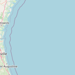
Map view of Guana Tolomato Matanzas National Estuarine Research Reserve

Use this park location map to pinpoint Guana Tolomato Matanzas National Estuarine Research Reserve in United States of America, understand its exact geographic position, and read its mapped placement within the surrounding landscape more clearly.

Pigeon | © OpenStreetMap contributors

Location context for Guana Tolomato Matanzas National Estuarine Research Reserve

Florida

Visual exploration of coastal marshes, river estuaries, and protected habitats

Guana Tolomato Matanzas National Estuarine Research Reserve Photos and Scenery

Visual documentation of Guana Tolomato Matanzas National Estuarine Research Reserve reveals the intricate terrain of northeast Florida coastal ecosystems. Photographic records illustrate the diverse transition zones connecting river corridors, brackish impoundments, and Atlantic shorelines.

The entrance to the visitor center building at Guana Tolomato Matanzas National Estuarine Research Reserve, featuring a paved walkway, a compass-themed tiled pedestal in the foreground, and palm trees.

A man and a woman walking away from the camera along a shaded, dirt hiking trail through a dense forest.

Park atlas

Compare adjacent coastal protected areas and regional conservation landscapes

Parks Near Guana Tolomato Matanzas National Estuarine Research Reserve

Browse nearby national parks and protected areas sharing the surrounding coastal ecosystem geography. Comparing adjacent reserves reveals broader regional patterns in estuarine habitats, tidal river corridors, and barrier island terrain.
A horizontal watercolor painting depicting a soft-toned, light-filled forest landscape with a calm body of water in the foreground and rolling treed hills in the background.
Protected landscapeFlorida
About 66 km away#1 closest

Southwest

Ocala National Forest: A Comprehensive Look at Florida's Largest National Forest Landscape

Protected scrub ecosystems and hydric river networks

Explore the geographic expanse of Ocala National Forest, the oldest national forest east of the Mississippi. This protected area features the vast Big Scrub, a unique sand pine ecosystem that anchors a diverse terrain of longleaf pine, blackwater rivers, and crystal-clear springs across multiple Florida counties.

Area
1,741.96 km²
Established
1908
Relief
Lowland
Climate
Subtropical
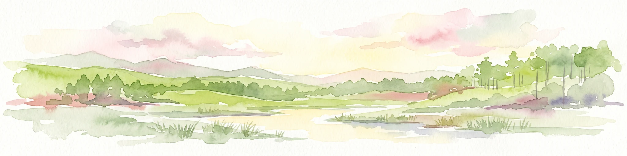
A watercolor painting showing a soft, stylized landscape with rolling green hills, a small river or stream, and a hazy sky at sunrise or sunset.
Protected landscapeFlorida
About 71 km away#2 closest

West

Osceola National Forest: Mapping the Protected Landscapes and Geography of Northeast Florida

Pine flatwoods, cypress swamps, and historic wilderness terrain

Osceola National Forest serves as a protected landscape in northeast Florida, defined by its extensive pine flatwoods and cypress-hardwood swamp mosaics. The forest provides vital habitat for wildlife like the Florida black bear and red-cockaded woodpecker, while preserving significant historical narratives. Its geography, marked by low elevations and slow-moving water, creates an expansive natural environment for ecological observation and regional exploration.

Area
772.67 km²
Established
1931
Relief
Lowland
Climate
Subtropical
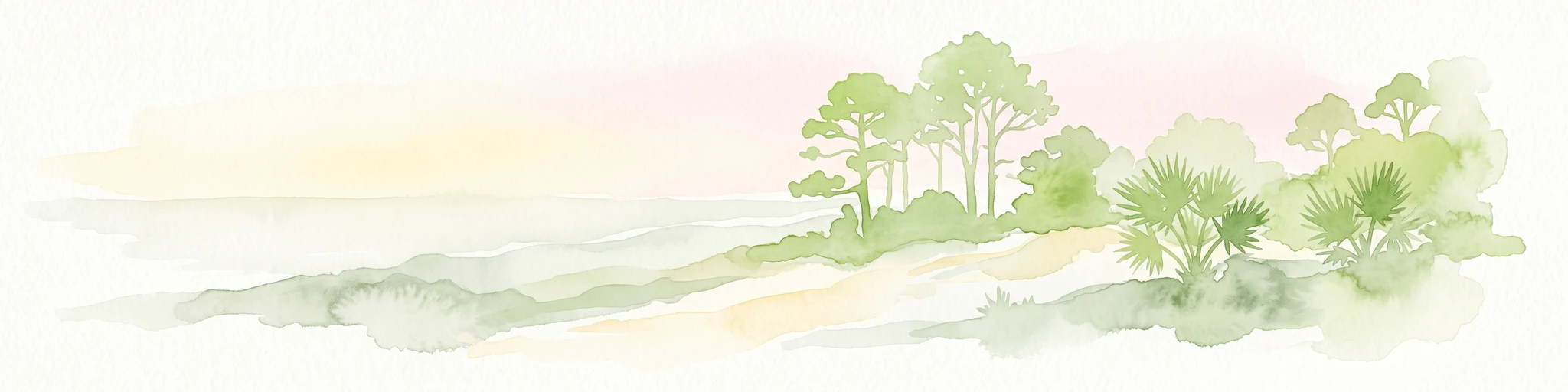
A soft watercolor painting of a coastal scene with sandy dunes, pine trees, and palmetto bushes against a pale, warm-toned sky.
Protected areaGeorgia
About 81 km away#3 closest

North

Cumberland Island National Seashore: Protected Barrier Island Geography and Mapping

A wild coastal landscape on the southeastern Georgia shoreline

Cumberland Island National Seashore stands as a significant protected area on the Atlantic coast, defined by its lack of paved roads and vehicle-free status. The geography spans a complex array of habitats, including maritime forests, tidal creeks, and salt marshes, anchored by historic estates. This protected landscape represents an essential case study in coastal barrier island ecology and preserved historic environments.

Area
147.368 km²
Established
1972
IUCN
II
Visitors
60.3K annual
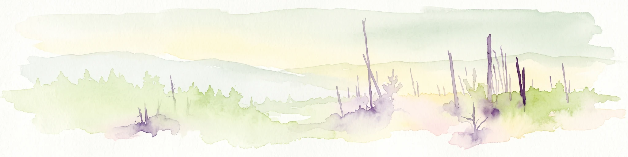
A pale watercolor landscape painting featuring silhouetted dead trees against a soft, light-colored prairie background.
Wildlife reserveMarion County
About 87 km away#4 closest

South

Juniper Prairie Wilderness: Wildlife Reserve Geography and Mapped Protected Landscapes

Central Florida ecological preserve in Marion County

Covering over 13,000 acres, Juniper Prairie Wilderness preserves a transition of ecosystems from dry pine scrub to wet sawgrass flats. This wildlife reserve in Marion County provides essential protection for the Juniper River drainage basin and its first-magnitude springs, offering a dense study of central Florida natural history and terrain.

Area
54 km²
Established
1984
IUCN
Ib
Relief
Lowland
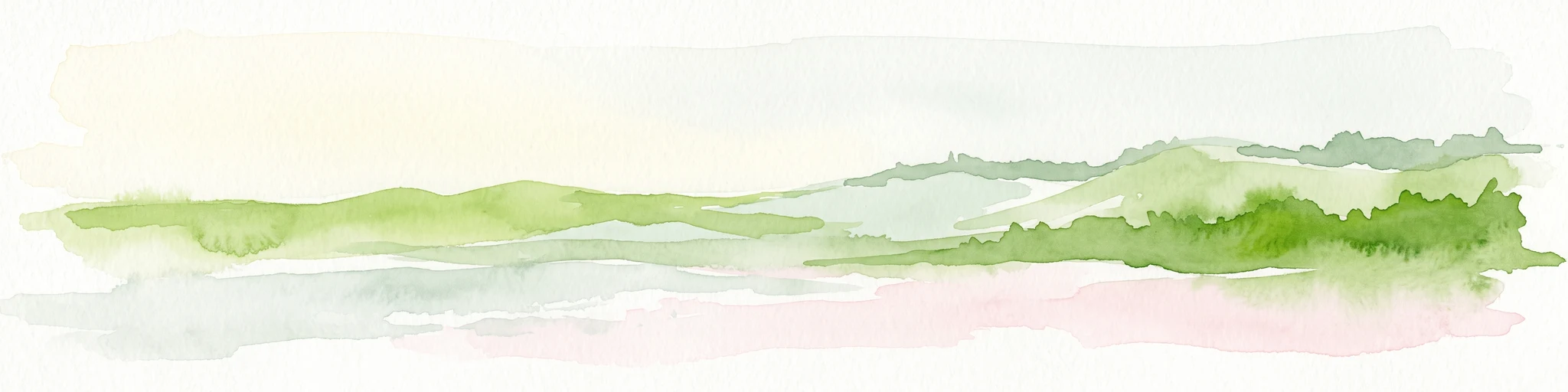
A minimalist watercolor illustration showing green rolling hills and a shoreline against a pale background, representing the natural coastal landscape.
Protected landscapeFlorida
About 146 km away#5 closest

South

Canaveral National Seashore Protected Landscape and Barrier Island Geography

Coastal ecosystems of the Florida Atlantic shore

Canaveral National Seashore stands as a significant protected landscape on the Florida coast, offering a cross section of barrier island geography. This protected area connects the dynamic Atlantic oceanfront with the calm, biodiverse waters of the Mosquito Lagoon, forming a vital refuge of dunes, maritime hammocks, and estuarine wetlands.

Area
233.35 km²
Established
1975
IUCN
V
Visitors
2.5M annual
Marine protected areaGeorgia
About 158 km away#6 closest

North

Gray's Reef National Marine Sanctuary: Continental Shelf Geography and Reef Mapping

Submerged sandstone ridges and Atlantic marine habitat

Gray's Reef National Marine Sanctuary protects one of the largest near-shore live-bottom reefs in the southeastern United States. This submerged landscape consists of sandstone ledges rising above the sandy seafloor, fostering a unique three-dimensional habitat that supports a diverse range of marine invertebrates and fish species across its 22-square-mile protected boundary.

Area
57 km²
Established
1981
IUCN
IV
Relief
Lowland
A minimalist watercolor painting showing a vast coastal marshland with meandering tidal creeks and green islands under a bright, open sky.
Nature reserveSouth Carolina
About 290 km away#7 closest

North

Ashepoo Combahee Edisto Basin National Estuarine Research Reserve: Mapped Protected Area

Coastal river convergence and tidal marsh geography

Spanning 140,000 acres of the South Carolina Lowcountry, this estuarine reserve protects a unique intersection of blackwater river systems and Atlantic coastal marshlands. The area provides a vital habitat for various species, where historic plantation lands, cypress swamps, and productive salt marshes form one of the largest undeveloped estuarine complexes on the United States eastern seaboard.

Area
570 km²
Relief
Lowland
Climate
Subtropical
Access
Access unknown
Watercolor painting of a meandering river flowing through a green marshland with rolling hills in the background under a pale sky.
Nature reserveFlorida
About 350 km away#8 closest

West

Apalachicola National Estuarine Research Reserve: Florida Protected Estuary and Coastal Geography

Exploring the tidal marshes and benthic habitats of Florida's Gulf Coast.

Apalachicola National Estuarine Research Reserve offers a deep look into the coastal geography of the Florida panhandle. As a protected area, it manages the complex intersection of estuarine food chains, commercial fishing zones, and vital wetland habitats, utilizing advanced GIS capabilities to map the bay's submerged reefs and tidal channels.

Relief
Lowland
Climate
Subtropical
Scope
Marine
Water
Water-dominated

Common questions about visiting, size, designation, and location context for Guana Tolomato Matanzas National Estuarine Research Reserve

Guana Tolomato Matanzas National Estuarine Research Reserve FAQs for park facts, access, geography, and protected area context

Find quick answers about Guana Tolomato Matanzas National Estuarine Research Reserve, including protected-area facts, park geography, trail and visitor context, and how the park fits into its surrounding country and regional landscape.
MoriAtlas Explorer

Continue Your Protected Areas Search Across the Global Atlas

Deepen your exploration by continuing the structured search for national parks and protected areas worldwide. Utilize the comprehensive filtering capabilities to compare different conservation landscapes and refine your understanding of global park geography. Discover more about the distribution and characteristics of protected natural areas.

Global natural geography