
Browse the mosaic of riverine floodplains, forest canopy, and freshwater wetland systems
Catalog of Identified Natural Features and Geographic Landmarks in Barmah National Park
This collection serves as a focused index for the distinct natural features associated with Barmah National Park. It organizes landforms and aquatic environments, including the expansive river red gum floodplain forest, freshwater marshes, and riverine habitats along the Murray River boundary. Use this structured data to trace the geographic distribution and specific character of environmental features defining this protected region.
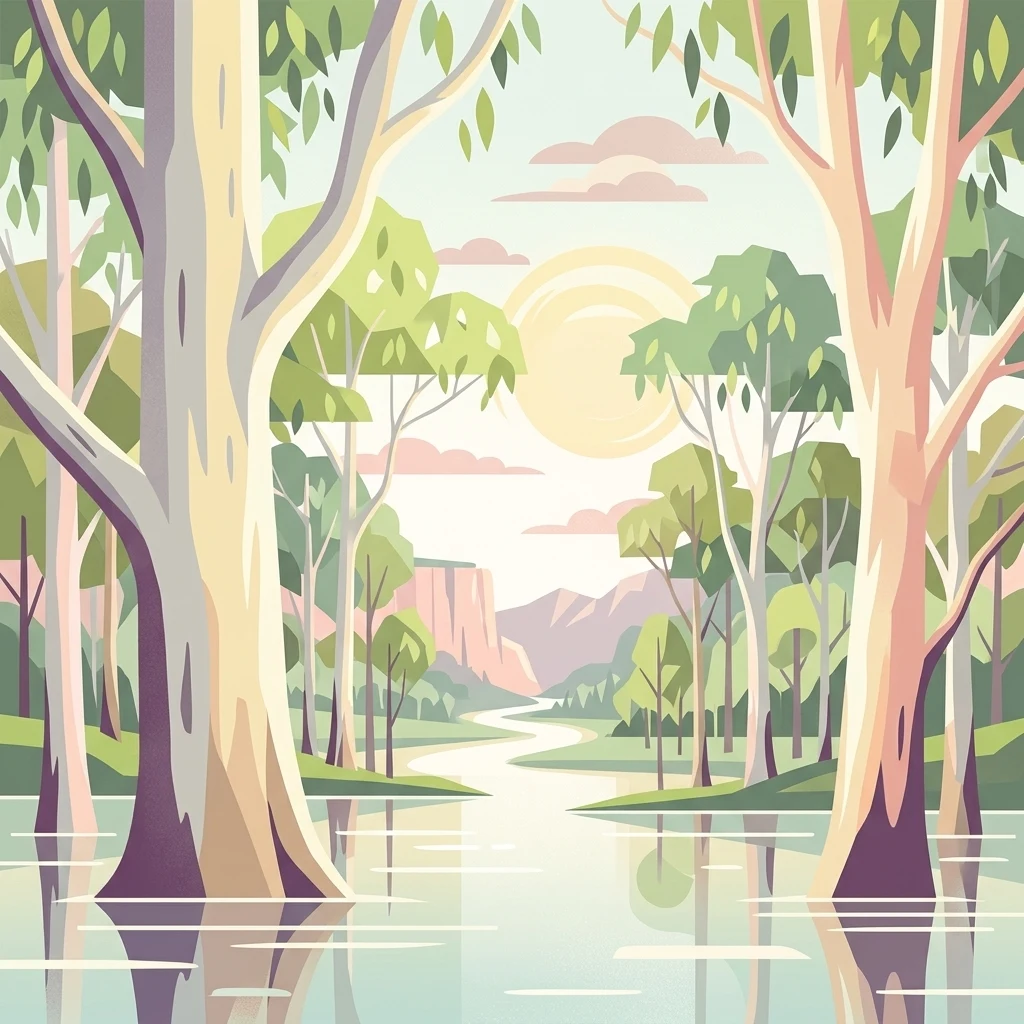
Mapping the unique wetlands, river systems, and islands of the Murray River floodplain
Geographic Features and Waterways Associated with Barmah National Park
Geographic analysis of park watercourses
Rivers
Examine the distribution and physical characteristics of river features associated with Barmah National Park. This overview provides spatial context for the park's floodplain systems, illustrating how natural watercourses interact with the red gum forests and wetland areas to sustain a distinct ecological mosaic.
Continue Exploring Barmah National Park's Geographic and Protected Landscape Context
Delve deeper into the unique mapped terrain and regional geography of Barmah National Park, understanding its significance as a protected landscape and vital wetland. This exploration provides structured insights into the park's natural setting, its ecological importance within the Murray River system, and its place in the broader atlas of protected areas. Discover the distinct characteristics that define this exceptional natural environment.