
Mori Atlas logo
Park guides

Explore focused insights on visiting seasons and terrain management for this protected desert landscape.

Comprehensive Guide Collection for Big Bend National Park in Brewster County

This collection provides accessible resources for Big Bend National Park, covering seasonal timing and navigation across the diverse Chihuahuan Desert and Chisos Mountain ecosystems. These guides offer structured context for understanding the environmental factors and geological features of this expansive protected landscape.

Related tags

Chihuahuan DesertChisos MountainsInternational Dark-Sky ParkRio GrandeBirdwatching

The wild heart of the Chihuahuan Desert, where mountains rise from the desert and the Rio Grande carves ancient canyons

Big Bend National Park

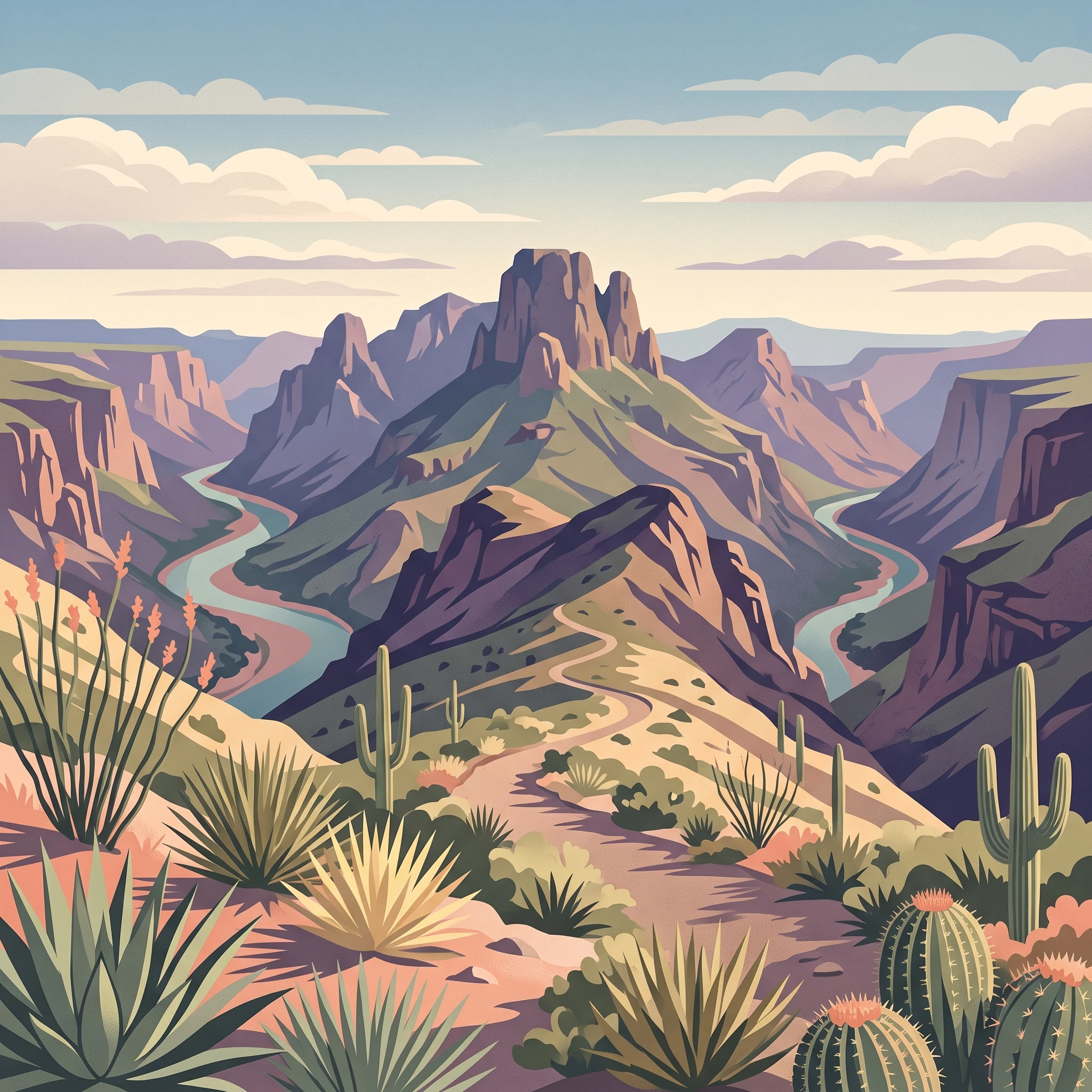
Big Bend National Park represents one of the most significant protected areas in the United States for preserving Chihuahuan Desert ecosystems and geological heritage. Located in remote West Texas along the United States-Mexico border, the park encompasses an extraordinary diversity of landscapes, from the scorching desert valleys and mesas to the cool, forested slopes of the Chisos Mountains. The park's strategic location at the convergence of multiple ecological zones, combined with its dramatic topography created by millions of years of geological activity, has produced a landscape of remarkable scientific and scenic value. The Rio Grande, which forms the international boundary, has carved spectacular canyons through the desert, creating natural corridors that have supported human habitation and wildlife for thousands of years. The park's isolation and vast size have helped preserve both natural and cultural resources, from prehistoric archaeological sites dating back nearly 10,000 years to the historic ranching and mining communities that once operated in the region. Visitors to Big Bend encounter a landscape that feels simultaneously ancient and untamed, where the forces of erosion, volcanism, and ecological adaptation have created one of the most distinctive protected environments in North America.

Location
United States of America
Park type
National park
Established
1944
Area
3,242.2 km²
Highest point
2,387 m
Big Bend National Park Atlas
1 guide

Compare thematic resources addressing seasonal timing, desert conditions, and trail access.

Published Guides for Big Bend National Park and Desert Exploration

Published reference materials provide focused insights into seasonal timing, extreme desert temperatures, and winter hiking conditions across the Chihuahuan landscape. Readers can examine specific planning topics to match individual questions regarding park access and weather constraints.
MoriAtlas Explorer

Continue Exploring Big Bend National Park's Geography and Protected Landscape

Deepen your understanding of Big Bend National Park by exploring its specific geographic features and protected landscape context. This detailed park entry serves as a critical point for comprehending its role within Brewster County's broader regional geography and natural terrain atlas. Further your discovery of this significant protected area and its mapped territory.

Global natural geography