Mori Atlas logo
Park earthquake history

Examine documented seismic events, magnitude patterns, and epicentre distances in the Werra-Meißner region.

Historical Catalogue of Recorded Earthquakes Near Bilstein im Höllental, Hessen

This collection provides a structured archive of earthquake events recorded in proximity to the Bilstein im Höllental nature reserve. Each entry reflects USGS-derived data, including event timing, recorded magnitude, and calculated distance from the diabase cliff landscape. This archive offers a focused perspective on historical regional seismicity without characterizing future geological trends or site-specific risks.

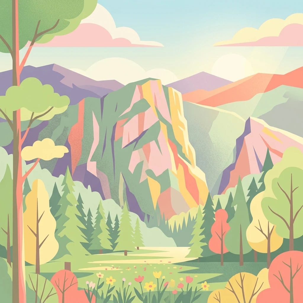
A stylized vector illustration of a mountainous landscape featuring prominent rocky cliffs, a forest of evergreen and deciduous trees, and a sunlit meadow in the foreground with pastel-colored clouds.

A small but ecologically rich volcanic cliff rising above the Berka valley in northern Hesse.

Bilstein im Höllental

Bilstein im Höllental is a small, ecologically important protected area in the northern part of Hesse, Germany. It sits in the lower Werra hill country along the Berka valley near Albungen, in the Werra-Meißner-Kreis, and is centered on a striking 284-meter cliff of Devonian-age diabase that rises almost sheer above the narrow valley floor. The reserve preserves a rare combination of warm rock habitats, steep rocky slopes, and a contrasting shady ravine forest on the shaded faces of the cliff. Despite its very small size of about 3.24 hectares, the area carries significant weight in regional nature conservation. It has been protected in stages since 1914, was formally designated a nature reserve in 1960, and was incorporated into the European Natura 2000 network as a Fauna-Flora-Habitat site in 2008. The site is often cited as one of the most important relict rock habitats in Hesse for rare and threatened cliff-dwelling species of plants, ferns, mosses, lichens, and butterflies. A medieval castle of the once-powerful Counts of Bilstein once stood on the rocky summit. Today only a few wall fragments and a preserved tower stump remain, adding a layered cultural-historical dimension to what is otherwise a focused natural-area reserve. The landscape is part of the Geo-Naturpark Frau-Holle-Land and is closely connected to the surrounding Werra-Meißner natural region.

Location
Germany
Park type
Nature reserve
Established
1960
Area
0 km²
Highest point
284 m
Explore Bilstein im Höllental Nature Reserve

Trace Bilstein im Höllental records by date, magnitude, depth, place, and distance

Examine recorded earthquake history around Bilstein im Höllental

Bilstein im Höllental’s earthquake records use reported epicentres and calculated site distance, not an assumption that every event occurred within the cliff reserve. Users can examine timing, magnitude, depth, reported place, separation, and source links as historical evidence without claiming rock or valley effects, seismic causation, current risk, or future activity.

Sort by
Magnitude
Location

This page describes catalogued earthquakes associated with the park by epicentre location and distance. It does not establish causation, assess current danger, or predict future earthquakes.

No earthquake records match the current filters

Park atlas

Broaden discovery beyond the Bilstein im Höllental earthquake catalogue

Explore further protected parks after Bilstein im Höllental

The atlas continues from the Bilstein im Höllental earthquake entries to a distinct group of protected park pages. Inclusion does not imply shared German landscapes, rock formations, legal categories, earthquake observations, geology, geographic closeness, seismic relevance, hazards, or risk.
A wide watercolor illustration of a rolling landscape with green fields, patches of pink flowers, and distant purple hills under a pale sky.
Nature reserveWerra-Meißner-Kreis
About 2.6 km away#1 closest

Southeast

Jestädter Weinberg: Protected Zechstein Cliffs and Werra River Valley Mosaic

A botanical and geological hotspot in northern Hesse

Jestädter Weinberg represents a critical protected landscape defined by its steep dolomite rock faces and sun-exposed slopes. This nature reserve provides an essential habitat for orchids and diverse insect populations, bridging the gap between high-altitude limestone ridges and the riparian meadows of the Werra river valley.

Area
0.6 km²
Established
1924
IUCN
IV
Relief
Upland
A horizontal watercolor painting showing a soft, muted landscape with rolling hills, a central open area, and clusters of green trees under a pale sky.
Nature reserveWerra-Meißner-Kreis
About 3.9 km away#2 closest

West

Kripp- und Hielöcher Nature Reserve: Karst Geography and Protected Land in Werra-Meißner-Kreis

Geology-focused nature reserve featuring gypsum sinkholes and dry grasslands.

Kripp- und Hielöcher provides a rare look at Zechstein gypsum karst in Hesse. The reserve is split into two distinct areas, the Kripplöcher and Hielöcher, showcasing natural rock monuments, active karst springs, and a historical cultural landscape maintained through centuries of traditional land use.

Area
0.17 km²
Relief
Upland
Climate
Temperate
Access
Moderate access
Watercolor painting of a mountain landscape with green slopes, coniferous forests, and rocky outcroppings under a soft, light-filled sky.
Nature reserveHesse
4.9 km away#3 closest

West

Meißner Nature Reserve in Northern Hesse: Mapping the Hoher Meißner Basaltic Massif

A comprehensive look at forest wilderness, bogs, and volcanic geology

Covering roughly 930 hectares, the Meißner nature reserve in northern Hesse protects an ecologically distinct upland landscape. The area features a significant basalt plateau, ancient scree slopes, mountain meadows, and hanging spring bogs, offering a prime example of protected central German topography and forest wilderness.

Area
9.322 km²
Established
1989
IUCN
IV
Relief
Mountain
Wide watercolor illustration of green trees and hills with purple mountains in the background under a pale sky.
Nature reserveThuringia
6.4 km away#4 closest

Northeast

Stein, Rachelsberg, Gobert: A Protected Limestone Landscape in Western Thuringia

Mapping a historic nature reserve and beech forest complex

Stein, Rachelsberg, Gobert stands as a key protected area within Thuringia. This nature reserve offers deep insights into limestone ridge geography, historic border woodland continuity, and diverse habitats ranging from dry grasslands to tufa springs and orchid-rich beech forests.

Area
7.16 km²
Established
1999
IUCN
IV
Relief
Mountain
A horizontal watercolor illustration depicting gentle rolling hills, grassy meadows, and distant mountain silhouettes in muted pastel tones.
Nature reserveThuringia
7.6 km away#5 closest

North

Röhrsberg - Hasenwinkel - Mühlberg: Mapping the Protected Landscapes of Thuringia

Geological ridge systems and native forest habitat networks.

The Röhrsberg - Hasenwinkel - Mühlberg nature reserve represents a significant protected area in Thuringia, characterized by the juxtaposition of Muschelkalk limestone hills and Zechstein dolomite ridges. This site offers a concentrated view of regional terrain, shifting from closed beech forests to open juniper heaths. It serves as an essential geographic reference for understanding the ecological mosaic of the lower Werra hill country.

Area
4.51 km²
Established
1999
IUCN
IV
Relief
Upland
Watercolor painting of a green landscape with rolling hills, a winding path or stream, and trees on both sides against a light background.
Nature reserveWerra-Meißner-Kreis
About 7.6 km away#6 closest

Northeast

Kalkklippen südlich des Iberges Nature Reserve and Muschelkalk Landscape Atlas

Protected beech forests and active landslide topography

This nature reserve in Werra-Meißner-Kreis reveals an active Muschelkalk ridge characterized by steep limestone cliffs and boulder-strewn talus slopes. Study the site's unique ecological composition, featuring noble hardwood-rich beech forests and native European yew populations that highlight the region's complex natural history and geological significance.

Area
0.473 km²
Established
1995
IUCN
IV
A soft, light-colored watercolor painting of a rolling hilly landscape with sparse trees and open grassy meadows.
Nature reserveWerra-Meißner-Kreis
About 7.9 km away#7 closest

West

Bühlchen bei Weißenbach Nature Reserve: Protected Limestone Grasslands in Werra-Meißner-Kreis

Geographic atlas of a historic juniper heath and limestone hilltop.

Bühlchen bei Weißenbach represents a rare, semi-open cultural landscape shaped by centuries of sheep grazing on shell limestone summits. This nature reserve, integrated into the Natura 2000 network, offers a dense concentration of rare orchids and gentians across its rocky, nutrient-poor slopes, serving as a critical site for regional ecological study and landscape preservation.

Area
0.08 km²
Established
1985
IUCN
IV
Relief
Mountain
A watercolor painting showing a soft, stylized landscape with rolling hills in the background and a variety of bushes and wild vegetation in the foreground.
Nature reserveWerra-Meißner-Kreis
About 8.5 km away#8 closest

East

Mönchesrieth bei Grebendorf Nature Reserve in Werra-Meißner-Kreis, Germany

A restored wetland refuge in the Werra river floodplain.

Located in northern Hesse, Mönchesrieth bei Grebendorf is a protected nature reserve formed by the flooding of a former gravel extraction site. Its geography features a network of shallow bays and shoreline vegetation that provide essential nesting and foraging grounds for waterbirds within the busy Werra valley corridor. The site represents a successful transition from industrial terrain to a quiet, managed refuge for regional biodiversity.

Area
0.181 km²
Established
1999
IUCN
IV
Relief
Lowland
MoriAtlas Explorer

Continue Exploring the Geographic Landscape of Bilstein im Höllental

Deepen your understanding of how this nature reserve uses its unique diabase cliff to maintain diverse microclimates within the wider MoriAtlas regional dataset. Examine the mapped boundaries and terrain context of this Hessen protected area to see how geology dictates local ecological patterns.