Mori Atlas logo
Park earthquake history

A compiled catalogue of USGS earthquake data documented near the prairie landscape

Historical Earthquake Records and Seismic Activity for Black Kettle National Grassland

Browse a detailed collection of recorded seismic events associated by proximity to the Black Kettle National Grassland. This dataset provides factual information regarding event timing, magnitude, and epicentre location, assisting in the geographic review of seismic patterns within the Oklahoma and Texas plains. Each entry reflects archived USGS information detailing terrestrial vibrations noted in the vicinity of these restored mixed-grass habitats.

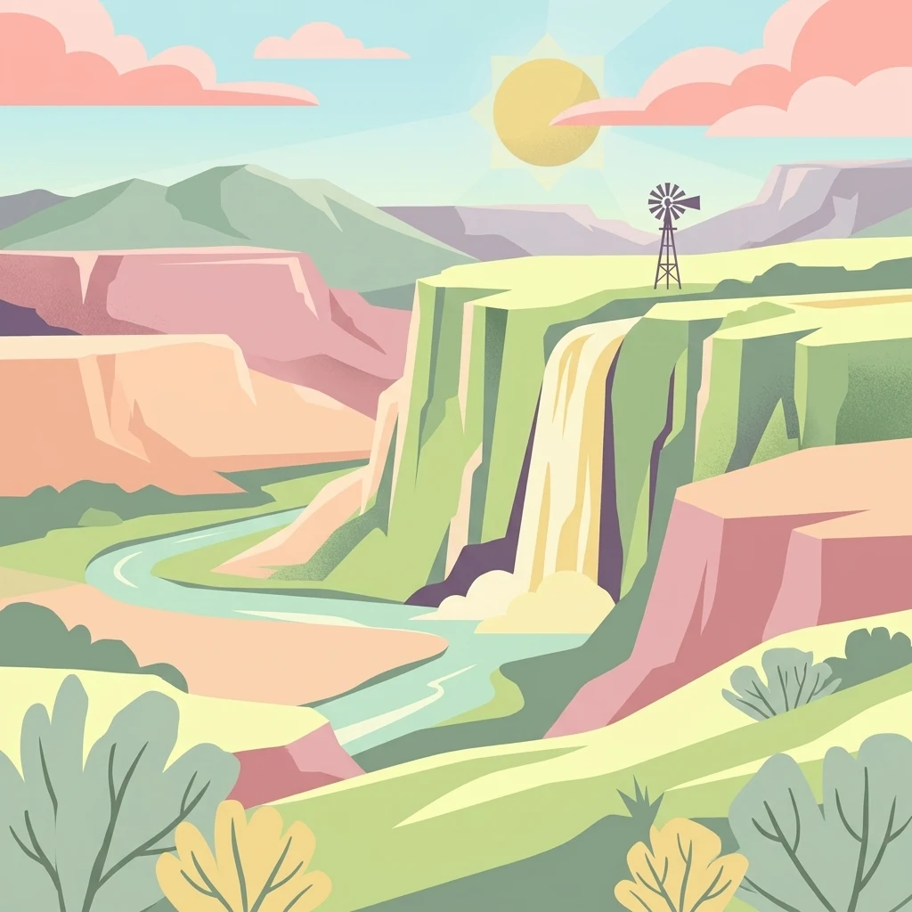
A flat-style digital illustration of a canyon landscape with a river, a waterfall, and a windmill on a cliff top under a sunny sky.

Mixed-grass prairie named for a Southern Cheyenne leader, restored from Dust Bowl farmland.

Black Kettle National Grassland

Black Kettle National Grassland is a federally protected tract of mixed-grass prairie in Roger Mills County, Oklahoma, with a smaller portion extending into Hemphill County, Texas. Spanning roughly 31,000 acres across about 100 scattered parcels interspersed with private ranchland, it preserves a representative sample of one of the most altered ecosystems in North America. The terrain combines sandy soils, red slate hills, oak brush, and wooded creek bottoms, threaded by the headwaters of the Washita River. The grassland is named for the Southern Cheyenne chief Mo'ohtavetoo'o, who was killed along the Washita during the 1868 Battle of the Washita led by George Armstrong Custer. The land was once part of the Cheyenne and Arapaho reservation, was opened to private farming in 1892, and was abandoned after the Dust Bowl. The federal government acquired the failed farmland and, beginning in 1938, restored it as grassland before formally designating it as a National Grassland in 1960. Today the area is managed by the U.S. Forest Service and co-managed with Oklahoma as a wildlife management area. It supports white-tailed deer, turkey, and quail, and serves as recreation, grazing, and energy-producing land, while also preserving a significant remnant of the southern Great Plains prairie ecosystem.

Location
United States of America
Park type
Wildlife reserve
Established
1960
Area
126.6 km²
Black Kettle National Grassland Atlas

Inspect Black Kettle National Grassland records by date, depth, place, and distance

Search historical earthquake observations near Black Kettle National Grassland

Black Kettle National Grassland’s earthquake view associates reported epicentres with its southern Great Plains tracts by calculated distance, without connecting seismic activity to prairie restoration, red hills, or the Washita River. Each entry supplies its date, magnitude, depth, locality, source, and grassland distance for historical review rather than boundary, impact, or current-hazard claims.

Sort by
Magnitude
Location

This page describes catalogued earthquakes associated with the park by epicentre location and distance. It does not establish causation, assess current danger, or predict future earthquakes.

No earthquake records match the current filters

Park atlas

Expand discovery beyond the Black Kettle National Grassland earthquake catalogue

Find additional protected parks after Black Kettle National Grassland

The records associated with Black Kettle National Grassland lead into an independent collection of protected park pages. The destinations are not represented as sharing prairie environments, United States geography, legal designation, earthquake observations, geology, proximity, seismic relevance, hazards, or risk.
Protected landscapeTexas
91 km away#1 closest

West

McClellan Creek National Grassland: Protected Landscape and Texas Geography Atlas

Restored shortgrass prairie and riparian reservoir geography

Located in the Texas Panhandle, McClellan Creek National Grassland serves as a critical example of soil conservation and shortgrass prairie restoration. The protected area features open, rolling plains surrounding the impounded McClellan Lake, providing a focused look at the environmental history and geographic character of the southern Great Plains.

Area
5.86 km²
Water
Minor water
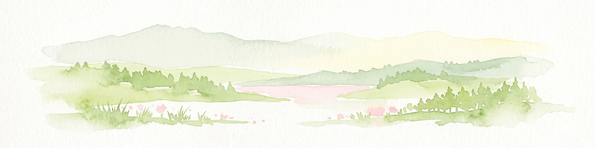
A watercolor illustration of a landscape with a central lake reflecting soft pink hues, surrounded by green rolling hills and pine forests under a hazy sky.
Protected areaTexas
123 km away#2 closest

West

Lake Meredith National Recreation Area: An Atlas Guide to Texas Panhandle Canyon Landscapes

Geography of the Canadian River reservoir and High Plains terrain

Analyze the topography of Lake Meredith National Recreation Area, where the Canadian River has sculpted deep canyons through the flat Texas High Plains. The site serves as a vital protected area for both water-based recreation and the preservation of arid, canyon-rim habitats near the Alibates Flint Quarries.

Area
182.02 km²
Established
1990
Visitors
1.3M annual
Relief
Upland
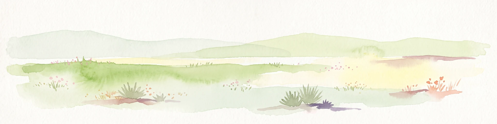
A pale, soft watercolor illustration of a wide, open prairie with gentle rolling hills in the background, low shrubs, and grasses in the foreground.
Protected areaKansas
179 km away#3 closest

Northwest

Cimarron National Grassland: Mapping the Largest Protected Area in Kansas

Shortgrass prairie geography and historical riparian landscapes

Spanning over 100,000 acres in southwestern Kansas, Cimarron National Grassland serves as a major ecological refuge within the Great Plains. The protected area features a unique terrain characterized by sand sagebrush uplands, cottonwood-forested bottomlands, and the winding course of the Cimarron River. This mapping data highlights the intersection of modern wildlife conservation and the remnants of the historic Santa Fe Trail.

Area
437.77 km²
Established
1960
Relief
Upland
Climate
Arid
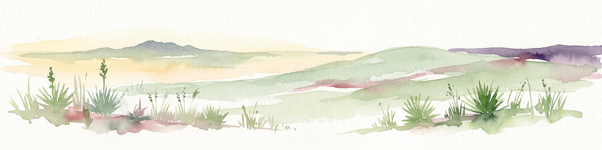
A horizontal watercolor painting showing a soft, stylized view of open, rolling grassland under a hazy sky, with yucca-like plants in the foreground.
Wildlife reserveTexas
186 km away#4 closest

West

Rita Blanca National Grassland: Protected Shortgrass Prairie Geography and Map

Mapping the mosaic of federal lands in the Texas Panhandle

Rita Blanca National Grassland offers a detailed look at restored shortgrass prairie ecosystems within the southern Great Plains. The area consists of intermixed federal and private land parcels that define the regional geography of the Texas and Oklahoma borderlands. This protected landscape provides habitat for pronghorn, prairie dogs, and raptors across a semi-arid, gently sloping terrain.

Area
376.31 km²
Established
1960
Relief
Upland
Climate
Arid
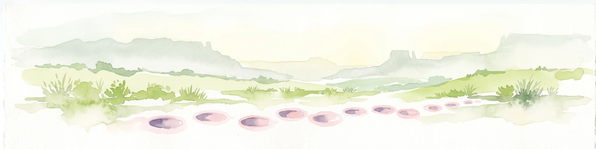
A wide watercolor painting showing a green grassy plain with distant hills and a row of purple circular shapes in the foreground.
Protected areaColorado
227 km away#5 closest

Northwest

Comanche National Grassland: Geographic Atlas of Southeastern Colorado Protected Plains

Exploring canyon systems and prairie landscape boundaries

Spanning across Baca, Otero, and Las Animas counties, Comanche National Grassland represents a distinctive protected landscape of shortgrass prairie and deep canyon networks. The region is marked by the dramatic Purgatoire River and Carrizo Creek systems, offering a rich study in semi-arid topography, riparian corridors, and fossil-rich geological formations within the Colorado plains.

Area
1,793.09 km²
Established
1960
Relief
Upland
Climate
Temperate
A horizontal watercolor illustration of a wide, open prairie landscape featuring soft green hills, sparse shrubs, and grasses against a pale background.
Protected landscapeNew Mexico
259 km away#6 closest

West

Kiowa National Grassland: Protected Landscapes, Canyon Terrain, and Prairie Geography

Northeastern New Mexico shortgrass prairie and river canyon systems.

Kiowa National Grassland represents a distinctive protected landscape within the southwestern Great Plains, featuring a mix of rolling steppe, pinyon-juniper woodland, and the deep gorges of the Canadian River Canyon. This area offers significant insight into the regional geography of New Mexico, where historic Santa Fe Trail corridors and seasonal playa lakes define the local terrain and ecosystem.

Area
554.95 km²
Established
1960
Relief
Upland
Climate
Temperate
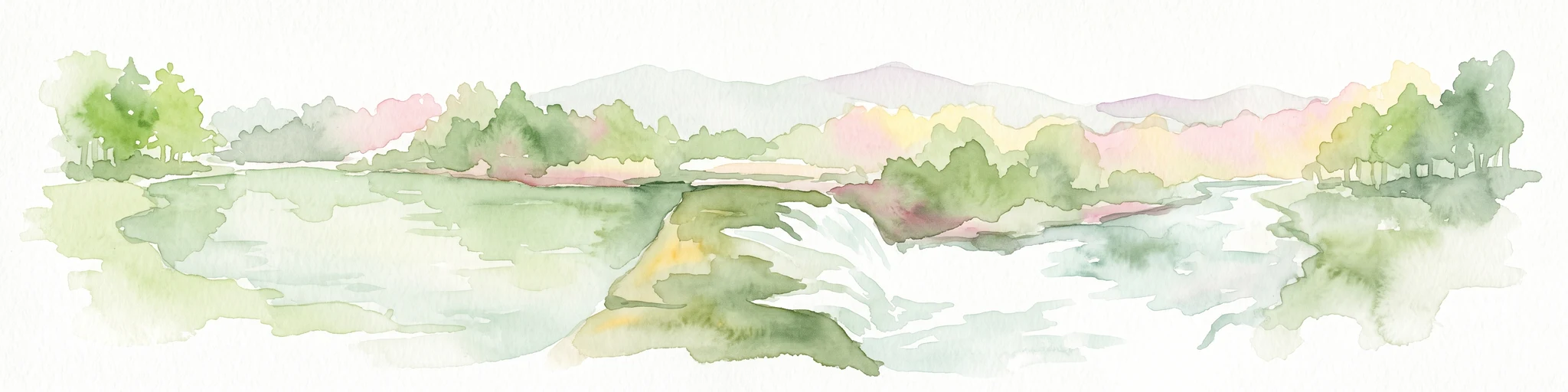
Watercolor painting of a flowing river with a small waterfall and forested banks against a soft, hilly background.
National parkOklahoma
About 268 km away#7 closest

Southeast

Chickasaw National Recreation Area: Geography and Protected Land Map Overview

Explore spring-fed creek corridors and reservoir landscapes in Oklahoma.

Understand the dual landscape of Chickasaw National Recreation Area, where narrow, spring-fed creek valleys contrast with the expansive shoreline of Lake of the Arbuckles. This record highlights the park's distinct transition from historic CCC-designed infrastructure to the surrounding prairie and forested hill terrain in Murray County.

Area
40.06 km²
Established
1902
Visitors
1.5M annual
Relief
Upland
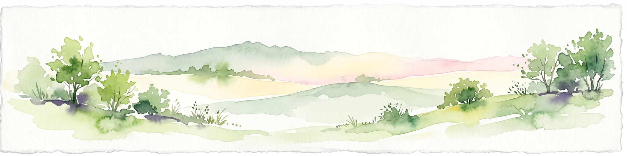
Watercolor painting of soft, rolling green hills and scattered trees against a pale, light-filled sky.
Protected landscapeWise County
293 km away#8 closest

Southeast

Lyndon B. Johnson National Grassland: Atlas and Geographic Landscape Overview

Protected prairie and multiple-use terrain in Wise County

Examine the geographic layout and regional importance of Lyndon B. Johnson National Grassland, a federal protected area in northern Texas. The land offers a unique look at the convergence of open Great Plains prairie and the wooded Cross Timbers, serving as both a working ranching landscape and a preserved natural environment within easy reach of the Dallas-Fort Worth metropolitan area.

Area
82.19 km²
Relief
Lowland
Climate
Temperate
Access
Easy access
MoriAtlas Explorer

Examine the Geography and Protected Boundaries of Black Kettle National Grassland

Deepen your understanding of this restored southern Great Plains ecosystem by analyzing its mapped parcels and varied natural terrain. MoriAtlas provides the necessary geographic context to study how this protected area sustains its mixed-grass prairie landscape across the Washita River valley.