Mori Atlas logo
Park earthquake history

A historical catalogue of seismic events and epicentre data for the glacial lake region

Recorded Earthquake History for the Bodanrück und westl. Bodensee Protected Landscape Area

Review a structured compilation of earthquake records historically associated with the geography of the Bodanrück und westl. Bodensee area in Baden-Württemberg. Each entry includes data on event dates, magnitudes, and calculated distances from the protected landscape. This catalogue offers a clear overview of documented seismic activity for researchers and those interested in the regional environmental history of the Lake Constance basin.

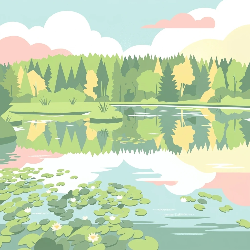
A flat-style digital illustration showing a calm lake with water lilies in the foreground, reflecting a forest and soft-colored clouds in the background.

A large Lake Constance peninsula and shoreline nature reserve combining glacial moraines, lakeside wetlands, and ancient cultural landscapes.

Bodanrück und westlicher Bodensee

Bodanrück und westlicher Bodensee is the largest Natura 2000 Habitats Directive (FFH) site in the German state of Baden-Württemberg. It covers a scenic stretch of the Lake Constance (Bodensee) shoreline together with the Bodanrück, the broad glacial peninsula that separates the Überlinger See from the Untersee. The protected landscape is shaped by ice age processes: a wide expanse of ground moraine crossed by drumlins, moraine ridges, and kettle holes formed by buried dead ice. Wetland complexes line the lake, where shallow bays, reedbeds, and fens blend into open water, while interior mires and dry grasslands preserve very different ecological conditions. Beyond its natural value, the area has deep human history. Prehistoric pile dwelling sites along the shore place it among the most significant archaeological landscapes of Alpine lake dwellings. Mixed deciduous woodland, hay meadows, and longstanding farmland maintain a richly structured cultural landscape that complements the lake, wetland, and glacial terrain.

Location
Germany
Park type
Nature reserve
Established
2004
Area
143.4 km²
Highest point
693 m
Bodanrück und westl. Bodensee Protected Area

Trace Bodanrück und westl. Bodensee events by date, depth, place, and distance

Review earthquake history associated with Bodanrück und westl. Bodensee

Bodanrück und westl. Bodensee is associated with earthquake records by reported epicentre and calculated distance, a spatial relationship rather than a boundary claim. The catalogue presents time, magnitude, depth, locality, site separation, and source links for historical comparison without claiming lake or ridge effects, seismic cause, present hazard, or forecast activity.

Sort by
Magnitude
Location

This page describes catalogued earthquakes associated with the park by epicentre location and distance. It does not establish causation, assess current danger, or predict future earthquakes.

No earthquake records match the current filters

Park atlas

Move from Bodanrück und westl. Bodensee records into wider atlas discovery

Explore other parks beyond Bodanrück und westl. Bodensee

After the catalogue associated with Bodanrück und westl. Bodensee, a separate group of protected destinations opens new routes. The suggestions do not imply common lake or ridge settings, German geography, designation, earthquake data, geology, nearby locations, seismic conditions, hazards, or risk.
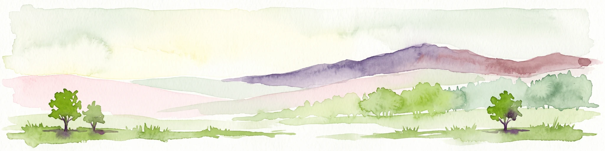
A horizontal watercolor painting depicting a soft-focus valley scene with rolling hills, scattered green trees, and a light sky.
Nature reserveBaden-Württemberg
11 km away#1 closest

Northeast

Deggenhauser Tal Nature Reserve: Mapped Geography and Protected Valley Landscapes

Glacial terrain and watershed ridges in Baden-Württemberg

Investigate the protected geography of Deggenhauser Tal, an expansive nature reserve in the Oberschwäbisches Hügelland. This record maps the complex network of stream corridors, steep valley slopes, and ridge heights that define this Natura 2000 protected area. Gain insights into the glacial relief and varied land use patterns that characterize this essential southwestern German valley ecosystem.

Area
8.492 km²
Established
2019
Protected landscapeBaden-Württemberg
About 12 km away#2 closest

East

Württembergisches Bodenseeufer, Neufassung Teilbereich Friedrichshafen-West Protected Landscape

Mapped greenbelt corridor along the Lake Constance shoreline in Baden-Württemberg.

This protected landscape encompasses a vital 114-hectare corridor of lakeshore habitats and cultural land near Friedrichshafen. It preserves a critical mix of reed beds, shallow-water zones, and riparian woodland galleries that maintain the near-natural state of the Württemberg lakeshore. The area serves as a significant ecological bridge between the waters of Lake Constance and the urbanised inland terrain of the surrounding Bodenseekreis district.

Area
1.14 km²
Established
2004
Relief
Lowland
Scope
Mixed
Protected landscapeBaden-Württemberg
About 20 km away#3 closest

Northwest

Hegau Protected Landscape in Baden-Württemberg: Atlas and Geographic Regional Map

Plateau landscape and agricultural heritage in Tuttlingen

The Hegau protected landscape in the Landkreis Tuttlingen preserves a characteristic segment of the Hegaualb plateau. Defined by undulating farmland, meadows, and the isolated Franzengrund woodland, this reserve offers a clear look at the rural geography and cultural landscape patterns typical of this part of southwestern Germany.

Area
2.723 km²
Established
1952
IUCN
V
Relief
Upland
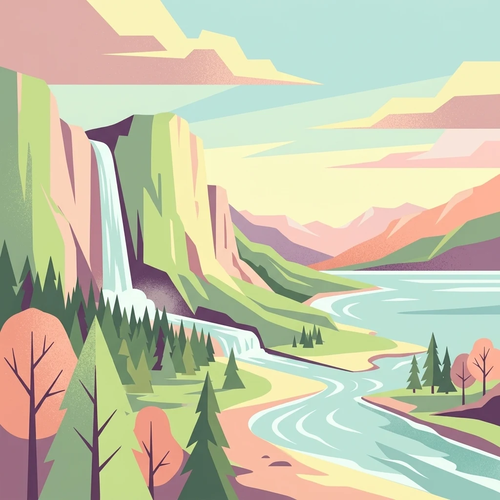
A flat, stylized illustration showing a waterfall cascading from a cliff into a river that flows alongside a forest towards a large body of water under a soft-toned sky.
Protected landscapeBaden-Württemberg
About 22 km away#4 closest

East

Württembergisches Bodenseeufer: Protected Shoreline Landscapes of Lake Constance

A regional atlas of riparian habitats in Baden-Württemberg

Württembergisches Bodenseeufer preserves over 180 hectares of natural shoreline across Friedrichshafen, Langenargen, and Kressbronn am Bodensee. This protected landscape highlights essential riparian ecology, featuring diverse river mouth environments and largely unaltered forest edges that define the southern borders of the Bodenseekreis district.

Area
1.88 km²
Established
1940
Relief
Lowland
Climate
Temperate
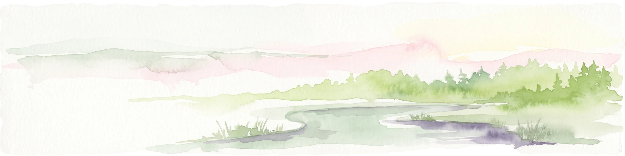
Watercolor painting depicting a gentle hill with forest cover and a winding river in the foreground, using soft pastel tones.
Protected landscapeLandkreis Tuttlingen
About 23 km away#5 closest

Northwest

Honberg Protected Landscape: Geological Atlas and Mapped Terrain in Landkreis Tuttlingen

A preserved Danube Umlaufberg and historical cultural landmark.

The Honberg represents a rare example of a protected landscape fully integrated within an urban setting in southwestern Germany. Defined by its origin as a Danube river meander, the ridge showcases layered limestone formations, diverse meadow habitats, and ancient fortification sites that remain shielded from regional development. This site is essential for understanding the local topography of the Swabian Alb and the historical land-use patterns within the Danube valley.

Area
0.598 km²
Established
1986
IUCN
V
Protected landscapeBaden-Württemberg
About 24 km away#6 closest

Northeast

Pfrunger Ried, Rinkenburg Protected Landscape: Geographic and Terrain Analysis

Moorland and molasse hill system in Baden-Württemberg

Covering roughly 762 hectares in the Ravensburg district, Pfrunger Ried, Rinkenburg is a significant protected landscape known for its glacial tongue basin and peat-forming wetlands. This entry explores the interplay between the wetland systems and the prominent Tertiary molasse hill that define this distinct upper Swabian natural area.

Area
7.62 km²
Established
1967
Relief
Upland
Scope
Terrestrial
Protected landscapeBaden-Württemberg
About 26 km away#7 closest

East

Tettnanger Wald mit Hochwacht, Krüntenbühl, Reichenbühl, Argenhardter Kopf, Schoos und Steilrand des Argentales an dem Schwandenbogen: Geography and Protected Boundaries

A Glacial Landscape Protection Area in the Lake Constance Basin

This protected landscape in Baden-Württemberg captures a classic moraine terrain shaped by glacial retreat. With its system of ridges, dead-ice hollows, and escarpments along the Argen valley, the area serves as a critical geological reference point. Explore the detailed topography and mapped boundaries of this forest landscape within the broader Bodenseebecken region.

Area
7.01 km²
Established
1954
Protected landscapeBaden-Württemberg
About 26 km away#8 closest

East

Steilrand und Schotterfeld des Argentals südlich der Kochermühle Protected Landscape Atlas

Glacial geomorphology and river terrace geography in Baden-Württemberg

This protected area provides a diagrammatic view of the Argen valley's ice-age origins. By preserving a Late Glacial terrace complete with its characteristic steep edge and gravel-strewn surfaces, it offers an essential geographic reference for understanding the retreat of the Würm ice within the wider Bodenseebecken region.

Area
0.081 km²
Established
1954
Relief
Lowland
Climate
Temperate
MoriAtlas Explorer

Explore the Mapped Landscapes of Bodanrück und westl. Bodensee

Continue your atlas journey through the Bodanrück und westl. Bodensee nature reserve. Use the MoriAtlas dataset to examine its glacial moraine ridges, wetland gradients, and the protected shoreline habitats that define this major Baden-Württemberg conservation area.