
Mori Atlas logo
Park guides

Seasonal context from volcanic cloud forest to tropical lowlands

Braulio Carrillo National Park guide to seasonal visit timing in Heredia

Explore Braulio Carrillo National Park's guides for volcanic highlands, cloud forest, rainforest, rivers, and crater lakes. The timing guide contrasts clearer views and more stable trails from January through April with frequent May-to-December rain, mud, and the need for flexible wet-weather gear.

Related tags

Cloud ForestVolcanic LandscapeBiodiversity hotspotPrimary ForestMountain Parks

Costa Rica's accessible wilderness between the Central Valley and Caribbean coast

Braulio Carrillo National Park

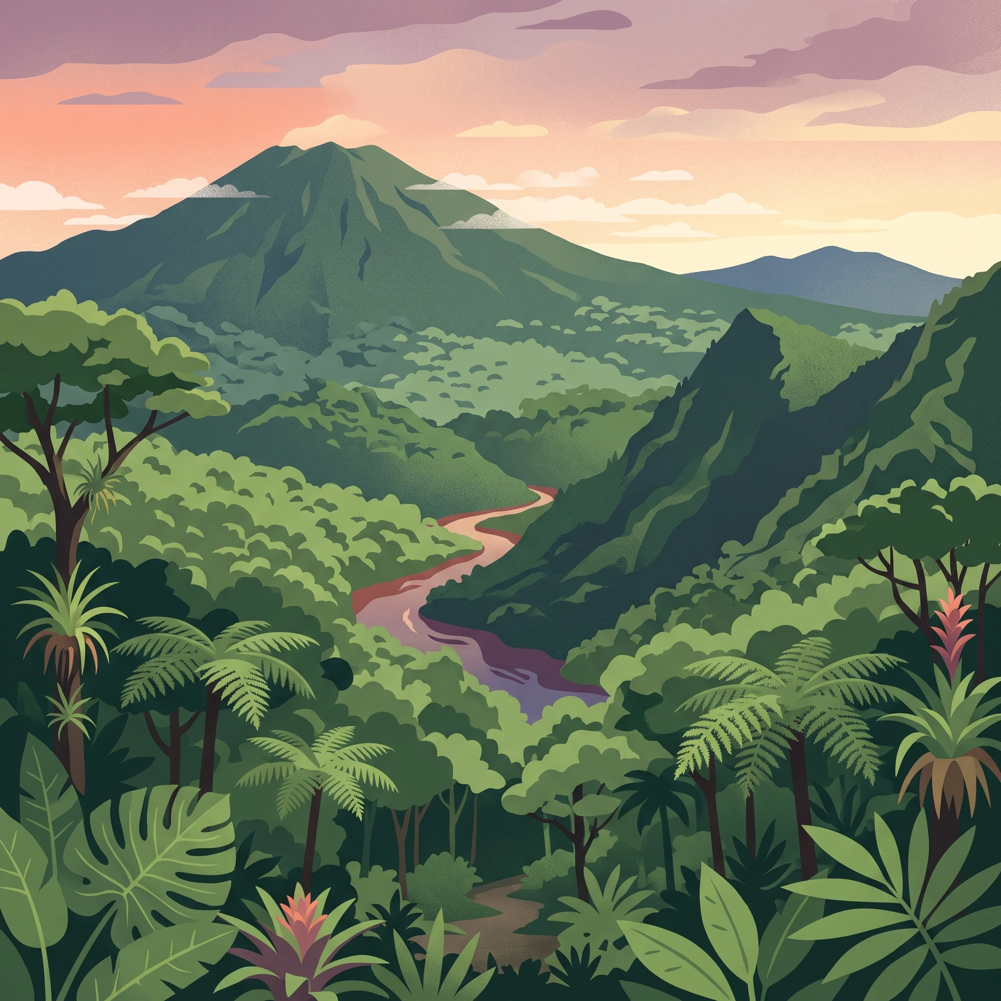
Braulio Carrillo National Park represents one of Costa Rica's most significant protected areas, encompassing a substantial portion of the Central American volcanic backbone within its borders. The park straddles the boundary between the Central Valley and the Caribbean lowlands, creating a unique ecological corridor that connects highland cloud forest environments with lowland tropical rainforest habitats. This geographic positioning has resulted in extraordinary species diversity, with the park containing portions of two major WWF ecoregions: Talamancan montane forests at higher elevations and Isthmian-Atlantic moist forests in the lower reaches. The Limon Highway, a major transportation corridor constructed during the mid-20th century, passes directly through the park and was the catalyst for the protected area's establishment, as environmental advocates successfully argued for conservation measures to prevent uncontrolled development along this route. Today, visitors can access the park from both the highway itself and from the Barva canton to the north, though the infrastructure remains limited compared to more heavily visited Costa Rican destinations.

Location
Costa Rica
Park type
National park
Established
1978
Area
475.8 km²
Braulio Carrillo National Park Protected Area
MoriAtlas Explorer

Continue exploring Braulio Carrillo National Park's mapped landscape and regional geography

Deepen your understanding of Braulio Carrillo National Park by delving into its specific geographic features and protected landscape context. This detailed view helps map its position within Heredia Province and contributes to a comprehensive atlas of protected areas, revealing its unique terrain and ecological significance. Continue your discovery of this important national park's mapped identity.