
A comprehensive index of coastal headlands, mountain ranges, and sandplain systems
Named Natural Features and Geographic Landscapes of Cape Arid National Park in Western Australia
Browse the diverse collection of named natural features associated with Cape Arid National Park, ranging from the rugged granite headlands of the Southern Ocean coastline to the ancient quartzite peaks of the Russell Range. This geographic index catalogs significant landforms and terrain types found within or adjacent to the park boundaries. Each entry provides spatial context for the complex geological and environmental variety that characterizes this remote wilderness area, supporting deeper exploration of the region.
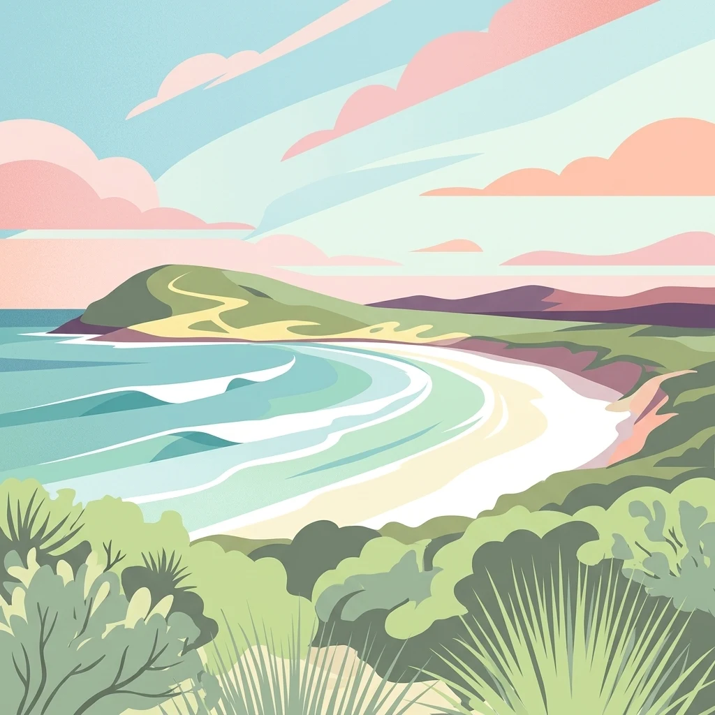
Mapping the prominent coastal headlands, ancient mountain ranges, and bays of Western Australia
Explore Named Geographic and Natural Features of Cape Arid National Park
Mapping coastal indentations and southern shoreline features
Bays
Analyze the distribution of named bays situated along the southern coast of Cape Arid National Park. This collection focuses on the geometric interaction between the Southern Ocean and the park’s rugged granite headlands, providing essential spatial data for understanding coastal enclosure patterns in this remote region.
Continue Exploring Cape Arid National Park's Geographic and Landscape Features
Delve deeper into the mapped geography and protected landscape of Cape Arid National Park. Understanding its position within Western Australia's regional context, from its dramatic coastlines to its ancient ranges, provides essential insight for anyone exploring Australia's protected areas and natural terrains through a geographic atlas. This destination offers a rich foundation for comprehending the interplay of protected lands and natural landscapes.