
Mori Atlas logo
Park guides

Seasonal context for old-growth floodplain forest and waterways

Congaree National Park visitor timing guide for South Carolina seasons

Explore Congaree National Park's guides for old-growth floodplain forest, oxbow lakes, wetlands, and waterways. The timing guide highlights spring and autumn for comfortable boardwalk walks and paddling while contrasting them with summer heat and humidity, lush growth, and firefly displays requiring preparation and hydration.

Related tags

Old Growth ForestBottomland Hardwood ForestFloodplain EcosystemRamsar WetlandWilderness Area

Largest remaining old-growth bottomland hardwood forest in the United States

Congaree National Park

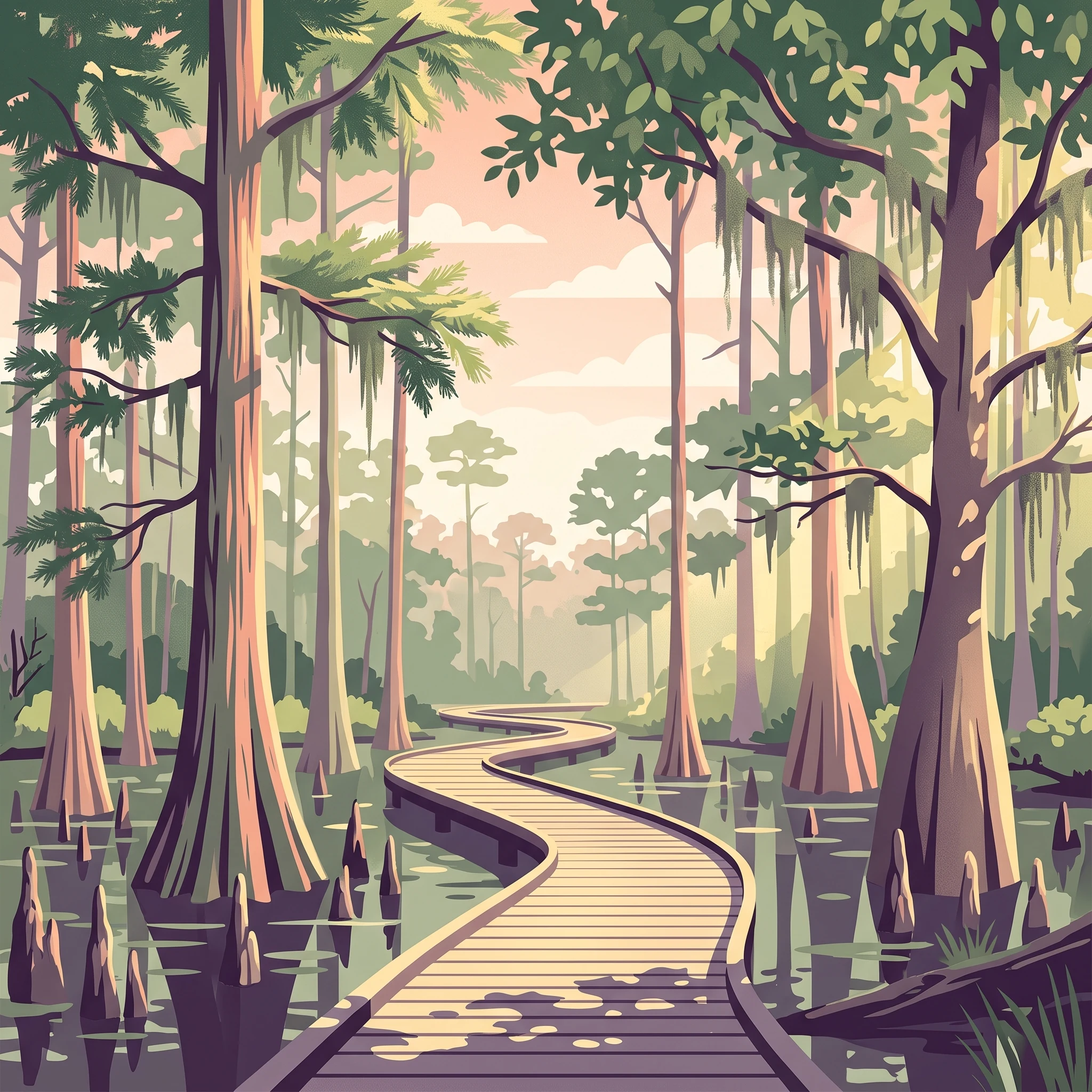
Congaree National Park stands as a testament to what much of the southeastern United States once looked like before widespread deforestation and development transformed the landscape. Located in Richland County, South Carolina, the park encompasses the Congaree River floodplain, a dynamic environment where seasonal flooding deposits nutrient-rich sediments and shapes the distinctive character of the forest. Unlike the adjacent Piedmont region with its rolling hills and rocky terrain, the floodplain consists of flat, low-lying terrain that experiences periodic inundation from the Congaree River and its tributaries. The park's character-defining features include massive bald cypress trees rising from buttressed roots, water tupelo dominating the wetter areas, and a diverse mix of oaks, sweetgum, and other hardwoods creating a complex forest structure across elevational gradients from 80 to 140 feet. The forest canopy reaches heights that rank among the highest in the eastern United States, with individual loblolly pines exceeding 160 feet. This remarkable vertical dimension results from the combination of fertile floodplain soils, adequate moisture, and the park's protection from logging that removed similar forests elsewhere. Visitors experience the park primarily through the elevated Boardwalk Loop, a 2.4-mile walkway that winds through the swampy environment while protecting delicate ground-level vegetation. The boardwalk provides access to the heart of the old-growth forest without impacting the sensitive floodplain ecosystem. Beyond the boardwalk, more adventurous visitors can explore miles of hiking trails, paddle 20 miles of canoe trail on Cedar Creek, or camp at primitive sites deep in the wilderness area.

Location
United States of America
Park type
National park
Established
2003
Area
108 km²
Highest point
43 m
Congaree National Park Protected Landscape
MoriAtlas Explorer

Continue exploring the mapped geography and protected landscape of Congaree National Park

Delve deeper into the specific geography and mapped context of Congaree National Park. Understanding its protected landscape identity is key to exploring its regional significance and its place within the larger atlas of national parks. Discover the structured geographic details that define this unique South Carolina protected area.