Mori Atlas logo
Park earthquake history

Review historical seismic data mapped by distance from the protected valley landscape.

Recorded Earthquake History and Seismic Event Catalogue for Deggenhauser Tal Nature Reserve

This historical catalogue provides a structured record of seismic events that occurred within the geographic vicinity of the Deggenhauser Tal nature reserve. Each entry includes event timing, calculated magnitude, depth, and epicentre location, providing a clear overview of the seismic activity associated with this region of Baden-Württemberg. The data relies on established seismic monitoring records to map events proximity to the protected stream valley and the surrounding Oberschwäbisches Hügelland terrain.

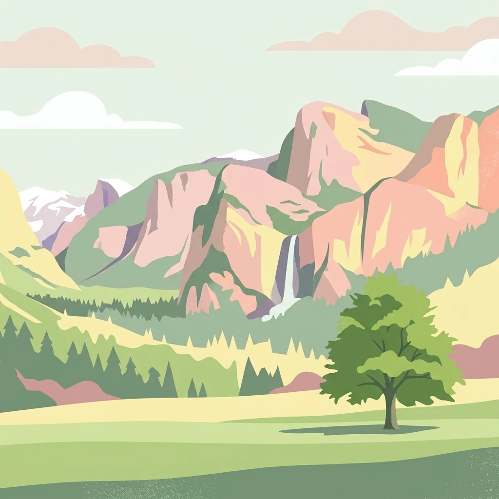
A minimalist, flat-style illustration of a green valley with a single tree in the foreground, backed by tiered mountains and a waterfall.

A Natura 2000 valley landscape in Upper Swabia protecting forest, grassland, and rock habitats along the Deggenhauser Aach.

Deggenhauser Tal

Deggenhauser Tal is a protected valley landscape in the southeast of Baden-Württemberg, Germany, designated under the European Union Habitats Directive as part of the Natura 2000 network. Located in the Oberschwäbisches Hügelland, the natural region of Upper Swabia, the site stretches across roughly 812 hectares in sixteen separate parcels across the Bodenseekreis and a small fraction of the Landkreis Sigmaringen. The defining purpose of the site is the conservation of the valley system of the Deggenhauser Aach, along with its side valleys, valley slopes, bordering heights, and the varied mosaic of land uses that surround them. The protected area combines dry and wet habitat types, open land, forests, and exposed rock faces; together these reflect glacial and post-glacial landscape development. Within the broader network of Habitats Directive sites of the Bodenseekreis, Deggenhauser Tal represents one of the most landscape-defining valley complexes in the region, anchored by the prominent Höchsten ridge along the European main watershed.

Location
Germany
Park type
Nature reserve
Established
2019
Area
8.5 km²
Deggenhauser Tal Nature Reserve Map

Compare source locality, depth and park distance against Ichkeul’s wetland setting

Search earthquake records around Deggenhauser Tal

Review earthquake observations around Deggenhauser Tal, officially FFH-Gebiet Deggenhauser Tal, an 8.492 km² nature reserve; results preserve reported date, magnitude, depth, locality, epicentre, source and calculated boundary separation. Protection scope, relief, water and landscape fields are unpopulated here, and proximity does not prove site occurrence, effects, current hazard or future activity.

Sort by
Magnitude
Location

This page describes catalogued earthquakes associated with the park by epicentre location and distance. It does not establish causation, assess current danger, or predict future earthquakes.

No earthquake records match the current filters

Park atlas

Continue beyond Deggenhauser Tal earthquake history in the atlas

Discover other protected parks after the Deggenhauser Tal records

After the earthquake records associated with Deggenhauser Tal, readers can leave its Upper Swabian valley and Baden-Württemberg Natura 2000 context for wider park discovery. The destination pages are not linked by FFH status, valley terrain, geographic closeness, geology, seismic observations, hazards, risk, habitat directive, or comparable information depth.
Protected landscapeBaden-Württemberg
About 6.4 km away#1 closest

South

Württembergisches Bodenseeufer, Neufassung Teilbereich Friedrichshafen-West Protected Landscape

Mapped greenbelt corridor along the Lake Constance shoreline in Baden-Württemberg.

This protected landscape encompasses a vital 114-hectare corridor of lakeshore habitats and cultural land near Friedrichshafen. It preserves a critical mix of reed beds, shallow-water zones, and riparian woodland galleries that maintain the near-natural state of the Württemberg lakeshore. The area serves as a significant ecological bridge between the waters of Lake Constance and the urbanised inland terrain of the surrounding Bodenseekreis district.

Area
1.14 km²
Established
2004
Relief
Lowland
Scope
Mixed
Protected landscapeBaden-Württemberg
About 7.1 km away#2 closest

Northeast

Pfrunger Ried, Rinkenburg Protected Landscape: Geographic and Terrain Analysis

Moorland and molasse hill system in Baden-Württemberg

Covering roughly 762 hectares in the Ravensburg district, Pfrunger Ried, Rinkenburg is a significant protected landscape known for its glacial tongue basin and peat-forming wetlands. This entry explores the interplay between the wetland systems and the prominent Tertiary molasse hill that define this distinct upper Swabian natural area.

Area
7.62 km²
Established
1967
Relief
Upland
Scope
Terrestrial
A horizontal watercolor painting showing a calm lake shore with green trees, reeds, and soft reflections on the water surface.
Nature reserveBaden-Württemberg
11 km away#3 closest

Southwest

Bodanrück und westl. Bodensee: Mapped Geography of an Extensive Nature Reserve

A glacial peninsula protected area in Baden-Württemberg

The Bodanrück und westl. Bodensee nature reserve represents a sprawling mosaic of ground moraines, drumlins, and kettle lakes along the shoreline of Lake Constance. This protected area supports a diverse array of habitats, from tufa-forming springs and alluvial forests to species-rich hay meadows, reflecting the complex ecological history of the German southwest.

Area
143.407 km²
Established
2004
Relief
Mixed relief
Climate
Temperate
A flat, stylized illustration showing a waterfall cascading from a cliff into a river that flows alongside a forest towards a large body of water under a soft-toned sky.
Protected landscapeBaden-Württemberg
About 15 km away#4 closest

Southeast

Württembergisches Bodenseeufer: Protected Shoreline Landscapes of Lake Constance

A regional atlas of riparian habitats in Baden-Württemberg

Württembergisches Bodenseeufer preserves over 180 hectares of natural shoreline across Friedrichshafen, Langenargen, and Kressbronn am Bodensee. This protected landscape highlights essential riparian ecology, featuring diverse river mouth environments and largely unaltered forest edges that define the southern borders of the Bodenseekreis district.

Area
1.88 km²
Established
1940
Relief
Lowland
Climate
Temperate
A soft, panoramic watercolor painting featuring green, rolling hills and a winding river or stream through a forested landscape against a bright, hazy sky.
Nature reserveBaden-Württemberg
16 km away#5 closest

East

Altdorfer Wald Nature Reserve: Geographic Atlas and Protected Landscape Overview

Mire, spring, and forest ecosystems in Baden-Württemberg

The Altdorfer Wald nature reserve consolidates a significant network of watercourses, peatlands, and old-growth forest stands across the Upper Swabian Pre-Alpine hills. This protected area stands as a primary focal point for understanding the interplay between hydrological richness, calcareous deposits, and diverse temperate forest habitats within the regional geography of Baden-Württemberg.

Area
13.71 km²
Established
2019
Relief
Upland
Climate
Temperate
Protected landscapeBaden-Württemberg
About 16 km away#6 closest

Southeast

Tettnanger Wald mit Hochwacht, Krüntenbühl, Reichenbühl, Argenhardter Kopf, Schoos und Steilrand des Argentales an dem Schwandenbogen: Geography and Protected Boundaries

A Glacial Landscape Protection Area in the Lake Constance Basin

This protected landscape in Baden-Württemberg captures a classic moraine terrain shaped by glacial retreat. With its system of ridges, dead-ice hollows, and escarpments along the Argen valley, the area serves as a critical geological reference point. Explore the detailed topography and mapped boundaries of this forest landscape within the broader Bodenseebecken region.

Area
7.01 km²
Established
1954
A soft watercolor painting of a rolling landscape featuring a winding river, grassy plains, and distant hills in muted green, pink, and yellow tones.
Protected landscapeBodenseekreis
About 19 km away#7 closest

Southeast

Spätwürmeiszeitliche Terrassen zwischen Burnau, Prestenberg, Vorderreute, Buch und Krumbach Geography

A protected landscape site in the Bodenseekreis district

Spätwürmeiszeitliche Terrassen zwischen Burnau, Prestenberg, Vorderreute, Buch und Krumbach is defined by its series of level river terraces resulting from Würm ice age glacial retreat. Spanning roughly 22 hectares near the Schwarzach river, the site remains a vital example of fluvioglacial geomorphology and regional landscape preservation within the pre-Alpine foreland.

Area
0.22 km²
Established
1963
Relief
Upland
Climate
Temperate
Protected landscapeBaden-Württemberg
About 19 km away#8 closest

Southeast

Steilrand und Schotterfeld des Argentals südlich der Kochermühle Protected Landscape Atlas

Glacial geomorphology and river terrace geography in Baden-Württemberg

This protected area provides a diagrammatic view of the Argen valley's ice-age origins. By preserving a Late Glacial terrace complete with its characteristic steep edge and gravel-strewn surfaces, it offers an essential geographic reference for understanding the retreat of the Würm ice within the wider Bodenseebecken region.

Area
0.081 km²
Established
1954
Relief
Lowland
Climate
Temperate
MoriAtlas Explorer

Explore the Protected Geography of the Deggenhauser Tal Nature Reserve

Deepen your knowledge of the Deggenhauser Tal landscape by examining its detailed mapped boundaries and ecological context. Use this MoriAtlas entry to trace the valley network, glacial ridges, and stream systems that anchor this important protected site within the regional geography of Baden-Württemberg.

Global natural geography