
Mori Atlas logo
Nature reserveDeggenhauser Tal

Mapping the glacial terrain, rocky outcrops, and watershed ridges of this diverse protected valley complex

Deggenhauser Tal Nature Reserve: A Detailed Atlas of the Valley Landscape in Baden-Württemberg

(FFH-Gebiet Deggenhauser Tal)

Deggenhauser Tal represents a vital nature reserve and protected valley system situated within the Oberschwäbisches Hügelland of Baden-Württemberg. This atlas entry focuses on the complex mosaic of forest, wetland, and rocky slope habitats carved by glacial activity. The area encompasses the Deggenhauser Aach stream corridor and reaches up to the prominent Höchsten ridge, which marks a major European watershed. Users can trace the boundaries across the Bodenseekreis to understand how these varied elevations and habitats form a coherent ecological unit.

FFH siteHabitats DirectiveNatura 2000valley landscapeUpper SwabiaOberschwäbisches Hügelland
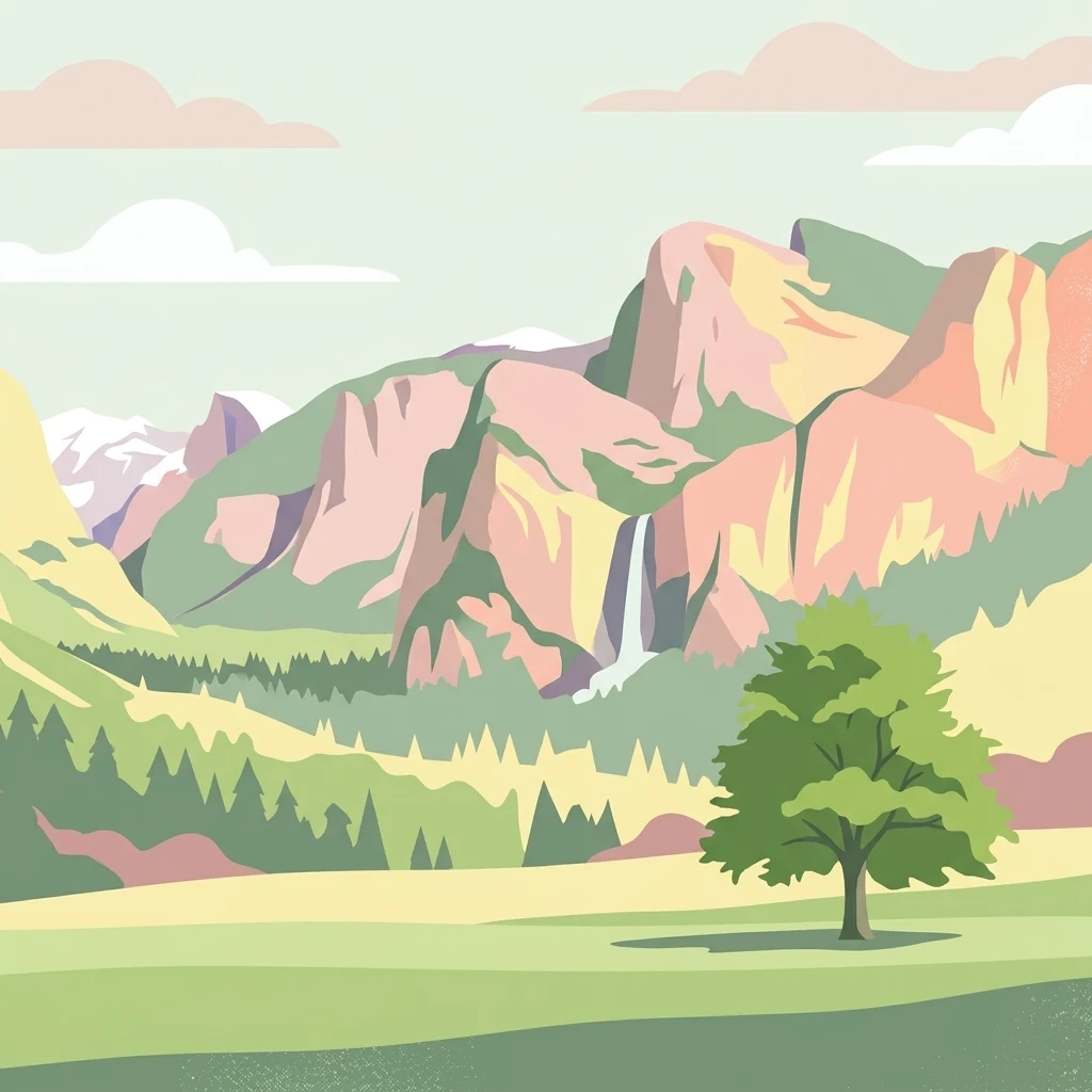
A minimalist, flat-style illustration of a green valley with a single tree in the foreground, backed by tiered mountains and a waterfall.

Deggenhauser Tal

Nature reserve

Park overview

Structured park overview, official facts, and landscape profile for Deggenhauser Tal

Deggenhauser Tal park facts, protected area profile, and essential visitor context

Review the core facts for Deggenhauser Tal, including designation, size, terrain, visitor scale, habitats, and operating context in one park-focused overview.

About Deggenhauser Tal

Deggenhauser Tal is a Habitat Directive area in southern Baden-Württemberg that captures the valley landscape of the Deggenhauser Aach and its surrounding slopes. Designated under the European Fauna-Flora-Habitat Directive (FFH) with the code DE-8222-341, the site was registered in 2005 and formally established by a Tübingen regional council ordinance of 5 November 2018, in force from 11 January 2019. It forms part of the broader Natura 2000 ecological network and represents one of the larger valley complexes of the Bodenseekreis.

The area lies naturally within the Oberschwäbisches Hügelland, the rolling uplands of Upper Swabia, and reaches from about 472 to 814 meters in elevation. Sixteen component parcels extend primarily through the Bodenseekreis, crossing the municipalities of Deggenhausertal, Heiligenberg, Markdorf, and Salem, and reach into the Landkreis Sigmaringen around Illmensee. Running from Echbeck in the northwest to Untersiggingen in the southeast, the site threads together side valleys, valley slopes, and the heights that frame them.

The conservation purpose of Deggenhauser Tal is rooted in the preservation of the Deggenhauser Aach valley, with all of its ecological complexity and land-use history. Land cover is dominated by coniferous plantations, broadleaf woodland, wet and mesophilic grassland, and additional coniferous forest, with rocky areas contributing open habitat pockets. Glacial and post-glacial processes have left a distinctive terrain, and the resulting mosaic of dry and wet habitats, forest patches, and exposed rock forms the backbone of the site's ecological value. The incorporated landscape protection area of the Höchsten ridge anchors the broader scenery along the European main watershed, making Deggenhauser Tal as much a defining landscape element as it is a conservation entity.

Quick facts and research context for Deggenhauser Tal

Deggenhauser Tal is a Habitats Directive (FFH) site in Baden-Württemberg, Germany, with the official code DE-8222-341. It lies in the Oberschwäbisches Hügelland, spanning the Bodenseekreis and a very small share of the Landkreis Sigmaringen. The site was initially registered under the Habitats Directive through a 2005 ordinance of the Regierungspräsidium Tübingen and was formally designated as a Site of Community Importance by ordinance dated 5 November 2018, entering into force on 11 January 2019.

The protected landscape is composed of 16 separate areas between about 472 and 814 meters above sea level, covering roughly 812 hectares in total. Land cover is dominated by coniferous plantations, broadleaf forest, wet and mesophilic grassland, and coniferous forest, with exposed rock formations completing the habitat mosaic. The site incorporates the landscape protection area Höchsten, an elevated ridge along the European main watershed that defines the surrounding scenery.

Protection and recognition

Examining official conservation designations and protected area records

Deggenhauser Tal Protection Status and Natura 2000 Recognition

Deggenhauser Tal maintains documented conservation standing through official Natura 2000 recognition networks and administrative boundary records. Review structured protected area classifications and baseline international designation data associated with the landscape.
Park context

Deeper park guide and search-rich context for Deggenhauser Tal

Deggenhauser Tal history, landscape, wildlife, and travel context

Explore Deggenhauser Tal through its history, landscape character, ecosystems, wildlife, conservation priorities, cultural context, and seasonal travel timing in a structured park guide built for atlas discovery and search intent.

Why Deggenhauser Tal stands out

Deggenhauser Tal is best known for its mosaic valley landscape along the Deggenhauser Aach, where dry and wet habitats, woodland, and exposed rock come together within a single Habitats Directive site. The protected area illustrates the ecological character of the Oberschwäbisches Hügelland, with glacial and post-glacial landforms shaping a varied terrain of slopes, side valleys, and rocky outcrops. The site is also notable for including the Höchsten ridge, a prominent landscape-defining feature on the European main watershed that offers sweeping views across the surrounding countryside. Botanical interest centers on wild orchid populations such as the Yellow Lady's Slipper, while amphibians like the Yellow-bellied Toad, the Bechstein's Bat, and freshwater fish including the Bullhead contribute to the site's fauna-focused conservation importance.
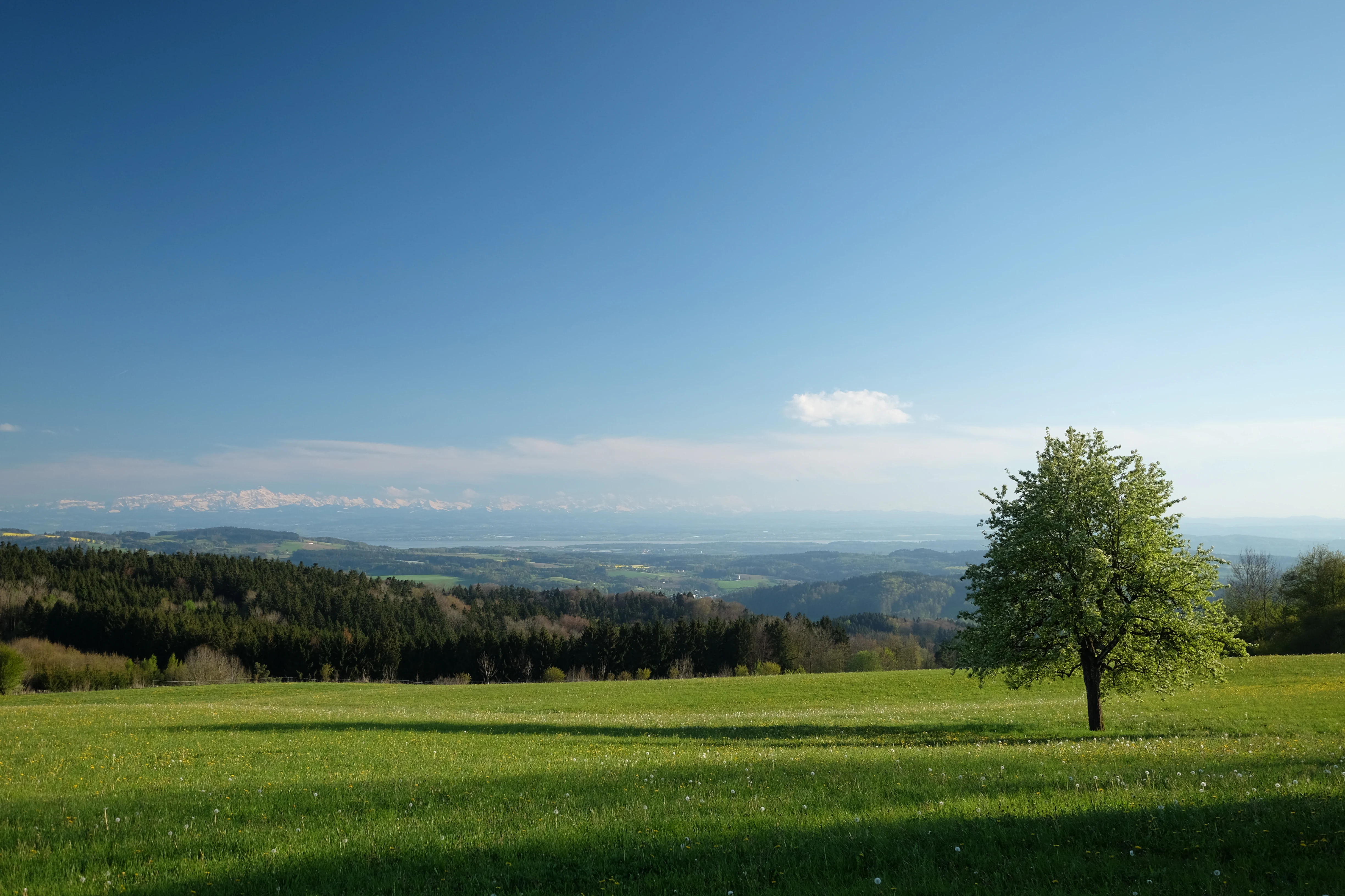
A sunny landscape photograph showing a bright green pasture with a single deciduous tree in the foreground, rolling hills with dark forest cover in the midground, and the faint, snow-capped Swiss Alps visible in the far hazy distance under a clear blue sky.
Panoramic view from the hills above Deggenhauser Tal towards the Alps and Lake Constance.

Deggenhauser Tal history and protected-area timeline

The protection process for Deggenhauser Tal began with an ordinance of the Regierungspräsidium Tübingen on 1 January 2005, which registered the area under the European Habitats Directive (Richtlinie 92/43/EWG). This early step placed the valley landscape of the Deggenhauser Aach within the framework of the emerging Natura 2000 network in Baden-Württemberg.

A second ordinance, dated 5 November 2018 and entering into force on 11 January 2019, formally designated the site as a Site of Community Importance and established its boundaries. Since then, the area has been managed as a fixed Habitats Directive site under the authority of the Regierungspräsidium Tübingen, joining the related Natura 2000 sites across the Bodenseekreis and the Landkreis Sigmaringen.

Deggenhauser Tal landscape and geographic character

The landscape of Deggenhauser Tal is shaped by the rolling terrain of the Oberschwäbisches Hügelland, where glacial and post-glacial processes have carved a distinct valley system along the Deggenhauser Aach and its tributaries. Elevations within the protected area range from roughly 472 to 814 meters above sea level, working through side valleys, valley slopes, rocky outcrops, and the bordering heights that enclose the valley. Exposed rock formations add vertical structure and openness to the otherwise wooded topography.

A defining scenic element of the wider setting is the Höchsten ridge, which is included in the site as a landscape protection area. Sitting on the European main watershed, this elevation gives the protected landscape one of its most prominent skylines and connects the valley complex to broader regional vistas. Together, these features create a varied relief pattern that supports a rich mosaic of dry ridges, moist slopes, and sheltered valley floors.

Deggenhauser Tal ecosystems, habitats, and plant life

The ecological character of Deggenhauser Tal is built on the contrast between dry and wet habitat types, with woodland, open land, and rocky areas all contributing to the site's biodiversity value. This habitat diversity is a legacy of glacial and post-glacial landscape development, which left behind a finely textured terrain of slopes, flat valley bottoms, and exposed rock.

Land-cover figures highlight coniferous plantations at about 25 percent, broadleaf forest at around 24 percent, and wet and mesophilic grasslands at roughly 21 percent, with additional coniferous forest and other habitats completing the picture. These proportions reflect a managed cultural landscape in which forest cover and traditionally used open land coexist. Such habitat variety gives the site its significance within the broader Natura 2000 network of Baden-Württemberg.

Deggenhauser Tal wildlife and species highlights

The animal species of particular conservation interest in Deggenhauser Tal include the Yellow-bellied Toad, also known as the Bergunke, an amphibian of the Bombinatoridae family that inhabits wet and dynamic parts of the valley. Freshwater habitats along the Deggenhauser Aach and its tributaries support the Bullhead, a small fish from the Cottidae family that depends on clean, well-structured streams.

Woodland structure across the site is important for Bechstein's Bat, a forest-dwelling species from the family Vespertilionidae. Together, these species represent a mix of amphibian, fish, and mammal interests typical of southern German stream-valley landscapes, and they underline why the area is part of the European Habitats Directive network.

Deggenhauser Tal conservation status and protection priorities

Deggenhauser Tal is a designated Site of Community Importance under the European Habitats Directive, registered under the code DE-8222-341 and managed by the Regierungspräsidium Tübingen. Its principal conservation goal is the long-term preservation of the valley system of the Deggenhauser Aach, including its side valleys, valley slopes, border heights, and the mosaic of land uses that surrounds them.

By combining dry and wet habitats, forest stands, open grasslands, and rocky formations within a single protected framework, the site contributes resources for species and habitat types that are scarce elsewhere in the region. Its inclusion in the Natura 2000 network of Baden-Württemberg extends the ecological coverage of large Natura 2000 landscapes of the Bodenseekreis and the Landkreis Sigmaringen, linking it conceptually to neighboring Habitats Directive sites throughout Upper Swabia.

Deggenhauser Tal cultural meaning and human context

The protected area sits within a long-settled rural landscape of Upper Swabia, where forestry, traditional agriculture, and small village communities have shaped the valley over time. The protected valley carries the name of the Deggenhauser Aach and extends from Echbeck in the northwest to Untersiggingen in the southeast, threading through Deggenhausertal, Heiligenberg, Markdorf, Salem, and a small part of Illmensee. These villages reflect a regional culture tied to a working landscape of forests, meadows, and streams, with the ridge of the Höchsten along the European main watershed providing a defining cultural and visual landmark.

Top sights and standout views in Deggenhauser Tal

Deggenhauser Tal stands out for combining a glacial-influenced valley system with a finely balanced mosaic of forest, grassland, and rocky habitats. The site encompasses the broader valley slopes and ridge-forming heights of the Deggenhauser Aach, including the prominent Höchsten ridge along the European main watershed, with sweeping views across the surrounding countryside.

Botanically, the site is home to the Yellow Lady's Slipper orchid, while its fauna includes the Yellow-bellied Toad, Bechstein's Bat, and the Bullhead fish. Together, these features place Deggenhauser Tal among the more ecologically layered Habitats Directive sites of the Bodenseekreis and the Landkreis Sigmaringen.

Best time to visit Deggenhauser Tal

Deggenhauser Tal spans elevations from around 472 to 814 meters in the rolling Upper Swabian uplands, which means seasonal variation can noticeably shape the visitor experience. Spring and early summer tend to bring the most active vegetation and wildlife interest, with grasslands in bloom and amphibians active in wetter parts of the valley. Late summer and early autumn offer more stable weather and clearer views from the ridge of the Höchsten, when open land and forest displays shift toward harvest and woodland colors. Winter visits emphasize the structural character of the landscape, with bare slopes and exposed rock stands out under low light.

Monthly climate preview

Long-term representative monthly temperature and precipitation rhythm in Baden-Württemberg

Deggenhauser Tal Climate Normals and Annual Temperature Patterns

Representative measurements from Baden-Württemberg document long-term monthly temperature swings and precipitation rates for Deggenhauser Tal. Accessing the complete twelve-month profile provides a detailed breakdown of average maximum and minimum values across the entire year.
Annual mean8 °C
-2 °C18 °C
Jan-2°
Feb
Mar
Apr
May13°
Jun16°
Jul18°
Aug18°
Sep13°
Oct
Nov
Dec-1°
Warmest month
July

18 °C

Coolest month
January

-1.5 °C

Wettest month
July

3.9 mm/day

Driest month
February

1.9 mm/day

Park location guide

Geography guide, regional context, and park location map for Deggenhauser Tal

Deggenhauser Tal park geography, regions, and map view in Germany

Understand where Deggenhauser Tal sits in Germany through a broader geographic reading of the surrounding landscape, nearby location context, and its mapped position within the national park landscape.

How Deggenhauser Tal fits into Germany

Germany is a federal republic in Western and Central Europe with a population of over 83 million across sixteen constituent states. It is Europe's largest economy by nominal GDP and a major global exporter and importer. The capital is Berlin, and the country borders Denmark, Poland, Czech Republic, Austria, Switzerland, France, Luxembourg, Belgium, and the Netherlands.

Wider geography shaping Deggenhauser Tal in Germany

Germany is located in Western and Central Europe, spanning 357,022 km². It borders Denmark to the north, Poland and the Czech Republic to the east, Austria and Switzerland to the south, and France, Luxembourg, Belgium, and the Netherlands to the west. The country has coastlines on the Baltic Sea and North Sea to the north, with the Alps located in the southern region.

Map view of Deggenhauser Tal

Use this park location map to pinpoint Deggenhauser Tal in Germany, understand its exact geographic position, and read its mapped placement within the surrounding landscape more clearly.

Pigeon | © OpenStreetMap contributors

Location context for Deggenhauser Tal

Baden-Württemberg
Recorded earthquake history

Browse the Historical Earthquake Catalogue for Deggenhauser Tal

Explore recorded seismic events and associated historical data for the Deggenhauser Tal region. This catalogue provides a structured way to review epicentre locations, event dates, and magnitudes for activities occurring near the protected area through the lens of regional geography.

Deggenhauser Tal Earthquake History

Catalogued events

42 events

Strongest magnitude

Magnitude 5.2

Most recent event

Jul 20, 2013

This history includes earthquakes recorded inside the park or within 50 km of its borders

Explore detailed imagery of valley slopes, forest habitats, and watershed ridges across the protected area

Deggenhauser Tal Photos: Visualizing the Protected Valley Landscapes and Scenery

Visual documentation of Deggenhauser Tal reveals the complex glacial topography, stream corridors, and diverse habitats shaping this protected valley ecosystem. Examining park photography provides a clearer understanding of the terrain, environmental gradients, and distinctive landscape character found throughout the region.

A sunny landscape photograph showing a bright green pasture with a single deciduous tree in the foreground, rolling hills with dark forest cover in the midground, and the faint, snow-capped Swiss Alps visible in the far hazy distance under a clear blue sky.

A wide, low-angle shot of a grassy field under a dense, overcast sky, with three isolated trees on the horizon.

Park atlas

Compare regional valley reserves and connected conservation terrain across Upper Swabia

Explore Parks Near Deggenhauser Tal and Surrounding Protected Landscapes

Browse other protected areas near Deggenhauser Tal to examine adjacent valley systems, glacial landforms, and varied regional terrain. Comparing these nearby reserves provides a broader geographic perspective on the conservation networks shaping the Bodenseekreis.
Protected landscapeBaden-Württemberg
About 6.4 km away#1 closest

South

Württembergisches Bodenseeufer, Neufassung Teilbereich Friedrichshafen-West Protected Landscape

Mapped greenbelt corridor along the Lake Constance shoreline in Baden-Württemberg.

This protected landscape encompasses a vital 114-hectare corridor of lakeshore habitats and cultural land near Friedrichshafen. It preserves a critical mix of reed beds, shallow-water zones, and riparian woodland galleries that maintain the near-natural state of the Württemberg lakeshore. The area serves as a significant ecological bridge between the waters of Lake Constance and the urbanised inland terrain of the surrounding Bodenseekreis district.

Area
1.14 km²
Established
2004
Relief
Lowland
Scope
Mixed
Protected landscapeBaden-Württemberg
About 7.1 km away#2 closest

Northeast

Pfrunger Ried, Rinkenburg Protected Landscape: Geographic and Terrain Analysis

Moorland and molasse hill system in Baden-Württemberg

Covering roughly 762 hectares in the Ravensburg district, Pfrunger Ried, Rinkenburg is a significant protected landscape known for its glacial tongue basin and peat-forming wetlands. This entry explores the interplay between the wetland systems and the prominent Tertiary molasse hill that define this distinct upper Swabian natural area.

Area
7.62 km²
Established
1967
Relief
Upland
Scope
Terrestrial
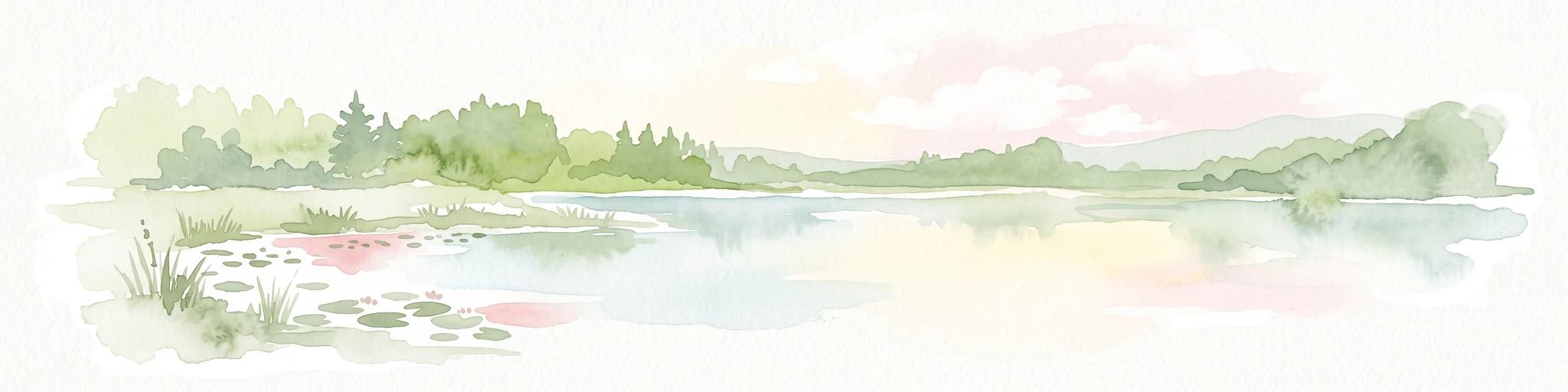
A horizontal watercolor painting showing a calm lake shore with green trees, reeds, and soft reflections on the water surface.
Nature reserveBaden-Württemberg
11 km away#3 closest

Southwest

Bodanrück und westl. Bodensee: Mapped Geography of an Extensive Nature Reserve

A glacial peninsula protected area in Baden-Württemberg

The Bodanrück und westl. Bodensee nature reserve represents a sprawling mosaic of ground moraines, drumlins, and kettle lakes along the shoreline of Lake Constance. This protected area supports a diverse array of habitats, from tufa-forming springs and alluvial forests to species-rich hay meadows, reflecting the complex ecological history of the German southwest.

Area
143.407 km²
Established
2004
Relief
Mixed relief
Climate
Temperate
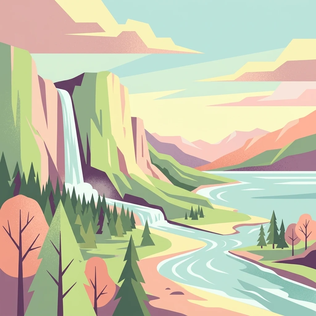
A flat, stylized illustration showing a waterfall cascading from a cliff into a river that flows alongside a forest towards a large body of water under a soft-toned sky.
Protected landscapeBaden-Württemberg
About 15 km away#4 closest

Southeast

Württembergisches Bodenseeufer: Protected Shoreline Landscapes of Lake Constance

A regional atlas of riparian habitats in Baden-Württemberg

Württembergisches Bodenseeufer preserves over 180 hectares of natural shoreline across Friedrichshafen, Langenargen, and Kressbronn am Bodensee. This protected landscape highlights essential riparian ecology, featuring diverse river mouth environments and largely unaltered forest edges that define the southern borders of the Bodenseekreis district.

Area
1.88 km²
Established
1940
Relief
Lowland
Climate
Temperate
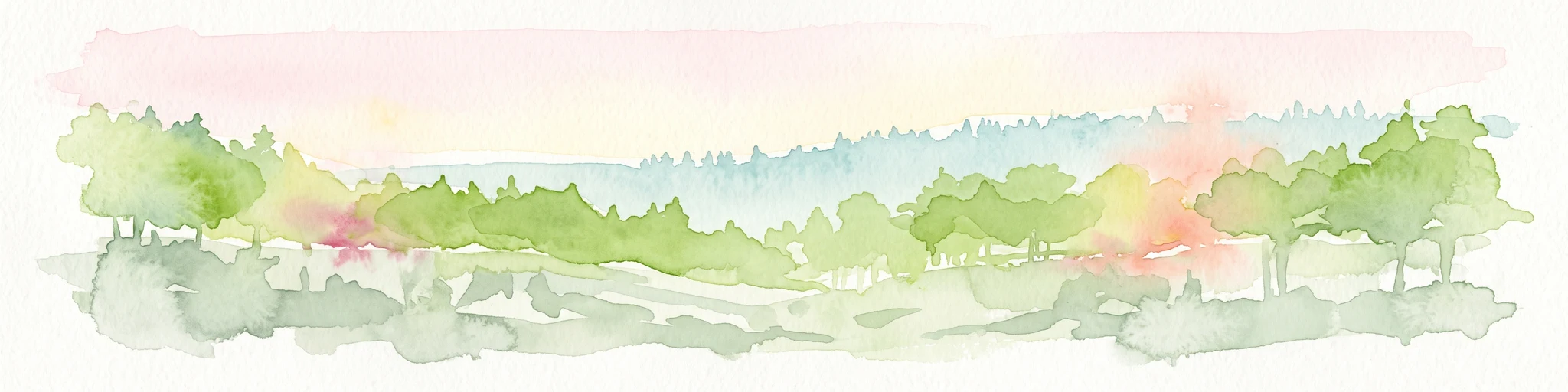
A soft, panoramic watercolor painting featuring green, rolling hills and a winding river or stream through a forested landscape against a bright, hazy sky.
Nature reserveBaden-Württemberg
16 km away#5 closest

East

Altdorfer Wald Nature Reserve: Geographic Atlas and Protected Landscape Overview

Mire, spring, and forest ecosystems in Baden-Württemberg

The Altdorfer Wald nature reserve consolidates a significant network of watercourses, peatlands, and old-growth forest stands across the Upper Swabian Pre-Alpine hills. This protected area stands as a primary focal point for understanding the interplay between hydrological richness, calcareous deposits, and diverse temperate forest habitats within the regional geography of Baden-Württemberg.

Area
13.71 km²
Established
2019
Relief
Upland
Climate
Temperate
Protected landscapeBaden-Württemberg
About 16 km away#6 closest

Southeast

Tettnanger Wald mit Hochwacht, Krüntenbühl, Reichenbühl, Argenhardter Kopf, Schoos und Steilrand des Argentales an dem Schwandenbogen: Geography and Protected Boundaries

A Glacial Landscape Protection Area in the Lake Constance Basin

This protected landscape in Baden-Württemberg captures a classic moraine terrain shaped by glacial retreat. With its system of ridges, dead-ice hollows, and escarpments along the Argen valley, the area serves as a critical geological reference point. Explore the detailed topography and mapped boundaries of this forest landscape within the broader Bodenseebecken region.

Area
7.01 km²
Established
1954
A soft watercolor painting of a rolling landscape featuring a winding river, grassy plains, and distant hills in muted green, pink, and yellow tones.
Protected landscapeBodenseekreis
About 19 km away#7 closest

Southeast

Spätwürmeiszeitliche Terrassen zwischen Burnau, Prestenberg, Vorderreute, Buch und Krumbach Geography

A protected landscape site in the Bodenseekreis district

Spätwürmeiszeitliche Terrassen zwischen Burnau, Prestenberg, Vorderreute, Buch und Krumbach is defined by its series of level river terraces resulting from Würm ice age glacial retreat. Spanning roughly 22 hectares near the Schwarzach river, the site remains a vital example of fluvioglacial geomorphology and regional landscape preservation within the pre-Alpine foreland.

Area
0.22 km²
Established
1963
Relief
Upland
Climate
Temperate
Protected landscapeBaden-Württemberg
About 19 km away#8 closest

Southeast

Steilrand und Schotterfeld des Argentals südlich der Kochermühle Protected Landscape Atlas

Glacial geomorphology and river terrace geography in Baden-Württemberg

This protected area provides a diagrammatic view of the Argen valley's ice-age origins. By preserving a Late Glacial terrace complete with its characteristic steep edge and gravel-strewn surfaces, it offers an essential geographic reference for understanding the retreat of the Würm ice within the wider Bodenseebecken region.

Area
0.081 km²
Established
1954
Relief
Lowland
Climate
Temperate

Common questions about visiting, size, designation, and location context for Deggenhauser Tal

Deggenhauser Tal FAQs for park facts, access, geography, and protected area context

Find quick answers about Deggenhauser Tal, including protected-area facts, park geography, trail and visitor context, and how the park fits into its surrounding country and regional landscape.
MoriAtlas Explorer

Continue Your Protected Areas Search Across the Global Atlas

Deepen your exploration by continuing the structured search for national parks and protected areas worldwide. Utilize the comprehensive filtering capabilities to compare different conservation landscapes and refine your understanding of global park geography. Discover more about the distribution and characteristics of protected natural areas.

Global natural geography