
Mori Atlas logo
Park guides

Seasonal context from Guanacaste dry forest to humid highlands

Diriá National Park seasonal timing guide for Guanacaste Province conditions

Use Diriá National Park's guides for steep valleys, watersheds, dry forest, humid highlands, and Brasil Waterfall. The timing guide compares clear, accessible trails from January through March with lush landscapes and greater wildlife activity from May to November, when frequent rain and possible closures require preparation.

Related tags

National ParkCosta RicaDry ForestCloud ForestNicoya Peninsula

Dry forest and cloud forest meeting point on the Nicoya Peninsula

Diriá National Park

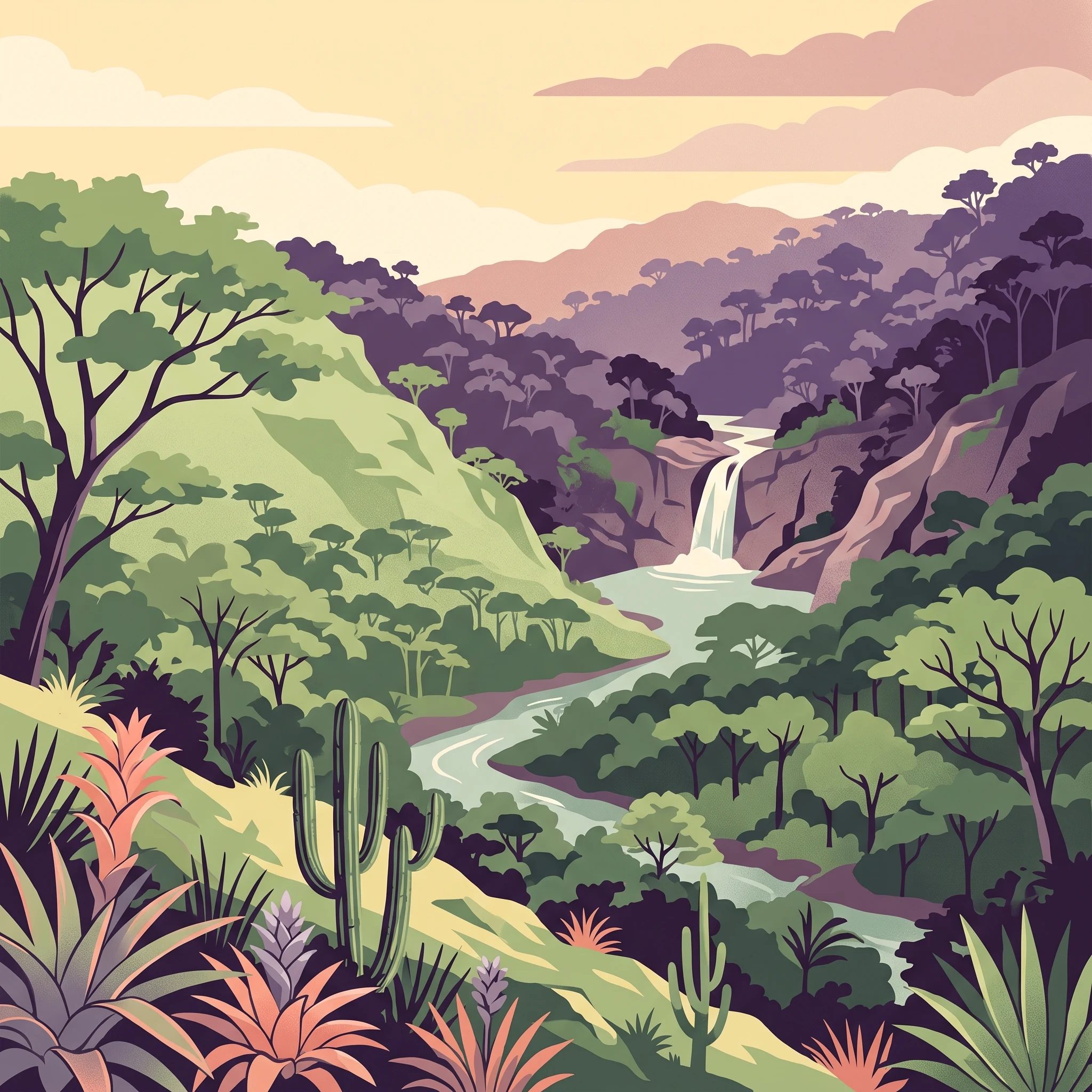
Diriá National Park occupies a distinctive geographic position in northwestern Costa Rica, forming part of the Tempisque Conservation Area within the Guanacaste Province. The park's terrain is defined by a complex system of valleys carved by the Diriá, Tigre, Verde, and Enmedio rivers, creating a landscape of steep slopes and deeper drainage channels that descend from the central highlands of the Nicoya Peninsula toward the lower-lying coastal zones. This topographic variation supports an ecological gradient that transitions from seasonally dry tropical forest in the lower elevations through transitional forest zones to humid montane forest at higher elevations. The park was originally designated as a protected zone in 1991, subsequently upgraded to national wildlife refuge status in 1993, and ultimately redesignated as Diriá National Park in 2004, reflecting Costa Rica's ongoing commitment to protected area management and expansion. The protected area serves as an important watershed for the four river systems that originate within its boundaries, providing downstream water resources for surrounding agricultural lands and communities.

Location
Costa Rica
Park type
National park
Established
1991
Area
28 km²
Diriá National Park Protected Area
1 guide

Compare specific planning themes and seasonal considerations for the protected area

Published Guides and Regional Reference Material for Diri%c3%a1 National Park

Browse the complete collection of published guides covering seasonal timing, trail access, and weather patterns for Diri%c3%a1 National Park. Each topic helps visitors evaluate dry season conditions versus rainy season landscape changes before planning a route.
MoriAtlas Explorer

Continue Your Geographic Discovery of Diriá National Park's Landscape

Deepen your understanding of Diriá National Park by exploring its specific geographic context and protected landscape features. Investigate its position within Guanacaste Province and how its mapped boundaries define this unique natural area. This continued exploration offers valuable insight into the park's atlas significance and its role in the regional geography.

Global natural geography