
A comprehensive index of marshlands, coastal dune systems, and wetland habitats
Named Natural Features and Geographic Landforms of Doñana National Park in Southern Spain
This geographic collection documents the specific natural features associated with Doñana National Park, where the Guadalquivir River delta meets the Atlantic Ocean. Users can browse an extensive mosaic of tidal channels, shifting sand barriers, and inland floodplains that define this ecological corridor. Each documented feature provides insight into the complex interaction between riparian wetlands, maritime terrain, and the surrounding protected landscapes of the Iberian Peninsula.
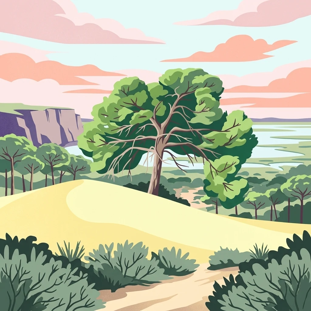
Map the lagoons, mobile dune systems, and tidal channels forming the Guadalquivir river delta
Geographic Landmarks and Natural Features Associated with Doñana National Park
Atlas of protected coastal and marshland features
Bays
Examine the distribution of bays and curved shoreline segments located in the delta region of Doñana National Park. This resource organizes these geographic entities to highlight their role in the coastal transition zone between the Atlantic Ocean and the extensive Spanish wetland systems.
Mapped coastal geography and delta landform distributions.
Peninsulas
This collection identifies the peninsula landforms within Doñana National Park, focusing on the geometry of coastal projections that emerge from the Guadalquivir River delta. Users can examine these features to understand how land-water configurations influence the distribution of marsh, tidal channels, and shifting dune systems across the park boundary.
Continue Atlas Exploration of Doñana National Park's Mapped Geography
Deepen your understanding of Doñana National Park by exploring its specific geographic features and protected landscape context. This page serves as a gateway to comprehending its position within the Huelva region and the broader atlas of Spain's natural areas. Continue your discovery of its mapped terrain and its significance as a protected natural entity.