
Mori Atlas logo
Nature reserveFelsenberg-Berntal

Analyzing the transition between the Palatinate Forest and the Rhine valley landscape.

Felsenberg-Berntal Nature Reserve: A Detailed Geographic Atlas of Protected Limestone Landscapes

(Naturschutzgebiet Felsenberg-Berntal)

Felsenberg-Berntal represents a critical intersection of ecological and geological zones within the eastern Haardt ridge of the Palatinate Forest. This nature reserve, situated in the Bad Dürkheim district of Rhineland-Palatinate, features a complex terrain of rocky limestone ridges and abandoned vineyard terraces. The area serves as a primary study site for dry grassland ecosystems and Mediterranean-like scrub habitats that thrive along the exposed slopes of the Rhine plain margin.

nature reserveprotected areadry grasslandsteppe vegetationlimestone habitatsformer vineyards
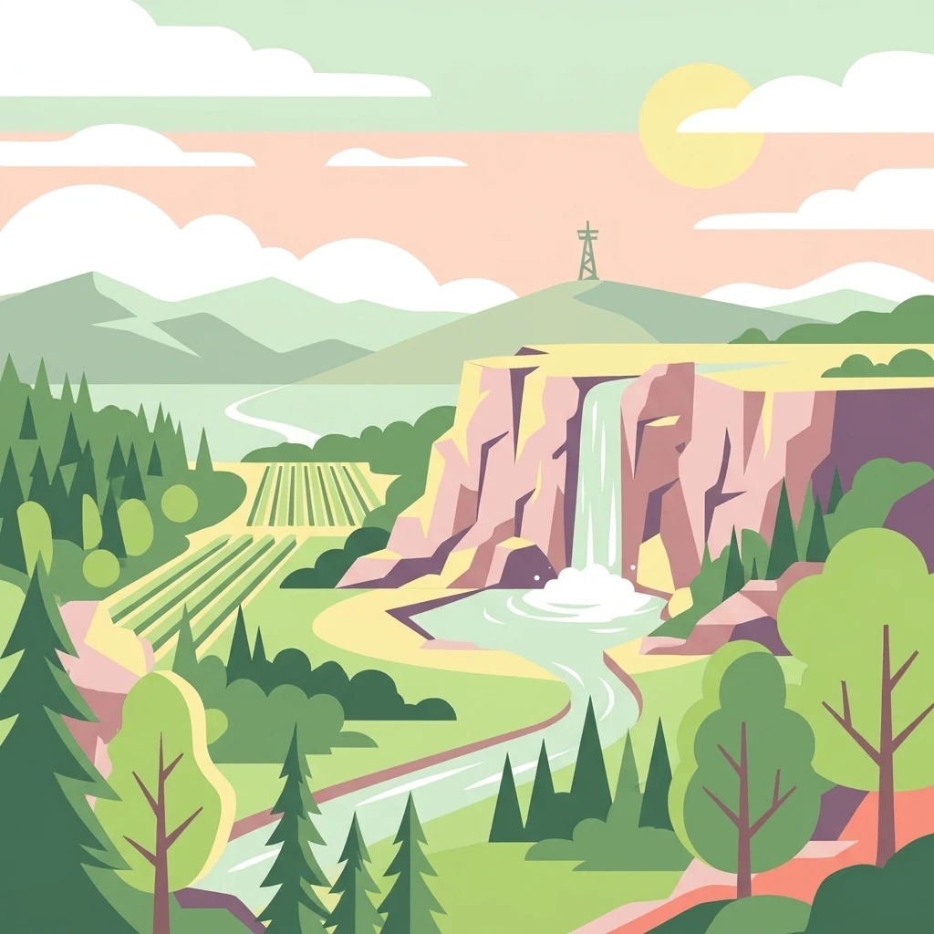
A digital vector illustration showing a landscape with limestone-style cliffs, a waterfall dropping into a pool, a winding river, and vineyards in the foreground under a pale sun.

Felsenberg-Berntal

Nature reserve

Park overview

Structured park overview, official facts, and landscape profile for Felsenberg-Berntal

Felsenberg-Berntal park facts, protected area profile, and essential visitor context

Review the core facts for Felsenberg-Berntal, including designation, size, terrain, visitor scale, habitats, and operating context in one park-focused overview.

About Felsenberg-Berntal

Felsenberg-Berntal is a compact but ecologically rich nature reserve at a sensitive ecological boundary. Geographically, it occupies the eastern drop of the Haardt, the forested mountain front that forms the edge of the Pfälzerwald toward the Upper Rhine Graben. This position between forest and plain, between relatively cool and moist western slopes and the warmer, drier Rhine plain, creates a transitional habitat pattern that supports both woodland-edge and steppe-like species.

The reserve is essentially a landscape of two halves. The Felsenberg forms a rocky ridge along the northern margin of the valley, with limestone cliffs, terraces, and exposed stony ground. The Berntal itself is a dry valley running roughly from southwest to northeast and then east, bounded to the west by the L 517 and to the east by the Deutsche Weinstraße (Bundesstraße 271). Despite its modest size of about 1.2 kilometers in length, this valley captures a remarkable gradient of microhabitats, from sun-exposed rock faces to scrub, dry grassland, old orchard meadows, and former vineyard terraces.

Ecologically, the reserve is shaped by the underlying tertiary limestone of the Lower Wiesbaden Formation. The soluble rock has been weathered into karst-like forms, with fissures and cavities that historically sheltered bears and, more recently, have yielded archaeological and biological finds in nearby caves. Although the famous Herxheimer Karsthöhle lies just outside the protected zone, its presence underscores the geological significance of these slopes.

The reserve's modern character is not entirely natural in origin. The abandonment of marginal vineyards in the mid-twentieth century removed intense land use from the valley and allowed scrub and dry grassland to establish. Subsequent conservation management has re-opened parts of that landscape through mowing, grazing, and selective clearing, producing the mosaic of Magerrasen, scattered fruit trees, and thermophilic shrub communities seen today. Because of this mixture of historical land use and ongoing stewardship, the area functions both as a refuge for specialized dry-habitat species and as a research and demonstration site for habitat management in the western Palatinate.

Quick facts and research context for Felsenberg-Berntal

Felsenberg-Berntal Nature Reserve lies in the Bad Dürkheim district of Rhineland-Palatinate, in southwestern Germany. It sits at the eastern edge of the Pfälzerwald, where the forested Haardt escarpment meets the Upper Rhine Plain. The reserve covers roughly 300 hectares and ranges in elevation from about 170 to 225 meters.

The protected area was formally established in its current extent in the year 2000 through a legal ordinance dated December 1999, incorporating earlier protections for the Felsenberg that date back to 1954. It is classified as an IUCN Category IV Habitat/Species Management Area and carries the designation NSG 7332-203. The reserve is also part of the EU Bird Protection Area Haardtrand (DE 6514-401). It spans the municipal areas of Bad Dürkheim, Herxheim am Berg, and Kallstadt, and stretches about 1.2 kilometers between two regional roads.

Protection and recognition

Examine the official designation history and terrestrial conservation framework.

Felsenberg-Berntal Protection Status and International Recognition Record

Felsenberg-Berntal holds a documented terrestrial protection status established in the year 2000. Systematic records outline the management scope and official designation history for rigorous conservation analysis.

Protection details

Protection scope
Terrestrial
Designated year
2000
Transboundary protection
No
WDPA ID
318388
Park context

Deeper park guide and search-rich context for Felsenberg-Berntal

Felsenberg-Berntal history, landscape, wildlife, and travel context

Explore Felsenberg-Berntal through its history, landscape character, ecosystems, wildlife, conservation priorities, cultural context, and seasonal travel timing in a structured park guide built for atlas discovery and search intent.

Why Felsenberg-Berntal stands out

Felsenberg-Berntal is especially known for its steppe-like dry grassland on limestone, the so-called Kopflauch-Pfriemengras steppe meadows that survive on the rocky Felsenberg ridge. This unusual vegetation, combined with thermophilic scrub and stone habitats, gives the reserve an almost Mediterranean feel within the otherwise forested landscape of the Pfälzerwald. The nature reserve is also notable for rare bird species that depend on these warm, open slopes, including the cirl bunting, woodlark, and northern wheatear, as well as for an unusually rich and unmanaged insect fauna. The presence of orchid species, the endangered regional Gagea bohemica, and old high-stem orchard trees adds to its standing as a botanical and ornithological hotspot in the Vorderpfalz.
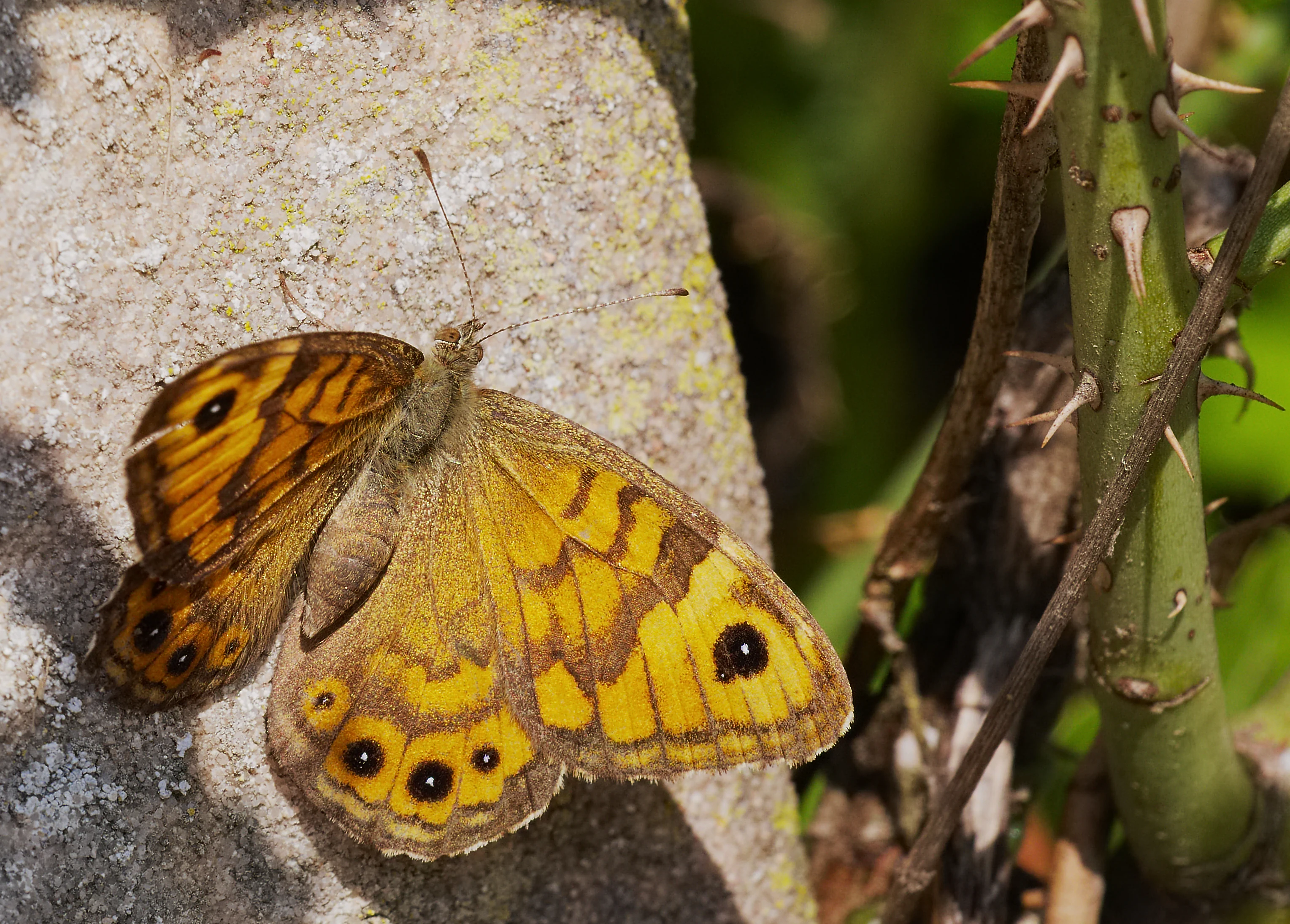
A close up view of a brown and orange Wall Brown butterfly with distinct eye spots resting on a light colored stone next to a green thorny plant stem.
A Wall Brown butterfly resting on a textured surface in Felsenberg-Berntal.

Felsenberg-Berntal history and protected-area timeline

The name of the reserve reflects two layers of local history. The word Felsenberg, meaning rock mountain, simply refers to the prominent limestone ridge that dominates the northern flank of the valley. The older name Berntal is understood as a contraction of Bärental, or bear valley, referring to the limestone cavities in the hillside that once sheltered brown bears. Although these karst hollows are no longer used by bears, the toponym retains the memory of an earlier, wilder landscape.

The Felsenberg itself was already placed under nature protection in 1954 as a smaller, separate reserve. This early designation reflected recognition of its geological and botanical value, particularly the unusual dry grassland communities on its rocky crest.

A second wave of change came in the 1960s and 1970s, when many of the steep, marginal vineyards on the slopes of the Berntal were abandoned because economic conditions for viticulture had deteriorated. Without regular cultivation, these terraces gradually became overgrown with shrubs, a process known as Verbuschung, but they also developed a rich wild flora that attracted conservation interest.

In 1999, the Rhineland-Palatinate authorities issued a legal ordinance that brought the broader valley under protection effective January 2000, merging and extending the earlier Felsenberg reserve to create the current Felsenberg-Berntal Nature Reserve. Since then, the Pollichia association has played a central role, acquiring private parcels and managing the site through mowing, grazing, and targeted removal of encroaching shrubs. In 2019, for example, around 1.5 hectares of former vineyard terraces on Pollichia-owned land were cleared of dense shrub cover to restore open Magerrasen and to re-expose old vineyard walls, partly as a compensatory measure for habitat loss elsewhere in the region.

Felsenberg-Berntal landscape and geographic character

The landscape of Felsenberg-Berntal is shaped by the geological contact between the forested uplands of the Palatinate Forest and the flat Rhine plain to the east. The Haardt, the steeply rising eastern rim of the Pfälzerwald, presents a near-vertical cliff face in places, and it is on this broken limestone edge that the Felsenberg-Berntal reserve is situated. The terrain is therefore characterized by abrupt transitions: dense forest above, open rocky slopes below, and a dry valley floor between.

Within the reserve, the Felsenberg forms a striking northwest-facing rock band of limestone, behind which lies a flat rocky plateau shaped by tertiary weathering. This exposed limestone surface hosts the most distinctive scenery of the reserve, particularly the surviving dry grassland and steppe-like vegetation. The northern and northwestern slopes of the valley show a pronounced fault scarp, where the contrast between forest edge and open valley is sharpest.

The Berntal is classified as a Trockental, or dry valley, because surface water drains away quickly through the permeable limestone. Since the 1980s, accumulated rainfall has even been pumped into the drainage system of the adjacent L 517 toward Bad Dürkheim, leaving the valley almost permanently dry at the surface. Combined with old vineyard terraces, dry-stone walls, and constructed stone piles, this gives the valley an unusually open, sunny, and rocky character that contrasts with the dense woodland around it.
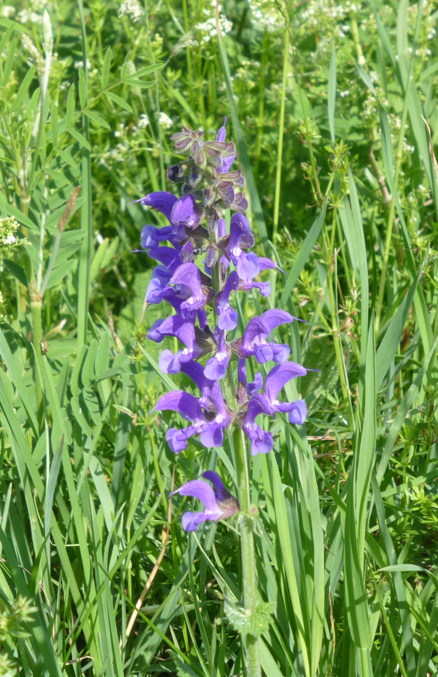
A close-up view of a vibrant purple flower spike rising from a background of green meadow grass and other small white wildflowers.
A purple wildflower blooming in the dry grasslands of Felsenberg-Berntal Nature Reserve.

Felsenberg-Berntal ecosystems, habitats, and plant life

The nature of Felsenberg-Berntal is defined by its dry, calcareous habitats. The biotope types include thermophilic blackthorn and privet scrub, ruderal dry grassland on former vineyard land, and open Magerrasen that have developed through active management. Patches of high-stem orchard, planted with old regional fruit varieties, add structural variety and additional habitat value.

The flora is one of the reserve's most distinctive features. On the limestone plateau, the so-called Kopflauch-Pfriemengras steppe grassland hosts notable species such as the Blaugrüner Faserschirm and several orchids. The Felsen-Goldstern (Gagea bohemica), a rare lily-family plant, grows on the calcareous rock band, even though it is more commonly associated with non-calcareous substrates elsewhere in its range. Human-made stone piles, called Pocheln, mark the southern margin of the valley and provide additional microhabitats for warmth-loving plants.

The reserve's ecological character is strongly influenced by management. Mowing, grazing, and shrub removal aim to keep the Magerrasen from being lost to recolonizing forest, while preserving scattered bushes and stone structures to maintain habitat complexity. A more recent conservation concern is the spread of the Orientalisches Zackenschötchen, an invasive species from southeastern Europe that has been expanding in the area since around 2015 and can form dense stands that displace native flora.
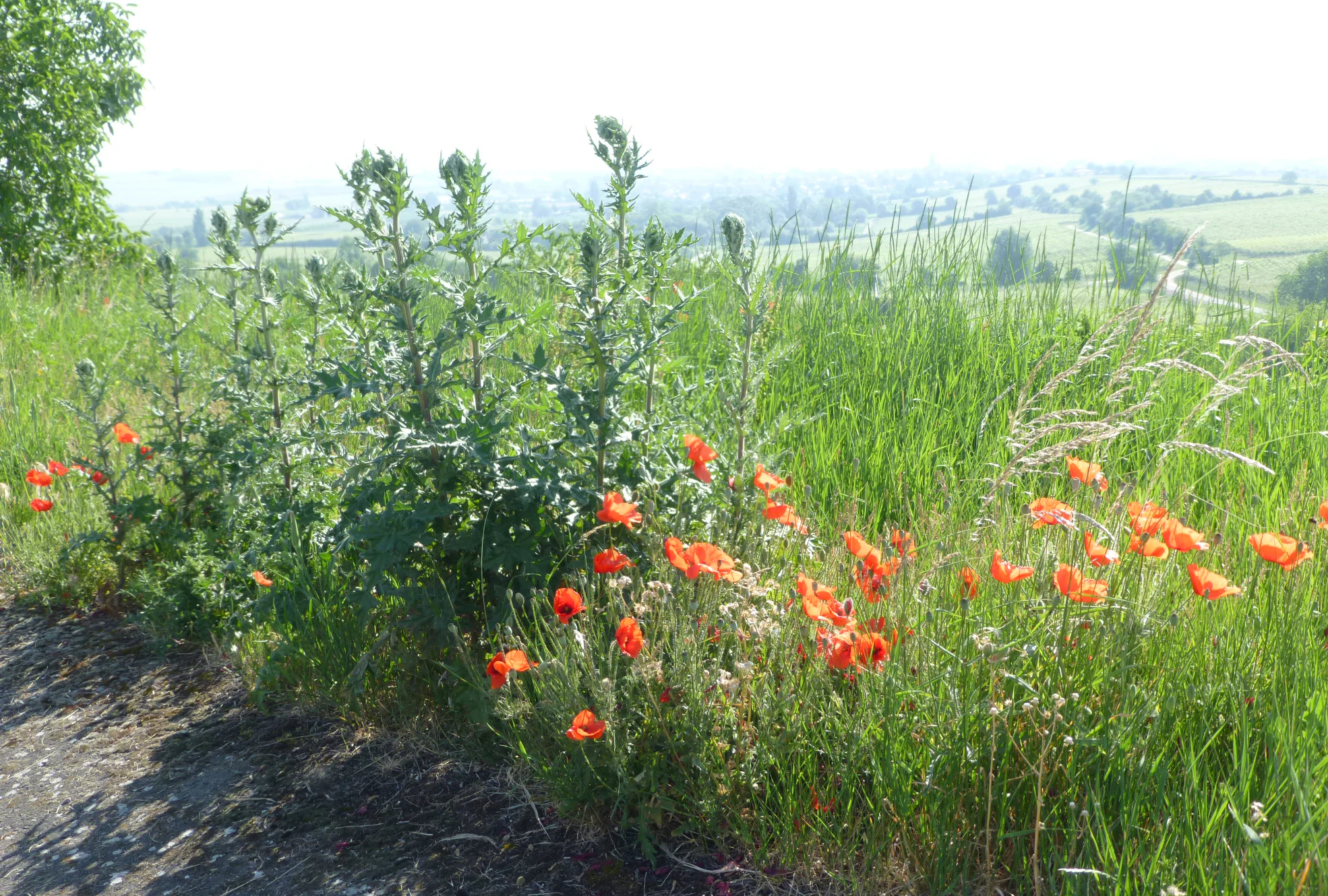
A cluster of red poppies and tall green thistles growing in a grassy meadow with a soft, bright background.
Red poppies and thistles blooming in the Felsenberg-Berntal Nature Reserve.

Felsenberg-Berntal wildlife and species highlights

The wildlife profile of Felsenberg-Berntal is shaped by warm, open, stony habitats that favor thermophilic species. The reserve is particularly valued for birds that have become uncommon in the surrounding agricultural and forested landscape. Species regularly associated with the area include the cirl bunting, woodlark, and northern wheatear, all of which depend on the combination of open ground, scrub, and scattered structures.

The insect fauna is also notably diverse, with a richness that is described as largely unmanaged by humans. The photo gallery from the reserve even highlights the wall brown butterfly, an insect typical of sun-exposed rocky environments. This entomological diversity is closely tied to the reserve's flora, since the open dry grassland and scrub mosaic supports a wide range of nectar sources, larval host plants, and shelter structures.

Among reptiles, the wall lizard is recorded in the reserve, taking advantage of the warm stone walls, exposed rock faces, and stone piles. The presence of a stable native wall lizard population has also conservation significance beyond the reserve: in 2019, exposed stone walls and new stone piles in the area were created partly as compensatory habitat to support the local German subspecies following losses elsewhere in the region.
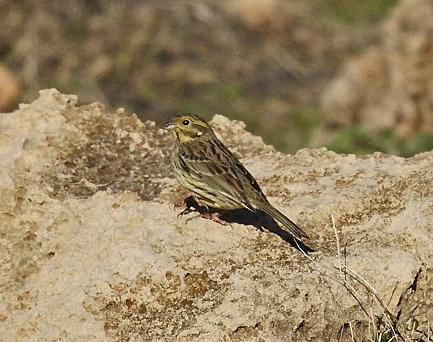
A cirl bunting with brown and yellow-streaked plumage perched on a textured, light-colored limestone rock.
A cirl bunting perched on a limestone rock within the Felsenberg-Berntal nature reserve.

Felsenberg-Berntal conservation status and protection priorities

Felsenberg-Berntal is protected as a Naturschutzgebiet under German nature conservation law and is classified as an IUCN Category IV Habitat/Species Management Area, recognizing its role in active management of specific habitats and species rather than as a strict wilderness reserve. Its identification number is NSG 7332-203. The reserve is also part of the EU Bird Protection Area Haardtrand (DE 6514-401), which links it to a broader network of bird-relevant sites along the eastern margin of the Pfälzerwald.

Its conservation importance stems from several converging factors. The combination of calcareous geology, warm microclimate, former vineyard terraces, and active management produces rare steppe-like and dry grassland habitats in a region otherwise dominated by forest or intensive agriculture. The reserve therefore protects habitat types that are scarce and shrinking within the broader cultural landscape of the Vorderpfalz.

Conservation management is carried out primarily by the Pollichia, a regional scientific and conservation association, which both researches the site and purchases private parcels to bring them under coherent management. Interventions include the removal of encroaching shrubs, mowing of abandoned vineyard terraces, the reintroduction of grazing, the planting of high-stem orchard trees with old regional varieties, and the creation of stone structures to enhance reptile and insect habitat. Compensatory conservation measures are also implemented here for habitat loss elsewhere in the region, reinforcing the reserve's role as a practical site for applied habitat management in Rhineland-Palatinate.

Felsenberg-Berntal cultural meaning and human context

The cultural context of Felsenberg-Berntal is closely tied to the long history of viticulture in the Vorderpfalz. Before its designation as a nature reserve, the valley was a working agricultural landscape, with vineyards climbing the limestone slopes for centuries. The dry-stone walls, terrace lines, and the toponym itself are physical traces of this wine-growing heritage. The road along the eastern edge of the valley, the Deutsche Weinstraße, frames this transition from working wine country to protected nature area.

The valley's older name, Bärental, also carries cultural weight. It preserves a folk memory of an earlier fauna, with brown bears once using the karst cavities of the limestone hillside as shelters. While no longer accurate ecologically, this naming tradition links the site to broader regional histories of woodland, hunting, and wild animals in the Palatinate.

Today, the reserve sits at the meeting point of several local municipalities, including Bad Dürkheim, Herxheim am Berg, and Kallstadt, all communities strongly identified with wine, orchards, and the eastern edge of the Pfälzerwald. Conservation work in the reserve is led by the Pollichia, a regionally rooted scientific association that connects natural history, citizen science, and local identity.
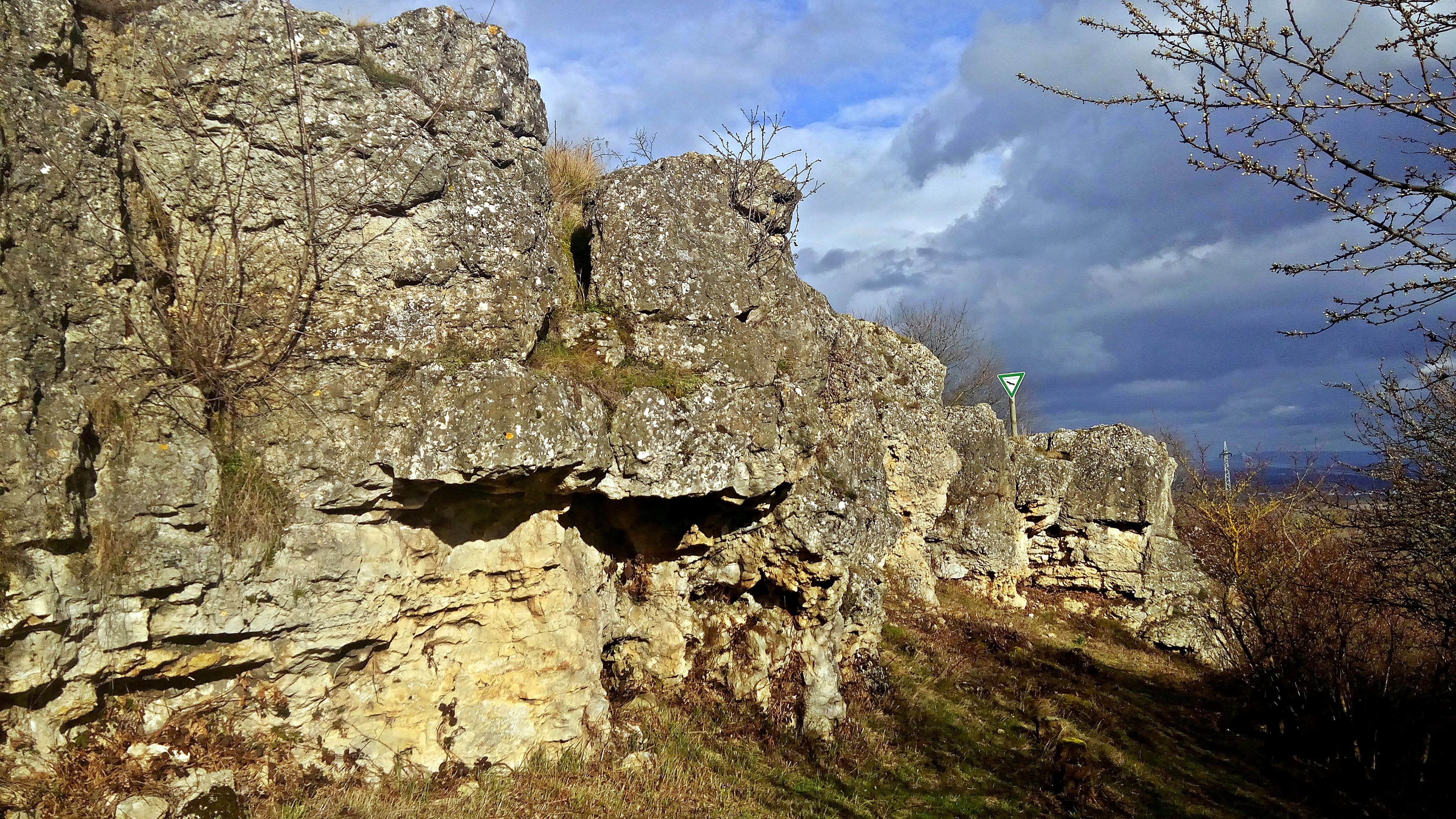
A line of textured, weathered limestone rock formations rising from a hillside, under a sky with patchy clouds.
Limestone cliff formations at Felsenberg-Berntal nature reserve.

Top sights and standout views in Felsenberg-Berntal

Felsenberg-Berntal stands out for the unusual combination of geological, botanical, and ornithological values compressed into a very small area. The Kopflauch-Pfriemengras steppe grassland on the Felsenberg ridge is one of the most charismatic features, offering an almost Mediterranean character unusual for this part of Germany. The presence of rare birds such as the cirl bunting and the wall lizard, alongside a notably rich unmanaged insect fauna, gives the reserve strong biodiversity value beyond its modest size.

Equally distinctive is the reserve's story as a former wine-growing valley transformed through abandonment and active restoration into a refuge for dry-habitat species. The combination of thermophilic scrub, Magerrasen, old orchard trees, and intentionally created stone structures makes it both a living conservation laboratory and a representative example of the Haardtrand landscape along the eastern edge of the Pfälzerwald.
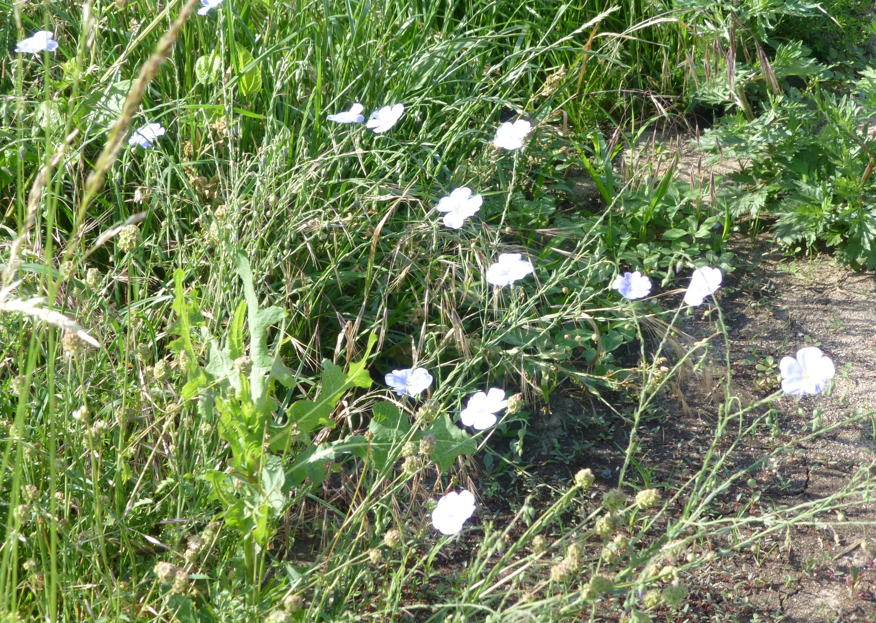
A close up view of small white five-petaled wildflowers growing among tall green grass in a meadow.
Small white wildflowers blooming in the grasslands of the Felsenberg-Berntal nature reserve.

Best time to visit Felsenberg-Berntal

Felsenberg-Berntal is at its most expressive in late spring and early summer, when the steppe and dry grassland vegetation on the limestone plateau comes into full flower. Orchid species and other characteristic dry-habitat plants are most visible during this period, and the thermophilic scrub communities are in active growth. Early morning or late afternoon visits in this season offer the best combination of mild temperatures on the open rocky slopes and the highest chance of seeing birds such as the woodlark singing over the valley.

Late summer and early autumn can also be rewarding, when the diversity of insects on the warm slopes is at its peak and the dry grassland takes on golden tones. Because the valley's microclimate is warmer and drier than the surrounding forest, the reserve can feel surprisingly Mediterranean even outside the warmest months, but visitors should be aware that the site has been the subject of visitor-management concerns due to trampling pressure on fragile vegetation.


Monthly climate preview

Long term monthly temperature and precipitation averages for Felsenberg Berntal

Felsenberg Berntal Climate Normals and Annual Temperature Rhythm

Historical data records a measured annual rhythm of monthly temperature variations and precipitation rates across the representative coordinate. Detailed twelve month breakdowns provide complete meteorological insight into long term climate normals.
Annual mean10 °C
0 °C20 °C
Jan
Feb
Mar
Apr
May14°
Jun18°
Jul20°
Aug20°
Sep15°
Oct10°
Nov
Dec
Warmest month
July

20.4 °C

Coolest month
January

0.3 °C

Wettest month
July

2.2 mm/day

Driest month
April

1.4 mm/day

Park location guide

Geography guide, regional context, and park location map for Felsenberg-Berntal

Felsenberg-Berntal park geography, regions, and map view in Germany

Understand where Felsenberg-Berntal sits in Germany through a broader geographic reading of the surrounding landscape, nearby location context, and its mapped position within the national park landscape.

How Felsenberg-Berntal fits into Germany

Germany is a federal republic in Western and Central Europe with a population of over 83 million across sixteen constituent states. It is Europe's largest economy by nominal GDP and a major global exporter and importer. The capital is Berlin, and the country borders Denmark, Poland, Czech Republic, Austria, Switzerland, France, Luxembourg, Belgium, and the Netherlands.

Wider geography shaping Felsenberg-Berntal in Germany

Germany is located in Western and Central Europe, spanning 357,022 km². It borders Denmark to the north, Poland and the Czech Republic to the east, Austria and Switzerland to the south, and France, Luxembourg, Belgium, and the Netherlands to the west. The country has coastlines on the Baltic Sea and North Sea to the north, with the Alps located in the southern region.

Map view of Felsenberg-Berntal

Use this park location map to pinpoint Felsenberg-Berntal in Germany, understand its exact geographic position, and read its mapped placement within the surrounding landscape more clearly.

Pigeon | © OpenStreetMap contributors

Location context for Felsenberg-Berntal

Rhineland-Palatinate

Visual reference collection showcasing limestone ridges, dry valley habitats, and terrain character.

Felsenberg-Berntal Photos, Landscapes, and Protected Area Scenery

Visual documentation of Felsenberg-Berntal reveals the striking geological transition where forested hill country drops toward open plains. Photographic records highlight rare dry grasslands, exposed limestone formations, and Mediterranean-style plant communities.

A close up view of a brown and orange Wall Brown butterfly with distinct eye spots resting on a light colored stone next to a green thorny plant stem.

A wide outdoor landscape view showing a rocky limestone cliff in the right foreground overlooking a lush green valley with vineyard rows, rolling hills, and a forest in the background under a blue sky with white clouds.

A close-up view of a vibrant purple flower spike rising from a background of green meadow grass and other small white wildflowers.

A cluster of red poppies and tall green thistles growing in a grassy meadow with a soft, bright background.

A cirl bunting with brown and yellow-streaked plumage perched on a textured, light-colored limestone rock.

A wide, eye-level view of the Felsenberg-Berntal nature reserve, showing a valley slope covered in shrubs and herbaceous vegetation with a limestone cliff edge in the background under a clear sky.

A line of textured, weathered limestone rock formations rising from a hillside, under a sky with patchy clouds.

A close up view of small white five-petaled wildflowers growing among tall green grass in a meadow.

Park atlas

Compare surrounding regional nature reserves and forest margins

Parks Near Felsenberg-Berntal and Connected Protected Landscapes

Browsing other protected areas near Felsenberg-Berntal reveals matching limestone ridges and dry valley ecosystems across the Palatinate Forest. Expanding the geographic scope helps connect isolated grassland habitats with broader regional conservation networks.
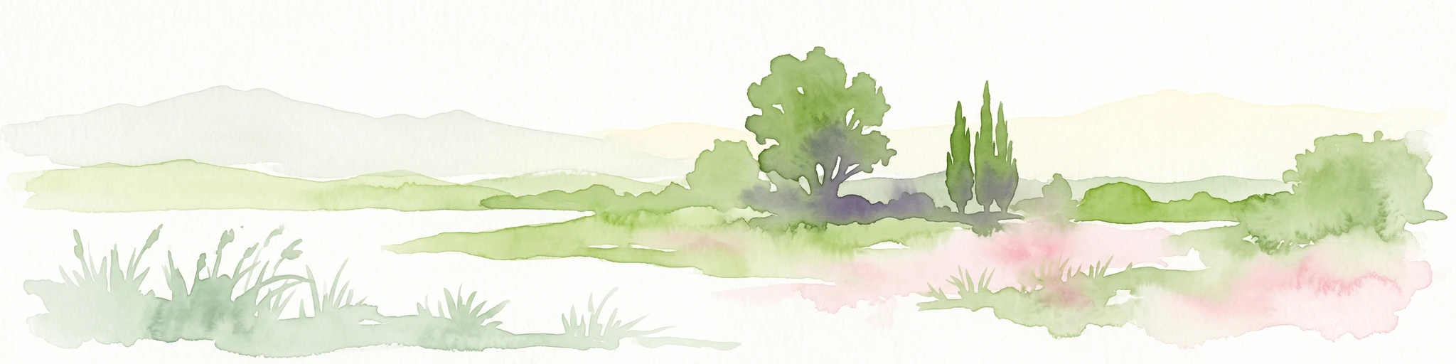
A soft, light watercolor painting of a rolling rural landscape featuring rows of vineyards in the foreground and tree-covered hills in the distance.
Nature reserveRheinland-Pfalz
Mapped location lies within the park boundary#1 closest

Southeast

Haardtrand Nature Reserve: Geographic Overview and Protected Landscape Mapping

Bird protection area within the Rheinland-Pfalz region.

Spanning roughly 14,700 hectares, Haardtrand serves as a critical link between the Palatinate Forest and the Rhine valley. This nature reserve is composed of a distinctive mosaic of habitat types, including mature broadleaf woodlands, traditional orchard meadows, and sandy terraces, which together create a highly structured environment for diverse raptors and forest-dwelling bird species.

Area
147.28 km²
Established
2004
A minimalist watercolor illustration featuring a soft, light-toned marsh landscape with green trees, reeds, and rolling hills in the background.
Nature reserveLandkreis Bad Dürkheim
About 2.8 km away#2 closest

Southeast

Dürkheimer Bruch: An Ecological Mosaic in the Palatinate Landscape of Germany

A protected Natura 2000 wetland and salt meadow reserve

Dürkheimer Bruch features a finely textured lowland mosaic of wet meadows, streams, and shrubs. This nature reserve, located within the broader geography of Landkreis Bad Dürkheim, is notable for its rare inland salt meadows and its critical role in supporting protected bird species and wetland fauna.

Area
6.98 km²
Established
2005
IUCN
IV
Relief
Lowland
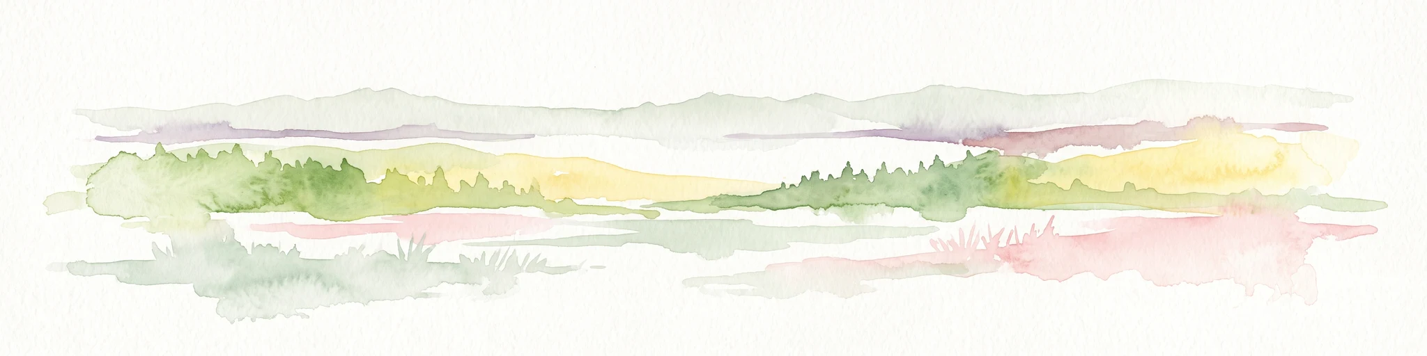
A horizontal watercolor painting showing a soft, abstract landscape with patches of green forest, yellow meadows, and pale pink marshland against a light background.
Nature reserveRheinland-Pfalz
About 8.5 km away#3 closest

South

Forster Bruch Nature Reserve: Geography and Protected Habitat Mapping in Rhineland-Palatinate

Ecological transition zone between forest slopes and agricultural loess plains.

Forster Bruch represents a rare surviving patch of Feuchtgrünland, providing a essential refuge for meadow-dwelling birdlife within the highly cultivated landscape of the Palatinate. This protected area highlights the intersection of historic rail infrastructure and natural wetland restoration, serving as a distinct geographic landmark that contrasts sharply with the surrounding vineyards and forested Haardtrand slopes.

Area
0.49 km²
Established
2008
IUCN
IV
Relief
Lowland
Watercolor painting of a rolling landscape with green fields, forested hills in the distance, and soft hazy lighting.
Nature reserveRheinland-Pfalz
About 12 km away#4 closest

Southwest

Drachenfels Nature Reserve: Geography and Protected Landscapes of the Palatinate Forest

A sandstone summit and protected ecosystem in Rheinland-Pfalz

The Drachenfels massif is a classic blocky sandstone summit located in the Palatinate Forest, characterized by its 13-hectare protected summit plateau and weathered rock outcrops. This area provides a look into the region's complex sedimentary history, where Bunter sandstone cliffs meet dense forest slopes. The site serves as a distinct landmark within the broader landscape of the Middle Palatinate Forest, showcasing geological features and natural terrain patterns that define the local environment.

Area
0.125 km²
Established
1972
Relief
Mountain
Climate
Temperate
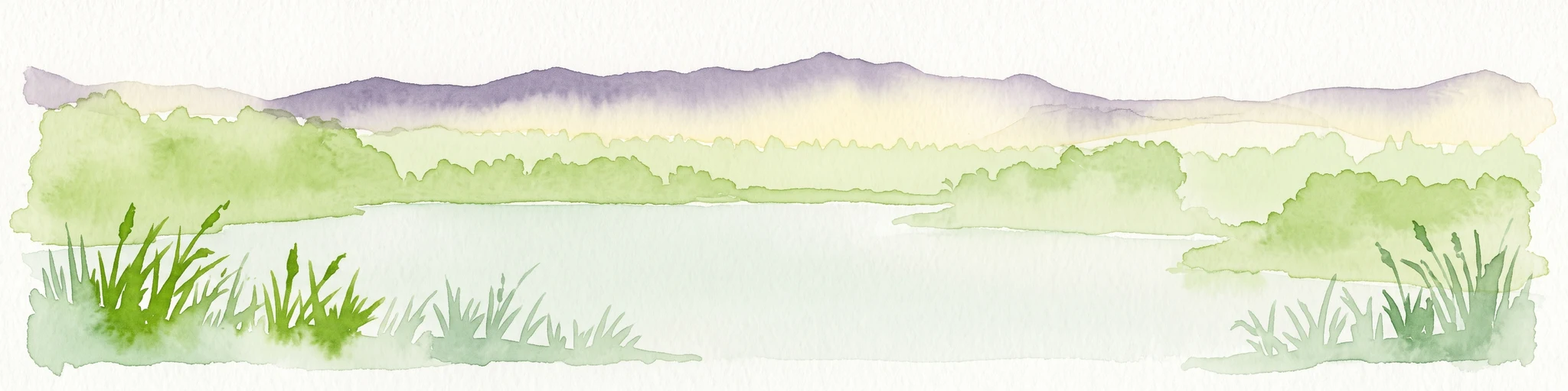
A horizontal watercolor illustration depicting a calm lake with grassy foreground reeds and distant soft purple hills under a clear sky.
Nature reserveRhineland-Palatinate
About 15 km away#5 closest

South

Mußbacher Baggerweiher Nature Reserve in the Rhineland-Palatinate Protected Landscape Atlas

Wetland habitat mosaic and post-industrial geography

Mußbacher Baggerweiher stands as a textbook example of industrial recovery, where a former extraction site for motorway construction transformed into a thriving protected wetland. Situated in the eastern reaches of Neustadt an der Weinstraße, the reserve offers a dense mosaic of shoreline habitats, sheltered water, and small islands that contribute significantly to regional conservation in the Upper Rhine Plain.

Area
0.205 km²
Established
1989
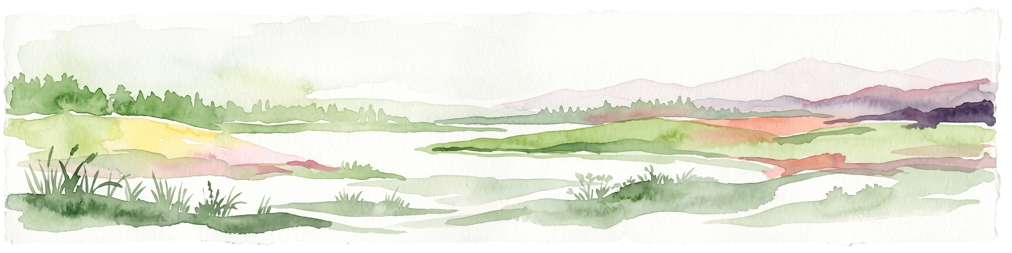
A minimalist watercolor illustration of a wetland scene with soft green hills in the distance, a central water body, and faint pink and green vegetation in the foreground against a white background.
Protected areaRhineland-Palatinate
About 15 km away#6 closest

East

Maudacher Bruch: Protected Wetland and Historical Meander in Rhineland-Palatinate

Mapping the urban marshes and meadows of Ludwigshafen

Maudacher Bruch is a significant protected area in Rhineland-Palatinate, defined by its origin as an ancient silted-up meander of the River Rhine. This horseshoe-shaped landscape sustains diverse wetland habitats and serves as a natural counterpoint to the surrounding industrial city. Explore its complex geography, from the central marshland meadows and ponds to the elevated views across the Upper Rhine Plain.

Area
5.23 km²
Relief
Lowland
Climate
Temperate
Access
Easy access
Nature reserveRheinland-Pfalz
About 16 km away#7 closest

South

Naturschutzgebiet Am Wolfsberg: Protected Nature Reserve and Botanical Landscape Atlas

Ecological terrain and geological layers in the Palatinate Forest

Naturschutzgebiet Am Wolfsberg is a specialized nature reserve in Rheinland-Pfalz, characterized by its steep, sun-exposed sandstone slopes and rare dry grassland vegetation. This protected area serves as an essential site for studying submediterranean flora and the interplay between historical quarry workings and forest ecosystems. The reserve provides a distinct glimpse into the climatic and geological variety of the Haardt massif.

Area
0.03 km²
Established
1984
Relief
Mountain
Climate
Temperate
A soft watercolor painting depicting a rolling landscape with fields, a small forest edge, and a mountain peak in the background.
Protected areaRhineland-Palatinate
About 19 km away#8 closest

Northwest

Donnersberg Protected Area: A Geographic Atlas of the Palatinate Region's Highest Massif

Geological landscapes, Celtic heritage sites, and forested mountain terrain.

The Donnersberg massif represents a critical point of geographic and archaeological interest in Rhineland-Palatinate. This protected area encompasses a 24-square-kilometer rhyolite cryptodome featuring high-altitude plateaus, a complex network of forest ecosystems, and well-preserved remnants of ancient Celtic fortifications. Its steep slopes and diverse rock formations offer a clear look at the geological and historical layering of the German landscape.

Area
24 km²
Relief
Mountain
Climate
Temperate
Access
Easy access

Common questions about visiting, size, designation, and location context for Felsenberg-Berntal

Felsenberg-Berntal FAQs for park facts, access, geography, and protected area context

Find quick answers about Felsenberg-Berntal, including protected-area facts, park geography, trail and visitor context, and how the park fits into its surrounding country and regional landscape.
MoriAtlas Explorer

Continue Your Protected Areas Search Across the Global Atlas

Deepen your exploration by continuing the structured search for national parks and protected areas worldwide. Utilize the comprehensive filtering capabilities to compare different conservation landscapes and refine your understanding of global park geography. Discover more about the distribution and characteristics of protected natural areas.

Global natural geography