
Rapids
Park geography
Analyzing the terrain, regional context, and physical landscape of this protected area.
Comprehensive Geographic Profile and Mapped Boundaries of Flaming Gorge National Recreation Area
This geographic profile details the 839 square kilometer footprint of Flaming Gorge National Recreation Area within Wyoming and Utah. The analysis documents its upland relief, arid climate zones, and significant riverine and lacustrine features, including the Green River and Flaming Gorge Reservoir. Data traces internal natural landmarks ranging from river rapids to mountain range segments.
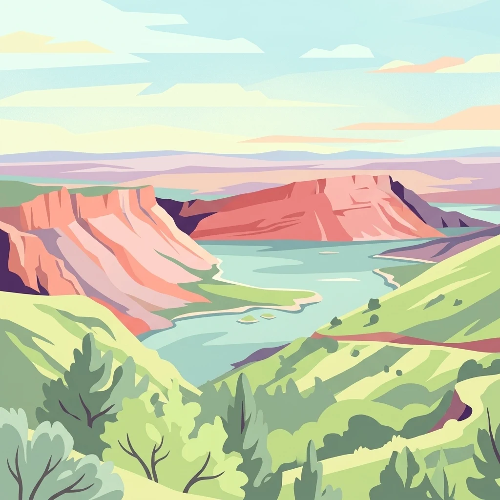
A vast reservoir and red canyon country spanning the Wyoming-Utah border, shaped by the Green River.
Flaming Gorge National Recreation Area
Flaming Gorge National Recreation Area is a large United States national recreation area straddling the border between southwestern Wyoming and northeastern Utah. Its centerpiece is the long, winding Flaming Gorge Reservoir, formed by the Green River and flanked by striking red sandstone cliffs that gave the area its dramatic name. The recreation area protects a wide corridor of canyon country, high desert terrain, forested uplands, and a major stretch of water that defines both the landscape and the visitor experience. It is administered by the Ashley National Forest and combines hydropower infrastructure with extensive outdoor recreation opportunities such as boating, fishing, camping, hiking, and rafting along the Green River below the dam. Flaming Gorge stands out as one of the signature reservoir-based recreation landscapes of the American West, blending engineering, river history, and colorful canyon geology into a single protected destination.
- Location
- United States of America
- Park type
- Protected area
- Established
- 1968
- Area
- 839.2 km²
Location overview
Mapped country memberships and regional jurisdictions across protected territory
Geographic Setting and Regional Location of Flaming Gorge National Recreation Area
Recorded country and regional memberships place Flaming Gorge National Recreation Area across the United States of America, specifically spanning Utah and Wyoming. Administrative territory records outline official protected status without establishing coastal, marine, island, or transboundary boundaries.
- Countries
- United States of America
- Regions
- Utah, Wyoming
- Primary location
- Wyoming
- Geographic setting
- Inland
Boundary and coordinates
Interactive boundary geometry and calculated spatial measurements
Flaming Gorge National Recreation Area Boundary Map and Spatial Extent
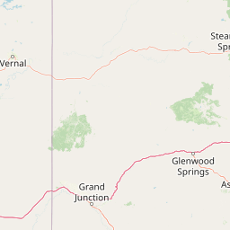
Mapped boundary outlines provide spatial context for the protected area and its surrounding geography. Recorded boundary measurements supply surface area data, coordinate limits, and geographic spans for spatial analysis.
- Boundary area
- 764.1 km²
- Boundary perimeter
- 437.8 km
- Northernmost point
- 41.4886° N
- Southernmost point
- 40.8404° N
- Easternmost point
- 109.2406° W
- Westernmost point
- 109.7414° W
- Geographic centre
- 41.0696° N, 109.5435° W
- North–south span
- 72 km
- East–west span
- 42 km
Terrain and natural features
Upland terrain classifications and recorded landscape features
Terrain and Named Natural Features in Flaming Gorge National Recreation Area
Upland terrain classifications define the regional landscape layout across Flaming Gorge National Recreation Area. Linked feature cards supply names, types, measurements, and spatial relationships for recorded natural entities.
Selected named natural features
Rapids
Dripping Springs Rapids
Viewpoints
Lookout Sheep Creek
1,914 m
Rapids
Bridge Rapids
Viewpoints
Bza
Viewpoints
Dowd Mountain Overlook
Environmental setting
Arid upland terrain, major water presence, and sparse forest cover across regional habitats
Flaming Gorge National Recreation Area Environmental Classifications and Physical Setting
Recorded landscape features, habitat types, and climatic zones organize the physical setting into interpretive categories. Connected classifications link directly to relevant atlas destinations for structured geographic browsing.
- Relief
- Upland
- Climate
- Arid
- Water
- Major water bodies
- Forest cover
- Sparse forest
- Seasonality
- Year-round
Landscape features
Cliffs · Lakes · Rivers
Habitat types
Riverine habitat · Lacustrine habitat · Shrubland
Park atlas
Compare regional geography, canyon terrain, and adjacent protected areas across the intermountain West.
Parks Near Flaming Gorge National Recreation Area and Surrounding Protected Landscapes
Browsing other parks near Flaming Gorge National Recreation Area reveals connected canyon country, high desert terrain, and regional watershed ecosystems. Comparing adjacent protected areas provides a broader geographical perspective on the intermountain West landscape.

Protected landscapeWyoming
117 km away#1 closest
North

Shoshone National Forest: A Comprehensive Map and Geography of America's Oldest National Forest
Rugged wilderness and glacial peaks in Wyoming
Discover the immense geographic scale of Shoshone National Forest, which protects a diverse landscape ranging from sagebrush valleys to 13,000-foot granite summits. This atlas overview details its role within the Greater Yellowstone Ecosystem and its expansive, federally designated wilderness areas, offering a clear perspective on its volcanic and glacial terrain.
- Area
- 9,992.69 km²
- Established
- 1891
- IUCN
- VI
- Visitors
- 500K annual
Protected areaWyoming
129 km away#2 closest
North
Popo Agie Wilderness: Protected Landscapes in the Wyoming Wind River Range
High-altitude alpine terrain and glacial basins
The Popo Agie Wilderness in Wyoming encompasses a dramatic vertical landscape, ranging from forested valleys to alpine summits above 13,000 feet. This protected area features the iconic Cirque of the Towers, dense hydrological networks of glacial tarns, and expansive granite formations that anchor its identity within the Greater Yellowstone Ecosystem.
- Area
- 412.3 km²
- Established
- 1984
- IUCN
- Ib
- Relief
- Mountain
Protected landscapeWyoming
165 km away#3 closest
North
Fitzpatrick Wilderness: Exploring the Rugged Protected Landscapes of Western Wyoming
A core alpine environment within the Wind River Range.
Fitzpatrick Wilderness represents one of the most uncompromisingly wild segments of the Wind River Range, featuring persistent glaciers, dramatic U-shaped valleys, and high granite spires. This protected landscape offers a deep look into the alpine geography of Wyoming, preserved under the Wilderness Act to maintain its rugged character, remote glacial cirques, and intricate mountain ecosystems.
- Area
- 803.4 km²
- Established
- 1976
- IUCN
- Ib
- Relief
- Mountain

Protected landscapeUtah
166 km away#4 closest
Southwest
Manti, La Sal National Forest: Geographic Overview of Utah's Mountain and Canyon Landscapes
Mapped protected forest boundaries across the Colorado Plateau
Spanning over one million acres, Manti, La Sal National Forest defines a critical segment of Utah geography. This protected landscape encompasses diverse terrain including subalpine mountains, aspen-rich uplands, and deep canyon networks. Use this atlas to examine the distinct environmental characteristics that separate the northern forested plateaus from the southern wilderness canyons.
- Area
- 5,143.09 km²
- Established
- 1950
- IUCN
- V
- Visitors
- 900K annual
Wildlife reserveUtah
168 km away#5 closest
West
Mount Timpanogos Wilderness: Mapping the Protected Alpine Landscape and High Wasatch Terrain
An iconic Utah protected area within the northern Wasatch Range.
Mount Timpanogos Wilderness preserves a dramatic segment of the Wasatch Range, centering on an iconic summit that rises above glacial basins and forested slopes. This protected area offers a distinct study of alpine geology, featuring high-altitude cirques, steep ridges, and the prominent presence of Emerald Lake. As a critical piece of Utah wilderness, it anchors the skyline above the urban corridor, providing a concentrated look at regional mountain ecosystems and rugged natural terrain.
- Area
- 42.56 km²
- Established
- 1984
- IUCN
- Ib
- Relief
- Mountain
Wildlife reserveUtah
168 km away#6 closest
West
Lone Peak Wilderness: Protected Alpine Geography and Wasatch Range Map Insights
Rugged glacial terrain and granite summits in Northern Utah
Lone Peak Wilderness represents a dramatic intersection of high-mountain wilderness and urban geography. Rising from the Salt Lake and Utah Valleys, its alpine terrain features jagged granite peaks, persistent snowfields, and steep glacial canyons. This protected landscape remains a critical reference for understanding the ecological and topographical character of the central Wasatch Range and Utah's wilderness preservation history.
- Area
- 121.76 km²
- Established
- 1978
- IUCN
- Ib
- Relief
- Mountain
Wildlife reserveUtah
173 km away#7 closest
Northwest
Mount Naomi Wilderness: Mapping High-Altitude Protected Landscapes in Northern Utah
Alpine summits, forested ridges, and subalpine lake basins
Situated in the Bear River Range of northern Utah, Mount Naomi Wilderness stands as a protected corridor of rugged mountain terrain. This wilderness area preserves a diverse high-elevation environment, spanning from the steep western canyons of the Logan River to the prominent summits of Naomi Peak. It serves as a vital point of geographic interest for understanding the subalpine ecosystems and wilderness boundaries within the Uinta-Wasatch-Cache National Forest.
- Area
- 180.18 km²
- Established
- 1984
- IUCN
- Ib
- Relief
- Mountain
Wildlife reserveUtah
About 174 km away#8 closest
West
Mount Olympus Wilderness: Geographic Overview of the Iconic Wasatch Range Protected Landscape
Steep granite massif and alpine terrain in northern Utah
Explore the distinct topography of Mount Olympus Wilderness, a protected sanctuary in Utah featuring soaring granite outcrops and deep drainage systems. The park is anchored by a recognizable twin-peak silhouette that rises abruptly from the Salt Lake Valley, encompassing high alpine ridges and one of the deepest known cave systems in the United States within its rugged forested boundaries.
- Access
- Easy access
MoriAtlas Explorer
Explore the Geographic Boundaries and Terrain of Flaming Gorge National Recreation Area
Trace the winding reservoir shoreline and canyon geology that define this major protected area. Through the MoriAtlas data, visualize the intersection of forested uplands and desert cliffs that make this region a landmark of western geography and water-based protected landscapes.
Browse next
Global natural geography
Explore related park routes
Explore MoriAtlas Global ParksBrowse All MoriAtlas ParksGlobal Park Map DiscoveryMoriAtlas: Browse All CountriesBrowse All MoriAtlas ContinentsNational Park Environment AtlasGrand Canyon National Park AtlasYellowstone National Park AtlasYosemite National Park Atlas and GeographySerengeti National Park AtlasGalápagos National Park Protected LandscapeBanff National Park Geography and AtlasKruger National Park Atlas EntryUluṟu-Kata Tjuṯa National Park AtlasExplore Uluru-Kata Tjuta National Park GeographyPlitvice Lakes National Park AtlasFiordland National Park Protected LandscapeGreat Smoky Mountains National Park AtlasAfghanistan National Parks and Protected AreasAlbania National Parks and Protected AreasAlgeria National Parks and Protected AreasAmerican Samoa National Parks and Protected AreasAndorra National Parks and Protected AreasAngola National Parks and Protected AreasAntarctica National Parks and Protected AreasAntigua and Barbuda Park List