
Mori Atlas logo
Park guides

Resource index for understanding volcanic terrain, forest ecology, and seasonal planning.

Garajonay National Park: Curated Collection of Geographic and Planning Guides

Access focused insights on the diverse environment of Garajonay National Park, ranging from the humid subtropical laurisilva forests to the dramatic volcanic formations of the Canary Islands. These guides provide structured information to assist in understanding the atmospheric conditions and seasonal variations of this unique protected highland landscape.

Related tags

Laurisilva ForestVolcanic LandscapesUNESCO World Heritage SiteIsland ConservationEndemic Species

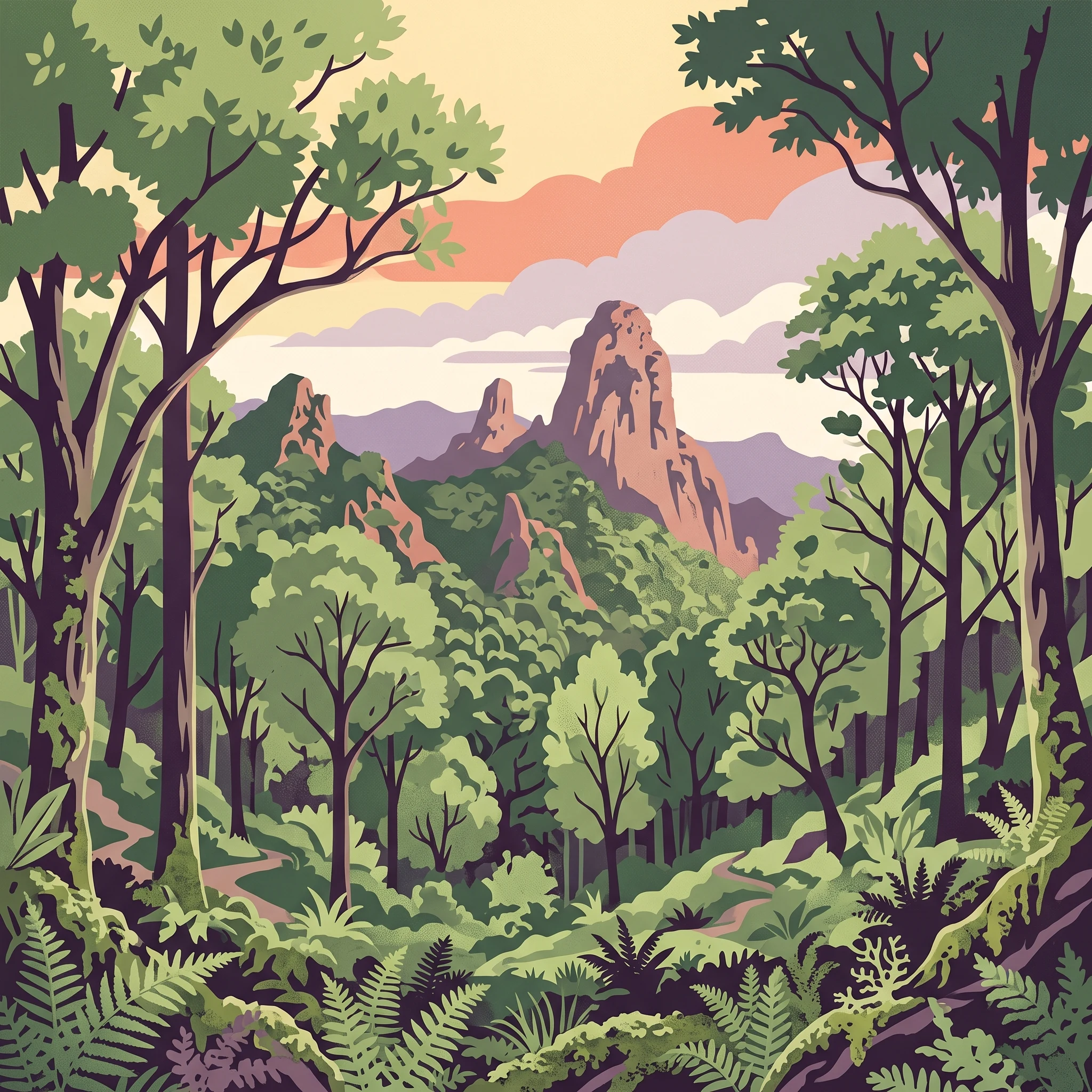
Ancient laurisilva forest on a volcanic Canary Island

Garajonay National Park

Garajonay National Park represents one of the Canary Islands' most significant natural treasures, protecting a mountain environment of extraordinary ecological importance on the island of La Gomera. The park occupies the island's central highlands and extends into each of its six municipalities, covering roughly ten percent of La Gomera's total surface area. Its landscape is fundamentally shaped by volcanic geology—basaltic materials from ancient lava flows and pyroclastic deposits form the foundation upon which the forest has developed. The most striking topographic features are the Roques, massive volcanic plugs and eroded remnants that rise dramatically from the forested slopes. Several of these formations held sacred significance for the Guanche inhabitants, the indigenous people of the Canary Islands, and served as refuges during periods of conflict. The park's name derives from both the highest peak and a romantic Guanche legend of the lovers Gara and Jonay, whose tragic story evokes themes of forbidden love across island boundaries. The national park was created in 1981 as the fourth and youngest of the Canary Islands' national parks, later gaining international recognition through its UNESCO World Heritage status and its inclusion in the island's biosphere reserve designation. The human relationship with this landscape extends back centuries, though no permanent settlements exist within the park boundaries today.

Location
Spain
Park type
National park
Established
1981
Area
40 km²
Highest point
1,487 m
Garajonay National Park Protected Landscape
MoriAtlas Explorer

Continue exploring the mapped geography of Garajonay National Park

Delve deeper into the unique atlas context of Garajonay National Park. Understand its distinct volcanic terrain, the formation of its protected boundaries, and its place within the broader Canary Islands geography. MoriAtlas provides the structured geographic details to enhance your discovery of this remarkable natural landscape.