
A detailed geographic index of the diverse limestone formations, coastal habitats, and woodlands.
Named Natural Features, Landscapes, and Geological Landmarks of Gargano National Park
This geographic collection documents the diverse array of named natural features distributed throughout Gargano National Park and its immediate surroundings. From the dense canopy of the Foresta Umbra to the rugged Adriatic sea cliffs and inland wetland complexes, these records provide a structured spatial overview. Explore the topographic diversity of the Gargano promontory through its hills, forests, and maritime landscapes.
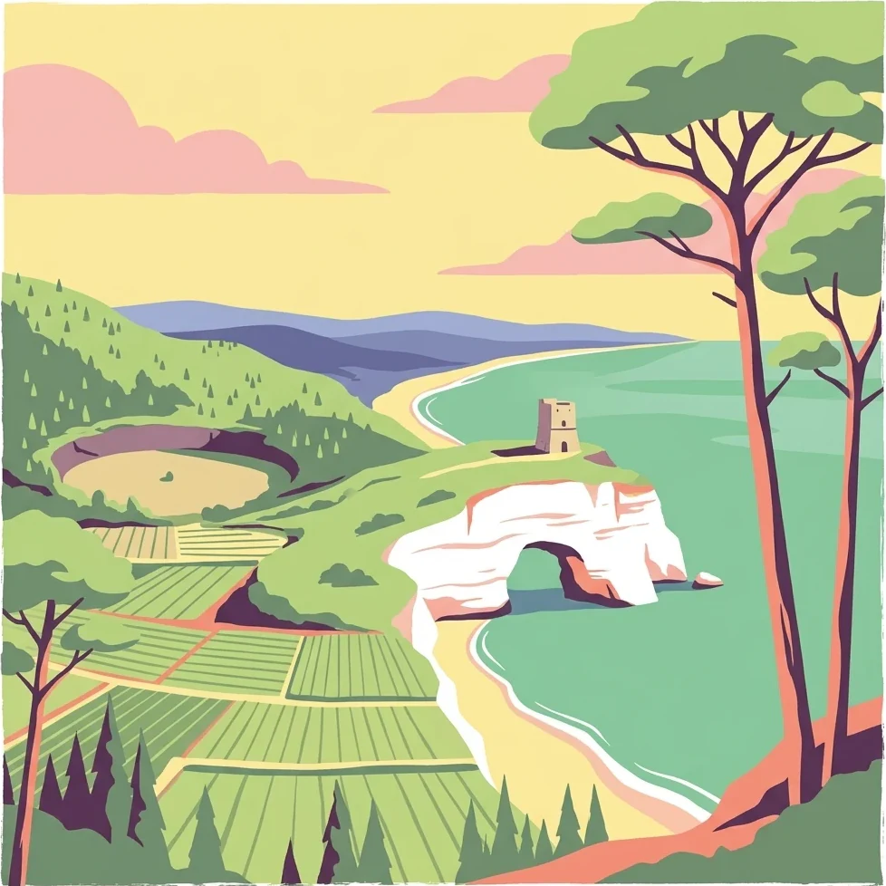
Tracing unique limestone peaks, coastal wetlands, and ancient woodlands of the Apulian promontory
Geographic Landmarks and Named Natural Features of Gargano National Park
Protected island features in the Adriatic Sea
Islands
Analyze the distribution of islands associated with Gargano National Park. This resource details the mapped geography of these landforms, offering a clear perspective on how these isolated terrestrial areas integrate with the broader protected coastal ecosystem of the Italian Adriatic coastline.
Regional summit geography and mountain topography
Peaks
Analyze the distribution of named peaks located within the borders of Gargano National Park. This resource organizes high-point data to assist in understanding the mountainous character of the Apulian promontory and the spatial arrangement of its most prominent limestone ridges and elevated terrain.
Structured collection of Adriatic coastal spurs
Peninsulas
Investigate the unique land-water configuration of the Gargano peninsula within the protected landscape of Gargano National Park. This resource organizes mapped projections to provide a clear view of how these limestone spurs interact with the surrounding Adriatic waters, supporting analysis of coastal morphology and regional landform distribution.
Mapped watercourses within the protected Gargano landscape.
Rivers
Focusing on the rivers and associated natural watercourses of Gargano National Park, this collection provides structural data on the drainage and flow patterns defining the region. These mapped features highlight the interconnected nature of the coastal and upland habitats found throughout this Mediterranean protected territory.
Coastal geography and protected land features
Bays
Examine the bay features distributed across the Gargano National Park shoreline. This data-driven look at the Apulian coast highlights the physical connection between limestone cliffs and the Adriatic Sea, offering a grounded view of the park's coastal geography and natural landscape structure.
Mapping physical shore zones and sediment profiles
Beaches
Examine the varied shoreline geography of Gargano National Park through a focused analysis of its beach formations. This collection highlights the structural diversity of coastal zones shaped by Adriatic currents, wind, and sediment accumulation against the backdrop of the park’s limestone terrain.
Detailed geographic analysis of vertical rock formations.
Cliffs
Access a structured inventory of identified cliffs across Gargano National Park. This geographic resource focuses on the spatial arrangement and physical characteristics of these steep rock faces, offering insight into the geological diversity of the Adriatic promontory and surrounding island environments.
Mapping water-influenced landscapes in Apulia
Wetlands
This geographic collection highlights the specific wetland entities associated with Gargano National Park. Each entry provides context on the physical setting and hydrologic status of these marshes and flood-prone areas, offering a clearer view of the protected landscape's diverse natural features.
Continue your exploration of Gargano National Park's protected landscape and Apulia geography
Deepen your understanding of Gargano National Park by examining its mapped terrain and protected landscape features. This detailed view of Apulia's geography provides essential context for appreciating the park's unique place within the Italian atlas. Continue your structured discovery journey into this significant protected area and its surrounding natural context.