
Explore the diverse catalog of cliffs, river valleys, and forest landscapes mapped within this protected area.
Named Natural Features and Geological Landmarks of Gauja National Park in Latvia
Discover the geographic catalog of named natural features associated with Gauja National Park, a protected region defined by the ancient Gauja River valley. This collection documents the variety of terrain including Devonian sandstone formations, limestone outcrops, springs, and lake basins that shape the local geography. Users can browse categorized landforms and water bodies to understand the spatial distribution of significant landscape elements across this expansive Latvian national park.
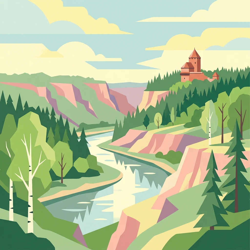
Tracing the river valleys, sandstone cliffs, and distinctive rock formations of the Vidzeme region
Geographic Features and Natural Landmarks of Gauja National Park
Geography and mapped watercourse distribution
Rivers
Browse the mapped rivers and hydrological corridors associated with Gauja National Park. These records highlight the physical role of water in carving the park's sandstone formations, deep valleys, and diverse riparian terrains across the Vidzeme region of Latvia.
Surface openings in Baltic sandstone terrain
Cave entrances
Access a structured collection of cave entrance locations distributed throughout the Gauja National Park boundary. This dataset focuses on the spatial representation of surface openings found within the park's iconic sandstone cliffs, highlighting the geological connection between the exterior environment and local karst systems.
Geographic atlas of protected rock exposures and cliff faces.
Cliffs
Navigate the sandstone cliff collection found within the Gauja River valley. This resource outlines the vertical rock features and exposed terrain that distinguish the park's topography, offering a clear perspective on the geological composition of the region.
Mapping regional drainage patterns and natural water flow.
Streams
Gauja National Park features an intricate network of streams that cut through the ancient Devonian sandstone formations. This collection provides a focused look at named watercourse features, highlighting their role in the broader hydrological system of the Vidzeme region and their contribution to the park diverse topography.
Continue exploring the geography and protected landscape of Gauja National Park
Delve deeper into the mapped geography and unique protected landscape of Gauja National Park. Understanding its sandstone cliffs, river valley ecosystems, and regional placement within Latvia provides valuable context for broader atlas exploration. This park represents a significant natural and cultural territory, offering insights into the structured discovery of protected areas and their place in the Baltic landscape.