Mori Atlas logo
National parkGauja National Park

Discover the mapped boundaries, diverse terrain, and natural heritage of Latvia's premier national park.

Gauja National Park: A Protected Landscape of Sandstone Cliffs and River Valleys in Latvia

Gauja National Park, established in 1973, represents Latvia's largest and oldest protected national park, safeguarding the picturesque Gauja River valley and its surroundings. Situated in the Vidzeme region, this expansive park is characterized by its dramatic Devonian sandstone formations, creating striking cliffs and geological features along the meandering river. It serves as a vital ecological corridor and a focal point for understanding the interplay between natural landscapes, protected area designations, and historical cultural sites within the Baltic region's geography.

national parkriver valleysandstone cliffsancient forestsmedieval castlesNatura 2000
Illustration of a river winding through a valley with sandstone cliffs, dense forests, and a castle on a hill under a partly cloudy sky

Gauja National Park

National park

Park overview

Structured park overview, official facts, and landscape profile for Gauja National Park

Gauja National Park park facts, protected area profile, and essential visitor context
Review the core facts for Gauja National Park, including designation, size, terrain, visitor scale, habitats, and operating context in one park-focused overview.

About Gauja National Park

Gauja National Park represents the pinnacle of Latvia's protected area system, established in 1973 as the country's first national park and remaining its largest. The park occupies a strategic position in the Vidzeme uplands, where the Gauja River has carved a deep and winding valley through Devonian sandstone bedrock over millions of years. This geological history has produced a landscape of exceptional variety—steep cliff faces, hidden caves, forested slopes, spring-fed wetlands, and the broad floodplain that follows the river's course.

The park is organized into five functional zones, with nature reserves comprising a small portion where visitor access is restricted to protect sensitive ecosystems. Throughout the remainder of the park, economic activities are permitted only when they leave the landscape essentially intact. This zoning approach balances conservation objectives with the park's role as a major tourism destination and living landscape for local communities. The park includes the towns of Sigulda, Cēsis, Valmiera, and Līgatne within or adjacent to its boundaries.

The combination of natural landscapes and cultural monuments makes Gauja National Park unique among Baltic protected areas. The Gauja River valley has been inhabited for millennia, and the landscape bears witness to this long human presence through ancient hill forts, medieval castles, historic churches, and traditional farmsteads. These cultural elements are woven into the natural landscape, often appearing at precisely the most scenic locations—on cliff tops, at river bends, and within the forest. This integration of nature and culture creates an experience that distinguishes Gauja from more purely natural parks.

Quick facts and research context for Gauja National Park

Gauja National Park covers 917.87 km² in the Vidzeme region of Latvia, making it the largest national park in the country. The park centers on the Gauja River valley, which features the largest Devonian sandstone outcrops in Latvia—including dramatic cliffs, rock formations, and caves. Forests occupy approximately 47% of the park's territory. The park is part of the Natura 2000 network and contains nearly 900 plant species, 149 bird species, and 48 mammal species. The park administration is based in Sigulda.

Park context

Deeper park guide and search-rich context for Gauja National Park

Gauja National Park history, landscape, wildlife, and travel context
Explore Gauja National Park through its history, landscape character, ecosystems, wildlife, conservation priorities, cultural context, and seasonal travel timing in a structured park guide built for atlas discovery and search intent.

Why Gauja National Park stands out

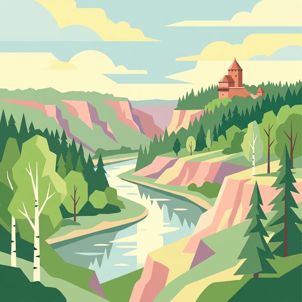
Gauja National Park is best known for its dramatic Devonian sandstone cliff formations that line the Gauja River valley, particularly the Eagles' Cliffs (Ērgļu klintis) and other sandstone precipices near Cēsis. The park protects the largest and most impressive sandstone outcrops in Latvia, with rocky cliffs, caves, and interesting geological formations scattered throughout the valley. Combined with the scenic meandering river, dense forests, and cultural monuments including Turaida Castle and Cēsis Castle ruins, these geological features create the distinctive identity that makes Gauja Latvia's most-visited protected area outside of Riga.

Blue kingfisher bird perched on a branch above calm river with reflection, surrounded by moss-covered trees
Kingfisher perched on a branch above a reflective river in Gauja National Park

Gauja National Park history and protected-area timeline

Gauja National Park was established on September 14, 1973, making it the oldest national park in Latvia. The creation of the park reflected a growing recognition in Soviet-era Latvia of the need to protect the country's most significant natural areas while also providing opportunities for controlled tourism and recreation. The park was specifically designated to protect the slightly disturbed natural areas along the Gauja River valley, preserve the Devonian sandstone formations, and safeguard the rich cultural heritage monuments scattered throughout the region.

The park's establishment came at a time when nature tourism was beginning to develop in Latvia, and Gauja quickly became the premier destination for outdoor recreation outside of Riga. The tradition of hiking in the Sigulda area with walking sticks dates back to the 19th century, long before formal protection was granted, demonstrating the long-standing attraction of this landscape. Following Latvia's independence, the park's management continued to evolve, with the establishment of the Natura 2000 network designation in 2004 adding international recognition to its conservation status.

In recent years, the park has been the focus of tourism development initiatives, including the Entergauja cluster established in 2012 involving tourism enterprises, municipalities, the Nature Protection Administration, and Vidzeme University of Applied Sciences. This collaborative effort has worked to strengthen sustainable tourism infrastructure and promotion while maintaining the park's natural and cultural values.

Gauja National Park landscape and geographic character

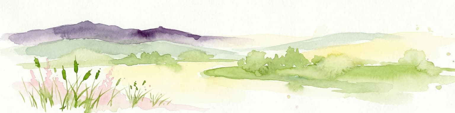
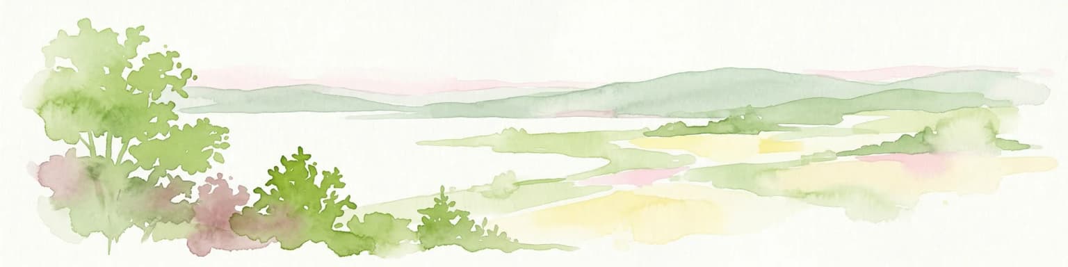
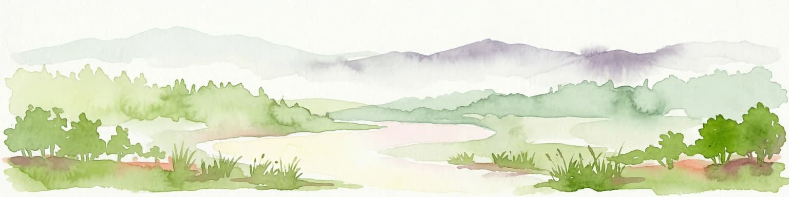
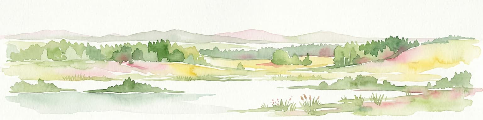
The landscape of Gauja National Park is dominated by the ancient valley of the Gauja River, one of the most scenic river valleys in the Baltic region. The river follows a meandering course, cutting deeply into the Devonian sandstone and limestone bedrock to create steep cliffs, rocky outcrops, and isolated rock pillars that rise dramatically from the valley floor. These sandstone formations represent the largest and most spectacular Devonian outcrops in Latvia, with cliff faces reaching heights of over 30 meters in places.

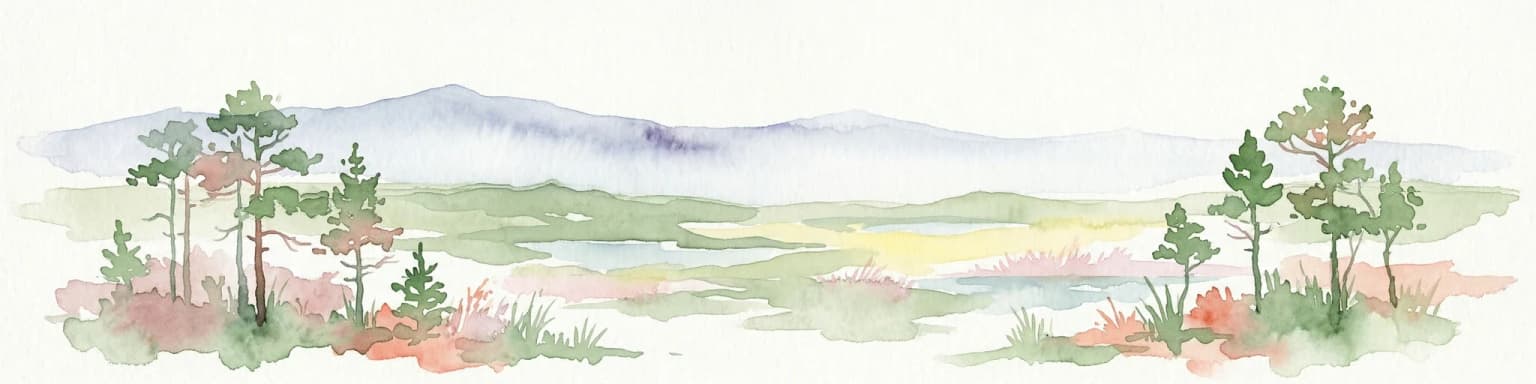
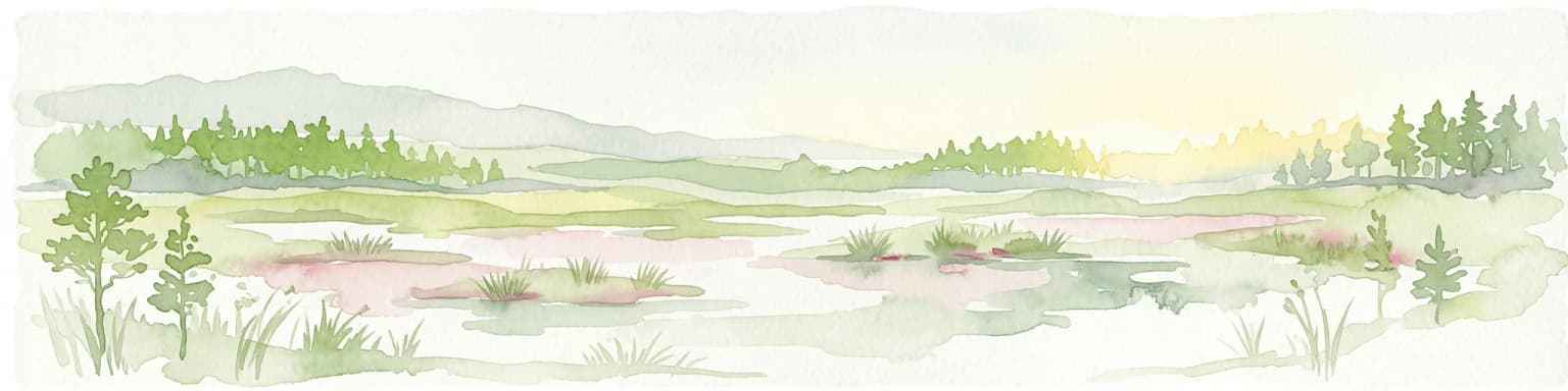
The terrain within the park is remarkably varied, ranging from the broad floodplain of the Gauja to rolling uplands covered in mixed forest. Springs and small streams emerge from the valley sides, feeding wet meadows and creating distinctive microhabitats. The park contains several notable lakes, including Ungura ezers, Vaidavas ezers, and Raiskuma ezers, which add to the diversity of landscapes within the protected area. The combination of flowing water, vertical cliffs, forested slopes, and open wetlands creates a landscape of strong visual character that has inspired artists, writers, and visitors for generations.

Aerial view of a river flowing through dense forests with hills in the background
River Gauja winding through forested valley near Turaida

Gauja National Park ecosystems, habitats, and plant life

The natural environment of Gauja National Park is characterized by remarkable biodiversity within a relatively compact area. Forests cover approximately 47% of the park's territory, with the most common forest types being oak forests (damaksnis), spruce forests (vēris), grasslands (mētrājs), and mixed forests (gārša). This variety of forest types supports a correspondingly diverse community of plant and animal species—nearly 900 plant species, 149 bird species, and 48 mammal species have been recorded within the park.

Since 2004, Gauja National Park has been part of the Natura 2000 network, the European Union's coordinated system of protected areas designed to conserve biodiversity across member states. This designation recognizes the park's importance for conservation of both species and habitat types of European significance. The combination of the river corridor, sandstone cliffs, forests, and wetlands creates a mosaic of habitats that supports species adapted to each of these environments, as well as species that move between them throughout the year.

River flowing alongside tall sandstone cliffs with dense forest on the cliff tops
Devonian sandstone cliffs along the Gauja River in Gauja National Park

Gauja National Park wildlife and species highlights

The wildlife of Gauja National Park reflects the diversity of habitats found within its boundaries. The Gauja River and its tributaries support populations of fish including grayling, trout, and chub, while kingfishers and otters hunt along the water's edge. The river corridor serves as an important migration route and provides feeding grounds for waterfowl throughout the year. The sandstone cliffs provide nesting habitat for birds including the common raven and peregrine falcon, while the caves and rocky crevices shelter bats and other specialized species.

In the forested portions of the park, populations of large mammals including roe deer, red deer, and wild boar are maintained through carefully managed hunting. The mixed forests provide excellent habitat for species such as the black stork, capercaillie, and various species of woodpecker. The network of springs, wetlands, and small lakes scattered throughout the park adds to the overall diversity, supporting amphibians, dragonflies, and a rich invertebrate fauna.

Calm river reflecting sandstone cliffs and forested shoreline
Sandstone cliffs reflecting in the Gauja River at Gauja National Park

Gauja National Park conservation status and protection priorities

Gauja National Park holds special significance within Latvia's conservation framework as the country's first and largest national park. Its designation as a Natura 2000 site since 2004 connects it to the broader European conservation network, ensuring that the park's biodiversity values are recognized and protected at an international level. The park protects habitat types of European importance, including the natural forests, river ecosystems, and cliff formations that define its character.

The conservation approach within the park balances protection with sustainable use. The five functional zones include strict nature reserves where human impact is minimized, while the majority of the park allows for activities that maintain the landscape character without causing lasting damage. This zoning system enables the park to serve both as a biodiversity refuge and as a sustainable tourism destination—a dual role that has proven successful in maintaining the park's natural values while supporting the local economy through nature-based tourism.

Gauja National Park cultural meaning and human context

The landscape of Gauja National Park has been shaped by centuries of human presence, and the cultural heritage embedded in the territory is inseparable from its natural character. The Gauja River valley has been an important settlement area since prehistoric times, with numerous hill forts marking ancient defensive positions on the bluffs above the river. Later, during the medieval period, the strategic importance of the valley led to the construction of stone castles, including the ruins of Cēsis Castle and Turaida Castle, whose red roofs remain visible above the treeline.

The traditional rural landscape is represented by historic churches, manor houses, and farmsteads that dot the valley, many of which now serve as cultural attractions or tourism facilities. The town of Līgatne within the park contains the Līgatne nature trails and a historic paper mill, demonstrating the long tradition of crafts and industry in the region. This cultural layer adds depth to the visitor experience, making Gauja National Park not merely a natural area but a living cultural landscape where natural and historical heritage interweave.

Top sights and standout views in Gauja National Park

Gauja National Park combines the largest natural sandstone cliffs in Latvia with a rich cultural heritage spanning millennia. The Eagles' Cliffs and other Devonian sandstone formations create a dramatic backdrop for hiking and exploration, while the meandering Gauja River provides opportunities for canoeing and wildlife observation. The park contains over 500 cultural monuments, including medieval castles, historic churches, and ancient hill forts. With over one million annual visitors, Gauja is Latvia's most popular protected area outside Riga, offering well-developed tourism infrastructure while maintaining its natural and cultural values. The integration of significant geological, ecological, and cultural elements within a single protected area makes Gauja the definitive destination for understanding Latvia's natural and historical heritage.

Best time to visit Gauja National Park

Gauja National Park can be enjoyed throughout the year, with each season offering a different perspective on the landscape. The summer months of June through August bring warm weather ideal for hiking, canoeing, and exploring the sandstone caves, with long daylight hours providing ample time for outdoor activities. Autumn transforms the forests with vivid colors and brings mushroom season, while the clear air of fall offers excellent conditions for photography and sightseeing. Winter draws visitors to the snow-covered landscape, particularly for cross-country skiing in the Sigulda area, while spring awakens the valley with blooming flowers and active wildlife along the river.

Park location guide

Geography guide, regional context, and park location map for Gauja National Park

Gauja National Park park geography, regions, and map view in Latvia
Understand where Gauja National Park sits in Latvia through a broader geographic reading of the surrounding landscape, nearby location context, and its mapped position within the national park landscape.

How Gauja National Park fits into Latvia

Latvia is a unitary parliamentary republic and one of the three Baltic states in northern Europe. It declared independence from Russia on 18 November 1918, experienced Soviet occupation from 1940 to 1991, and restored full independence in 1991. The country joined the European Union in 2004. Latvians, who comprise 65.5% of the population, are the titular ethnic group and speak the Latvian language.

Wider geography shaping Gauja National Park in Latvia

Latvia is located in the Baltic region of northern Europe along the eastern shore of the Baltic Sea. It borders Estonia to the north, Lithuania to the south, Russia to the east, and Belarus to the southeast. The country shares a maritime border with Sweden to the west. The terrain is largely flat with lowland plains and hills, characterized by extensive forests, lakes, and rivers.

Map view of Gauja National Park

Use this park location map to pinpoint Gauja National Park in Latvia, understand its exact geographic position, and read its mapped placement within the surrounding landscape more clearly.

Pigeon | © OpenStreetMap contributors

Location context for Gauja National Park

Vidzeme

Explore the Distinctive River Valley Terrain, Sandstone Cliffs, and Forest Habitats of Gauja through Immersive Imagery

Gauja National Park Photos, Scenery, and Landscapes: Visual Guide to Latvia's Oldest Protected Area
Visually explore the diverse landscapes of Gauja National Park, featuring its dramatic Devonian sandstone cliffs, the meandering Gauja River valley, and varied forest ecosystems. Reviewing park imagery offers critical insight into the protected area's unique geological formations, distinct habitats, and overall scenic character, aiding in comprehensive geographic discovery.

Blue kingfisher bird perched on a branch above calm river with reflection, surrounded by moss-covered trees

Red-brick castle with a tower situated on a hill amidst autumn foliage and a forested landscape

Aerial view of a river flowing through dense forests with hills in the background

River flowing alongside tall sandstone cliffs with dense forest on the cliff tops

Calm river reflecting sandstone cliffs and forested shoreline

Park atlas

Discover more protected landscapes, river valleys, and historical sites within the Baltic region, comparing diverse geographic features.

Explore Other National Parks and Protected Areas Near Gauja National Park in Latvia
Continue your atlas exploration from Gauja National Park by browsing other national parks and protected areas across Latvia and the broader Baltic region. Compare distinctive river valleys, ancient sandstone cliffs, forested uplands, and cultural heritage sites to deepen your geographic understanding of European conservation landscapes.
Watercolor illustration showing rolling hills, meadows, wildflowers, and distant mountains
National park

Karula National Park: Detailed Map and Protected Landscape Context in Southern Estonia

Explore Karula Uplands' rolling terrain, lakes, and forests.

Karula National Park, Estonia's smallest national park, presents a densely clustered landscape of rolling hills, over 40 lakes, and extensive forest cover across the Karula Uplands. This protected area is a vital component of southern Estonia's natural geography, offering a rich mosaic of habitats. MoriAtlas facilitates a structured exploration of its mapped boundaries and the diverse ecosystems that define this distinctive natural landscape.

Area
123.64 km²
Established
1979
Relief
Upland
Climate
Temperate
Watercolor painting showing a wetland landscape with scattered trees, marshy areas, and distant mountains under a muted sky
National parkViljandi County

Soomaa National Park: Estonia's Wilderness Wetland Landscape Atlas

Explore mapped protected peat bogs and dynamic floodplains in Viljandi County.

Soomaa National Park is a protected wilderness area in Estonia renowned for its extensive peat bog systems and unique floodplains. This national park, located primarily in Viljandi County, showcases some of Europe's largest intact wetland landscapes, characterized by seasonal floods that transform the terrain into vast aquatic environments. MoriAtlas provides detailed geographic context for Soomaa, allowing for exploration of its protected boundaries and landscape features within the broader atlas of European natural areas.

Area
359 km²
Established
1993
Relief
Lowland
Climate
Boreal
National park

Ķemeri National Park: Discover Latvia's Iconic Protected Bog and Wetland Geography

Explore a unique protected landscape with mapped bog ecosystems and regional natural terrain.

Ķemeri National Park in Latvia is a remarkable protected area, celebrated for its expansive and ecologically significant raised bog systems, particularly the Great Ķemeri Bog. This national park showcases a unique geographical character, featuring natural sulfur springs, therapeutic muds, and a series of ancient lagoon lakes that support rich birdlife. Its diverse wetland habitats and distinct peatland landscapes offer a compelling focus for atlas-based discovery and understanding the regional geography of the Latvian coast.

Area
381.65 km²
Established
1997
IUCN
II
Relief
Lowland
Watercolor illustration showing a lake, trees, and distant hills
National parkLatgale

Rāzna National Park: Protected Landscape and Regional Geography in Latgale

Explore the mapped terrain of Latvia's largest lake region.

Rāzna National Park, situated in the Latgale region, provides an essential focal point for understanding eastern Latvia's protected landscapes. This national park, recognized for its extensive glacial terrain and the significant Lake Rāzna, offers a distinct geographic profile. Users can explore its mapped boundaries, discover its role as a vital protected area, and understand its landscape context within the broader atlas of Latvia's natural heritage.

Area
596.14 km²
Established
2007
IUCN
II
Relief
Highland
Watercolor illustration showing a wetland landscape with grassy fields, a river, and trees in the background
National parkLääne County

Matsalu National Park: Explore Estonia's Premier Wetland National Park Geography and Protected Area

Discover mapped landscapes and bird migration routes in Lääne County.

Matsalu National Park, located in Lääne County, Estonia, is a prime example of a protected wetland ecosystem of international significance. This page delves into the park's unique geographic features, including the shallow brackish Matsalu Bay, the expansive Kasari River delta, and the numerous islands that form its coastal mosaic. Users can explore the park's protected boundaries and understand its critical function as a major staging area for migratory birds, offering a detailed atlas-level view of this important natural landscape.

Area
486.1 km²
Established
1957
Relief
Lowland
Climate
Temperate
Watercolor illustration of a river flowing through a forested landscape with mountains in the background
National park

Slītere National Park: Latvia's Protected Coastal Landscape with Blue Hills and Bird Flyways

Explore the unique terrain and protected geography of this Baltic national park.

Slītere National Park represents a distinctive protected landscape on Latvia's Courland Peninsula, celebrated for its ancient geological formations like the Blue Hills (Zilie Kalni) and its role as a crucial bird migration corridor. The park's geography encompasses varied dune systems, wetland habitats, and rich broadleaf forests, offering a unique mapped environment. Discover the park's protected area boundaries and its significance within the regional Baltic geography, highlighting its unique ecosystem features and landscape context.

Area
164.14 km²
Established
2000
IUCN
II
Relief
Mixed relief
Watercolor illustration of a lake, forests, and hills
National park

Alutaguse National Park: Eastern Estonia's Vast Peat Bog and Forest Protected Landscape

Mapping Protected Wetlands and Boreal Ecosystems in Estonia

Alutaguse National Park, a newly established national park in eastern Estonia, offers a unique atlas perspective on extensive peat bog ecosystems and boreal forests. Covering over 443 square kilometers, it represents some of the most intact wetland landscapes in the country. The park's creation unified eleven protected areas, safeguarding a critical habitat for rare species and showcasing the distinctive geography of the Alutaguse Lowland.

Area
443.31 km²
Established
2018
Relief
Lowland
Climate
Temperate
National park

Braslaw Lakes National Park: Protected Glacial Lake Landscape Atlas

Mapped boundaries and terrain of a key Belarusian protected area.

Braslaw Lakes National Park presents a fascinating protected landscape defined by its extensive glacial lake chain, lush forests, and vital wetland ecosystems. As a significant natural region in northern Belarus, it offers valuable insights into lacustrine environments and glacially formed terrain. This park serves as a prime example of protected land within the Vitebsk Region, ideal for exploring its mapped geography, understanding its ecological importance, and appreciating the unique character of Eastern Europe's lake districts through a structured atlas lens.

Common questions about visiting, size, designation, and location context for Gauja National Park

Gauja National Park FAQs for park facts, access, geography, and protected area context
Find quick answers about Gauja National Park, including protected-area facts, park geography, trail and visitor context, and how the park fits into its surrounding country and regional landscape.
MoriAtlas Explorer

Continue Your Protected Areas Search Across the Global Atlas

Deepen your exploration by continuing the structured search for national parks and protected areas worldwide. Utilize the comprehensive filtering capabilities to compare different conservation landscapes and refine your understanding of global park geography. Discover more about the distribution and characteristics of protected natural areas.

Global natural geography