Mori Atlas logo
National parkAlutaguse National Park

Mapping Estonia's Newest National Park and Its Extensive Wetland Ecosystems

Alutaguse National Park: Protected Bog and Forest Landscapes of Eastern Estonia

(Alutaguse rahvuspark)

Alutaguse National Park, established in 2018, stands as Estonia's most recent addition to its protected area network. Spanning over 443 square kilometers in the Alutaguse Lowland of eastern Estonia, this national park meticulously safeguards expansive peat bog systems and boreal forests. Its creation consolidated eleven distinct protected areas, unifying the conservation efforts across this sparsely settled region and establishing a crucial territory for wetland biodiversity and landscape preservation.

National ParkPeat BogsBoreal ForestEastern EstoniaWetland ConservationIda-Viru County

Alutaguse National Park

National park

Park overview

Structured park overview, official facts, and landscape profile for Alutaguse National Park

Alutaguse National Park park facts, protected area profile, and essential visitor context
Review the core facts for Alutaguse National Park, including designation, size, terrain, visitor scale, habitats, and operating context in one park-focused overview.

About Alutaguse National Park

Alutaguse National Park was established in November 2018, representing the culmination of decades of conservation advocacy in Estonia. The creation of the park was first proposed by botanist and conservationist Gustav Vilbaste in the 1920s, highlighting the long-standing recognition of this region's ecological significance. The national park was formed by merging several existing protected areas, including Puhatu, Agusalu, Muraka, and Selisoo nature reserves, along with landscape protection areas such as Kurtna, Smolnitsa, Struuga, and Mäetaguse.

The park protects a representative cross-section of eastern Estonian natural landscapes, with particular emphasis on the extensive bog systems that define the Alutaguse Lowland. These peatlands have developed over thousands of years under the cool, humid climate of northeastern Europe, accumulating organic material to create deep peat layers that store significant amounts of carbon. The forests within the park include both coniferous stands of pine and spruce as well as mixed deciduous forests, providing diverse habitat structures for woodland species.

The establishment of Alutaguse National Park reflects Estonia's commitment to expanding its protected area network and consolidating conservation management across larger landscapes. By bringing together multiple former protected areas under unified management, the park enables more coherent ecological planning and resource allocation. The park's territory is administered by the Estonian Environmental Agency, which oversees conservation activities, visitor management, and habitat restoration efforts within the protected area.

Quick facts and research context for Alutaguse National Park

Alutaguse National Park is located in Ida-Viru County in northeastern Estonia, established in 2018 through the consolidation of eleven former protected areas. The park covers 443.31 square kilometers, making it one of Estonia's larger national parks. Approximately 54% of the territory consists of peat bogs, with forests covering about 42%. The park lies within the Alutaguse Lowland, a region of low population density and extensive natural habitats. It is managed by the Estonian Environmental Agency (Keskkonnaamet).

Park context

Deeper park guide and search-rich context for Alutaguse National Park

Alutaguse National Park history, landscape, wildlife, and travel context
Explore Alutaguse National Park through its history, landscape character, ecosystems, wildlife, conservation priorities, cultural context, and seasonal travel timing in a structured park guide built for atlas discovery and search intent.

Why Alutaguse National Park stands out

Alutaguse National Park is best known for its extensive peat bog ecosystems, which represent some of the most intact wetland landscapes in Estonia. The park protects the largest continuous bog areas in the country, creating a distinctive terrain of Raised bogs, transitional mires, and bog forests that define the character of the Alutaguse Lowland. These vast wetland complexes provide critical habitat for species adapted to bog environments and play an important role in carbon storage and hydrological regulation. The park is also notable for being Estonia's newest national park, established after decades of advocacy by conservationists who recognized the need to protect this eastern Estonian wilderness.

Overview image of Alutaguse National Park showing what the park is best known for
Visual overview of what makes Alutaguse National Park a notable national park destination.

Alutaguse National Park history and protected-area timeline

The establishment of Alutaguse National Park represents the realization of a long-held conservation vision for eastern Estonia. The earliest proposal to protect this area came from Gustav Vilbaste, a prominent Estonian botanist and conservationist, who advocated for the creation of a national park in the Alutaguse region during the 1920s. His recognition of the area's ecological significance reflected an early understanding of the value of Estonia's bog and forest landscapes.

The modern protected area network that would eventually become Alutaguse National Park developed gradually through the designation of individual nature reserves and landscape protection areas during the Soviet and post-Soviet periods. Eleven separate protected areas were combined to form the national park in November 2018, creating a cohesive conservation unit spanning 443.31 square kilometers. These predecessor reserves included the Puhatu, Agusalu, Muraka, and Selisoo nature reserves, along with landscape protection areas such as Kurtna, Smolnitsa, Struuga, and Mäetaguse.

In 2024, a significant expansion of the park was initiated, with plans to increase the protected area to approximately 70,000 hectares. This expansion reflects growing recognition of the importance of large, connected wilderness areas for biodiversity conservation and ecosystem services. The existing protection regulations from the former reserves remained in effect until the new national park management plan took effect on January 1, 2021.

Alutaguse National Park landscape and geographic character

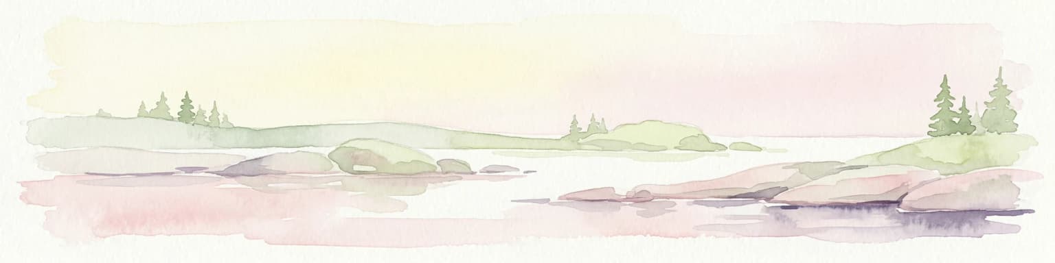
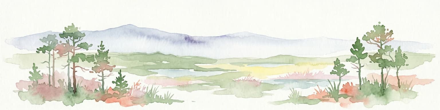
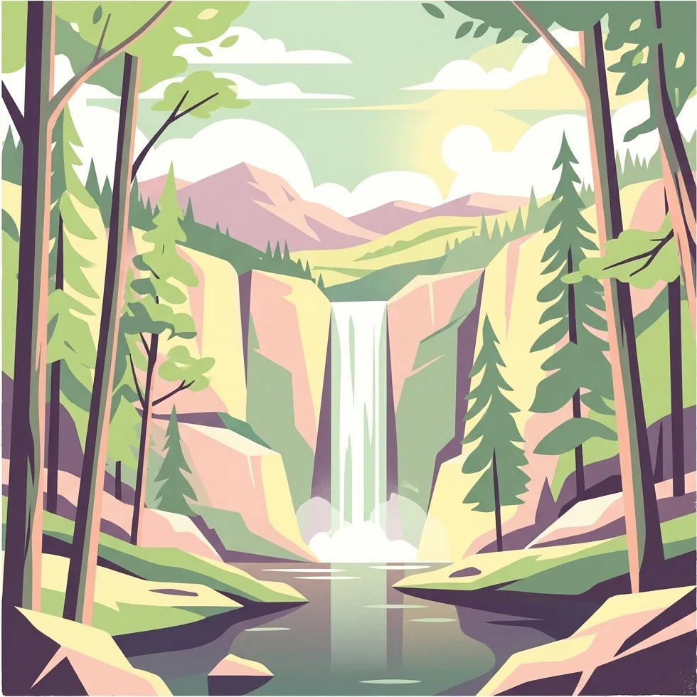
The landscape of Alutaguse National Park is characterized by the vast peat bog systems that dominate the Alutaguse Lowland. These bogs represent some of the most extensive and well-preserved wetland areas in Estonia, with raised bogs forming domed peat mounds covered by characteristic vegetation of sphagnum mosses, heathers, and cottongrass. The bog surfaces are punctuated by pools, lagg (transitional zones at the bog margin), and bog streams that add visual and ecological diversity to the wetland matrix.

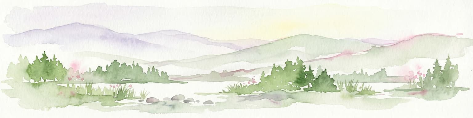
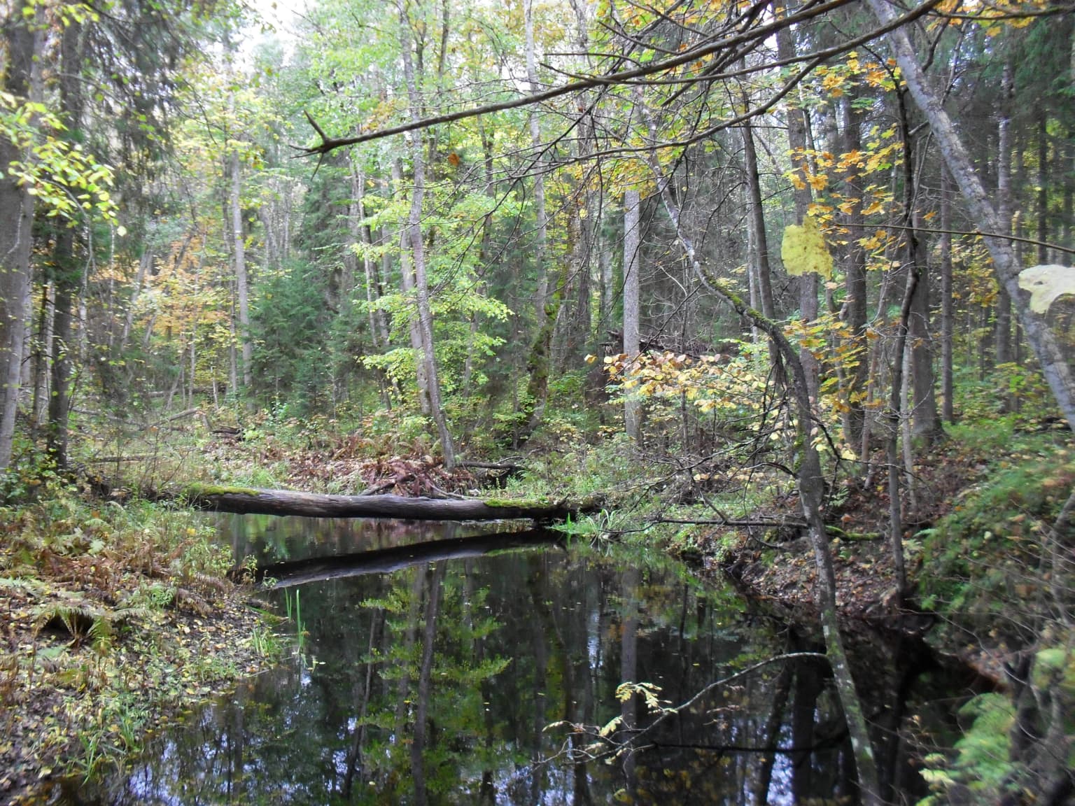
Forests occupy substantial portions of the park, ranging from dry pine forests on sandy soils to moist spruce-dominated stands and deciduous woodlands in valley bottoms. The forest composition reflects the region's continental climate and nutrient-poor soils, with species such as Scots pine, Norway spruce, birch, and aspen forming the primary woodland communities. Many forest areas retain old-growth characteristics, with standing dead trees and fallen logs providing habitat for specialized species.

The terrain is generally flat to gently undulating, typical of glacial landscapes formed during the last Ice Age. The low-lying topography promotes wet conditions and the accumulation of peat, creating the extensive mire systems that define the region's character. Small lakes and ponds occur within the bog complexes, adding further habitat diversity to the landscape.

Alutaguse National Park ecosystems, habitats, and plant life

Alutaguse National Park protects a complex of interconnected ecosystems that represent the natural character of eastern Estonia. The peat bog systems constitute the dominant habitat type, encompassing raised bogs, transitional mires, and bog forests in various stages of development. These wetlands have formed over many millennia under the region's humid climate, creating peat deposits that in places reach several meters in depth. The bog vegetation is adapted to acidic, nutrient-poor conditions and includes specialized species of mosses, sedges, and dwarf shrubs.

The forest ecosystems within the park range from dry pine heaths on well-drained sites to wet spruce forests in depressions and along watercourses. The variety of forest types supports diverse communities of plants and invertebrates, with old-growth stands providing critical habitat for species dependent on dead wood and mature tree structures. The transitional zones between bog and forest create ecologically important edges and mosaics that support species requiring multiple habitat types.

The park's biodiversity reflects its position within the boreal forest zone, with characteristic species of northern Europe represented throughout the protected area. The combination of extensive wetlands and forests creates conditions suitable for species that require large, relatively undisturbed habitats, contributing to the park's significance for conservation of boreal biodiversity.

Alutaguse National Park wildlife and species highlights

Alutaguse National Park provides habitat for several rare and protected species that characterize the boreal and wetland communities of northeastern Estonia. The Siberian flying squirrel, a nocturnal rodent that inhabits old-growth forests, occurs within the park and represents one of the more elusive mammals found in Estonian protected areas. This species depends on tree cavities in mature woodland and is associated with coniferous and mixed forests.

The willow ptarmigan, a ground-nesting bird of northern forest and bog habitats, inhabits the park's open woodland and scrub areas. This species is well adapted to cold conditions and uses the cover of dwarf shrubs and young trees for nesting and concealment. The black stork, a distinctive wading bird that breeds in forested wetlands, also occurs in the park, with the combination of mature trees for nesting and nearby feeding areas in shallow wetlands supporting breeding populations.

Other notable species mentioned for the park include the European elk (moose), which uses the forest and bog habitats for foraging, and birds of prey such as the golden eagle that hunt over the open bog landscapes. The wetland and forest habitats together support diverse communities of waterfowl, songbirds, and mammals that reflect the ecological diversity protected within the national park.

Alutaguse National Park conservation status and protection priorities

Alutaguse National Park serves as a key protected area within Estonia's conservation network, safeguarding representative examples of the country's eastern boreal and wetland landscapes. The establishment of the park in 2018 consolidated protection for extensive bog ecosystems that had previously been fragmented across multiple separate reserves, enabling more effective landscape-scale conservation management. These peatlands provide important ecosystem services including carbon storage, water regulation, and maintenance of biodiversity.

The park protects habitats critical for species listed in Estonian and European conservation legislation, including the Siberian flying squirrel and black stork which are protected under the EU Habitats Directive. The large, relatively unspoiled territories of the Alutaguse Lowland support populations of species that require extensive home ranges and minimal human disturbance, making the national park important for maintaining viable populations of conservation-priority species.

The planned expansion of the park to approximately 70,000 hectares reflects growing recognition of the value of large, connected protected areas for biodiversity conservation. This expansion would further strengthen the ecological integrity of the protected area network in northeastern Estonia and provide additional buffer zones around core conservation areas. The park is managed by the Estonian Environmental Agency, which coordinates conservation activities, monitoring programs, and visitor management within the protected area.

Alutaguse National Park cultural meaning and human context

The Alutaguse region has a long human history, though population density has remained relatively low compared to other parts of Estonia due to the challenging environmental conditions of the peat-dominated landscape. Traditional land use included limited agriculture, peat extraction for fuel, and forestry, activities that shaped the cultural landscape over centuries. The cultural heritage of the area is recognized as a component of the national park's protection mandate, with traditional rural landscapes and historic land use patterns contributing to the region's identity.

The park's formation from multiple former protected areas reflects the administrative evolution of nature conservation in Estonia, progressing from individual reserves established during the Soviet era to integrated national park management. The early proposal by Gustav Vilbaste in the 1920s demonstrates that recognition of the area's natural value predated modern conservation frameworks, representing an early understanding of the importance of protecting Estonia's wild landscapes.

Top sights and standout views in Alutaguse National Park

Alutaguse National Park represents Estonia's newest and one of its largest national parks, established in 2018 to protect the extensive bog and forest landscapes of the Alutaguse Lowland. The park encompasses over 443 square kilometers of protected territory, with roughly half covered by peat bogs and two-fifths by forests, creating one of the most extensive wetland-forest complexes in the country. Eleven former protected areas were consolidated to form the national park, bringing coordinated conservation management to a previously fragmented landscape. The park provides habitat for rare species including the Siberian flying squirrel, willow ptarmigan, and black stork, representing important biodiversity conservation value within Estonia's protected area network.

Best time to visit Alutaguse National Park

The best time to visit Alutaguse National Park depends on seasonal conditions and the type of experience sought. Summer months (June through August) offer the warmest conditions for exploring the park's trails and bog landscapes, with long daylight hours providing extended opportunities for outdoor activities. The peak of the growing season brings lush vegetation and active wildlife, though mosquitoes can be abundant in wetland areas during early summer. Autumn (September through October) provides colorful forest landscapes as deciduous trees change color, with cooler temperatures and fewer insects making for comfortable hiking conditions. Winter transforms the park into a snowy wilderness, with frozen bogs offering different exploration possibilities, though access may be limited and conditions can be challenging. Spring brings the return of migratory birds and the awakening of wetland ecosystems, though trail conditions may be wet during snowmelt.

Park location guide

Geography guide, regional context, and park location map for Alutaguse National Park

Alutaguse National Park park geography, regions, and map view in Estonia
Understand where Alutaguse National Park sits in Estonia through a broader geographic reading of the surrounding landscape, nearby location context, and its mapped position within the national park landscape.

How Alutaguse National Park fits into Estonia

Estonia is a parliamentary republic and member of the European Union and NATO. With a population of about 1.4 million, it is one of the least populous EU member states. The official language is Estonian, and the currency is the Euro.

Wider geography shaping Alutaguse National Park in Estonia

Estonia is situated on the eastern coast of the Baltic Sea in Northern Europe. It borders the Gulf of Finland to the north, Latvia to the south, and Russia to the east. The territory includes the mainland, the islands of Saaremaa and Hiiumaa, and over 2,300 smaller islands and islets.

Map view of Alutaguse National Park

Use this park location map to pinpoint Alutaguse National Park in Estonia, understand its exact geographic position, and read its mapped placement within the surrounding landscape more clearly.

Pigeon | © OpenStreetMap contributors

Discover the distinct peat bogs, boreal forests, and wetland habitats that define this protected area's visual identity.

Alutaguse National Park Photos: Explore the Unique Estonian Bog and Forest Landscapes
Visually explore the diverse terrain of Alutaguse National Park through compelling imagery, showcasing its vast peat bogs, dense boreal forests, and unique wetland ecosystems. These detailed park photos provide essential insight into the distinct protected-area character and critical habitats, aiding your geographic understanding of Estonia's newest national park landscape.

Forested landscape with a fallen tree bridge over a small stream, surrounded by trees with autumn foliage

Park atlas

Map adjacent protected areas and explore the regional park geography of Eastern Estonia, continuing from Alutaguse National Park.

Discover Other National Parks and Protected Areas Surrounding Alutaguse National Park
Browse a curated list of national parks and protected areas geographically related to Alutaguse National Park, expanding your view across Estonia's unique bog, forest, and coastal landscapes. Utilize this regional context to compare park features, understand conservation patterns, and trace the wider protected-area network beyond Alutaguse National Park.
National park

Lahemaa National Park: Explore Estonia's Coastal Geography and Protected Landscape Atlas

Mapped terrain, bogs, and coastal peninsulas of a major protected area.

Delve into the detailed geography of Lahemaa National Park, Estonia's largest national park situated on the southern coast of the Gulf of Finland. This protected landscape encompasses a diverse range of terrain, from the deeply indented coastline and ancient glacial boulders to expansive raised bogs and rolling boreal forests. Understand the park's mapped boundaries and its significance as a premier destination for exploring distinct Baltic natural environments and historical coastal villages. The park's unique blend of natural features and cultural heritage makes it a key point of reference in any protected-area atlas.

Area
747 km²
Established
1971
IUCN
II
Relief
Lowland
National parkKymenlaakso

Eastern Gulf of Finland National Park: Kymenlaakso's National Park and Coastal Geography

Explore protected lands and mapped terrain.

The Eastern Gulf of Finland National Park is a designated national park located in the Kymenlaakso region of southeastern Finland. This entry provides specific geographic context for the park, detailing its role as a protected landscape and its mapped boundaries within the coastal atlas of the Gulf of Finland. Understanding its regional setting within Kymenlaakso allows for a more structured exploration of Finland's protected natural areas and their unique geographic identities.

Area
6 km²
Established
1982
IUCN
II
Visitors
15.8K annual
Watercolor painting showing a wetland landscape with scattered trees, marshy areas, and distant mountains under a muted sky
National parkViljandi County

Soomaa National Park: Estonia's Wilderness Wetland Landscape Atlas

Explore mapped protected peat bogs and dynamic floodplains in Viljandi County.

Soomaa National Park is a protected wilderness area in Estonia renowned for its extensive peat bog systems and unique floodplains. This national park, located primarily in Viljandi County, showcases some of Europe's largest intact wetland landscapes, characterized by seasonal floods that transform the terrain into vast aquatic environments. MoriAtlas provides detailed geographic context for Soomaa, allowing for exploration of its protected boundaries and landscape features within the broader atlas of European natural areas.

Area
359 km²
Established
1993
Relief
Lowland
Climate
Boreal
Watercolor illustration showing rolling hills, meadows, wildflowers, and distant mountains
National park

Karula National Park: Detailed Map and Protected Landscape Context in Southern Estonia

Explore Karula Uplands' rolling terrain, lakes, and forests.

Karula National Park, Estonia's smallest national park, presents a densely clustered landscape of rolling hills, over 40 lakes, and extensive forest cover across the Karula Uplands. This protected area is a vital component of southern Estonia's natural geography, offering a rich mosaic of habitats. MoriAtlas facilitates a structured exploration of its mapped boundaries and the diverse ecosystems that define this distinctive natural landscape.

Area
123.64 km²
Established
1979
Relief
Upland
Climate
Temperate
National parkKymenlaakso

Valkmusa National Park: Protected Area Atlas & Kymenlaakso Geography

Mapped natural landscape context within southeastern Finland.

Valkmusa National Park offers a unique opportunity for structured exploration of Finland's protected areas. Within the Kymenlaakso region, this national park presents a specific geographic identity for map-based discovery. Understand its protected landscape, mapped terrain, and regional context to build a comprehensive picture of southeastern Finland's natural geography through MoriAtlas.

Area
17 km²
Established
1996
IUCN
II
Visitors
20.3K annual
Watercolor illustration showing green trees, a river, and rolling hills under a soft sky
National parkUusimaa

Sipoonkorpi National Park: Protected Landscape and Geography in Uusimaa

Explore Finland's key national park and its natural terrain.

Discover Sipoonkorpi National Park, a vital protected landscape in Finland's Uusimaa region. This page offers detailed insight into its mapped boundaries, diverse boreal forests, extensive swamp areas, and the unique terrain that defines this significant natural area. Understand its role as one of the last undeveloped green spaces near the Helsinki metropolitan area and explore its geographic context within southern Finland.

Area
18.57 km²
Established
2011
IUCN
II
Visitors
165.5K annual
National parkUusimaa

Nuuksio National Park: Uusimaa Region Protected Landscape Atlas Entry

Mapped boundaries and geographic context for a Finnish National Park.

Access detailed geographic information and mapped boundaries for Nuuksio National Park, a protected national park within the Uusimaa region. This MoriAtlas entry provides context for understanding its landscape within Finland, focusing on atlas-style exploration and the identification of protected natural areas.

Area
53 km²
Established
1994
IUCN
II
Visitors
312.6K annual
Watercolor illustration showing a wetland landscape with grassy fields, a river, and trees in the background
National parkLääne County

Matsalu National Park: Explore Estonia's Premier Wetland National Park Geography and Protected Area

Discover mapped landscapes and bird migration routes in Lääne County.

Matsalu National Park, located in Lääne County, Estonia, is a prime example of a protected wetland ecosystem of international significance. This page delves into the park's unique geographic features, including the shallow brackish Matsalu Bay, the expansive Kasari River delta, and the numerous islands that form its coastal mosaic. Users can explore the park's protected boundaries and understand its critical function as a major staging area for migratory birds, offering a detailed atlas-level view of this important natural landscape.

Area
486.1 km²
Established
1957
Relief
Lowland
Climate
Temperate

Common questions about visiting, size, designation, and location context for Alutaguse National Park

Alutaguse National Park FAQs for park facts, access, geography, and protected area context
Find quick answers about Alutaguse National Park, including protected-area facts, park geography, trail and visitor context, and how the park fits into its surrounding country and regional landscape.
MoriAtlas Explorer

Continue Your Protected Areas Search Across the Global Atlas

Deepen your exploration by continuing the structured search for national parks and protected areas worldwide. Utilize the comprehensive filtering capabilities to compare different conservation landscapes and refine your understanding of global park geography. Discover more about the distribution and characteristics of protected natural areas.

Global natural geography