
Explore the structured catalog of mountain ridges, summits, and wetland environments within this protected range.
Named Geographic and Natural Features of Gorczański Park Narodowy in the Carpathian Mountains
This collection presents a structured index of named geographic and natural features associated with Gorczański Park Narodowy. From the high mountain summits of Turbacz and the sprawling Carpathian forest canopy to the mosaic of mountain clearings and seepage wetlands, the catalog provides a spatial context for the park landforms. Users can trace specific peaks, ridges, and valleys that define the topographic character of this protected Polish landscape.
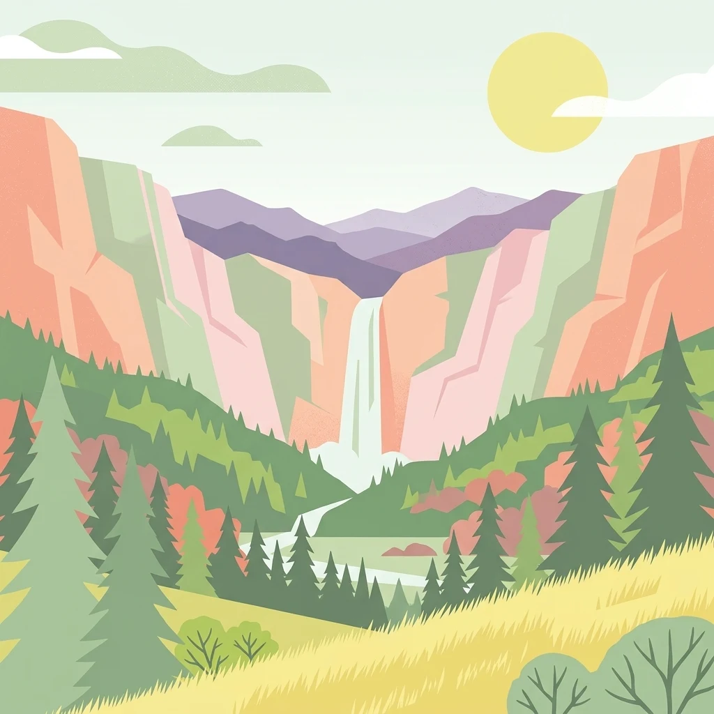
Read Gorczański Park Narodowy through mountain forest and rivers
Mountain forest, grassland, and river records across Gorczański Park Narodowy
Geographic analysis of Carpathian mountain summits.
Peaks
Explore the named peaks identified within the borders of Gorczański Park Narodowy. This collection provides a structured view of the mountain summits and ridges, helping to map the physical terrain and elevation markers that define this significant Carpathian landscape.
Geographic analysis of park landforms
Mountain saddles
This collection identifies the distinct saddle landforms situated throughout the Gorczański Park Narodowy mountain system. Study the topographic low points that connect summit ridges and influence the surrounding slopes within this protected Carpathian landscape.
Geographic atlas of protected mountain karst features
Cave entrances
Review the established cave entrance data for Gorczański Park Narodowy. This collection focuses on the physical surface connections within the park boundaries, helping to map the geological variety of these Carpathian forest slopes and ridges.
Mapping the connected ridges and Carpathian massifs.
Mountain ranges
This collection examines the mountain range features found within Gorczański Park Narodowy. It highlights the geological connectivity of the massifs, ridges, and highland plateaus that characterize this protected Carpathian landscape, offering a precise look at the terrain that supports the park's dense forests and iconic pastoral clearings.
Hydrological features of the Carpathian massif
Rivers
This geographic collection documents the river systems and substantial watercourses associated with Gorczański Park Narodowy. Trace the flow of these channels as they navigate the forested valleys and mountain ridges of this Polish protected area, providing critical context for understanding the broader drainage patterns of the Gorce range.
Index of identified rock features in the Carpathian massif
Rock formations
Access a structured collection of named rock formations located within the boundaries of Gorczański Park Narodowy. The focus is on individual outcrops and exposed masses that mark the landscape, providing geographic data for enthusiasts and researchers studying the features of this unique Polish protected area.
Gorce Mountains stream geography
Streams
Compare named stream records connected with Gorczański Park Narodowy and its wooded ridges, shaded gullies, open clearings, and wet mountain depressions. The collection preserves each smaller watercourse classification without inventing source, mouth, seasonal behaviour, discharge, tributary connections, or exact boundary coverage.
Continue Exploring the Protected Landscapes of Gorczański Park Narodowy
Delve into the geographic data and map-based context of Gorczański Park Narodowy. MoriAtlas provides a structured look at the mountain terrain, forest composition, and protected boundaries that define this essential Carpathian conservation area.