
Tracing the granite summits, glacial cirques, and forested valleys of this mountain region.
Named Natural Features and Geographic Landmarks of Sierra de Guadarrama National Park
This collection maps the diverse geographic entities associated with Sierra de Guadarrama National Park. Users can identify individual mountain peaks, high-altitude lagoons, and significant geological formations that define the Sistema Central range. Every entry highlights the spatial context of these features, from the peaks of Peñalara to the distinct granite structures of La Pedriza, offering a structured perspective on the park terrain.
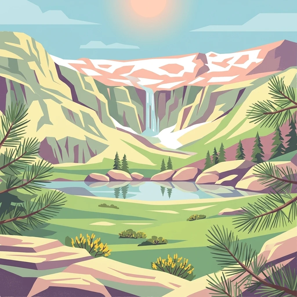
A geographic guide to the granite summits, glacial valleys, and major watersheds of central Spain.
Natural Features and Mountain Landmarks of Sierra de Guadarrama National Park
Geographic atlas of high-altitude summits and ridges.
Peaks
Examine the named peaks within the Sierra de Guadarrama National Park. This resource provides a focused look at individual mountain summits, their topographic prominence, and their role within the broader landscape structure of the Sistema Central mountain system.
Watercourses of the Sistema Central mountain range
Rivers
Analyze the rivers associated with Sierra de Guadarrama National Park, a vital mountain range in central Spain. This collection maps the diverse watercourses originating from granite peaks and forested slopes, offering insight into the park role as a central Iberian watershed for major regional river basins.
Topographic low points in the Iberian granite range.
Mountain saddles
Investigate the unique saddle features identified throughout Sierra de Guadarrama National Park. Each entry details the topographic profile and placement of these low points between granite summits, helping to clarify the complex ridge structure and regional relief of this protected mountain environment.
Mapped stream descents and granite mountain geology
Waterfalls
Analyze the distribution of named waterfall features across Sierra de Guadarrama National Park. These records highlight where stream channels descend across vertical rock faces, offering insight into the park's granite-based hydrology and glacial landscape history.
Mapped basin and terrain data for alpine water bodies
Lakes
Examine the specific inland water bodies mapped within Sierra de Guadarrama National Park. This data-driven collection highlights the basin elevations and landscape context of these natural lakes, providing a detailed look at how these features interface with the granite peaks and glacial formations of the Sistema Central.
Geographic atlas of range structures and massifs
Mountain ranges
Examine the specific mountain range formations and associated highland systems within Sierra de Guadarrama National Park. This structured index provides a clear view of how these complex geological ranges and ridges align across the park boundary and shape the surrounding high-altitude terrain.
Granite landforms within the Central System
Ridges
Examine the structural ridges found across the Sierra de Guadarrama National Park landscape. This collection outlines the high-ground features that divide slopes and valleys, providing essential context for the park's watershed distribution and tectonic formation.
Mapping watercourse distribution and basin connectivity.
Streams
Investigate the various streams that traverse the granite slopes of Sierra de Guadarrama National Park. This collection highlights the role of these watercourses as they define the mountainous terrain and influence the ecological character of the Madrid and Segovia borderlands.
Continue Exploring Sierra de Guadarrama National Park's Protected Landscape and Geography
Deepen your understanding of Sierra de Guadarrama National Park by exploring its specific mapped boundaries and regional geographic context within the Iberian Peninsula. Discover the unique protected landscape features, diverse ecosystems, and detailed terrain that define this significant national park. MoriAtlas provides the structured data to navigate and comprehend such vital natural areas.