
A comprehensive index of volcanic peaks, forest systems, and coastal terrains within the protected boundary.
Named Natural Features and Geographic Landscapes of Guadeloupe National Park, Guadeloupe
This collection maps the diverse natural features found throughout Guadeloupe National Park and its surrounding protected environments in the Lesser Antilles. From the geothermally active summits of the La Soufrière volcanic massif to the expansive mangrove wetlands of the Grand Cul-de-Sac Marin, the data traces the topographic complexity of Basse-Terre. Use these entries to investigate specific landforms, water systems, and ecological zones that define this significant Caribbean conservation landscape.
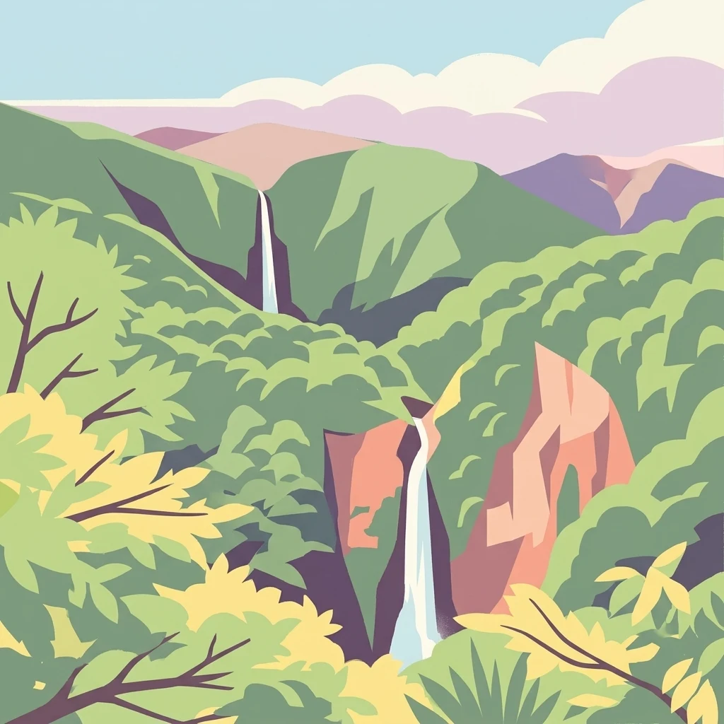
Mapping the volcanic summits, dense cloud forests, and coastal wetland ecosystems of Basse-Terre
Geographic Landmarks and Natural Features of Guadeloupe National Park
Mapping volcanic landforms of the Basse-Terre massif
Volcanoes
The volcanic massif within Guadeloupe National Park creates a rugged terrain of steep ridges and craggy slopes. This collection highlights the named volcano features, including stratovolcanoes and volcanic plugs, providing an atlas perspective on the geological origins that shape the park's distinct elevation zones and montane environments.
Geography of inland basins in the volcanic massif
Lakes
Explore the natural lakes located within the complex volcanic terrain of Guadeloupe National Park. This collection tracks standing water bodies across the island's mountainous interior, providing insight into the diverse hydrological features that help shape the local rainforest ecosystems and upland elevations of Basse-Terre.
Mapping hydrological systems across volcanic mountain terrain
Rivers
Explore the collection of named rivers associated with the tropical rainforests and volcanic peaks of Guadeloupe National Park. This resource details the natural watercourses that define the rugged topography of Basse-Terre, providing a clear perspective on the drainage systems that connect the interior highland slopes to the coastal regions.
Geographic analysis of islands near the volcanic massif
Islands
Discover the specific islands linked to the diverse terrain of Guadeloupe National Park. This resource provides a clear spatial overview of how these distinct landforms interface with the park, including their proximity to coastal rainforests, volcanic foothills, and the protected marine environments of the archipelago.
Mapped watercourses within the Caribbean volcanic massif
Streams
Explore the collection of named streams distributed throughout the mountainous terrain of Guadeloupe National Park. This geographic record focuses on the watercourses that define the drainage basins and valleys of Basse-Terre, offering insight into the park's tropical hydrological systems and the rugged volcanic landscape.
Mapping the mountainous core of Basse-Terre
Peaks
Examine the distribution of named peaks within Guadeloupe National Park. This record details the summits that define the mountainous interior of Basse-Terre, from the active volcanic cone of La Soufriere to surrounding ridges and massifs, providing a clear overview of the park elevation geography.
Mapping vertical water features in Basse-Terre
Waterfalls
The volcanic massif of Guadeloupe National Park supports a network of stream descents and waterfalls formed through river incision into steep, mountainous terrain. This index provides a technical overview of named features across the park's tropical forest, offering spatial context for understanding the hydrological complexity of this Caribbean biosphere reserve.
Continue Your Atlas Exploration of Guadeloupe National Park's Protected Landscape
Deepen your understanding of Guadeloupe National Park by navigating its specific geographic context and protected area features. Discover how this national park contributes to the regional atlas of conservation landscapes in the Caribbean. Continue to explore its mapped terrain and understand its significance as a protected natural environment.