
Mapping the tidal plains, island dunes, and estuarine channels of this North Sea region
Catalog of Natural Landscapes and Geographic Features in Hamburg Wadden Sea National Park
Discover the complex geographic components that define Hamburg Wadden Sea National Park. This collection tracks the formation of sandbars, mixed mudflats, and coastal dunes, providing a structured overview of the features shaped by the Elbe River estuary and the North Sea tidal cycle. Examine the spatial distribution of these landforms to understand the dynamic environment within and surrounding the protected national park boundaries.
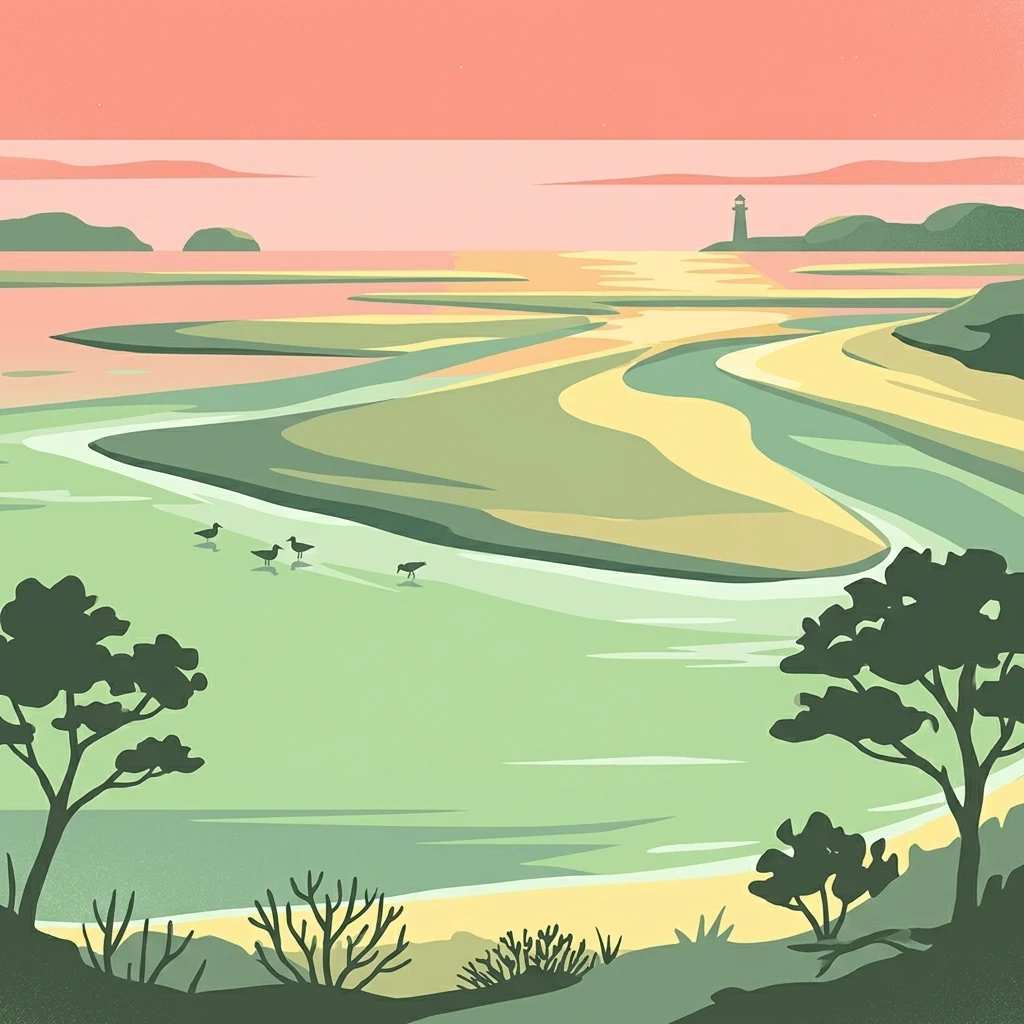
Mapping the dune islands, tidal channels, and sand bars of the German Bight.
Geographic and Natural Features of Hamburg Wadden Sea National Park
Coastal landforms and tidal landscape features
Islands
Discover the specific islands identified within Hamburg Wadden Sea National Park. This collection highlights the spatial relationship between dune islands and the surrounding mudflat ecosystem, providing a clear map-based context for these permanent terrestrial features located off the German coast.
Coastal geometry within the German Wadden Sea
Bays
Examine the distribution of bays associated with Hamburg Wadden Sea National Park. This collection tracks the physical presence of recessed shorelines and water-covered tidal plains, offering insight into how these geomorphic features define the park boundary near the Elbe River estuary.
Continue Exploring Hamburg Wadden Sea National Park's Geographic Context and Mapped Terrain
Deepen your understanding of Hamburg Wadden Sea National Park by examining its precise geographic boundaries and its role within the broader Wadden Sea tidal ecosystem. MoriAtlas provides structured data to help you trace the park's unique landscape characteristics, compare its protected area status, and explore the surrounding North Sea geography for comprehensive regional context.