
Mori Atlas logo
National parkHamburg Wadden Sea National Park

Explore the mapped boundaries and unique geography of this North Sea national park.

Hamburg Wadden Sea National Park: A Dynamic Tidal Ecosystem and Protected Landscape

(Nationalpark Hamburgisches Wattenmeer)

Hamburg Wadden Sea National Park represents a critical segment of the vast Wadden Sea tidal system, recognized globally for its ecological significance. This protected area, an exclave of Hamburg in the German Bight, features thousands of hectares of dynamic sand and mudflats, intricately carved by tidal channels and punctuated by the dune islands of Neuwerk, Scharhörn, and Nigehörn. As a national park, it preserves an extraordinary intertidal ecosystem vital for millions of migratory birds and resident marine mammals, offering a unique lens for understanding coastal geography and protected landscape dynamics.

Wadden SeaTidal FlatsNorth SeaMudflat EcosystemBird MigrationUNESCO World Heritage
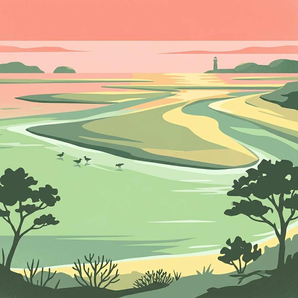
Illustrated coastal landscape showing tidal channels, sandbars, and a lighthouse in the distance

Hamburg Wadden Sea National Park

National park

Park overview

Structured park overview, official facts, and landscape profile for Hamburg Wadden Sea National Park

Hamburg Wadden Sea National Park park facts, protected area profile, and essential visitor context

Review the core facts for Hamburg Wadden Sea National Park, including designation, size, terrain, visitor scale, habitats, and operating context in one park-focused overview.

About Hamburg Wadden Sea National Park

Hamburg Wadden Sea National Park represents the smallest yet ecologically vital component of the transboundary Wadden Sea protection system that spans the Netherlands, Germany, and Denmark. This coastal protected area sits within the Elbe River estuary as it opens into the North Sea, creating a unique combination of brackish water conditions, strong tidal influences, and sediment-rich waters that support exceptional biodiversity. The park's three islands—Neuwerk, Scharhörn, and Nigehörn—form the visible above-water portion of a much larger submerged landscape that includes extensive tidal mudflats, sand bars, and salt marsh zones.

The national park is administered as an exclave of Hamburg, placing it under the jurisdiction of this city state despite its geographic separation from the main body of Hamburg by approximately 50 kilometers of open water and mudflat. This administrative arrangement reflects the historical connection between Hamburg and the island of Neuwerk, which has been part of the hanseatic city's territory for centuries. The park management operates from both the island of Neuwerk, at the Nationalpark-Station Neuwerk, and from Hamburg proper, at the city's environmental authority.

The ecological significance of Hamburg Wadden Sea extends well beyond its modest 13,750-hectare footprint. The park's position at the mouth of the Elbe creates particularly favorable conditions for marine life, with the natural influx of sediment bringing high concentrations of nutrients that support abundant food sources for juvenile fish and seabirds. This productivity translates directly into the park's international importance as a staging area for migratory birds, which stop here to feed and build fat reserves necessary for successful breeding in their northern nesting grounds. The Wadden Sea as a whole hosts between 10 and 12 million waders, geese, ducks, and gulls during peak migration periods, with Hamburg's sector playing a critical role in this larger ecosystem.

Quick facts and research context for Hamburg Wadden Sea National Park

Hamburg Wadden Sea National Park covers 13,750 hectares along the North Sea coast in northern Germany. It was established on April 9, 1990, following a decision by the Hamburg Parliament, and expanded in 2001. The park forms part of a transboundary protected area network spanning the Dutch, German, and Danish Wadden Sea. It holds multiple international protection designations, including Ramsar Wetland status since 1990, UNESCO Biosphere Reserve status since 1992, and World Heritage Site status since 2011. The park is also part of the EU Natura 2000 network. Management responsibility lies with the Nationalpark-Verwaltung Hamburgisches Wattenmeer, based in Hamburg.

Protection and recognition

Tracing the official 1990 conservation establishment and regional management framework

Official Protection Status and Designation of Hamburg Wadden Sea National Park

National park researchers can analyze the documented protection status and designated management scope established for Hamburg Wadden Sea National Park in 1990. Analyzing structured conservation profiles offers essential geographic context for understanding how coastal German sanctuaries are legally defined and managed.

Protection details

Protection scope
Mixed
Designated year
1990
Transboundary protection
No
Park context

Deeper park guide and search-rich context for Hamburg Wadden Sea National Park

Hamburg Wadden Sea National Park history, landscape, wildlife, and travel context

Explore Hamburg Wadden Sea National Park through its history, landscape character, ecosystems, wildlife, conservation priorities, cultural context, and seasonal travel timing in a structured park guide built for atlas discovery and search intent.

Why Hamburg Wadden Sea National Park stands out

Hamburg Wadden Sea National Park is best known for its extraordinary tidal ecosystem, where the rhythmic rise and fall of the North Sea creates one of the world's most dynamic and biologically productive coastal landscapes. The park's three islands, Neuwerk, Scharhörn, and Nigehörn, support distinctive dune habitats and serve as crucial breeding and resting sites for seabirds. The intertidal mudflats are renowned for supporting massive concentrations of migratory birds, including approximately 180,000 shelducks that undergo their annual molt here and around 200,000 eider ducks that use the area as a molting ground. The park is also notable for its populations of common seals and gray seals, which populate the sandbanks and tidal zones. The near-pristine condition of the ecosystem, protected by multiple layers of national and international conservation frameworks, makes this small park a flagship for Wadden Sea conservation.
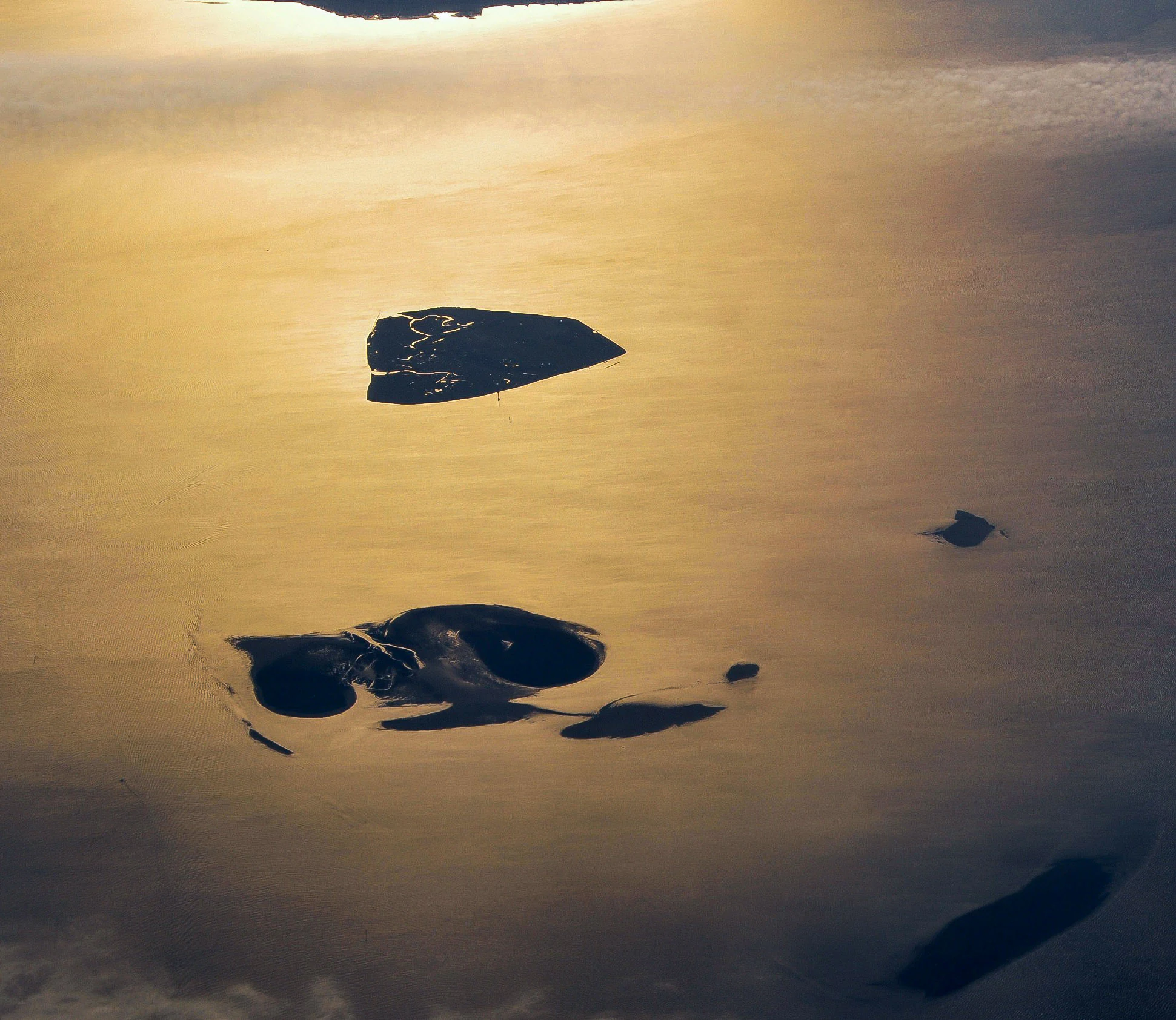
Aerial view of small islands and tidal mudflats in the Hamburg Wadden Sea National Park during sunset
Aerial view of Hamburg Wadden Sea National Park showing islands and surrounding mudflats at golden hour

Hamburg Wadden Sea National Park history and protected-area timeline

The protection of Hamburg's Wadden Sea area evolved over several decades, beginning with early conservation efforts focused on protecting bird populations and their habitats. The foundation for national park status was laid in 1939, when the island of Scharhörn and portions of the surrounding sandbank were designated as a nature reserve at the initiative of Neuwerk teacher Heinrich Gechter, who had advocated since 1911 for the establishment of a bird sanctuary at Scharhörn. This initial protected area covered approximately 40 hectares and was expanded to 170 hectares in 1967.

On October 28, 1986, a significant portion of the Neuwerk-Scharhörn mudflat area was designated as a nature reserve, alongside the Neuwerker Ostvorland and Kleiner Vogelsand areas. The transformation into a national park came on April 9, 1990, when the Hamburg Parliament reclassified the area as Hamburg Wadden Sea National Park, superseding the previous protected area designations that included the LSG Neuwerk, NSG Neuwerker and Scharhörner Watt, and NSG Insel Neuwerk/Kleiner Vogelsand. On April 5, 2001, the national park law was updated and the protected area was expanded to its current extent.

The park's international recognition grew substantially after its establishment. In 1992, it was designated as a biosphere reserve under UNESCO's Man and the Biosphere Programme, adding an international protection framework to its national park status. The most significant recognition came in 2011 when the Wadden Sea, including Hamburg's sector, was inscribed as a UNESCO World Heritage Site. The Danish Wadden Sea joined this World Heritage designation in 2014, completing the transboundary recognition of this remarkable tidal ecosystem.

Hamburg Wadden Sea National Park landscape and geographic character

The landscape of Hamburg Wadden Sea National Park is defined by the dynamic interplay between North Sea tides and the sediment-laden waters of the Elbe River estuary. The park consists primarily of sand and mixed mudflats that stretch across thousands of hectares, rising and falling with the twice-daily tidal cycle that exposes and submerges this vast tidal plain. Shallow tidal channels, locally known as Prielen, carve intricate patterns across the mudflat surface, draining water as the tide recedes and carrying sediments that gradually shape and reshape the seafloor.

The three islands that rise above the tidal flats—Neuwerk, Scharhörn, and Nigehörn—provide the park's most permanent terrestrial features. Neuwerk is the largest and oldest of these islands, home to the settlement and farm buildings that have characterized this island for centuries. Scharhörn and Nigehörn are smaller dune islands, their landscapes shaped by wind-blown sand and the sparse vegetation that can survive in this harsh coastal environment. Sand bars known as _Plaaten_ emerge from the mudflats at low tide, providing crucial resting and haul-out sites for seals and birds.

The visual character of the park changes dramatically with the tides, creating a landscape that is never static. At high tide, the open water of the North Sea dominates the view, with only the island dunes and the highest sand bars visible above the waves. At low tide, the vast mudflat expanse reveals itself, crisscrossed by tidal channels and dotted with the dark specks of feeding birds. This rhythmic transformation defines the Wadden Sea experience and shapes every aspect of the park's ecology and human use.
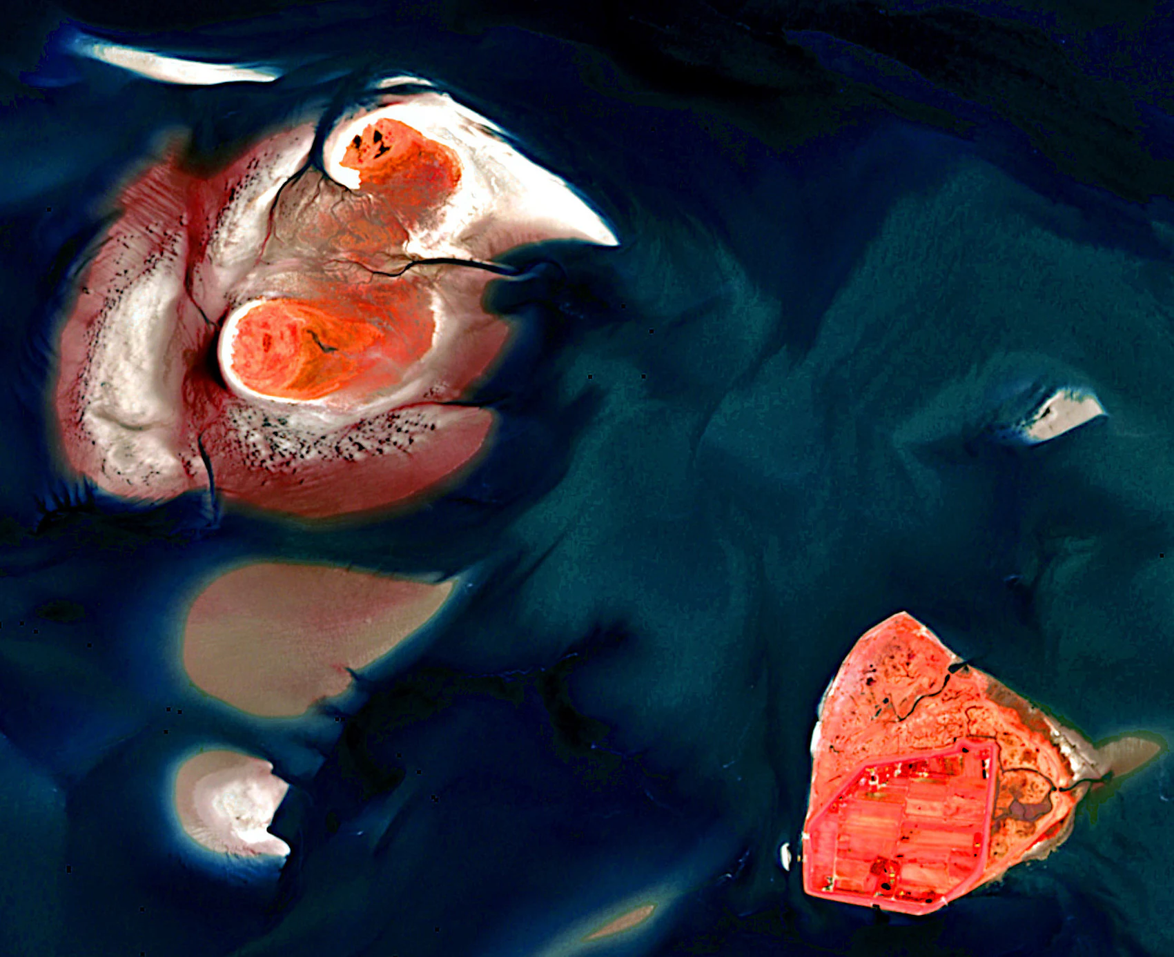
Satellite image showing the coastal wetlands and islands of Hamburg Wadden Sea National Park
Satellite view of Hamburg Wadden Sea National Park featuring Neuwerk, Scharhörn, and Nigehörn islands

Hamburg Wadden Sea National Park ecosystems, habitats, and plant life

The nature of Hamburg Wadden Sea National Park centers on one of the world's most productive and biologically significant tidal ecosystems. The intertidal mudflats support an extraordinary density of invertebrate life—snails, worms, crustaceans, and bivalves—that forms the base of a complex food web supporting vast populations of birds and marine mammals. The approximately 2,000 animal species found within the park include roughly 250 species that are endemic to the salt marshes of the Wadden Sea, found nowhere else on Earth in such concentrations.

The salt marsh zones, though limited in extent compared to the mudflats, play important ecological roles as transition habitats between the marine and terrestrial environments. These marshes support specialized plant communities adapted to tolerate regular flooding and high soil salinity, and they provide important nesting habitat for certain bird species. The shallow tidal channels and sand bars offer critical foraging and resting areas for marine mammals and birds alike.

The water column itself supports diverse fish communities, with the nutrient-rich waters at the Elbe mouth providing nursery habitat for many species of juvenile fish. These fish populations attract predatory birds and marine mammals, creating the interconnected ecological relationships that characterize this productive coastal system. The dynamic nature of the tidal environment, with its constant mixing of fresh and salt water, creates conditions that support high biological productivity across all trophic levels.
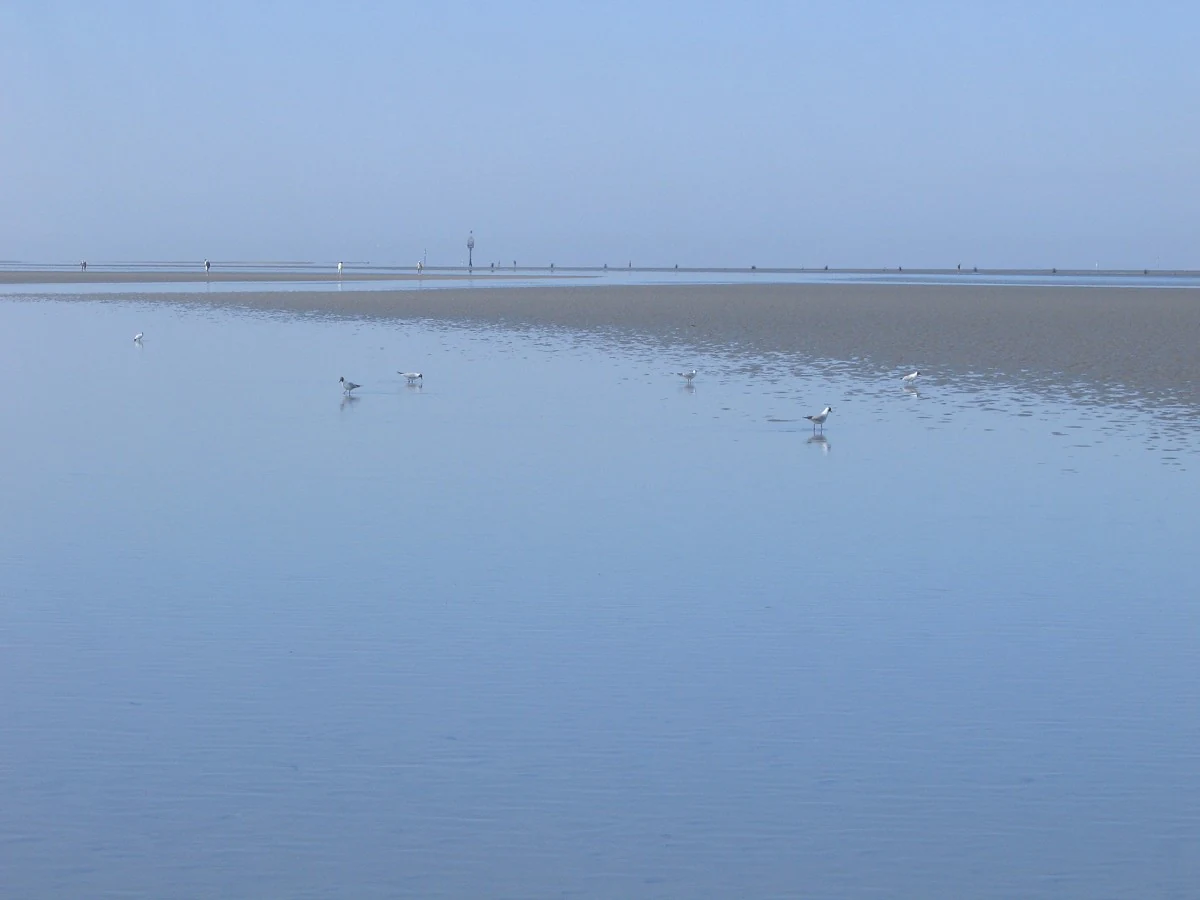
Tidal flats with birds in the Hamburg Wadden Sea National Park
Tidal flats with birds in Hamburg Wadden Sea National Park

Hamburg Wadden Sea National Park wildlife and species highlights

The wildlife of Hamburg Wadden Sea National Park is defined by the extraordinary concentrations of migratory birds that use the area throughout the year. The park serves as a critical molting area for large populations of diving ducks and sea ducks, with approximately 180,000 shelducks from the northwestern European population spending their molting period from July to September within the Wadden Sea, protected by the three German national parks. Similarly, about 200,000 eider ducks molt here annually, while roughly 1,000 pairs of eiders also use the mudflats as a breeding area, primarily on the island of Amrum.

Seal populations represent another major wildlife attraction, with both common seals and gray seals present in significant numbers. The sand bars and isolated tidal islands provide important haul-out sites where seals rest between feeding expeditions. The Elbe mouth's high food availability supports these marine mammals throughout the year.

Beyond the headline species, the park supports remarkable diversity among waders, geese, ducks, and gulls. The entire Wadden Sea system hosts between 10 and 12 million of these birds during peak migration periods, with Hamburg's sector serving as an essential staging area where birds from northern breeding grounds stop to feed and build energy reserves before continuing their journeys. The park's collaboration with the Jordsand Society in bird conservation work underscores the international significance of these bird populations and the commitment to their protection.

Hamburg Wadden Sea National Park conservation status and protection priorities

Hamburg Wadden Sea National Park sits at the center of one of the most successful multi-level conservation frameworks in Europe. The park's protection rests on national legislation that established the national park in 1990 and expanded it in 2001, with the law distinguishing between Zone 1 areas under strict protection and Zone 2 areas with more moderate restrictions. Within Zone 1, activities such as mudflat hiking and horse-drawn carriage rides are permitted only along designated routes to minimize disturbance to sensitive species and habitats.

Internationally, the park is recognized through multiple overlapping designations that reinforce its protection. As a Ramsar Wetland since 1990, it is acknowledged as a wetland of international importance, particularly for waterbird habitat. Its UNESCO Biosphere Reserve status since 1992 places it within the global network of biosphere reserves that balance conservation with sustainable development. The 2011 inscription of the Wadden Sea as a World Heritage Site elevated the park's conservation significance to the highest international level, recognizing the outstanding universal value of this transboundary tidal ecosystem.

The park is also integrated into the EU's Natura 2000 network, fulfilling obligations under both the Flora-Fauna-Habitat Directive and the Birds Directive. This European-level protection ensures that the park's habitats and species are considered within the broader context of EU environmental policy. The coordination between German national park management and the Dutch and Danish counterparts who protect adjoining sectors of the Wadden Sea creates a truly transboundary approach to conservation that reflects the ecological unity of this remarkable tidal system.

Hamburg Wadden Sea National Park cultural meaning and human context

The cultural context of Hamburg Wadden Sea National Park is deeply rooted in the historical relationship between Hamburg and its island territories. The island of Neuwerk has been part of the hanseatic city state's territory since medieval times, representing one of Hamburg's oldest land holdings outside the city itself. This historical connection explains why a park covering mudflats and islands nearly 50 kilometers from Hamburg's mainland still falls under the jurisdiction of this city state rather than the neighboring federal states of Lower Saxony or Schleswig-Holstein.

The human presence on Neuwerk dates back centuries, with the island supporting a small farming community that has adapted to the unique conditions of island life in this challenging environment. The relationship between the island community and the surrounding tidal landscape has shaped both the cultural identity of the place and the way the landscape has been used and perceived. Traditional activities such as mudflat walking and seasonal bird harvesting, though now regulated within the national park framework, reflect this long history of human interaction with the Wadden Sea environment.

The park's management maintains facilities on Neuwerk at the Turmwurt, preserving the connection between administration and the islands while also operating from Hamburg's environmental authority offices. This dual presence reflects both the practical realities of managing a dispersed coastal park and the symbolic importance of maintaining Hamburg's historic ties to its offshore territories.

Top sights and standout views in Hamburg Wadden Sea National Park

The defining highlight of Hamburg Wadden Sea National Park is its role as part of the world's largest connected tidal mudflat system, a landscape so ecologically significant that it earned UNESCO World Heritage status. The park's three islands—Neuwerk with its historic farm and watchtower, and the smaller dune islands of Scharhörn and Nigehörn—offer the most tangible entry points for experiencing this otherwise submerged landscape. The dramatic tidal cycles that alternately flood and expose thousands of hectares of mudflat create an ever-changing environment unlike any terrestrial protected area.

The wildlife spectacle of the molting season, when hundreds of thousands of shelducks and eider ducks concentrate within the park's boundaries, represents one of the most remarkable bird congregations in Europe. The presence of both common and gray seals adds marine mammal interest to a park that might otherwise be perceived as merely a flat expanse of mud and sand. The park's small size relative to its neighboring Wadden Sea national parks in Lower Saxony and Schleswig-Holstein makes it no less significant in ecological terms, with its position at the Elbe mouth providing particularly productive conditions.

Best time to visit Hamburg Wadden Sea National Park

The experience of Hamburg Wadden Sea National Park varies dramatically with the seasons and, more fundamentally, with the twice-daily tidal cycle that governs all activities in this intertidal environment. The summer months from June to August offer the warmest conditions for exploring the mudflats and islands, though this is also peak molting season for many bird species, when disturbances must be minimized. Spring migration from April to May brings large numbers of waders and waterfowl through the area, creating excellent birdwatching opportunities.

Winter visits offer a different character, with the shorter days and harsher conditions limiting access but providing opportunities to see different species and experience the stark beauty of the North Sea in its wilder season. The timing of low tide determines the practical possibilities for mudflat hiking and wildlife observation regardless of season, and visitors should plan their trips around tide tables. The transitional seasons of spring and autumn often provide the most dynamic conditions, with the changing seasons bringing different bird populations and atmospheric lighting conditions that enhance the landscape's visual appeal.


Monthly climate preview

Long term temperature and precipitation trends across 1991 to 2020 climatology normals

Monthly Climate Normals for Hamburg Wadden Sea National Park

Long term climate normals show mean monthly temperatures ranging from just over two degrees Celsius to nearly eighteen degrees Celsius, supported by year round precipitation averages. Examining the full twelve month profile reveals detailed daily minimums, maximums, and monthly averages to help trace historical climate baselines across the coastal reserve.
Annual mean10 °C
2 °C18 °C
Jan
Feb
Mar
Apr
May12°
Jun15°
Jul18°
Aug18°
Sep15°
Oct11°
Nov
Dec
Warmest month
August

17.9 °C

Coolest month
January

2.2 °C

Wettest month
December

2.7 mm/day

Driest month
April

1.4 mm/day

Park location guide

Geography guide, regional context, and park location map for Hamburg Wadden Sea National Park

Hamburg Wadden Sea National Park park geography, regions, and map view in Germany

Understand where Hamburg Wadden Sea National Park sits in Germany through a broader geographic reading of the surrounding landscape, nearby location context, and its mapped position within the national park landscape.

How Hamburg Wadden Sea National Park fits into Germany

Germany is a federal republic in Western and Central Europe with a population of over 83 million across sixteen constituent states. It is Europe's largest economy by nominal GDP and a major global exporter and importer. The capital is Berlin, and the country borders Denmark, Poland, Czech Republic, Austria, Switzerland, France, Luxembourg, Belgium, and the Netherlands.

Wider geography shaping Hamburg Wadden Sea National Park in Germany

Germany is located in Western and Central Europe, spanning 357,022 km². It borders Denmark to the north, Poland and the Czech Republic to the east, Austria and Switzerland to the south, and France, Luxembourg, Belgium, and the Netherlands to the west. The country has coastlines on the Baltic Sea and North Sea to the north, with the Alps located in the southern region.

Map view of Hamburg Wadden Sea National Park

Use this park location map to pinpoint Hamburg Wadden Sea National Park in Germany, understand its exact geographic position, and read its mapped placement within the surrounding landscape more clearly.

Pigeon | © OpenStreetMap contributors

Location context for Hamburg Wadden Sea National Park

Hamburg
Natural feature types

Explore the Natural Landscapes and Geographic Features of Hamburg Wadden Sea National Park

Navigate the complete dataset of natural landforms identified within Hamburg Wadden Sea National Park. This MoriAtlas collection provides a spatial foundation for understanding the complex tidal flats, dunes, and channels that form this critical North Sea protected area.

Explore the dynamic mudflats, sand bars, and island habitats, offering an atlas view of its protected Wadden Sea geography.

Hamburg Wadden Sea National Park Photos: Visualizing Unique Tidal Landscapes and Coastal Scenery

Explore Hamburg Wadden Sea National Park through striking imagery, revealing its unique tidal mudflats, dynamic coastal scenery, and vital island habitats. Visual references help clarify its UNESCO World Heritage significance, the critical migratory bird stopovers, and the distinct intertidal environment of the German North Sea.

Aerial view of small islands and tidal mudflats in the Hamburg Wadden Sea National Park during sunset

Wet, muddy tidal flats under a partly cloudy sky with distant Neuwerk Island and a few people walking

Satellite image showing the coastal wetlands and islands of Hamburg Wadden Sea National Park

Tidal flats with birds in the Hamburg Wadden Sea National Park

Park atlas

Browse nearby Wadden Sea national parks and coastal protected areas, tracing the expansive tidal ecosystems across the German Bight.

Discover More Protected Areas Near Hamburg Wadden Sea National Park, Exploring the North Sea's Tidal Landscapes

After exploring Hamburg Wadden Sea National Park, compare its unique tidal flats and island ecosystems with other protected areas along the North Sea coast. Expanding your view allows for deeper atlas-style discovery, revealing the interconnected geography and conservation efforts across the wider Wadden Sea region.
Watercolor painting showing coastal wetlands with mudflats, salt marshes, and distant hills under a soft light
National parkLower Saxony
Park boundaries overlap#1 closest

West

Lower Saxon Wadden Sea National Park: Protected Coastal Landscape & Geography Atlas

Explore mapped boundaries, intertidal zones, and Lower Saxony's natural terrain.

Delve into the Lower Saxon Wadden Sea National Park, a significant national park situated in Lower Saxony, Germany. This page serves as your atlas entry point for understanding its protected landscape, characterized by vast mudflats, salt marshes, and a crucial role as a migratory bird corridor. Discover the geographic context of this UNESCO World Heritage site and its unique intertidal ecosystem through structured map data and detailed landscape information.

Area
345.8 km²
Established
1986
IUCN
II
Relief
Lowland
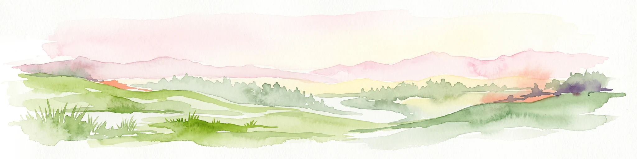
Watercolor illustration of a landscape with green hills, a body of water, and grassy foregrounds
National parkSchleswig-Holstein
1.6 km away#2 closest

North

Schleswig-Holstein Wadden Sea National Park: Germany's Largest Protected Tidal Landscape

Explore the mapped geography of this vital North Sea national park.

Schleswig-Holstein Wadden Sea National Park is a monumental protected area, recognized globally as a UNESCO World Heritage Site for its extraordinary tidal wetland ecosystem. This page offers detailed insights into its geographic scope, from the North Frisian Islands to the Elbe estuary, highlighting the dynamic interplay of mudflats, salt marshes, and coastal terrain. Discover the park's critical role as a migratory bird flyway and marine nursery, providing rich data for geographic and atlas exploration of this unique North Sea protected landscape.

Area
4,410 km²
Established
1985
IUCN
II
Visitors
1.7M annual
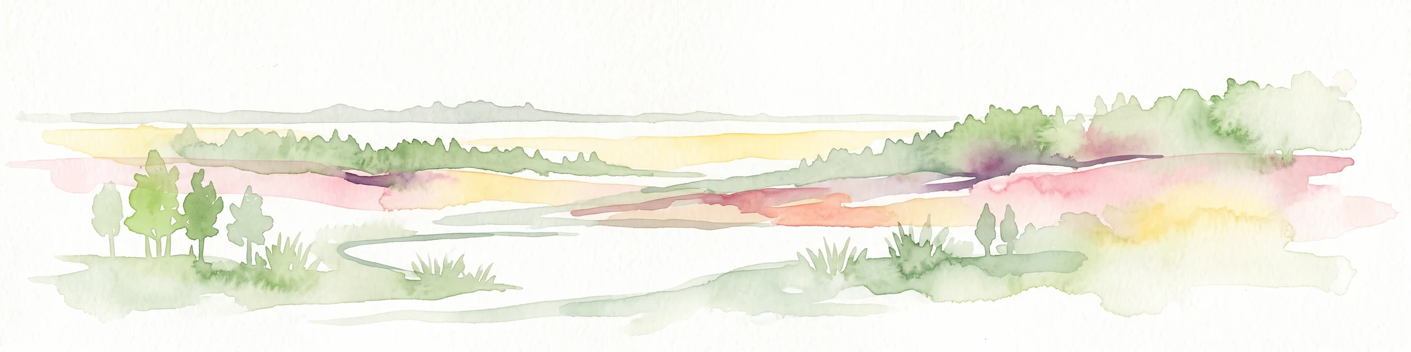
A horizontal watercolor illustration showing a coastal landscape with soft pink and green hues, featuring small trees, marshy terrain, and a gentle horizon line.
Nature reserveLower Saxony
About 4.5 km away#3 closest

Southeast

Cuxhavener Küstenheiden Nature Reserve: Geography and Coastal Heathland Atlas

Protected heath mosaic on the North Sea coast of Lower Saxony

Cuxhavener Küstenheiden stands as a landmark protected area along the German coast, showcasing an expansive mosaic of dry sand heaths, wet heathlands, and coastal dunes. This nature reserve acts as a vital bridge between the inland sandy terrain and the tidal Wadden Sea, providing a sustained habitat managed for ecological integrity through large-scale grazing.

Area
8.92 km²
Established
1983
IUCN
IV
Relief
Lowland
Nature reserveLower Saxony
About 14 km away#4 closest

Southeast

Wanhödener Moor Nature Reserve: Mapping Bog Ecology in Lower Saxony, Germany

Protected raised bog and coastal wetland landscapes

Located in the district of Cuxhaven, Wanhödener Moor represents a crucial fragment of original raised bog terrain in the North German Plain. This protected nature reserve provides insight into the historic human impact on peatlands and current conservation efforts to maintain wetland ecology and bog woodland transitions across the North Sea coastal region.

Area
0.39 km²
Established
1986
IUCN
IV
Relief
Lowland
Nature reserveLandkreis Cuxhaven
About 31 km away#5 closest

Southeast

Wildes Moor bei Stinstedt: Protected Raised Bog and Wetland Geography in Lower Saxony

Examining Moorland Habitat and Terrain within Landkreis Cuxhaven

Wildes Moor bei Stinstedt serves as a crucial example of a small scale raised bog landscape surviving within a modified agricultural plain. This overview outlines the protected area's history of peat extraction and drainage, offering a detailed perspective on the site's ongoing role as a managed habitat for specialized bog vegetation in the North German coastal region.

Area
0.57 km²
Established
1984
IUCN
IV
Relief
Lowland
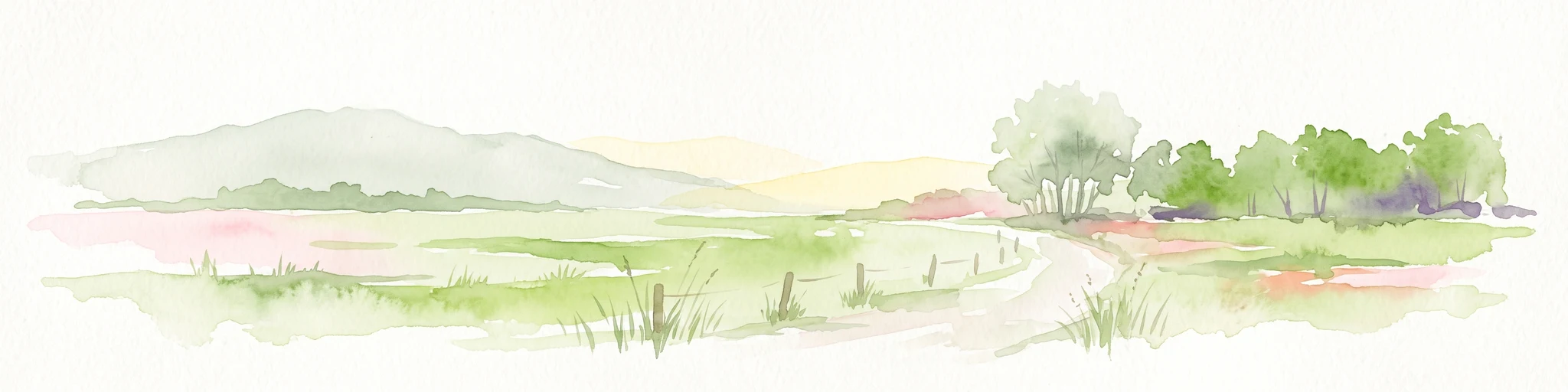
A soft, light-toned watercolor painting of a wetland landscape featuring green fields, a small path, a line of trees, and a distant low hill.
Nature reserveBremen
35 km away#6 closest

South

Luneplate Nature Reserve: A Detailed Geographic Atlas of Bremen's Coastal Wetland Landscapes

Protected estuarine habitats and tidal geography in the Weser river basin

Luneplate Nature Reserve offers a rich study of coastal wetland geography. Spanning the interface between the Weser river and the North Sea, the reserve features extensive mudflats, saltmarshes, and reedbeds. This protected landscape serves as an essential migratory hub, providing habitat for diverse waterbird populations within the maritime environment of Bremerhaven.

Area
14.38 km²
Established
2015
IUCN
IV
A soft watercolor painting featuring a reflective water surface, grassy marshland in the foreground, a tree line in the midground, and rolling, misty hills in the background.
Nature reserveBremen
About 37 km away#7 closest

South

Düllhamm Nature Reserve: Protected Lowland Mosaic in Bremerhaven

Mapping the transitional forest and marshland terrain of Bremen.

Covering a small footprint, Düllhamm remains a vital nature reserve representing the lowland ecosystems of northern Germany. The area maps a unique gradient of dry oak-birch woodland shifting into wet meadows, boggy heath, and reed-covered marshes. This protected landscape offers a concentrated look at regional ecological patterns within the urbanized landscape of the Bremerhaven district.

Area
0.043 km²
Established
1984
Relief
Lowland
Climate
Temperate
Nature reserveLower Saxony
38 km away#8 closest

Southwest

Voslapper Groden-Süd Nature Reserve: Protected Wetland Map and Geographic Landscape

Coastal habitat mapping in Lower Saxony, Germany

Voslapper Groden-Süd represents a unique nature reserve on the North Sea coast of Lower Saxony, characterized by reclaimed land that has naturally evolved into a network of reedbeds and ponds. The site provides a critical avian refuge, set within a striking contrast of tidal geography and industrial surroundings, offering a valuable study in coastal conservation and land-use transition.

Area
3.88 km²
Established
2006
IUCN
IV
Relief
Lowland

Common questions about visiting, size, designation, and location context for Hamburg Wadden Sea National Park

Hamburg Wadden Sea National Park FAQs for park facts, access, geography, and protected area context

Find quick answers about Hamburg Wadden Sea National Park, including protected-area facts, park geography, trail and visitor context, and how the park fits into its surrounding country and regional landscape.
MoriAtlas Explorer

Continue Your Protected Areas Search Across the Global Atlas

Deepen your exploration by continuing the structured search for national parks and protected areas worldwide. Utilize the comprehensive filtering capabilities to compare different conservation landscapes and refine your understanding of global park geography. Discover more about the distribution and characteristics of protected natural areas.

Global natural geography