Mori Atlas logo
Park earthquake history

Explore a chronological archive of historical seismic events associated with the Lone valley karst landscape.

Recorded Earthquake History and Seismic Activity Near Hungerbrunnen-, Sacken- und Lonetal

This historical catalogue documents earthquake events recorded in the regional vicinity of Hungerbrunnen-, Sacken- und Lonetal. The collection provides data on event dates, magnitudes, and epicentre proximity to the protected area boundaries, allowing for a structured look at the seismic record of this part of the Swabian Alb. All entries are mapped by proximity to help analyze patterns of historical ground movement in the surrounding Baden-Württemberg landscape.

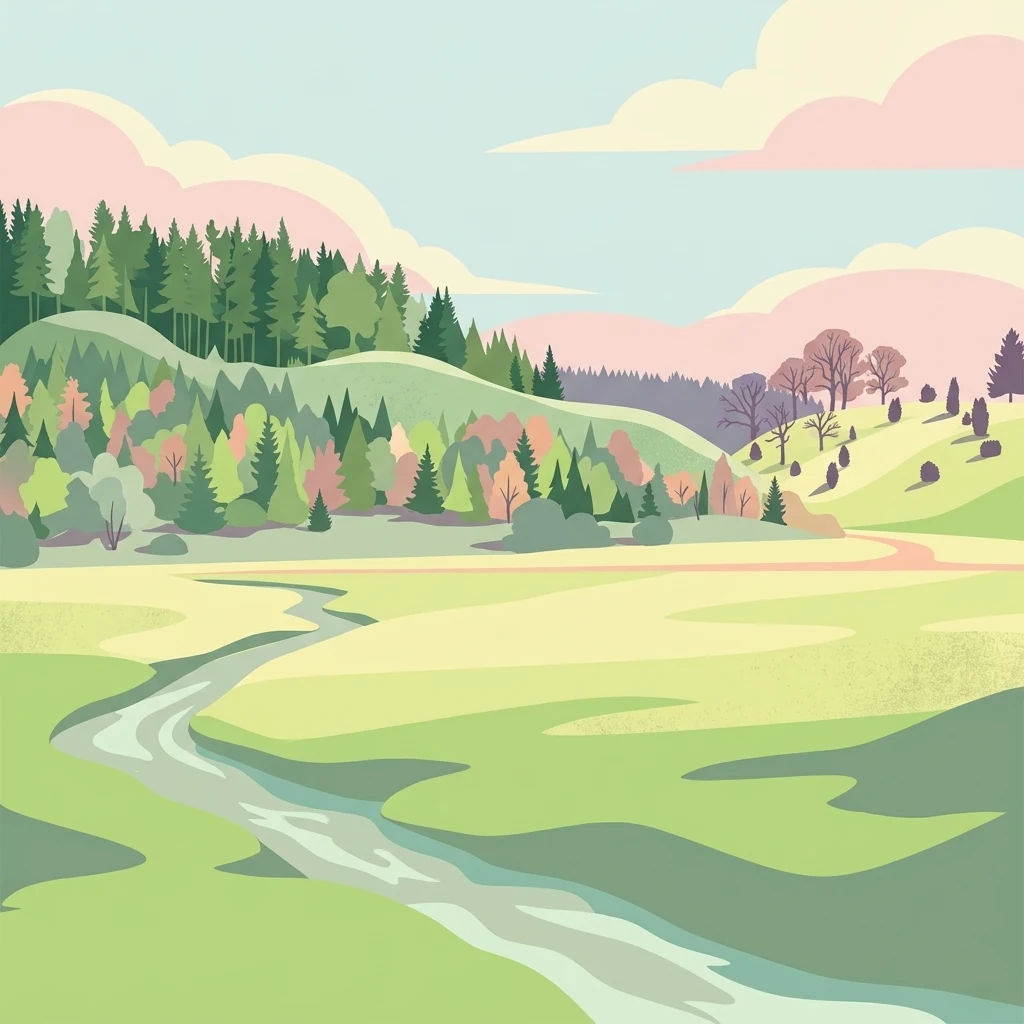
A digital illustration of a peaceful valley with a winding stream, lush green meadows, forested hills, and soft pastel clouds in the sky.

A Natura 2000 valley landscape on the Swabian Alb protecting juniper heaths, dry grasslands, and beech forests.

Hungerbrunnen, Sacken and Lonetal

Hungerbrunnen, Sacken and Lonetal is a small protected area on the eastern Swabian Alb in Baden-Württemberg, Germany. Designated under the European Union Habitats Directive as a Fauna-Flora-Habitat (FFH) site, it covers a deeply incised section of the Lone river valley with its tributaries and side valleys between Gussenstadt and Heuchlingen. The site is notable for its mix of intermittently dry, meandering stream courses, juniper heaths, fragments of steppe-like grassland, species-rich beech forest on the higher slopes, limestone rocky outcrops, scree slopes, and two small caves. It exemplifies the typical, often arid, karst-influenced valley landscapes that characterize this part of the Swabian Alb and hosts habitats with high conservation value at the European level. Although modest in area, the protection site is an important component of the broader Natura 2000 network in Baden-Württemberg, complementing adjacent FFH areas such as the Kuppenalb bei Laichingen und Lonetal and Härtsfeld. Its combination of dry grassland, juniper heaths, and calcareous beech forest makes it a representative example of the cultural and natural landscape mosaic of the Lone valley.

Location
Germany
Park type
Protected area
Established
2005
Area
9.2 km²
Hungerbrunnen-, Sacken- und Lonetal Protected Landscape

Sort Hungerbrunnen-, Sacken- und Lonetal records by depth and distance

Search earthquakes around Hungerbrunnen-, Sacken- und Lonetal

Hungerbrunnen-, Sacken- und Lonetal earthquake records use epicentres and distance from the Swabian Alb karst valleys, without asserting events inside the site. Catalogue time, magnitude, depth, locality, separation, and sources preserve historical context without assigning valley influence, attributing karst formation to the records, declaring geological causation, stating current threat, or forecasting activity.

Sort by
Magnitude
Location

This page describes catalogued earthquakes associated with the park by epicentre location and distance. It does not establish causation, assess current danger, or predict future earthquakes.

No earthquake records match the current filters

Park atlas

Continue from Hungerbrunnen-, Sacken- und Lonetal earthquake history

Find more parks after Hungerbrunnen-, Sacken- und Lonetal

After the earthquake records for Hungerbrunnen, Sacken and Lonetal, explore protected landscapes with distinct identities. These discovery routes are not presented as equivalents for Swabian Alb valleys or Natura 2000 heath and beech habitats, and they imply no shared conservation status, geography, geology, seismic documentation, hazard, or proximity.
Nature reserveBaden-Württemberg
5.3 km away#1 closest

Southeast

Donaumoos Nature Reserve: A Detailed Atlas of Wetland Geography in Baden-Württemberg

Mapped mire ecosystems and diverse protected landscapes.

Donaumoos spans 14 sub-areas throughout the Donau-Iller-Lech plateau, defining a landscape of wet meadows, tall herb fringes, and alluvial forests. This protected area offers a deep look into the hydrological identity and ecological connectivity of the upper Danube wetland network, serving as a critical habitat node within the broader German Natura 2000 protected-land framework.

Area
9.16 km²
Established
2019
A watercolor painting showing a soft, impressionistic landscape with green hills, forested ridgelines in the distance, and pink wildflowers in the foreground.
Protected landscapeBaden-Württemberg
About 5.7 km away#2 closest

South

Mittleres Lonetal Protected Landscape: Swabian Alb Geography and Mapping

A regional protected area within the Alb-Donau-Kreis district

Mittleres Lonetal represents a key protected landscape in Baden-Württemberg, following the linear path of the Lone valley. The area integrates diverse terrain, including broadleaf forest, juniper heaths, and moisture-rich meadow dales, offering a comprehensive look at the rural geography and conservation zoning typical of the Swabian Alb region.

Area
31.581 km²
Established
1989
IUCN
V
Faint watercolor illustration of rolling green hills and a pinkish foreground against a white background.
Protected areaBaden-Württemberg
7.3 km away#3 closest

Northwest

Albtrauf Donzdorf-Heubach: Protected Escarpments and Karst Terrain in the Swabian Alb

Natura 2000 protected area in eastern Baden-Württemberg

The Albtrauf Donzdorf-Heubach site comprises eight protected parcels along the Swabian Alb. Its geography is defined by steep limestone cliffs, dissected valleys, and extensive karst systems that support specialized biodiversity. This protected landscape highlights the complex interaction between Upper Jurassic geological formations and traditional land-use patterns across the Göppingen and Ostalbkreis districts.

Area
25.333 km²
Established
2019
Relief
Highland
Climate
Temperate
Protected landscapeAlb-Donau-Kreis
About 7.7 km away#4 closest

Southwest

Westerstetten Protected Landscape: Mapping the Swabian Alb Karst and Valley Terrain

Protected landscape geography within the Alb-Donau-Kreis region

The Westerstetten protected landscape preserves a layered mosaic of karst plateaus, juniper heath, and dry side valleys in the northern Swabian Alb. This region serves as a connective buffer for local ecosystems, featuring extensive woodland blocks and traditional field hedges that represent the historic character of the Alb-Donau-Kreis countryside.

Area
5.834 km²
Established
1998
IUCN
V
Relief
Upland
A horizontal watercolor painting showing rolling green meadows with small clusters of trees and soft hills in the background on a white background.
Protected areaBaden-Württemberg
7.8 km away#5 closest

North

Albuchwiesen: A Protected Landscape of Wetlands and Historical Grasslands on the Swabian Alb

Geographic atlas of the smallest Habitats Directive site in Baden-Württemberg

Albuchwiesen represents a critical refuge for wetland biodiversity outside the Brenz valley, characterized by its scattered parcels of calcareous dry grasslands and wet meadow systems. The area preserves essential remnants of historical land use on the Ostalb, including distinct clay-lined ponds and transitional mires that define this localized plateau terrain.

Area
51.1 km²
Established
2019
Protected landscapeBaden-Württemberg
About 14 km away#6 closest

West

Weigoldsberg Protected Landscape: Mapped Terrain in the Swabian Alb of Baden-Württemberg

A contiguous hill-landscape with integrated Natura 2000 ecological zones

Weigoldsberg functions as a coherent protected landscape unit within the Mittlere Kuppenalb, spanning the transition between upland terrain and the Fils valley. This area integrates near-natural forest, traditional meadow mosaics, and high-value ecological zones such as the Filsalb FFH and Mittlere Schwäbische Alb bird protection area. Gain insights into its relief, land use patterns, and conservation designation.

Area
2.16 km²
Established
1975
IUCN
V
Relief
Mountain
Protected landscapeBaden-Württemberg
About 14 km away#7 closest

Northeast

Weidmichele, Eichelesäcker und anschließender Talgrund Protected Landscape Atlas

Geographic analysis of Swabian Alb dry valley terrain

Examine the topographical profile of Weidmichele, Eichelesäcker und anschließender Talgrund. This landscape protection area showcases the classic karst dry valley form found in Baden-Württemberg, providing a vital, narrow grassland corridor between upland plateaus and the lower Brenz valley ecosystem.

Area
0.153 km²
Established
1978
IUCN
V
Protected landscapeBaden-Württemberg
About 16 km away#8 closest

North

Ur-Brenztal Protected Landscape: Geography and River Valley Mapping in Baden-Württemberg

Wetland meadow corridors and ancestral drainage relics

Ur-Brenztal stands as a vital protected landscape in the Landkreis Heidenheim, serving as a rare open grassland passage. The area preserves flat valley floors and low-energy stream channels that provide essential stepping stone habitats for migratory birds and meadow-nesting populations between regional high plateaus.

Area
0.69 km²
Established
2003
IUCN
V
Relief
Lowland
MoriAtlas Explorer

Explore the Mapped Landscapes of Hungerbrunnen-, Sacken- und Lonetal

Examine the detailed geographic boundaries and terrain features of this significant Swabian Alb protected area. MoriAtlas provides a clear view into the karst valley systems, limestone formations, and regional ecosystems that define the character of the Hungerbrunnen-, Sacken- und Lonetal protected landscape.