Climate profileNorway
Rago National Park
- Annual mean
- -1.4 °C
- Warmest month
- July
- Wettest month
- December

Detailed monthly patterns covering temperature, wind speed, humidity, and daylight duration.
Access long-term atmospheric patterns for Junkerdal National Park based on monthly measurements recorded from 1991 to 2020. These values represent climatological averages at a single coordinate within the park to provide a consistent comparison of temperature, precipitation, and light throughout the year. Please note that conditions may vary across the diverse terrain of the park due to elevation and local geographical factors.
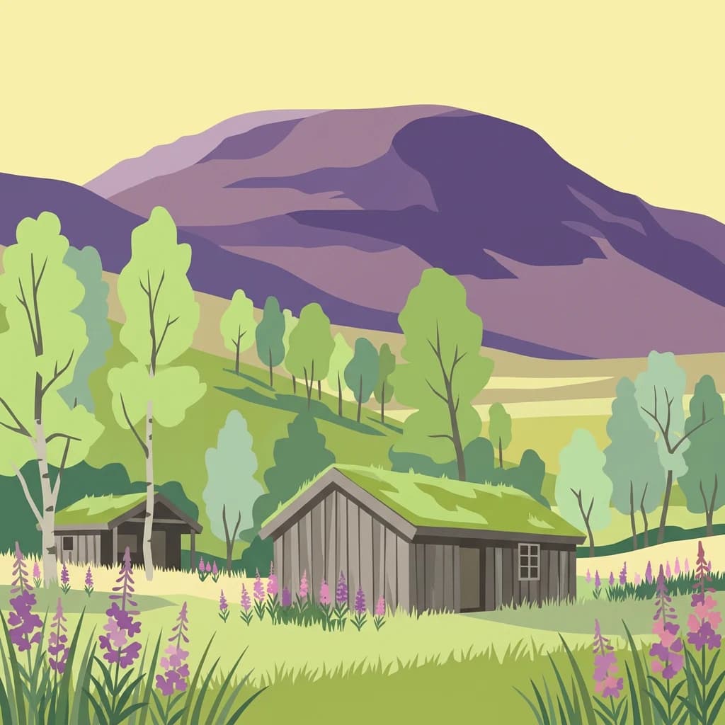
Analyzing the transition from cold alpine winters to mild summers alongside steady daily precipitation rates.
A multi-variable view of monthly temperature bounds, daily precipitation rates, and calculated daylight.
| Mean temperature | Precipitation | Humidity | Wind speed | Daylight | |
|---|---|---|---|---|---|
| January | -9.7 °C-22.6° to 0.6° | 4.5 mm/day | 95.7% | 5.5 m/s | 3.3 hours |
| February | -9.9 °C-22.6° to 0.2° | 4.2 mm/day | 95.2% | 5.3 m/s | 7.5 hours |
| March | -7.5 °C-20.3° to 0.8° | 4 mm/day | 94% | 4.9 m/s | 11.2 hours |
| April | -3.5 °C-15.3° to 2.2° | 3.1 mm/day | 91.7% | 4.1 m/s | 15.1 hours |
| May | 1.1 °C-7.8° to 9.9° | 3.2 mm/day | 89.2% | 3.7 m/s | 19.2 hours |
| June | 6.5 °C-1.6° to 16.2° | 4.1 mm/day | 85.8% | 3.4 m/s | 23.4 hours |
| July | 10.6 °C2.9° to 19.9° | 4.4 mm/day | 85.3% | 3.2 m/s | 20.9 hours |
| August | 9.4 °C1.6° to 18.9° | 3.9 mm/day | 87.3% | 3.3 m/s | 16.6 hours |
| September | 4.9 °C-3° to 14.1° | 4.3 mm/day | 91.7% | 3.9 m/s | 12.6 hours |
| October | -1.6 °C-12.2° to 6.5° | 4.2 mm/day | 95.5% | 4.1 m/s | 8.8 hours |
| November | -6.3 °C-17° to 1.9° | 3.9 mm/day | 96.3% | 4.5 m/s | 4.7 hours |
| December | -8.4 °C-19.9° to 0.9° | 4.6 mm/day | 96.6% | 5.1 m/s | 0.5 hours |
See two months side by side and how much they differ. Both use the same 1991–2020 climate normals and NASA POWER data point as the table above, so they show typical conditions, not a forecast.
Analyzing comparative monthly averages for temperature, wind, humidity, and daylight in Nordland
Interactive climate map
Open the climate map to compare monthly temperature, precipitation, and other averages.
Examine monthly weather patterns, temperature rhythms, and precipitation across diverse regional park systems

Deepen your understanding of Junkerdal National Park by continuing your exploration of its specific protected landscape, its unique botanical significance, and its role within the broader regional geography of Nordland. MoriAtlas provides structured data to navigate this park's mapped terrain and discover its place in the Scandinavian atlas, offering factual context for its conservation value and geographic importance.