Mori Atlas logo
Park earthquake history

A detailed catalogue of historical epicentre records mapped by distance to forest boundaries

Recorded Seismic Activity and Earthquake History Near Kaibab National Forest, Arizona

Review a structured compilation of historical earthquake records associated by proximity to the Kaibab National Forest landscape. This collection organizes seismic events, including magnitude and depth data, to provide context for recorded activity across the forested plateaus and canyon margins. Use these records to analyze regional seismic trends within the surrounding geography of north central Arizona.

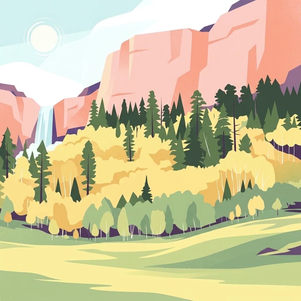
An illustration showing steep, light-colored rocky cliffs behind a forest of evergreen and yellow-leafed deciduous trees, with a small waterfall on the left and a green meadow in the foreground.

A vast national forest encircling both rims of the Grand Canyon in northern Arizona.

Kaibab National Forest

Kaibab National Forest is a large, federally administered national forest in north-central Arizona that borders both the North Rim and the South Rim of the Grand Canyon. Spanning roughly 1.6 million acres across three noncontiguous sections, it is one of the most distinctive forests in the American Southwest because the Grand Canyon itself physically separates its northern and southern portions. The forest rises from elevations of about 5,500 feet in the southwestern corner to over 10,000 feet at the summit of Kendrick Peak, producing dramatic shifts in vegetation from high-elevation conifers to pinyon and juniper woodlands. Its terrain includes the broad Kaibab Plateau, deeply cut tributary canyons of the Colorado River, and plateau rims overlooking the Grand Canyon. Managed by the United States Forest Service and headquartered in Williams, Arizona, Kaibab National Forest plays an important dual role as a working landscape and a conservation area. It hosts four designated wilderness areas, supports sizeable populations of elk and mule deer, and forms an essential forested buffer around Grand Canyon National Park.

Location
United States of America
Park type
Protected landscape
Established
1909
Area
6,500 km²
Highest point
3,175 m
Kaibab National Forest Protected Area

Navigate Kaibab National Forest records by place, depth, and distance

Examine historical earthquakes around Kaibab National Forest

Kaibab National Forest’s earthquake catalogue maps reported epicentres by calculated distance from its northern Arizona boundary, separating the records from the Kaibab Plateau, ponderosa forest, and Grand Canyon rims. Dates, magnitudes, depths, localities, sources, and forest distances support historical comparison without attributing landscape effects, current hazard, or future activity.

Sort by
Magnitude
Location

This page describes catalogued earthquakes associated with the park by epicentre location and distance. It does not establish causation, assess current danger, or predict future earthquakes.

No earthquake records match the current filters

Park atlas

Expand beyond Kaibab National Forest historical earthquake data

Browse further protected parks after Kaibab National Forest

Kaibab National Forest's earthquake evidence gives way to wider park discovery beyond its north-central Arizona plateau, ponderosa pine, and Grand Canyon region context. The following pages do not imply shared national-forest status, woodland, proximity, geology, seismic records, hazards, risk, regional identity, or comparable documentation.
National parkArizona
Park boundaries overlap#1 closest

South

Grand Canyon National Park: Arizona National Park Protected Landscape & Geography

Explore mapped boundaries and regional atlas context.

Grand Canyon National Park stands as a premier national park, showcasing a unique protected landscape within Arizona's diverse geography. This detailed entry focuses on the park's specific geographic identity, its mapped boundaries, and its significance within the regional atlas. Discover the contours of this protected area and its place in the natural terrain of the American Southwest.

Area
4,926.08 km²
Established
1919
IUCN
II
Visitors
4.9M annual
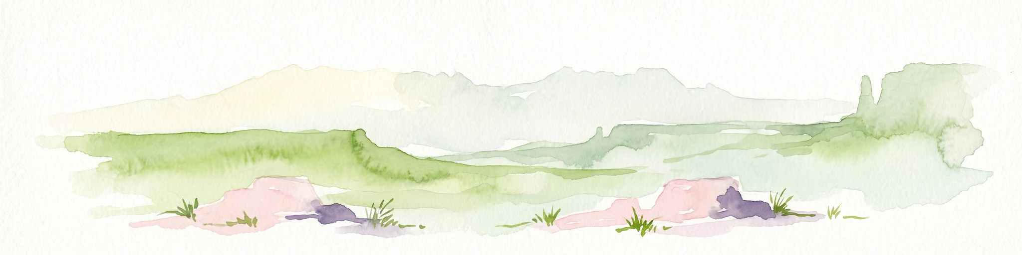
A minimalist watercolor painting depicting a pale desert landscape with soft green hills and light reddish rock formations against a white background.
Wildlife reserveArizona
Park boundaries overlap#2 closest

Northwest

Kanab Creek Wilderness: Protected Canyon Landscapes and Geography of Northern Arizona

Extensive tributary canyon systems and plateau terrain

Kanab Creek Wilderness represents a vast protected area in northern Arizona, defined by deep gorges and vertical cliffs etched into the Kanab and Kaibab Plateaus. This geographic atlas entry provides insights into the canyon network that feeds the Colorado River, highlighting the extreme elevation gradients and archaeological significance of this rugged wilderness.

Area
305 km²
Established
1984
IUCN
Ib
Relief
Upland
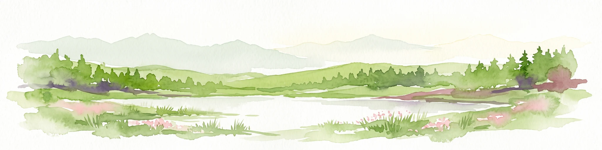
Watercolor painting of a calm lake surrounded by green forests and distant mountain ridges.
Protected areaArizona
Park boundaries overlap#3 closest

South

Prescott National Forest: Geographic Overview of Arizona Protected Landscapes and Wilderness

Regional geography and protected terrain map of the Bradshaw Mountains

Spanning over one million acres, Prescott National Forest represents a defining outdoor landscape in Arizona. The terrain transitions from high desert chaparral to dense ponderosa pine forests, featuring eight distinct wilderness areas, rugged canyon systems, and essential watershed corridors that shape the regional ecology near Prescott.

Area
5,100 km²
Established
1908
Relief
Mountain
Climate
Temperate
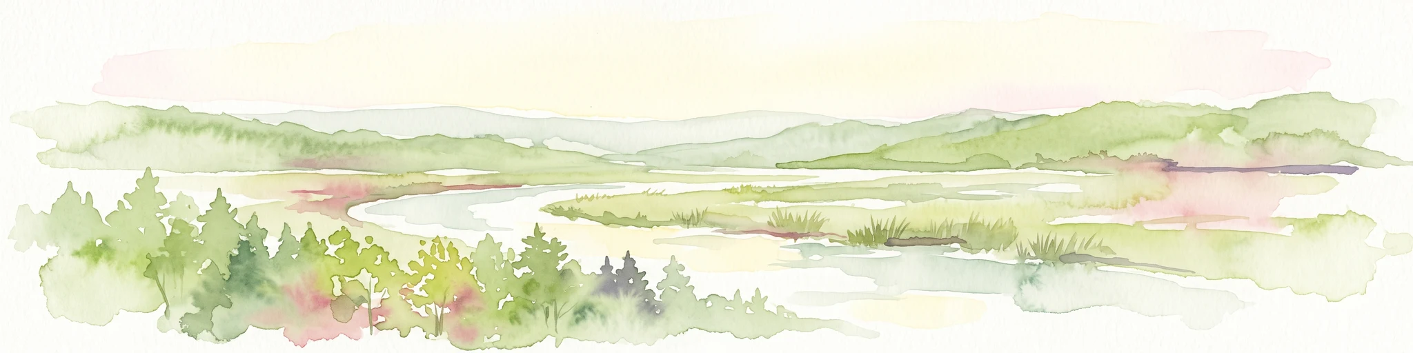
A watercolor painting showing a winding river flowing through a forested valley with gentle hills in the background.
Wildlife reserveArizona
5 km away#4 closest

South

Red Rock-Secret Mountain Wilderness: A Geographic Overview of Arizona Protected Lands

Canyon landscapes and high mesa terrain in Arizona

Red Rock-Secret Mountain Wilderness serves as a significant protected block near Sedona, featuring a complex network of slot canyons, natural arches, and sandstone pinnacles. This wilderness area preserves the ecological transition from the high-elevation forested rim down into warmer, arid canyon bottoms, offering a deep look at the geology of the Colorado Plateau edge.

Area
191 km²
Established
1984
IUCN
Ib
Relief
Mountain
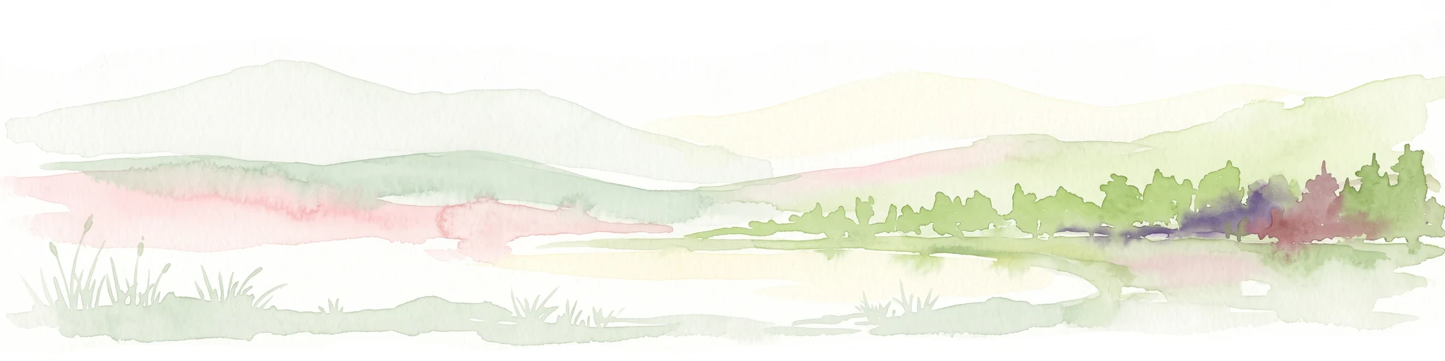
A horizontal watercolor illustration showing rolling green hills and a treeline against a pale sky.
Wildlife reserveArizona
11 km away#5 closest

South

Kachina Peaks Wilderness; Geography and Protected Landscape Atlas of Arizona

High-altitude volcanic terrain and alpine ecosystems

Kachina Peaks Wilderness is a protected area in northern Arizona centered on the San Francisco Peaks. This geography includes the state's highest elevation at Humphreys Peak and a rare volcanic caldera known as the Inner Basin. The terrain transitions from dense mountain forests into an Arctic-Alpine zone, offering a distinct landscape for analyzing mountain evolution and high-elevation ecological patterns.

Area
75 km²
Established
1984
IUCN
Ib
Relief
Mountain
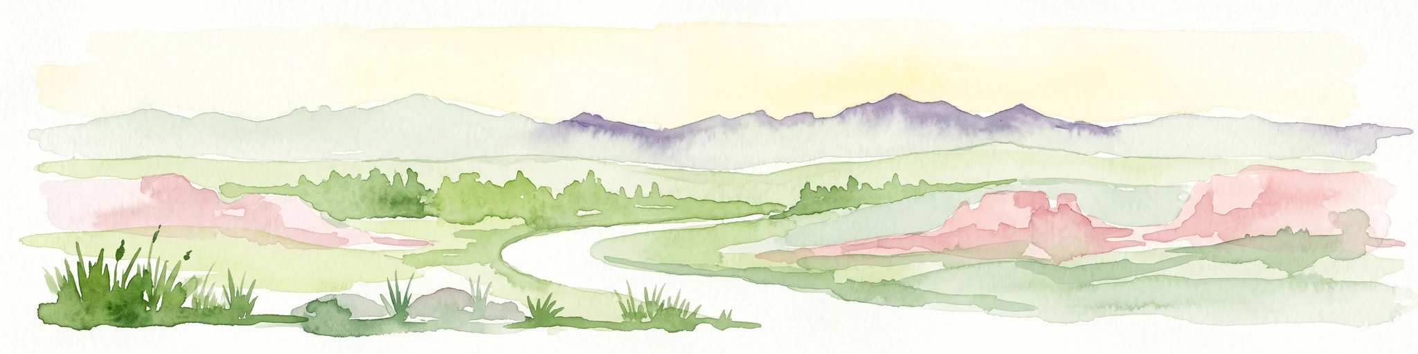
A horizontal watercolor illustration depicting a desert landscape with distant purple mountain peaks, rolling green hills, and a winding path, rendered in soft, light colors.
Wildlife reserveArizona
27 km away#6 closest

South

Munds Mountain Wilderness Protected Area and Red Rock Landscape Mapping

Arizona high-desert wilderness and canyon-edge geography

Located southeast of Sedona, Munds Mountain Wilderness encompasses roughly 18,150 acres of dramatic sandstone cliffs and elevated plateaus. This area serves as a key site for observing the convergence of pinyon-juniper woodlands with iconic desert rock formations, providing a clear window into the rugged topography of central Arizona.

Area
73.45 km²
Established
1984
IUCN
Ib
Relief
Mountain
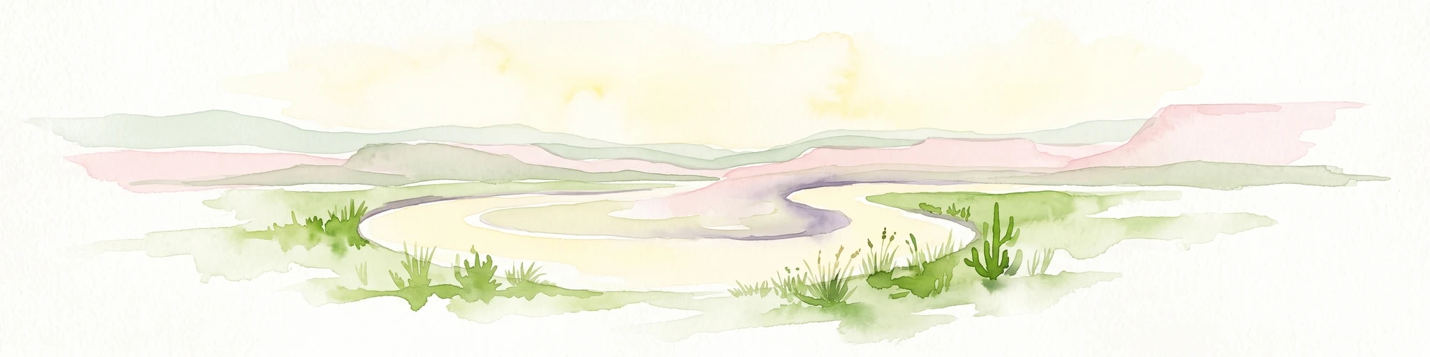
A horizontal watercolor painting showing a soft-focus landscape with a pale river winding through desert terrain under a hazy sky, with stylized cacti in the foreground.
Protected landscapeUnited States of America
35 km away#7 closest

Northeast

Glen Canyon National Recreation Area: Protected Landscape and High Desert Geography Map

Colorado Plateau canyons, sandstone strata, and reservoir environments

Explore the geological architecture of Glen Canyon National Recreation Area, a vast federal protected landscape. The area showcases towering Navajo Sandstone cliffs, deep blue reservoir arms, and remote backcountry canyons that exemplify the distinct high desert terrain of the Colorado Plateau in the United States.

Area
5,075.23 km²
Established
1972
Visitors
5.2M annual
Relief
Upland
National parkUtah
38 km away#8 closest

Northwest

Zion National Park National Park: Detailed Mapped Geography and Protected Landscape Identity

Explore the mapped terrain and regional context of this Utah national park.

Zion National Park represents a key protected area within Utah, ideal for detailed geographic exploration. This canonical page offers insights into the park's specific mapped boundaries, its inherent landscape character, and its regional geographic setting. It is designed for users seeking to understand the atlas-level significance of Zion National Park as a national park entity, focusing on its protected terrain and natural geography.

Area
593.26 km²
Established
1919
IUCN
II
Visitors
4.9M annual
MoriAtlas Explorer

Analyze the Mapped Terrain and Protected Boundaries of Kaibab National Forest

Examine the diverse high-country environment of Kaibab National Forest, where dramatic elevation shifts and canyon-rim geography create a unique ecological mosaic. MoriAtlas provides the tools to trace the forest's divided landscape across Arizona, offering a comprehensive perspective on its wilderness areas, volcanic peaks, and plateau-based topography.