
Mori Atlas logo
Park guides

Focused resource index for seasonal planning and regional landscape navigation

Complete Collection of Available Guides for Kejimkujik National Park in Nova Scotia

Access the current collection of focused guides for Kejimkujik National Park, Canada's unique dual-status national park and historic site in Nova Scotia. These resources cover seasonal planning, paddling logistics, and the natural heritage of the Acadian forest and coastal landscapes.

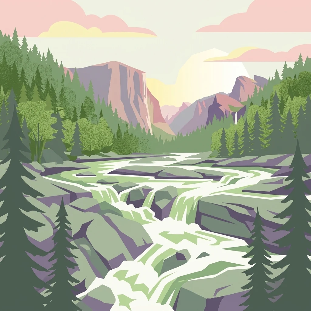
Stylized illustration of a river flowing through a forested mountain valley with rocky outcrops and coniferous trees under a pastel sky

Canada's only dual-designation national park and national historic site protecting Mi'kmaq cultural landscape and Acadian forest wilderness

Kejimkujik National Park

Kejimkujik National Park and National Historic Site represents a remarkable convergence of natural and cultural heritage in southwestern Nova Scotia. The park's dual designation reflects its extraordinary significance as both a protected natural landscape and a living testament to Mi'kmaq presence spanning millennia. The inland portion, which shares boundaries with the national historic site, protects a vast forested upland plain situated between Nova Scotia's South Shore and Annapolis Valley regions. This landscape has been a critical travel corridor and resource harvesting territory for the Mi'kmaq, who used the Mersey River and associated waterways as major transportation routes connecting the Bay of Fundy to the Atlantic coast. Beyond its ecological and cultural significance, the park is notable for its inclusion within the UNESCO Southwest Nova Biosphere Reserve, recognizing its outstanding biodiversity value in partnership with the adjoining Tobeatic Wilderness Area. The park's coastal component, Kejimkujik Seaside, added in 1988, ensures representation of mainland Nova Scotia's unique Atlantic coastal ecosystems within Canada's national parks system, protecting coastal barrens, bogs, barrier beaches, and lagoons.

Location
Canada
Park type
National park
Established
1967
Area
404 km²
Highest point
180 m
Kejimkujik National Park Atlas
MoriAtlas Explorer

Continue Exploring Kejimkujik National Park's Geographic and Protected Landscape Detail

Dive deeper into the specifics of Kejimkujik National Park for a comprehensive understanding of its protected landscape and geographic setting. Examining its mapped features and regional context on MoriAtlas allows for detailed analysis and appreciation of its natural terrain. Continue your exploration to grasp the full extent of this Nova Scotia national park's atlas significance.

Global natural geography