
A comprehensive index of landforms and water bodies across inland and coastal zones
Named Natural Features and Geographic Landmarks of Kejimkujik National Park in Nova Scotia
This collection maps the named natural features associated with Kejimkujik National Park, ranging from vast freshwater lakes and river systems to coastal barrens and rare Acadian forest tracts. The geographic data provides context for the varied terrain found within the inland historic site and the Atlantic coastal wilderness. Users can browse specific landmarks that define the regional landscape, reflecting the glacial history and ecological diversity of this unique protected territory in southwestern Nova Scotia.
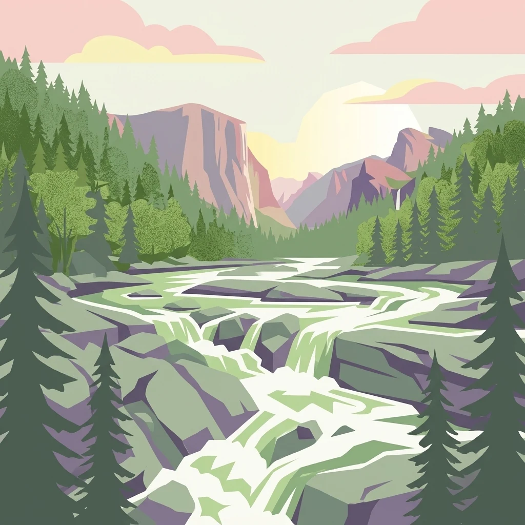
Navigating the glacial drumlins, freshwater lakes, and coastal lagoons of southwestern Nova Scotia
Named Natural Features and Geographic Landmarks of Kejimkujik National Park
Mapped inland water bodies and park terrain
Lakes
Examine the specific lakes distributed throughout Kejimkujik National Park. This structured collection provides spatial context for the park's inland basins, tracing how these water bodies interact with the local topography, ancient canoe routes, and the surrounding wilderness of southwestern Nova Scotia.
Geographic atlas of protected watercourse networks
Rivers
Examine the mapped rivers associated with Kejimkujik National Park. This resource provides a focused geographic look at the watercourses influencing the inland and coastal landscapes of this Nova Scotia protected area, helping identify the flow patterns and drainage structures across the region.
Continue Exploring Kejimkujik National Park's Geographic and Protected Landscape Detail
Dive deeper into the specifics of Kejimkujik National Park for a comprehensive understanding of its protected landscape and geographic setting. Examining its mapped features and regional context on MoriAtlas allows for detailed analysis and appreciation of its natural terrain. Continue your exploration to grasp the full extent of this Nova Scotia national park's atlas significance.