
A comprehensive index of marine channels, coastal formations, and underwater habitats.
Natural Features and Geomorphic Landscapes of Kosterhavet National Park
Navigate the distinct geomorphic elements within Kosterhavet National Park. This collection chronicles the diverse natural formations defining this marine protected area, from the profound depths of the Kosterfjord channel to the granite skerries of the archipelago. Each entry provides geographic context for the underwater basins, coastal ridges, and saline habitats shaping Sweden's first marine national park.
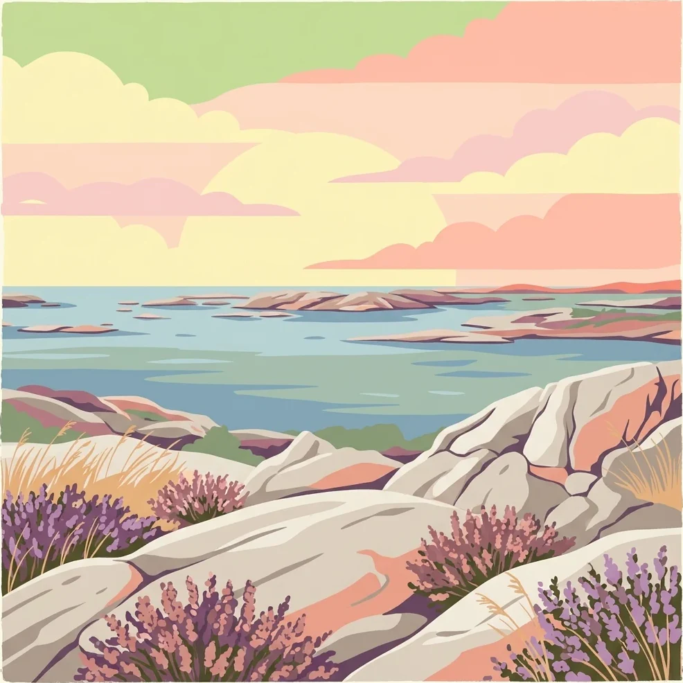
Mapping the diverse archipelago islands, deep trenches, and coastal reefs of the Skagerrak.
Geographic Landmarks and Underwater Topography of Kosterhavet National Park
Maritime archipelago terrain and island distribution
Islands
Browse the collection of island features situated across the marine landscape of Kosterhavet National Park. This resource details the geographic scope and spatial positioning of these rocky outcrops, providing clarity on their role within the broader Skagerrak archipelago and marine basin.
Kosterhavet archipelago bay geography
Bays
Browse named bay records connected with Kosterhavet National Park and place sheltered waters within Sweden's first marine national park. The collection relates bays to granite shores, islands, skerries, coves, and deep channels without guessing depth, salinity, anchorage, landing rights, ecological condition, or complete boundary coverage.
Exploration of narrow natural waterways in Sweden
Straits
Kosterhavet National Park hosts diverse marine channels that connect larger water bodies across its archipelago landscape. This collection maps the strait features within the park, providing insights into the hydrographic connections and maritime terrain that define this Scandinavian marine conservation area.
Continue Mapping Kosterhavet National Park's Protected Marine Geography
Deepen your understanding of Kosterhavet National Park by exploring its detailed geographic features and protected area boundaries. This marine national park offers a unique opportunity to study a vital Scandinavian ecosystem, characterized by its cold-water coral formations and significant marine biodiversity. MoriAtlas provides the tools to visualize this protected landscape and its place within the broader context of Västra Götaland County's coastal geography, inviting further atlas-driven discovery.