
Mapping the savanna-forest mosaic, river valley terrain, and highland massifs
Named Natural Features and Geological Landscapes of Lopé National Park, Gabon
Explore the diverse natural features that define the geographic character of Lopé National Park. This collection documents named landforms, riverine systems, and forest-savanna boundaries associated with the Ogooué River Valley and the Chaillu Massif. These records trace the transition between ancient crystalline highlands and open grasslands, offering a comprehensive view of the landscape features found throughout this central African protected area.
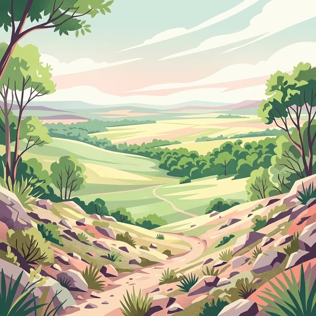
Read Lopé National Park through forest, grassland, rivers, and hills
Forest, grassland, river, hill, and mountain records in Lopé National Park
Regional water network and park terrain distribution.
Rivers
Access a structured collection of named rivers and watercourse segments that traverse or border Lopé National Park. This resource highlights the geographic significance of these waterways in the Ogooué River Valley and their role in shaping the park's unique mosaic of savanna and tropical forest environments.
Lopé National Park
Explore the map, landscapes, and protection details for Lopé National Park.