Mori Atlas logo
Park earthquake history

Review documented earthquake data, event magnitudes, and epicentre distances for this protected landscape

Historical Catalogue of Seismic Events Recorded Near the Mehlinger Heide Nature Reserve

This historical record documents seismic events captured by monitoring networks and associated by distance with the Mehlinger Heide nature reserve in Rhineland-Palatinate. The collection provides researchers and interested visitors with a transparent view into regional tectonic history, including event dates, depths, and calculated proximity to the protected heathland. Each entry reflects data from established geological surveys, allowing for a structured review of seismic activity recorded around this significant inland heath habitat.

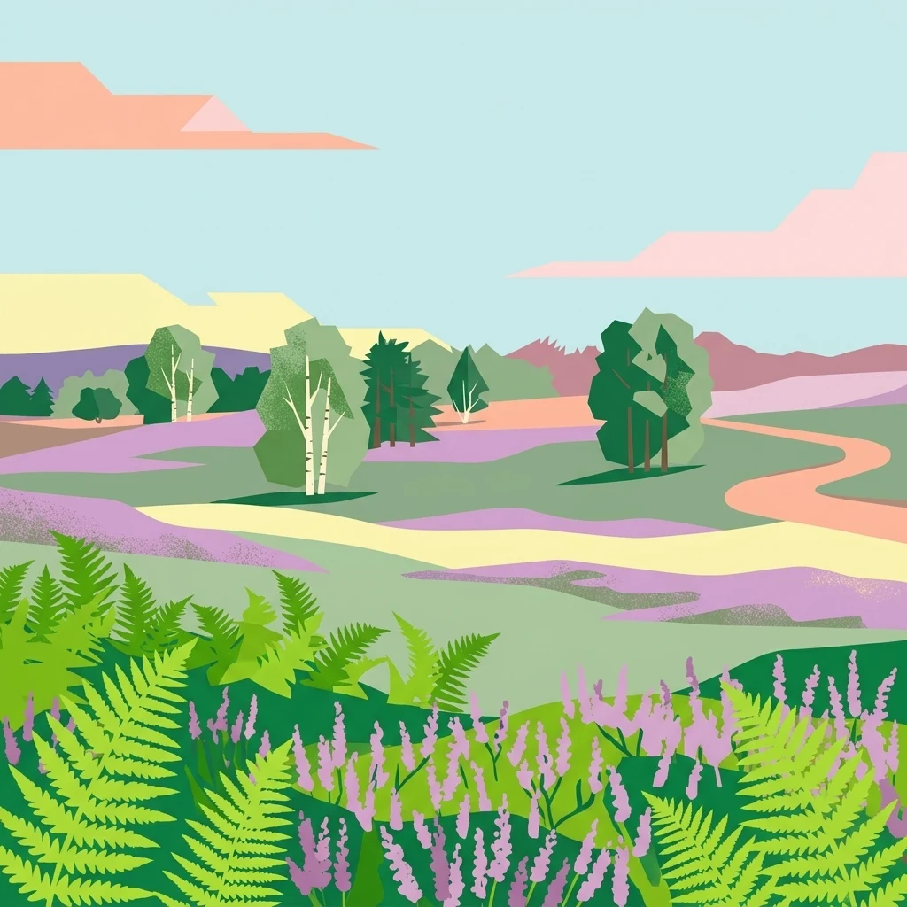
A digital illustration of the Mehlinger Heide landscape, featuring rolling hills of heathland, ferns in the foreground, scattered birch and pine trees, and a winding path under a pale blue sky.

Southern Germany's largest heathland, shaped by history, military training grounds, and conservation.

Mehlinger Heide

Mehlinger Heide is the largest heathland in southern Germany, located near the community of Mehlingen in the Palatinate region of Rhineland-Palatinate. Today it is a protected nature reserve (Naturschutzgebiet) covering roughly 400 hectares of former forest that was repeatedly altered through historical land use and, more significantly, by decades of military training activity. The site lies within the broader area around Kaiserslautern, near the former French and U.S. military installations that shaped the local landscape during the twentieth century. What sets the area apart is its unusual combination of open sandy ground, low shrub heath, dry grassland, and scattered forest patches, forming a habitat mosaic that is rare south of the classic North German heath regions. The reserve is recognised for protecting plant communities of dwarf shrubs and bent-grass turf, along with sandy pioneer habitats, and serves as a breeding area for ground-nesting birds and a refuge for specialised insects. Its protected status, combined with restricted public access on marked trails, reflects the dual heritage of ecological recovery and residual military risk from unexploded munitions. The reserve also functions as one of the accessible protected nature areas in the Landkreis Kaiserslautern and is closely tied to regional conservation efforts in Rhineland-Palatinate. Its origin story, transitioning from woodland to heath under military pressure and now to formal protection, makes it a particularly distinctive example of how European conservation can arise from unexpected land-use histories.

Location
Germany
Park type
Nature reserve
Established
2001
Area
4 km²
Mehlinger Heide Nature Reserve Atlas

Compare Mehlinger Heide events by date, depth, and distance

Explore historical earthquake records associated with Mehlinger Heide

Review earthquake records around Naturschutzgebiet Mehlinger Heide, a 3.99 km² terrestrial upland reserve in Germany with minor waters; Events enter the search through epicentral location and calculated separation, with date, magnitude, depth, locality, and citation retained. Proximity neither moves them into the reserve nor supports conclusions about its heath and grassland, damage, present hazard, or forecasts.

Sort by
Magnitude
Location

This page describes catalogued earthquakes associated with the park by epicentre location and distance. It does not establish causation, assess current danger, or predict future earthquakes.

No earthquake records match the current filters

Park atlas

Continue outward from Mehlinger Heide into protected-place discovery

Find other parks after the Mehlinger Heide catalogue

Mehlinger Heide’s historical earthquake catalogue concludes before this separate set of park destinations appears. The onward pages are not evidence of shared designation, landscape, geography, geology, closeness, earthquake coverage, seismic qualities, hazards, risk, or equivalent sourcing; they provide a new direction through the atlas.
Nature reserveRheinland-Pfalz
7.1 km away#1 closest

Southwest

Naturschutzgebiet Vogelwoog-Schmalzwoog: An Urban-Edge Wetland and Forest Mosaic in Germany

Protected nature reserve in the Rheinland-Pfalz region.

Naturschutzgebiet Vogelwoog-Schmalzwoog represents a significant micro-landscape characterized by the Vogelwoog lake and surrounding peat bogs. This protected area contains a dense concentration of ecosystems ranging from wet meadows to sand grasslands, showcasing the importance of small-scale conservation within the Hammerbach valley. Access map-driven details on the varied terrain that defines this unique Rhineland-Palatinate nature reserve.

Area
0.22 km²
Established
1996
Relief
Lowland
Climate
Temperate
A soft watercolor painting depicting a rolling landscape with fields, a small forest edge, and a mountain peak in the background.
Protected areaRhineland-Palatinate
8.5 km away#2 closest

North

Donnersberg Protected Area: A Geographic Atlas of the Palatinate Region's Highest Massif

Geological landscapes, Celtic heritage sites, and forested mountain terrain.

The Donnersberg massif represents a critical point of geographic and archaeological interest in Rhineland-Palatinate. This protected area encompasses a 24-square-kilometer rhyolite cryptodome featuring high-altitude plateaus, a complex network of forest ecosystems, and well-preserved remnants of ancient Celtic fortifications. Its steep slopes and diverse rock formations offer a clear look at the geological and historical layering of the German landscape.

Area
24 km²
Relief
Mountain
Climate
Temperate
Access
Easy access
Nature reserveRhineland-Palatinate
11 km away#3 closest

West

Westricher Moorniederung Nature Reserve: Protected Wetland and Moorland Atlas

Mapping low-lying basin landscapes and riparian corridors in the German Palatinate.

Spanning 40 kilometers between the Bliesaue and Kaiserslautern, the Westricher Moorniederung protects an intricate network of bogs, marsh zones, and alluvial forests. This lowland basin acts as a vital ecological link within Rhineland-Palatinate, defined by its drainage systems and diverse mire habitats. Gain insight into the regional geography and protected land boundaries that define this significant wetland system.

Area
21.52 km²
Established
1998
IUCN
IV
Nature reserveDonnersbergkreis
About 12 km away#4 closest

North

Beutelfels Nature Reserve: Geographic Insights and Protected Landscape Mapping

A diverse forested landmark in the Donnersbergkreis district

Located in the Falkensteiner Berge range, Beutelfels represents a significant protected area within the German landscape. The reserve showcases a dense integration of maple-linden forests and open rocky outcrops, preserved as a dedicated forest reference plot. Discover the unique topography and ecological zoning that define this essential 59-hectare segment of the Nordpfälzer Bergland.

Area
0.59 km²
Established
1981
Relief
Mountain
Climate
Temperate
Nature reserveRheinland-Pfalz
About 14 km away#5 closest

Southwest

Täler und Verlandungszone am Gelterswoog: Nature Reserve and Wetland Geography

A mosaic of lakes, mires, and stream valleys in Rheinland-Pfalz

Located in the Palatinate Forest, this protected nature reserve centers on the western shores of the Gelterswoog lake. It conserves a rare assembly of habitats including peat-forming moorland, reeds, and narrow forested valleys that provide essential breeding grounds for protected dragonfly species.

Area
0.554 km²
Established
1997
Nature reserveRheinland-Pfalz
About 15 km away#6 closest

Northeast

Spendel-Wildenstein Nature Reserve: Protected Forest Boundaries and Regional Geography

Deciduous forest reference area in the Donnersbergkreis district

Discover the geographic and ecological structure of Spendel-Wildenstein, a 145-hectare protected forest area in Germany. This nature reserve serves as a crucial natural forest reference site, known for its layered woodland communities, including rare Montpellier maple-oak and maple-ash stands situated along the Wildensteiner Bach stream valley.

Area
1.45 km²
Established
1981
Watercolor painting of a rolling landscape with green fields, forested hills in the distance, and soft hazy lighting.
Nature reserveRheinland-Pfalz
About 15 km away#7 closest

Southeast

Drachenfels Nature Reserve: Geography and Protected Landscapes of the Palatinate Forest

A sandstone summit and protected ecosystem in Rheinland-Pfalz

The Drachenfels massif is a classic blocky sandstone summit located in the Palatinate Forest, characterized by its 13-hectare protected summit plateau and weathered rock outcrops. This area provides a look into the region's complex sedimentary history, where Bunter sandstone cliffs meet dense forest slopes. The site serves as a distinct landmark within the broader landscape of the Middle Palatinate Forest, showcasing geological features and natural terrain patterns that define the local environment.

Area
0.125 km²
Established
1972
Relief
Mountain
Climate
Temperate
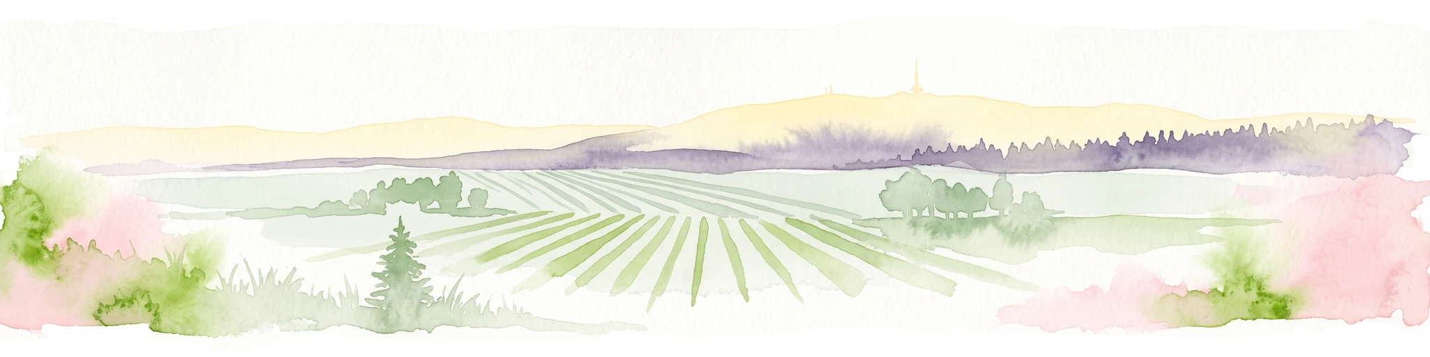
A soft, light watercolor painting of a rolling rural landscape featuring rows of vineyards in the foreground and tree-covered hills in the distance.
Nature reserveRheinland-Pfalz
16 km away#8 closest

East

Haardtrand Nature Reserve: Geographic Overview and Protected Landscape Mapping

Bird protection area within the Rheinland-Pfalz region.

Spanning roughly 14,700 hectares, Haardtrand serves as a critical link between the Palatinate Forest and the Rhine valley. This nature reserve is composed of a distinctive mosaic of habitat types, including mature broadleaf woodlands, traditional orchard meadows, and sandy terraces, which together create a highly structured environment for diverse raptors and forest-dwelling bird species.

Area
147.28 km²
Established
2004
MoriAtlas Explorer

Examine the Protected Geography and Mapped Heathland of Mehlinger Heide

Continue your geographic exploration of Rhineland-Palatinate by delving into the habitat structure and protected boundaries of Mehlinger Heide. Through the MoriAtlas collection, gain insight into this unique inland heathland, its conservation status, and its place within the broader German landscape.

Global natural geography