
Trace the geological diversity and landforms shaping this transboundary mountain protected area.
Named Natural Features and Geographic Landscapes of Montesinho Natural Park in Portugal
Discover the complex landscape of Montesinho Natural Park through its collection of named natural features, including prominent granite outcrops, shale-carved valleys, and high-altitude plateaus. This repository tracks the geographic identity of landforms, watercourses, and ecological sites associated with the protected landscape. Users can examine how these features define the terrain across the Serra da Coroa and interact with the traditional rural surroundings of the Bragança District.
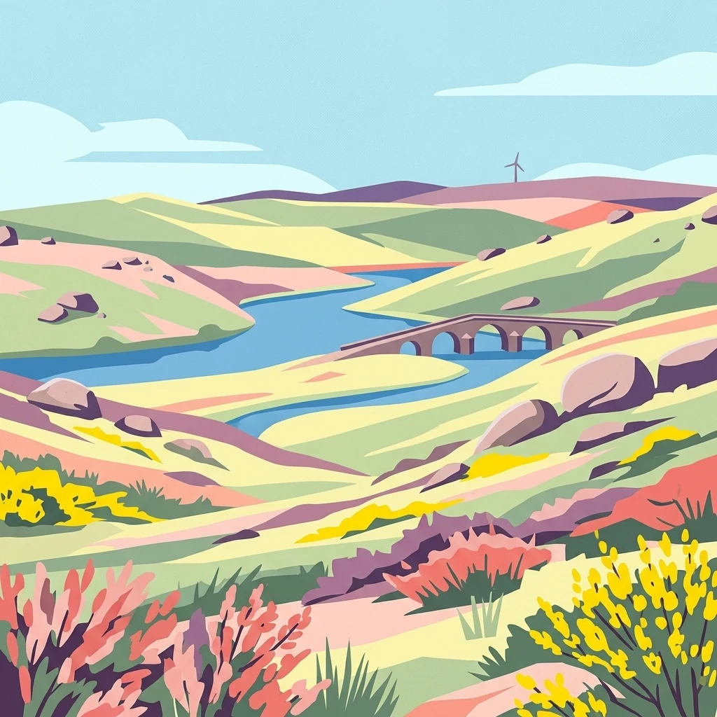
Map the granite summits, shale valleys, and complex geological terrain of this transboundary landscape.
Geographic Features and Mountain Landscapes of Montesinho Natural Park
Mapped watercourses within the protected landscape
Rivers
Review the river systems and key watercourses associated with the geography of Montesinho Natural Park. This atlas view offers a focused perspective on the channels that define the valleys and drainage basins across the mountainous terrain of this Portuguese protected landscape.
Hydrological features of a Portuguese protected landscape
Streams
Investigate the specific stream channels identified within the boundaries of Montesinho Natural Park. These features delineate the local mountain valleys, offering a clear view of the hydrological terrain and the natural drainage patterns characteristic of this northeastern Portuguese protected area.
Topographic map of summits and elevated landmarks
Peaks
Navigate the collection of named peaks and prominent summits situated across the diverse terrain of Montesinho Natural Park. This structured index provides geographic details on high-altitude landmarks, mapping their relationship to the park's extensive granite and shale landscape for clear spatial context.
Montesinho upland rock geography
Rock formations
Explore named rock records connected with Montesinho Natural Park and place individual outcrops within a mountain landscape of granite, shale, occasional limestone, valleys, forests, and open heath. The collection does not guess mineral composition, geological age, dimensions, stability, climbing suitability, access rights, or exact protected-area coverage.
Mapping regional terrain through identified lookout points
Viewpoints
Montesinho Natural Park features several named viewpoint locations that act as geographic anchors for observing the surrounding mountain terrain, erosion-carved valleys, and traditional rural landscapes. These sites are essential for interpreting the diverse topography spanning from the Serra da Coroa peaks down to the plateau basins, providing a clear spatial context for the protected area.
Continue exploring Montesinho Natural Park's geographic and protected landscape context
Delve deeper into the atlas-driven discovery of Montesinho Natural Park. Understanding its precise geographic boundaries and protected landscape identity provides crucial context for exploring Portugal's natural areas. This MoriAtlas entry facilitates a structured approach to comprehending the park's place within its regional geography and the wider atlas of protected lands.