
Mapping the volcanic terrain, high-altitude lake clusters, and alpine forest patterns.
Named Natural Features, Volcanic Landscapes, and Geographic Landmarks of Mount Washington Wilderness
This geographic collection documents the diverse natural features found throughout the Mount Washington Wilderness, including its extensive basaltic lava flows and cinder cones. Discover the spatial distribution of volcanic landmarks, subalpine water bodies, and complex conifer forest transitions that define this central Cascade Range landscape. The data provides a detailed look at the physical geography, from the flanks of shield volcanoes to the diverse vegetation zones anchored within the wilderness boundary.
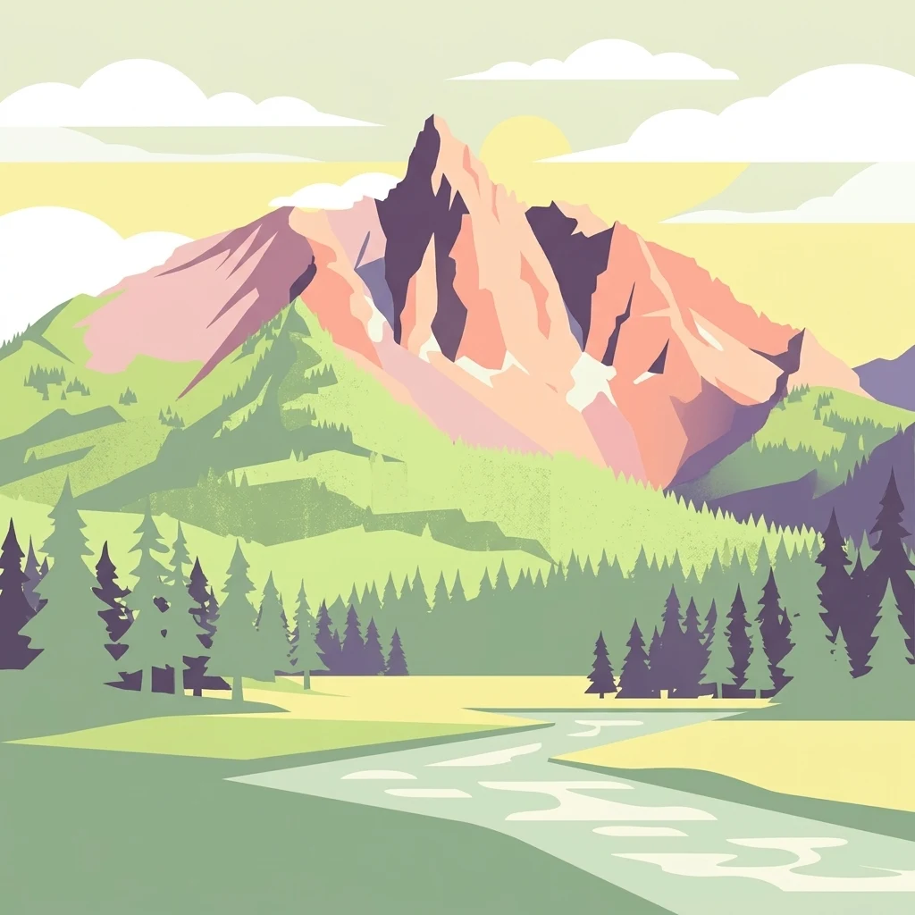
Trace Mount Washington Wilderness features through volcanic terrain, forest, and lakes
Volcanic mountain, forest, and lake records across Mount Washington Wilderness
Highland terrain and structural connectivity mapping
Mountain ranges
Focusing on the mountain range systems within Mount Washington Wilderness, this overview highlights the interconnected ridges, peaks, and plateau segments defining the local geography. The collection provides insight into the broader volcanic architecture of the central Cascade Range, mapping the physical layout of these highland features relative to lava fields and basin environments.
Continue Exploring the Volcanic Terrain of Mount Washington Wilderness
Trace the boundary lines, volcanic fields, and forest mosaics of Mount Washington Wilderness using our structured geographic datasets. Gain a deeper understanding of this Oregon protected area through detailed map perspectives and landscape analysis, providing a clear window into its unique place within the Cascade Range.