Mori Atlas logo
Nature reserveNettetal

A compact mosaic of dry grasslands, rock formations, and woodland corridors within the Nette river system.

Nettetal Nature Reserve: Mapping the Protected River Valley and Kerbtal Landscapes of Rhineland-Palatinate

(Naturschutzgebiet Nettetal)

Nettetal Nature Reserve represents a key protected landscape in Rhineland-Palatinate, defined by its steep-sided Kerbtal geography along the Nette river. This reserve compresses varied habitats, including rocky outcrops, dry grasslands, and moist riparian zones, into a concentrated area between Ochtendung and the A48 motorway. As part of both German and European conservation networks, the valley serves as a critical link for species-rich communities in the Middle Rhine region.

nature reservetributary valleydry grasslandsrock formationsmixed woodlandwetland zones

Nettetal

Nature reserve

Park overview

Structured park overview, official facts, and landscape profile for Nettetal Nature Reserve

Nettetal Nature Reserve park facts, protected area profile, and essential visitor context

Review the core facts for Nettetal Nature Reserve, including designation, size, terrain, visitor scale, habitats, and operating context in one park-focused overview.

About Nettetal Nature Reserve

Nettetal Nature Reserve lies in the eastern part of Rhineland-Palatinate, in the lower valley of the Nette river where it approaches its confluence with the Rhine. The reserve occupies a transitional zone between the volcanic landscapes of the Eifel and the broader Middle Rhine region, and its position southwest of Ochtendung places it within easy reach of towns such as Mayen, while retaining a notably rural character.

The defining identity of the area comes from its habitat diversity. In a compact setting, the valley combines species-rich dry grasslands on sunny slopes, rocky outcrops that add structural variety, mixed woodland on the valley sides, and wetter zones closer to the stream. This juxtaposition of dry and moist, open and shaded, rocky and forested environments has made the valley a focal point for conservation in the region.

Beyond its ecological value, Nettetal is appreciated for the visual character of a classic steep-sided valley, the kind of landform that the German term Kerbtal refers to. The combination of habitat richness and scenic landscape quality is the reason the area carries formal nature reserve status, and it is also recognised as part of the European Natura 2000 network for its contribution to habitat and species protection at a broader scale.

Quick facts and research context for Nettetal Nature Reserve

Nettetal Nature Reserve is located in the Landkreis Mayen-Koblenz in Rhineland-Palatinate, Germany, southwest of Ochtendung along the lower Nette river valley. The reserve covers approximately 705 hectares and spans parts of the city of Mayen together with the Verbandsgemeinden of Maifeld and Pellenz.

It was established by legal ordinance of the Bezirksregierung Koblenz on 10 January 1986 and is also designated as a Natura 2000 FFH site. Its protected habitats include dry grasslands, rock formations, woodlands, and wetland zones, and it is particularly noted for orchid, butterfly, and bird populations.

Protection and recognition

Documented terrestrial protection scope and official designation records

Nettetal Protection Status and Natura 2000 International Recognition

Nettetal features documented terrestrial protection status supported by official Natura 2000 recognition records. Conservation tracking details highlight the official designation framework and administrative management scope for the protected landscape.

International recognition

Protection details

Protection scope
Terrestrial
Park context

Deeper park guide and search-rich context for Nettetal Nature Reserve

Nettetal Nature Reserve history, landscape, wildlife, and travel context

Explore Nettetal Nature Reserve through its history, landscape character, ecosystems, wildlife, conservation priorities, cultural context, and seasonal travel timing in a structured park guide built for atlas discovery and search intent.

Why Nettetal Nature Reserve stands out

Nettetal is best known for the rich mosaic of habitats packed into a single steep-sided river valley. Within a relatively small area, dry grasslands, exposed rock faces, forest stands, and moist zones intersect along the Nette river. This concentration of contrasting environments supports a remarkably biodiverse community. Orchids flourish in the dry grassland sections, butterflies populate the open flowery areas, and the varied terrain provides habitat for a wide range of bird species. The scenic character of the valley itself, a classic Kerbtal with steep flanks rising above the watercourse, is also a defining feature of the reserve.

Nettetal Nature Reserve history and protected-area timeline

The Nettetal Nature Reserve was formally designated by the Bezirksregierung Koblenz through a legal ordinance dated 10 January 1986. Its establishment came as part of broader efforts in Rhineland-Palatinate to secure representative valley landscapes with high habitat diversity.

From the outset, the reserve's official purpose reflected both ecological and cultural motivations. Protection was granted to maintain dry grasslands, rock formations, woodlands, and wetland zones for their ecological communities, including rare and threatened species—particularly orchids, butterflies, and birds—and to preserve the area's value for scientific study and regional landscape identity. The particular scenic character of the Kerbtal was an explicit part of the rationale for protection.

In the years since its designation, the reserve has also been integrated into the Natura 2000 network as an FFH site, strengthening its role within European-scale habitat conservation.

Nettetal Nature Reserve landscape and geographic character

The landscape of Nettetal is shaped by the Nette river, a tributary of the Rhine, which has cut a narrow valley into the surrounding terrain. The result is a classic Kerbtal—a steep-sided valley with relatively narrow floors and prominent flanks—that gives the reserve much of its visual identity.

On the slopes and along the valley margins, exposed rock formations and dry grasslands dominate the sunnier ground. These open areas contrast with wooded sections on shadier slopes and along the upper margins. Closer to the river, the terrain flattens slightly and accommodates moister conditions, creating a band of wetter habitat that complements the drier upland zones.

The overall setting places Nettetal between the A48 motorway and the L98 state road southwest of Ochtendung, an arrangement that frames the valley as a protected corridor between transport corridors and surrounding agricultural land. The result is a compact, clearly defined natural landscape within an otherwise heavily used region.

Nettetal Nature Reserve ecosystems, habitats, and plant life

Ecologically, Nettetal functions as a compact habitat mosaic. Dry grasslands, limestone and rocky outcrops, mixed woodland, and areas of higher moisture each contribute distinct ecological conditions, and the proximity of these contrasting environments within a single valley is the foundation of the reserve's biodiversity.

The dry grasslands are particularly significant for plant communities, and the reserve is widely noted for its orchid populations. Open, sun-exposed flowery areas also support rich invertebrate assemblages. Rock formations provide specialised conditions for certain flora and nesting opportunities for birds. The woodland stands contribute structural diversity and offer habitat continuity between the open habitats and the valley margins.

The wetter zones near the Nette itself round out the ecological profile, ensuring that moisture-dependent species have a place within the reserve. Because all of these habitat types occur in close proximity, the area functions almost as a single integrated ecological system rather than a collection of separate reserves.

Nettetal Nature Reserve wildlife and species highlights

The wildlife profile of Nettetal reflects the diversity of the habitats the reserve protects. The combination of dry grasslands, rocky terrain, woodland, and wet zones supports a broad range of species groups, and the reserve is explicitly noted for three in particular: orchids, butterflies, and birds.

Butterflies benefit from the extensive flowery dry grasslands, where warm microclimates and abundant nectar sources create ideal conditions. Birds use the full structural range of the valley, from open slopes to rocky outcrops, woodland edges, and waterside vegetation, allowing the reserve to host both species associated with dry open ground and those that depend on woodland or wetter conditions.

While whales and large mammals are not part of this reserve's profile, the diversity of smaller fauna, pollinators, and birdlife is what gives Nettetal its ecological reputation at the regional level.

Nettetal Nature Reserve conservation status and protection priorities

From a conservation perspective, Nettetal is significant as a representative example of a diverse Middle Rhine tributary valley. Its protected status since 1986 was established specifically to secure rare and threatened plant and animal communities and the habitats on which they depend.

The reserve also forms part of the Natura 2000 network, designated as an FFH (Fauna-Flora-Habitat) site. This European-level designation links Nettetal into broader cross-border efforts to conserve habitat types and species of community interest, giving the valley a conservation role that extends well beyond its immediate regional context.

The combination of dry grasslands, rocky structures, woodland, and wet zones protected within a single reserve makes Nettetal a useful node in the ecological network of Rhineland-Palatinate and the Middle Rhine region. Its conservation value lies not just in individual species but in the continued functioning of the habitat mosaic as a whole.

Top sights and standout views in Nettetal Nature Reserve

One of the most compelling features of Nettetal is the way a single valley compresses very different habitat types into close proximity. Dry grassland specialists, woodland species, rock-dwelling flora, and wetland organisms all find conditions they need within the reserve's boundaries.

The valley's scenic quality as a steep-sided Kerbtal along the Nette river is another defining highlight, giving the reserve both ecological and aesthetic value. The official designation from 1986 also stands out for combining ecological, scientific, regional, and landscape-based reasons, reflecting the breadth of what the area represents.

Recognition as both a German Naturschutzgebiet and a Natura 2000 FFH site gives Nettetal a dual layer of conservation protection, connecting it to local and European networks at the same time.

Monthly climate preview

Long-term representative temperature and precipitation averages for Rhineland-Palatinate

Nettetal Climate Normals and Annual Weather by Month Profile

Nettetal maintains a recorded annual temperature and precipitation rhythm across twelve measured monthly intervals at a representative coordinate. Reviewing the complete meteorological profile reveals detailed monthly fluctuations in temperature ranges and precipitation rates.
Annual mean9 °C
0 °C19 °C
Jan
Feb
Mar
Apr
May13°
Jun16°
Jul19°
Aug18°
Sep14°
Oct
Nov
Dec
Warmest month
July

18.7 °C

Coolest month
January

0 °C

Wettest month
December

2.5 mm/day

Driest month
April

1.6 mm/day

Park location guide

Geography guide, regional context, and park location map for Nettetal Nature Reserve

Nettetal Nature Reserve park geography, regions, and map view in Germany

Understand where Nettetal Nature Reserve sits in Germany through a broader geographic reading of the surrounding landscape, nearby location context, and its mapped position within the national park landscape.

How Nettetal Nature Reserve fits into Germany

Germany is a federal republic in Western and Central Europe with a population of over 83 million across sixteen constituent states. It is Europe's largest economy by nominal GDP and a major global exporter and importer. The capital is Berlin, and the country borders Denmark, Poland, Czech Republic, Austria, Switzerland, France, Luxembourg, Belgium, and the Netherlands.

Wider geography shaping Nettetal Nature Reserve in Germany

Germany is located in Western and Central Europe, spanning 357,022 km². It borders Denmark to the north, Poland and the Czech Republic to the east, Austria and Switzerland to the south, and France, Luxembourg, Belgium, and the Netherlands to the west. The country has coastlines on the Baltic Sea and North Sea to the north, with the Alps located in the southern region.

Map view of Nettetal Nature Reserve

Use this park location map to pinpoint Nettetal Nature Reserve in Germany, understand its exact geographic position, and read its mapped placement within the surrounding landscape more clearly.

Pigeon | © OpenStreetMap contributors

Location context for Nettetal Nature Reserve

Rhineland-Palatinate
Recorded earthquake history

Review Recorded Earthquake History and Seismic Data for Nettetal Nature Reserve

Examine the historical record of seismic events associated by proximity with the Nettetal Nature Reserve. This curated database provides insights into past earthquake activity, offering researchers and visitors a transparent look at regional seismic data within the broader MoriAtlas collection.

Nettetal Earthquake History

Catalogued events

46 events

Strongest magnitude

Magnitude 5.2

Most recent event

Feb 14, 2011

This history includes earthquakes recorded inside the park or within 50 km of its borders

Park atlas

Compare surrounding river valleys and connected conservation landscapes.

Explore Protected Areas and Parks Near Nettetal for Regional Discovery

Browse nearby national parks and protected areas sharing the ecological traits of the Middle Rhine region. Expanding the geographic view reveals how protected valley corridors connect across the broader terrain.
Nature reserveRhineland-Palatinate
About 0.6 km away#1 closest

West

Wacholderheiden Raßberg und Heidbüchel: Protected Juniper Heathland in Rhineland-Palatinate

Mapping traditional Eifel bergheide landscapes

Located in the Arft municipality, this nature reserve protects two distinct sections of Raßberg and Heidbüchel. The area is defined by its characteristic juniper-dotted slopes that exemplify the rare mountain-heath ecosystems once common across the German uplands. This site serves as a vital anchor for regional habitat conservation within the broader Rhein-Ahr-Eifel landscape context.

Area
0.24 km²
Established
1981
Relief
Upland
Scope
Terrestrial
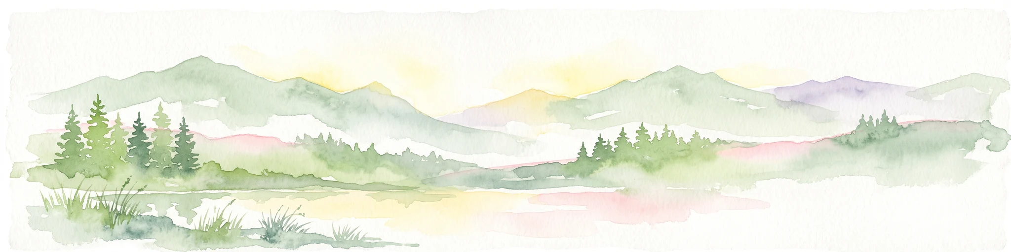
A horizontal watercolor painting showing a soft, stylized landscape of green rolling hills and volcanic peaks behind a line of pine trees and a calm body of water in the foreground.
Nature reserveRheinland-Pfalz
About 0.8 km away#2 closest

West

Hochsimmer Nature Reserve: Volcanic Topography and Forested Highlands of the Eastern Eifel

A study of basaltic twin cones and protected regional wilderness

Hochsimmer is a well-defined volcanic cinder cone near the Mayen-Koblenz district, characterized by its twin-peak profile and expansive woodland canopy. This protected nature reserve anchors the local topography where the volcanic Eifel meets the Middle Rhine basin, offering an essential reference for understanding the geological and ecological structure of the Rhineland-Palatinate high country.

Area
2.491 km²
Established
1973
Relief
Mountain
Climate
Temperate
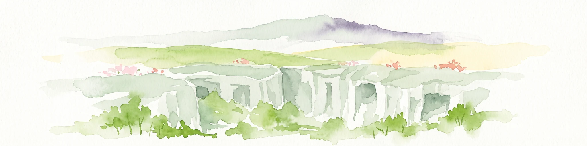
A watercolor painting showing a rocky, layered cliff face in the center, surrounded by green foliage, with rolling hills and a mountain range in the background against a white backdrop.
Protected areaRheinland-Pfalz
About 1.2 km away#3 closest

West

Mayener Grubenfeld: Protected Industrial Landscapes and Volcanic Terrain in Germany

A historic basalt mining district and vital bat hibernation hub

The Mayener Grubenfeld preserves deep traces of volcanic activity and industrial evolution, marked by porous basalt sheets and centuries of extraction. Today, the terrain consists of abandoned quarry pits, gallery systems, and dry grassland habitats that form a protected area of significant geological and ecological value within Rheinland-Pfalz.

Area
1.5 km²
Relief
Upland
Climate
Temperate
Access
Easy access
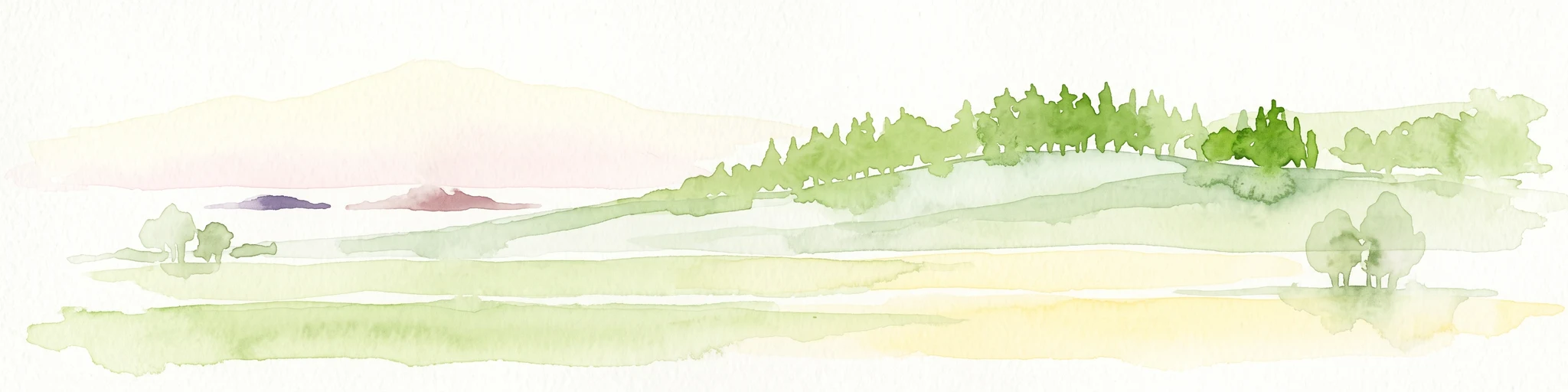
A soft watercolor painting of a green, rolling hillside with trees, set against a pale, light-filled background.
Nature reserveRhineland-Palatinate
About 1.9 km away#4 closest

West

Hochstein Nature Reserve: Geological Mapping and Protected Eifel Landscape Context

An extinct volcanic cone protected within Rhineland-Palatinate

Hochstein stands as a representative Vulkanberg in the Osteifel, offering a clear visual landmark of Germany's volcanic history. This protected nature reserve encompasses forested slopes, the storied Genoveva Cave, and the surrounding drainage basins of the Nette river system, providing a deep look into the regional geology and conservation boundaries of the Middle Rhine highland.

Area
3.511 km²
Established
1983
Relief
Mountain
Scope
Terrestrial
Nature reserveRhineland-Palatinate
About 3.8 km away#5 closest

Northwest

Lehrenkopf Nature Reserve: Mapped Volcanic Terrain and Regional Eifel Geography

Geological landscape and protected botanical site in Ahrweiler

Lehrenkopf stands as a compact nature reserve characterized by its 496-meter volcanic hill, which anchors the botanical and geological identity of the site. Spanning across the municipal territories of Kempenich and Brenk, this protected area serves as a focal point for regional conservation within the Eifel, emphasizing the preservation of rare wild plant species and the maintenance of distinct skyline features in the Ahrweiler district.

Area
0.35 km²
Established
1989
IUCN
IV
Relief
Mountain
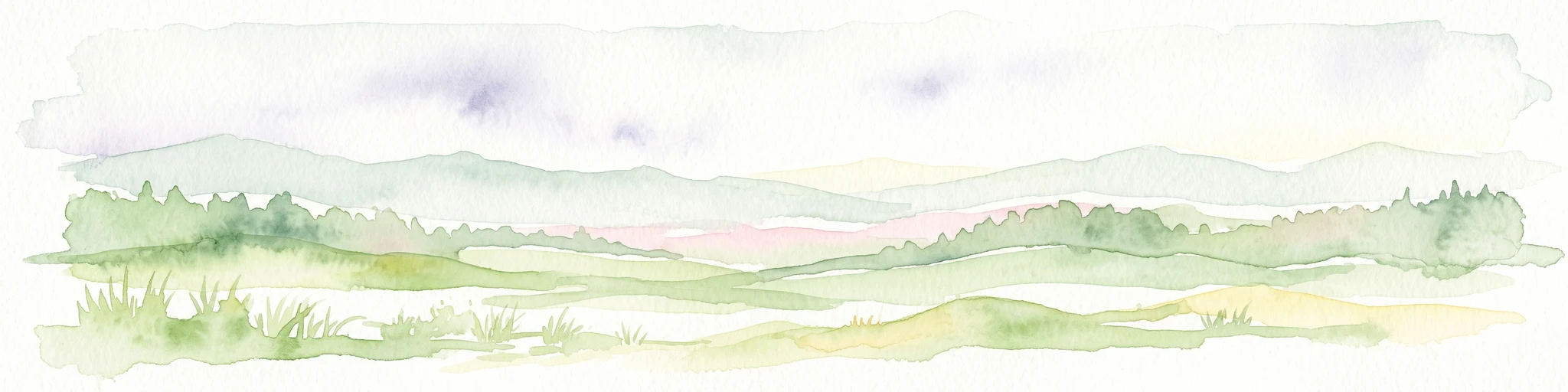
A pale watercolor painting showing soft green hills, distant mountain silhouettes, and light forest vegetation against a white background.
Nature reserveRheinland-Pfalz
About 4.8 km away#6 closest

West

Hohe Acht Nature Reserve: Geographic Profile and Protected Landscape of the Eifel Range

Highest volcanic summit in the Rhenish Massif

Hohe Acht reaches 746 meters in the Hocheifel, marking the highest point in the entire Eifel mountain region. As a protected nature reserve, the mountain features an eroded volcanic basalt neck surrounded by dense mixed woodland. Its elevation and prominent position above the surrounding ridges create a distinct focal point in the regional geography of Rhineland-Palatinate, providing a unique look at ancient volcanic history.

Area
1.67 km²
Established
1970
Relief
Mountain
Climate
Temperate
A horizontal watercolor painting showing a soft, minimalist landscape of a winding river surrounded by low green hills and floodplain vegetation on a white background.
Nature reserveRhineland-Palatinate
About 5 km away#7 closest

North

Namedyer Werth Nature Reserve: A Geographical Overview of the Middle Rhine Floodplain

Examining riparian habitat, river dynamics, and protected terrain.

Namedyer Werth stands as a significant nature reserve on the left bank of the Middle Rhine, showcasing restored floodplain forest and important bird habitats. This compact landscape, once a river island, provides a fascinating look at how transport infrastructure and natural conservation coexist. Examine the site as a key component of the Rhine river geography, famous for the Andernach cold-water geyser and its layered environmental history.

Established
1985
A watercolor painting showing a reddish-brown layered geological formation, likely a quarry or volcanic cliff, topped with trees, with softer green hills in the distance.
Nature reserveRhineland-Palatinate
About 5.4 km away#8 closest

North

Nastberg Nature Reserve: Volcanic Geology and Protected Landscapes in Rhineland-Palatinate

Tracing volcanic fissures and scoria cone history in the Middle Rhine region

Nastberg represents a significant geological site within the Vulkanpark network. The nature reserve exposes complex layers of tuff and scoria, documenting a long history of explosive activity. With views extending across the Neuwied Basin toward the Westerwald and Hunsrück, this site offers deep insight into the regional volcanic geography of western Germany.

Relief
Mountain
Climate
Temperate
Access
Easy access
Scope
Terrestrial

Common questions about visiting, size, designation, and location context for Nettetal Nature Reserve

Nettetal Nature Reserve FAQs for park facts, access, geography, and protected area context

Find quick answers about Nettetal Nature Reserve, including protected-area facts, park geography, trail and visitor context, and how the park fits into its surrounding country and regional landscape.
MoriAtlas Explorer

Continue Your Protected Areas Search Across the Global Atlas

Deepen your exploration by continuing the structured search for national parks and protected areas worldwide. Utilize the comprehensive filtering capabilities to compare different conservation landscapes and refine your understanding of global park geography. Discover more about the distribution and characteristics of protected natural areas.

Global natural geography