
Mapping the distribution and structural diversity of prominent karst landmarks
Named Rock Formations and Limestone Outcrops in the Geography of Ojców National Park
The karst topography of Ojców National Park is defined by diverse limestone formations carved through millennia of erosion. This structured overview catalogs individual named rock entities, providing geographic context for monoliths, towers, and outcrops distributed across the Prądnik and Sąspówka valleys. By detailing these distinct landmarks, we clarify the spatial relationship between Jurassic bedrock exposure and the broader upland terrain.
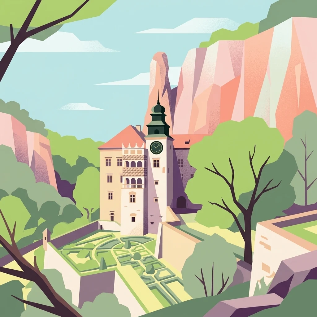
Trace the iconic columns, arches, and limestone towers of Poland's smallest national park.
Mapped Limestone Rock Formations and Karst Monoliths in Ojców National Park
Map readers can browse the significant individual limestone Rock outliers and towering column features situated within the valleys of Ojców National Park. Tracking named karst landmarks helps geographers analyze the severe water erosion that sculpted the complex Jurassic bedrock across the regional landscape.
No natural features found
Explore the Regional Geography and Karst Landscapes Surrounding Ojców National Park
Discover Nearby National Parks and Protected Areas Beyond Ojców National Park
Rock Outcrops and Geological Features of Arcipelago Toscano National Park
Investigate the specific rock features, including sea stacks and isolated outcrops, situated within the bounds of Arcipelago Toscano National Park. This structured index provides geographic context for individual rocky landmarks that contribute to the distinctive granite-based topography of the Tuscan Archipelago islands.
Rock Formations and Geological Outcrops of Ojcowski Park Narodowy in Poland
Explore the collection of named rock formations preserved within the limestone terrain of Ojcowski Park Narodowy. This geographic index tracks individual outcrops and stone massifs that define the valley walls and river gorges throughout this distinct protected upland region in southern Poland.
Named Rock Features and Limestone Outcrops in Pieniński Park Narodowy
Investigate the specific Rock features located throughout the Pieniński Park Narodowy ecosystem. This resource provides a structured look at individual limestone outcrops and exposed rocky masses that shape the visual relief and biological habitat of this protected Carpathian region.
Documented Rock Landmarks and Outcrops Located Across Pieniny National Park
Identify specific rock masses and isolated natural outcrops within the boundaries of Pieniny National Park. This structured collection maps prominent geological landmarks, providing a clearer understanding of the karst landscape and vertical geography that define this historic protected area in southern Poland.
Rock Formations and Geological Outcrops within Arches National Park, Utah
Examine the inventory of distinct rock entities, including prominent monoliths and outcrops, situated throughout Arches National Park. This geographic collection offers a structured way to observe how these specific rocky landmarks punctuate the high desert terrain of the Colorado Plateau.
Rock Formations and Geological Outcrops of Gorce National Park, Southern Poland
Examine a categorized selection of named rock features and geological outcrops located across Gorce National Park. This atlas supports the visual interpretation of the park landscape by documenting individual rocky landmarks within the Western Beskids, detailing their relationship to the surrounding forest and alpine meadow zones of the Polish mountains.
Named Rock Formations and Exposed Geological Outcrops in Gorczański Park Narodowy
Access a structured collection of named rock formations located within the boundaries of Gorczański Park Narodowy. The focus is on individual outcrops and exposed masses that mark the landscape, providing geographic data for enthusiasts and researchers studying the features of this unique Polish protected area.
Rock Formations and Distinctive Geological Outcrops in Gouraya National Park
Access a structured inventory of named rock outcrops and exposed natural masses situated within the boundaries of Gouraya National Park. This collection focuses on the specific physical identity and regional landscape placement of these rocky landmarks as they correlate with the coastal cliffs and mountain slopes of northern Algeria.
Comparing different geographic feature categories to understand the park's complete physical layout
Discovering Alternative Natural Features in Ojców National Park Beyond Rocky Formations
Geographic atlas of protected limestone surface voids.
Cave entrances
Discover the network of mapped cave entrance sites distributed across the limestone plateaus and river gorges of Ojców National Park. This reference provides geographic context for identifying surface-to-subsurface transition points shaped by historic dissolution and weathering in the Jurassic bedrock.
Analysis of channels within the karst terrain
Streams
Navigate the network of streams found throughout Ojców National Park in Poland. This resource offers a structured look at the flowing watercourses that cut through deep limestone gorges, providing essential context for the park's unique karst topography and hydrological landscape.
Mapped exposures in the Kraków-Częstochowa Upland
Cliffs
This index provides a structured examination of the limestone cliff faces found throughout Ojców National Park. Analyze how these vertical geological features intersect the Prądnik and Sąspówka river valleys and the surrounding upland plateaus, offering a comprehensive view of the park's characteristic karst terrain.
Mapping summit points across the Jurassic karst landscape.
Peaks
Explore the named summits and high points that define the rugged terrain of Ojców National Park. These features provide a structured look at the geomorphology of the limestone plateau, river gorges, and the surrounding upland surface, allowing for a better understanding of the park's unique physical characteristics.
Mapping surface water emergence in karst terrain
Natural springs
Springs act as vital intersections between underground aquifers and the rugged surface of Ojców National Park. These natural outlets emerge from porous limestone fractures to support river valleys and wetland systems. Understanding their distribution helps interpret the formation of dramatic ravines and cliff systems within this protected Polish landscape.
Explore the Named Natural Features and Karst Geography of Ojców National Park
Deepen your understanding of Ojców National Park by browsing the full index of its geological landmarks. MoriAtlas provides a spatial look at the specific cliffs, gorges, and subterranean environments that constitute this distinct karst landscape in Poland.